Moderate

Tower Arch Trail

Quiet slickrock and sand to a massive arch far from the crowds
Tower Arch Trail, Arches National Park
Distance2.6 mi
Typical time2.5 hr
DifficultyModerate
PetsNot allowed

Why hike it

If you want big-arch drama without the tour-bus energy, Tower Arch is your move. Tucked in the remote Klondike Bluffs, this out-and-back serves solitude, sweeping desert views, and a finale under a huge span framed by sandstone towers. It’s a moderately strenuous 2.6 miles roundtrip with sandy grinds and short steep pitches that keep things honest.

The hike

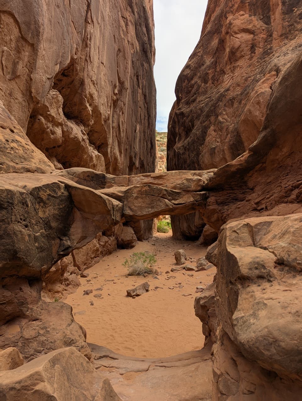
From the signed trailhead, the route pops steeply up a rocky slope (the first punchy climb), then drops into a broad, photogenic valley of fins and domes. Cairns guide you across slickrock and sand toward the heart of the bluffs. Expect a sandy uphill section near the end that feels twice as long in heat. As you approach the namesake arch, you’ll thread between narrow rock fins into a quieter pocket of the park.

Landmarks and views

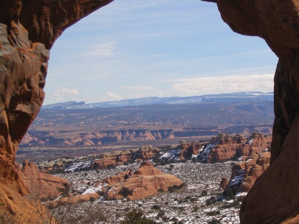
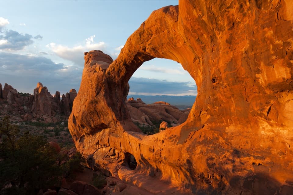
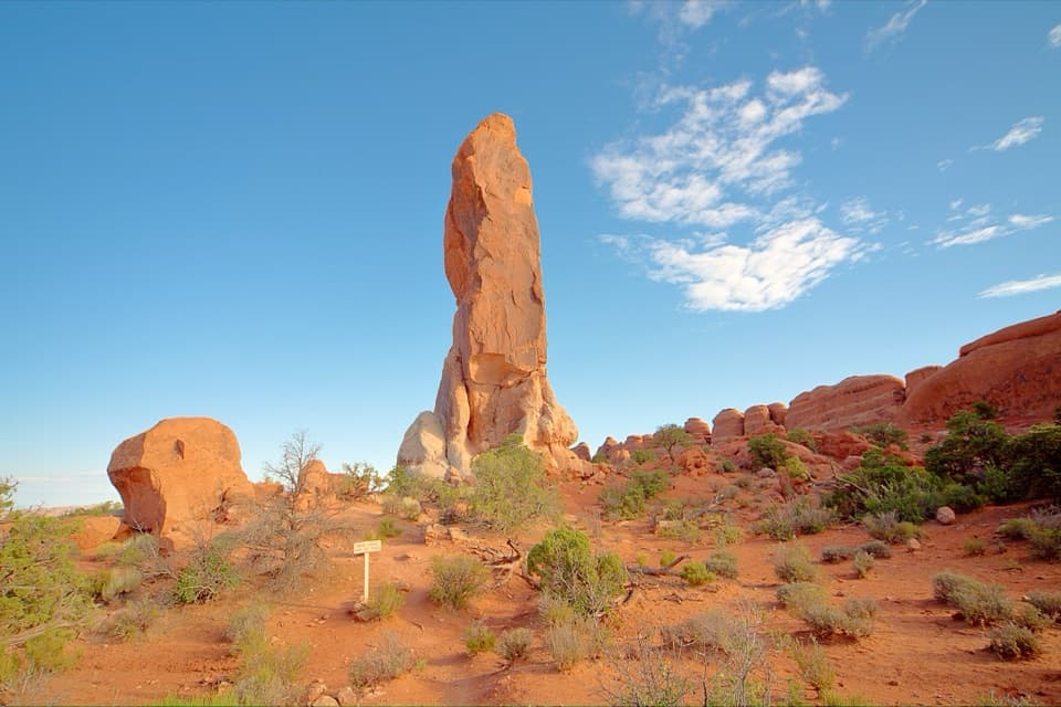
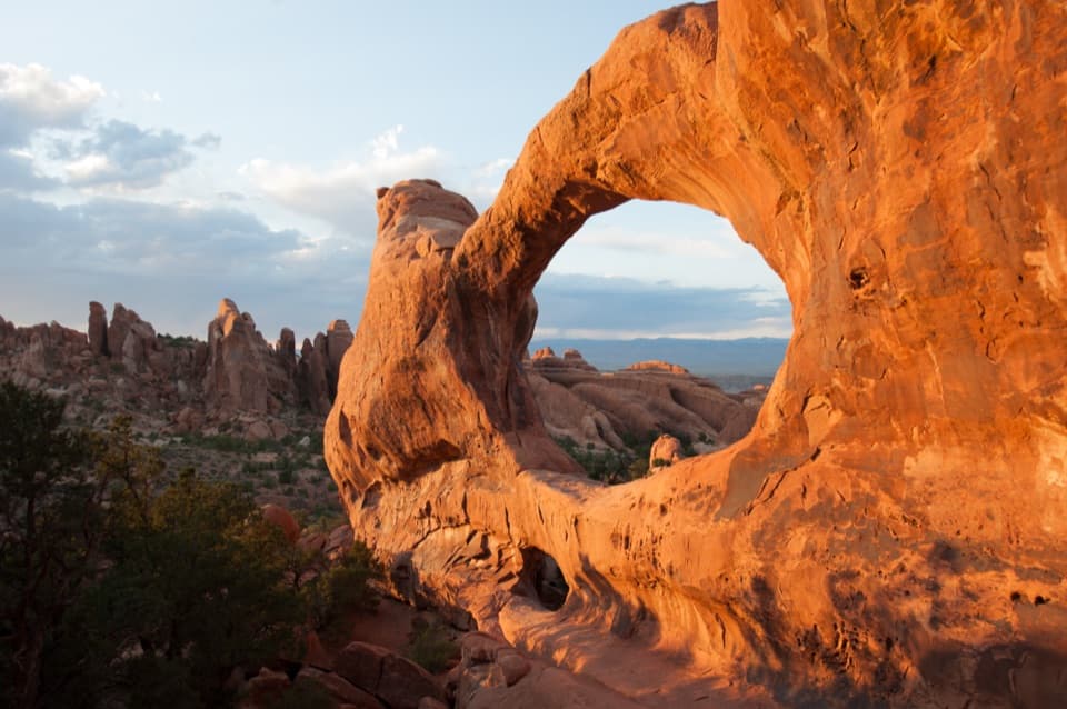
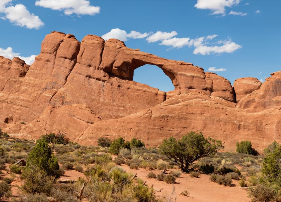
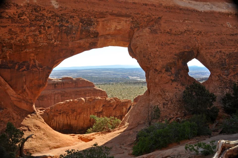
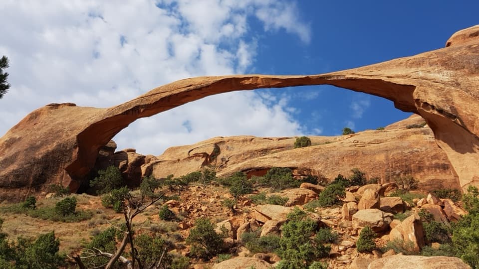
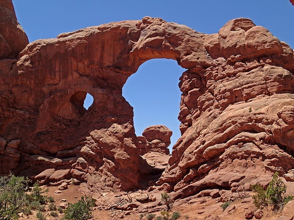
Keep an eye left for the Marching Men—tall, skinny spires lined up on a sandstone fin—visible about a mile in from the main descent. Near the turnaround, glance right for slim Parallel Arch, a bonus many miss on the way out but spot on the return. Tower Arch itself is impressively large (reported around 92 feet across) and spectacular at golden hour when the rock glows.

Geology snapshot

You’re walking among Entrada Sandstone sculpted into fins, spires, and arches by wind, water, and time. Beneath much of Arches lies an ancient salt bed that flowed and deformed the overlying rock, creating fractures that erosion later widened into today’s arches.

Logistics and access

Getting here is part of the adventure: the trailhead sits off Salt Valley Road, about 8 miles of unpaved driving with sandy/washboard sections. In dry conditions most cars make it; after rain, conditions deteriorate quickly—high clearance is wise and the road can become impassable. Parking is a small dirt lot; arrive early for a spot and cooler temps. Cell service is limited.

Difficulty, distance, and time

Plan on 2–3 hours for the 2.6-mile roundtrip. Total elevation gain is commonly reported around 600 feet, spread across a steep opener, rolling terrain, and a sandy finish. The trail is primitive, with uneven footing and minimal shade.

Best time to hike

Spring and fall are prime. Summer heat turns the sandy sections into a slog—start at dawn or finish near sunset for manageable temps and best light. Avoid wet weather; the access road and the trail’s sandy stretches are unpleasant (or unsafe) when soaked. If visiting during the park’s daytime timed-entry season, secure your entry ahead of time.

Trail tips

  • Watch for cairns—easy to drift off-course on slickrock and in sand.
  • Bring more water than you think you need, plus sun protection; shade is limited to pockets near the arch.
  • Consider a downloaded map/GPS; signage is sparse and cell service is spotty.
  • No pets on park trails.

Bottom line: underrated and rewarding. If you value quiet, striking geology, and don’t mind a sandy workout, Tower Arch beats the main-corridor chaos.

Pros

  • Consistently light crowds even on busy park days
  • Bonus Parallel Arch is an easy-to-miss extra right near the turnaround

Cons

  • Sandy uphill section feels strenuous in heat
  • Unpaved access road can become difficult or impassable when wet

Parking

Small dirt lot at the signed Tower Arch Trailhead off Salt Valley Road (about 8 miles of unpaved driving). Arrive early for a spot and cooler temps.

Caution

Exposure, heat, and sand make this feel tougher than the mileage; navigation relies on cairns and can be confusing on slickrock; road access degrades when wet and cell service is limited—carry extra water and a downloaded map.

The Parkwolf tour guide sitting on a phone mounted in a car

Parkwolf Tour Guide

Like a tour guide in your car.

Bring Arches trail research into the car, with offline maps and stories that play as you drive.Download Parkwolf on the App Store