Overview
About Tower Arch
Why stop
- The Marching Men and Parallel Arch make the approach part of the payoff.
Heads up
- Eight unpaved road miles lead to a strenuous, sandy trail with little shade.
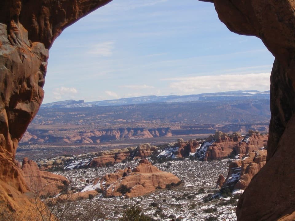
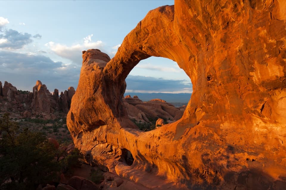
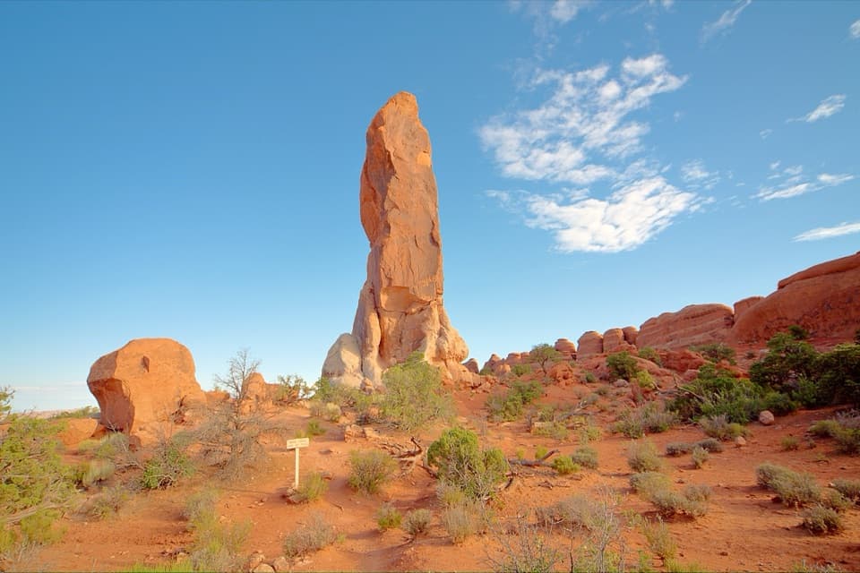
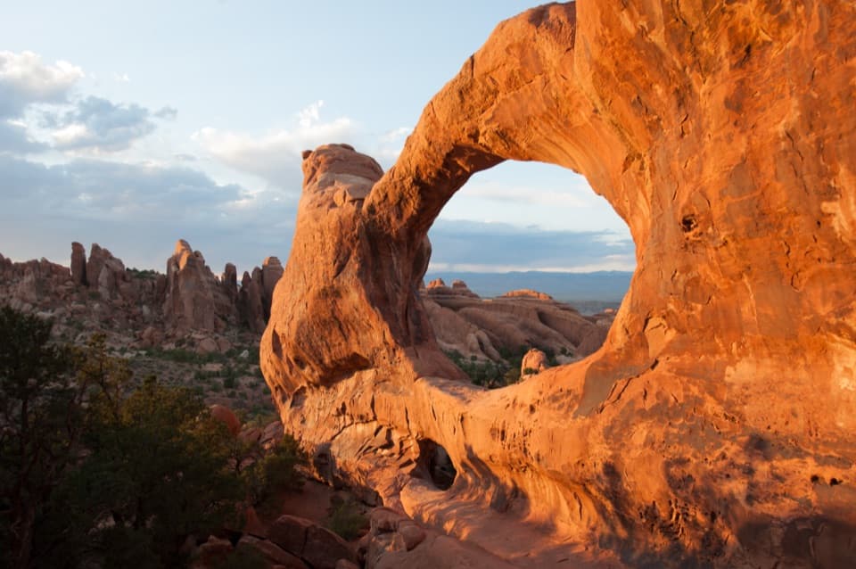
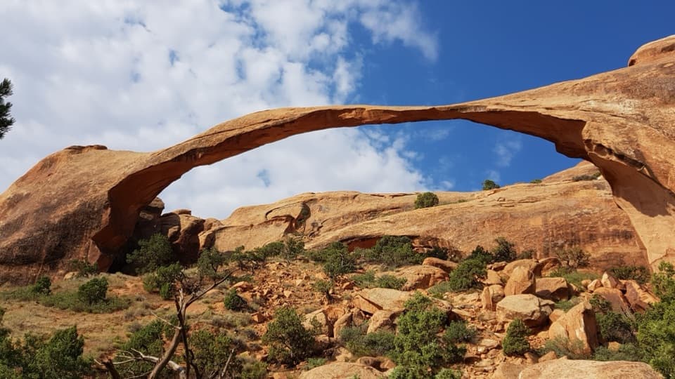
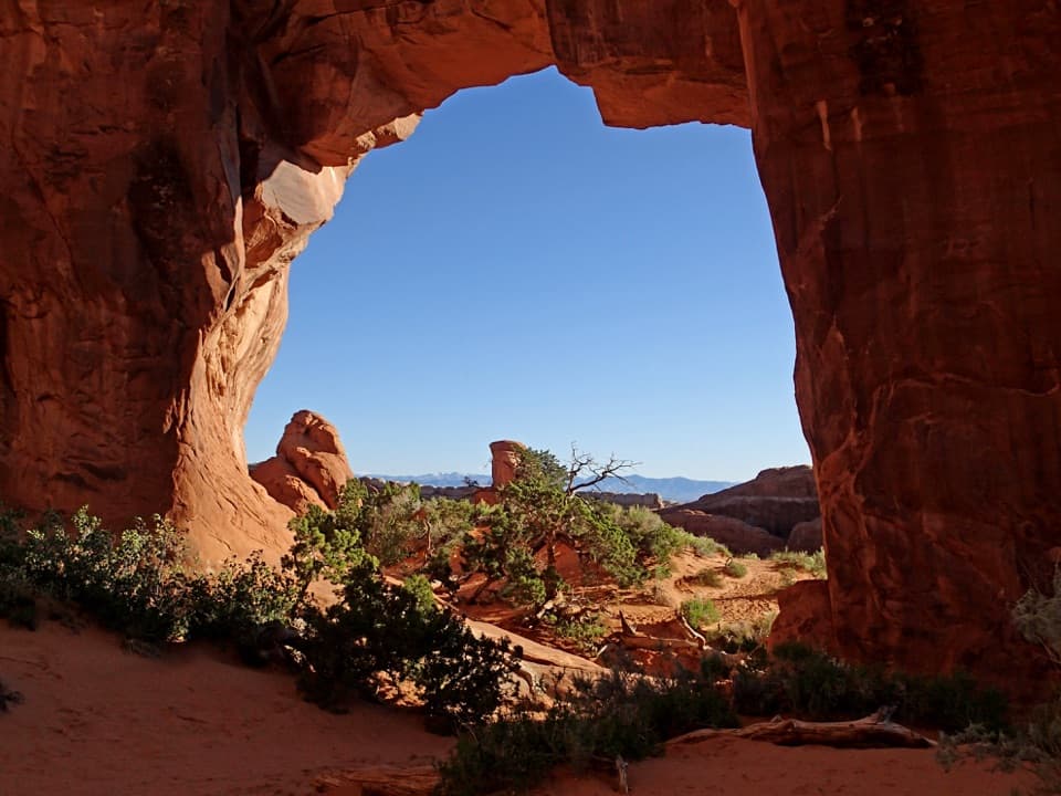
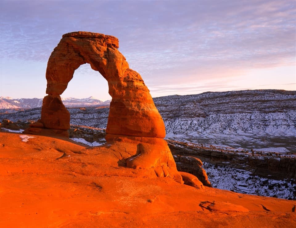
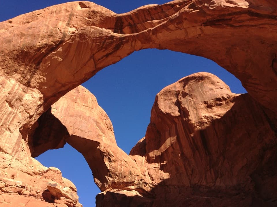
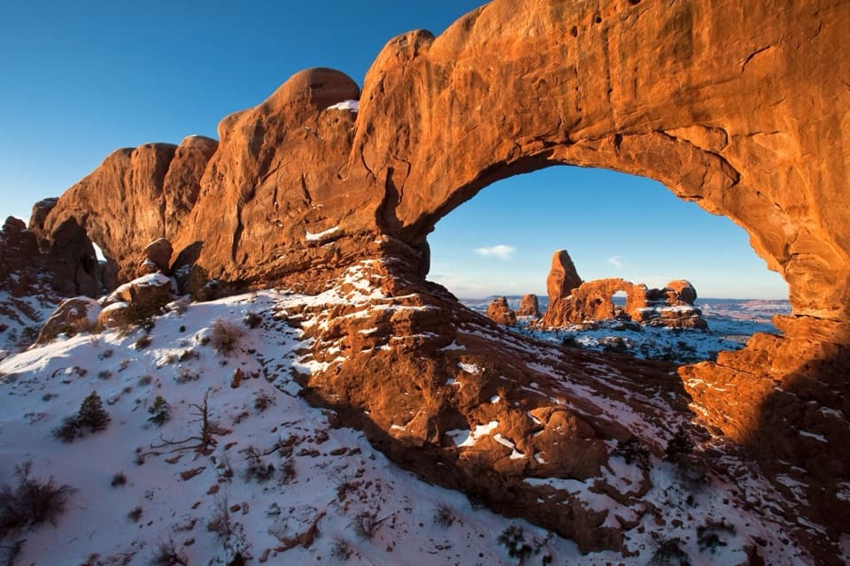
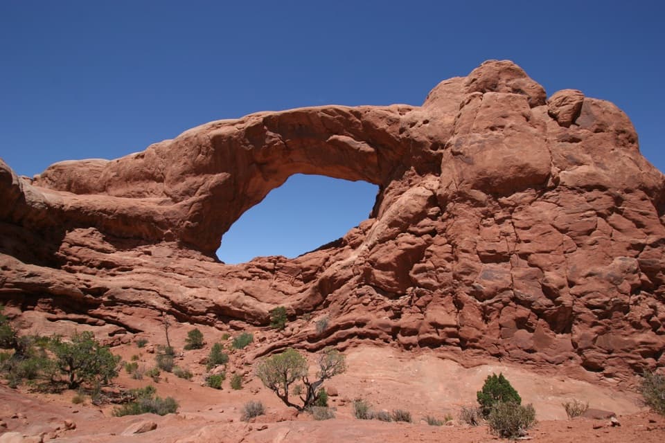
Tower Arch is a broad sandstone opening, roughly 92 feet across, in the Klondike Bluffs area of Arches. A rounded rock tower rises behind it, and this is one of the park’s quieter, less-developed corners. Getting there takes a real hike: the standard trail is 2.6 miles round trip, takes two to three hours, and is rated strenuous. I’d make time for it if you want a hike away from the busiest roadside stops; skip it if you need a quick pullout.
 Parkwolf’s verdictIs it worth the trip?
Map
Where it is

The highest, rockiest slopes around here are a summer buffet for grizzly bears.
Arches Tour Guide
Your drive to Tower Arch, narrated.
Parkwolf is a GPS audio tour guide for Arches National Park. As you drive, it chimes in with what’s ahead: hidden gems, upcoming stops, history, geology, and wildlife, right through your car’s speakers.
See the Arches audio tourRecorded for this place
Tower Arch and Klondike Bluffs“You're approaching the Tower Arch trailhead in Klondike Bluffs, a quieter corner for a strenuous hike. Allow two to three hours for the two point six-mile round trip, with a steep rocky start, soft sand and little shade.”
Plays as you drive up to Tower Arch in the Parkwolf Arches Tour Guide.
More stories near here in the app
- A Bat’s Flight Is Full of Sound
- Bringing Bighorns Back
- A Packrat’s Record of the Past
- A Lizard on Two Legs
- 35 audio storiesacross Arches’s roads, triggered by GPS as you drive
- Wildlife heatmapsfor Bighorn Sheep, Pronghorn, Raven, and 13 more
- Works offlinemaps, 28 trails, 41 places, and audio download before you lose signal
- CarPlay readysimple controls built for the drive
“I can’t believe how helpful this app is and how interesting the information is for each highlight along the Arches Scenic Drive! This is the first park I’ve used it in.”


Guide
More about Tower Arch
Use the standard approachFrom the main park road, follow Salt Valley Road to the Tower Arch trailhead.
From the main park road, follow Salt Valley Road to the Tower Arch trailhead. The drive includes eight miles of unpaved road. Two-wheel drive is normally enough, but rain or snow can make the road 4WD-only or impassable. Check conditions at the visitor center before heading out; there is no cell service in this area. A separate west-side approach uses a rugged 4WD track, so don’t mistake reports about that road for the standard route.
There is auto parking and a vault/composting toilet at the trailhead, but no potable water is listed. The trail has little shade; carry at least two quarts (about 2 liters) per person and wear shoes with grip. Steep rock and sand make this hike unsuitable for wheelchairs, and dogs aren’t allowed on park trails.
The walk before the archThe route starts with a steep climb up a rock wall, then crosses a valley filled with sandstone…
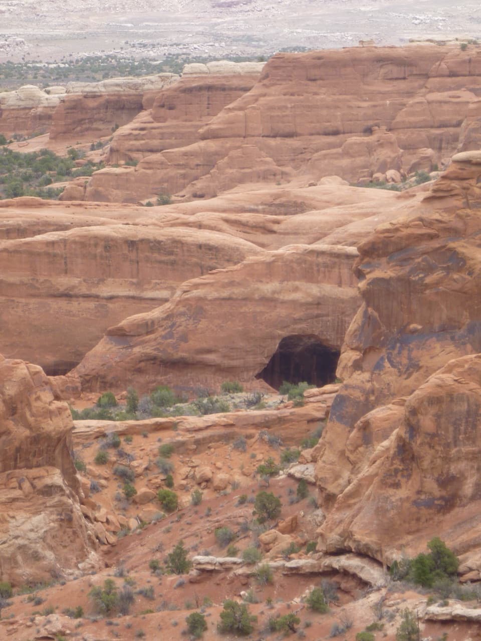
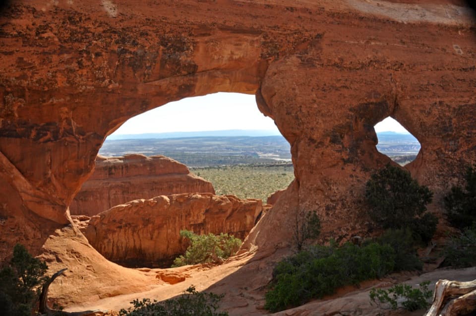
The route starts with a steep climb up a rock wall, then crosses a valley filled with sandstone fins, towers and spires. Four spires on a fin south of the route are known as the Marching Men. A sandy uphill stretch comes before the trail threads between fins near the arch. Look for Parallel Arch on the approach; it can be easier to pick out on the return.
Stand in front of the spanThe trail ends at a viewpoint facing the opening, with the rounded tower rising behind and…
The trail ends at a viewpoint facing the opening, with the rounded tower rising behind and north of it. For a photo, keep both the arch and tower in the frame; that shows the shape that gave the place its name. The rock and shrubs in the foreground help give the wide opening some scale.
How the rock opensMost arches around Klondike Bluffs are in Entrada Sandstone.
Most arches around Klondike Bluffs are in Entrada Sandstone. Across Arches, water works through porous sandstone until it meets less-permeable layers, dissolving the mineral cement that holds grains together. Cracks widen through weathering and freeze-thaw, turning sandstone walls into fins and, eventually, openings. That is the park-wide process behind this landscape; a Tower Arch-specific age or formation study was not found.
Wildlife
Wildlife in Arches
 14 sightingsBighorn SheepMost seen around 7 AMSighting map
 10 sightingsPronghornMost seen around 7 AMSighting map
 610 sightingsRavenMost seen around 9 AMSighting map
 188 sightingsMule DeerMost seen around 7 PMSighting map
 51 sightingsPrairie DogMost seen around 8 AMSighting map
 15 sightingsCoyoteMost seen around 6 AMSighting map
Sighting maps show where each species has been reported across Arches. Wildlife moves, so no sighting is guaranteed.