
Place
Challenging
This is a rugged, rewarding day on the West Coast side of the Southern Alps, climbing from highway-level forest to the 5,675‑foot/1,730‑m summit of Mt Barron. Expect a sustained, very steep climb, hands-on scrambling, and unmarked alpine travel above the bushline. Total distance is roughly 8.3 miles round‑trip, and most parties should plan on 7–9 hours.
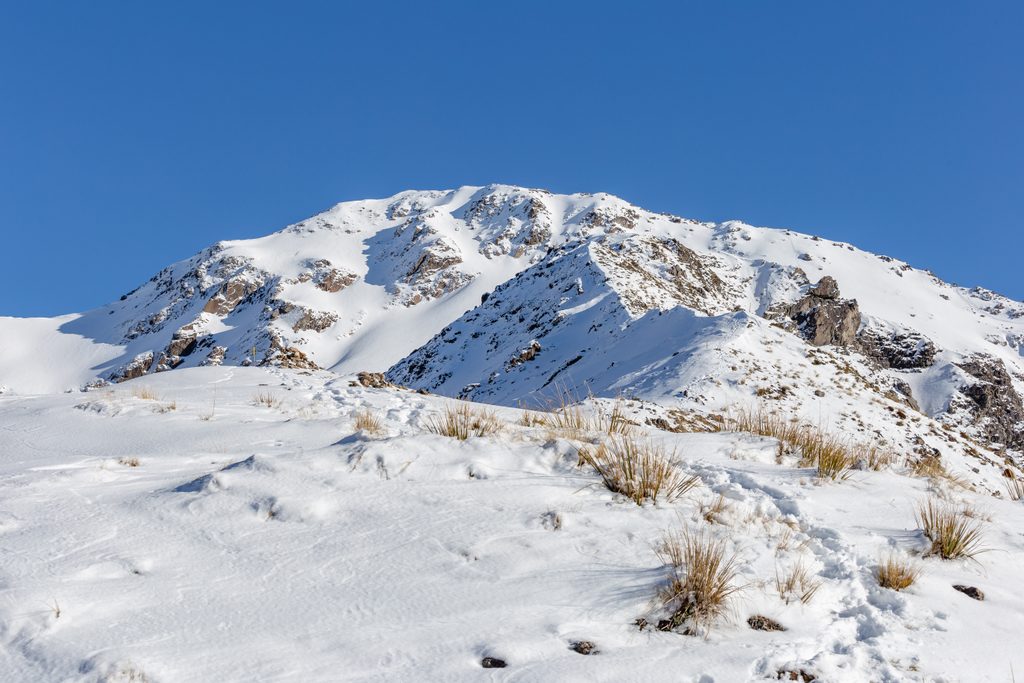
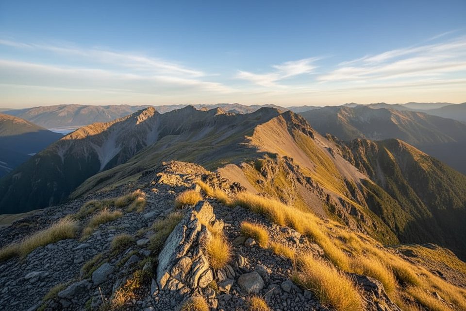
From just south of Otira, the track launches straight into steep West Coast forest, generally marked with orange triangles. If you go long without seeing one, backtrack—losing the line is easy in the trees. Near the bluffs at the bushline a small “track” sign marks the last bits of marking; beyond here, it’s a choose‑your‑own alpine route. Above, you weave through subalpine scrub into tussock and rock, cresting point 1569 m, then crossing a basin to gain the ridge. The ridge to the summit looks intimidating but goes on big, solid rock slabs with sections of blocky scree. On descent, the scree high up is very loose—move one at a time and give each other space. If your knees are cooked, dropping back to the marked track instead of chasing scree is a smart call.
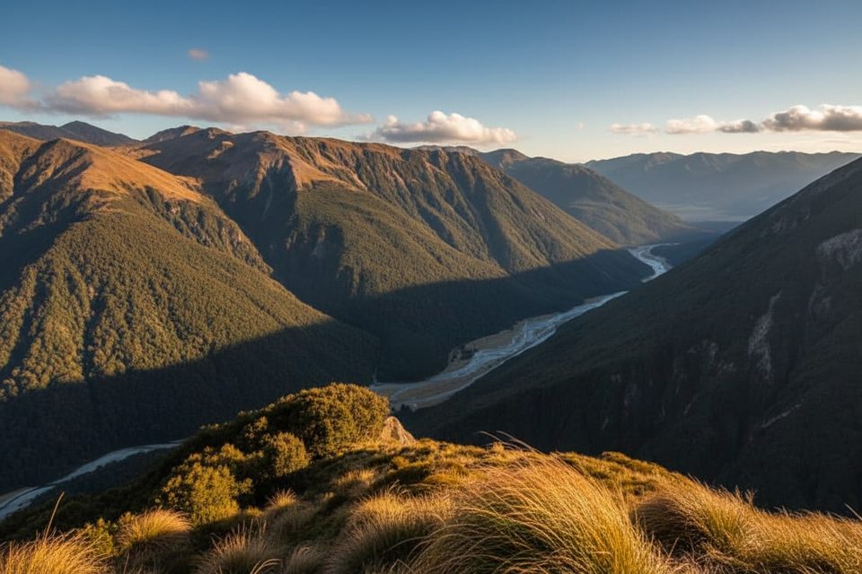
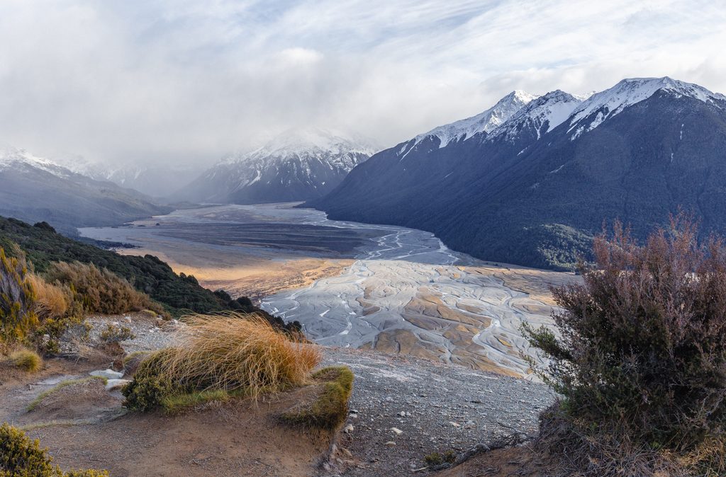
It’s fabulously rugged up top: bluffs, ribs of slabs, and wide‑open basins. Views sweep over the Otira River, across Arthur’s Pass country, and out toward the West Coast. On a crystal day you can spot notable peaks like Mt Rolleston and Mt Armstrong, and even Lake Brunner from certain angles.
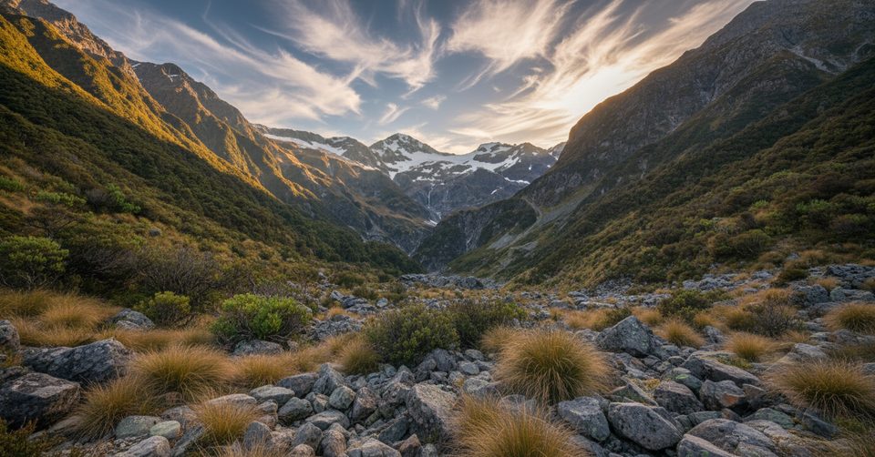
You’ll pass from damp, lush forest into a belt of flax and broad‑leaved subalpine shrubs, then tussock and bare rock. Keep an ear out for the thin whistles of rock wrens around the basins and ridges, and tomtits in the subalpine scrub. Kea are present in the park and might make an appearance.
Aim for a settled‑weather window between November and April. In poor conditions this route turns sketchy fast; even on fine days, shaded rock can hold frost or ice well into midday. Start early for plenty of daylight and firm morning travel.
If you enjoy steep, unpolished West Coast routes and don’t mind hands-on scrambling and navigation, this one delivers big, wild payoff in a single day. If you want a cruisy, well‑formed track, look elsewhere—this is a backcountry route first, “track” second.
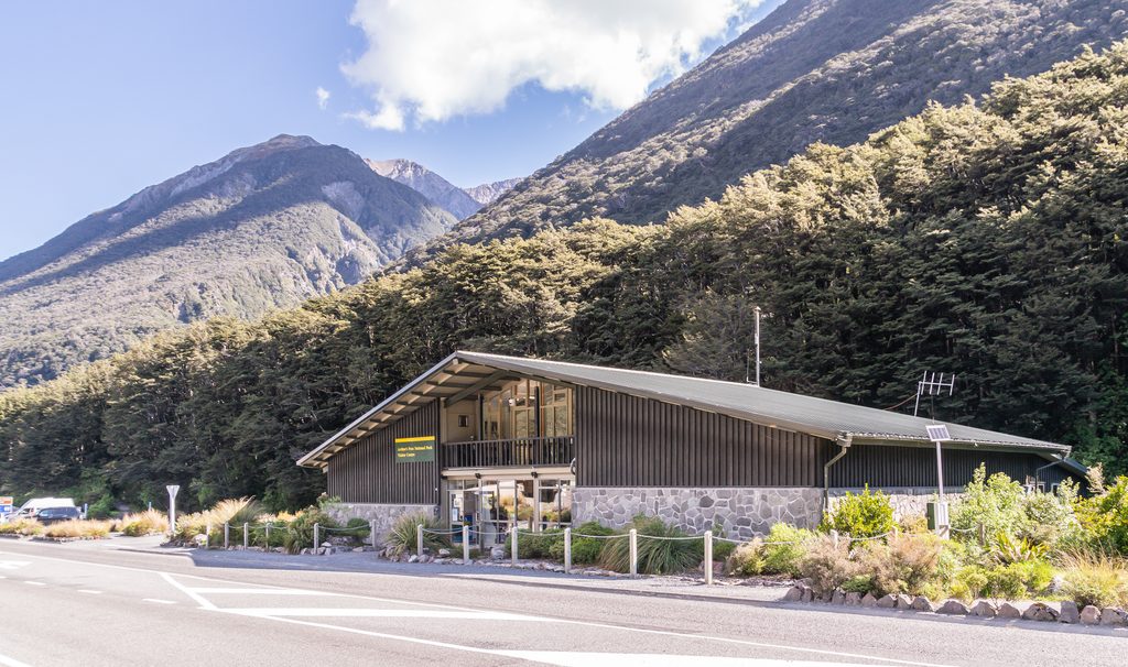
Roadside grass verge opposite the start, just south of Otira; look for the old sign near the pipeline on the east side of the road.
Steep, unmarked alpine travel above the bushline with hands-on scrambling and very loose scree; route-finding required, markers sparse; limited water; can be icy even at midday in cold weather—attempt only in good conditions.
Place
Place
Place
Place
Challenging
Challenging
Moderate
Moderate

Parkwolf Tour Guide
