Parking
The route starts at Jacksons Retreat campground / bush-track access. It crosses holiday-park grounds; no separate public day-use parking arrangement was confirmed. Register and check access with the retreat before starting.
Arthur's Pass National Park, CB · WC
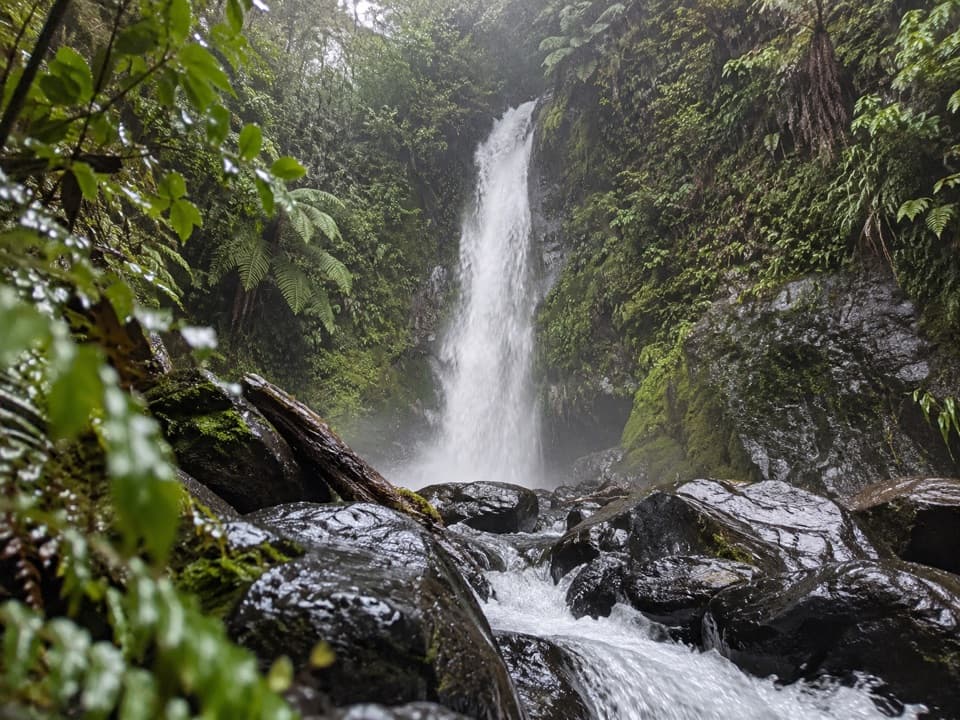
A short native-bush walk to Ngarimu Waterfall
Overview
The property also calls this the Glow Worm Waterfall walk, but the name isn't a promise of sightings at the falls. Glow-worm viewing is associated with creek-bank dells nearby; their presence at the waterfall itself isn't established. Treat any sightings as a bonus, and don't count on them when deciding whether to make the walk.
Map & elevation
Plan your hike

The highest, rockiest slopes around here are a summer buffet for grizzly bears.
Arthur's Pass Tour Guide
Parkwolf is a GPS audio tour guide for Arthur's Pass National Park. As you drive, it chimes in with what’s ahead: hidden gems, upcoming stops, history, geology, and wildlife, right through your car’s speakers.
Recorded for this area
The Giant Buttercup’s Rain Bowls“If you see big, glossy leaves holding little pools of rain on an alpine walk, look for Mount Cook buttercups. The leaves form shallow bowls and can grow wider than your hand.”
Plays on the road 0.3 km from the trailhead in the Parkwolf Arthur's Pass Tour Guide.
More stories near here in the app
“Fantastic app with many points of information… It’s great to just turn on while you’re driving and it gives you an audio tour of the national Park. We love it!!!!”


Trail guide
Ngarimu Waterfall Track is a short out-and-back from the bush-track access inside Jacksons Retreat to the falls. The mapped route is about 0.7 miles round trip and takes roughly 40 minutes. It's a good add-on if you're already staying at the retreat. If you're visiting for the day, confirm permission first: this walk crosses the holiday park, which requires visitor registration and may refuse entry or charge unregistered visitors.
The path climbs from the campground through native bush, with ferns, ponga tree ferns, tōtara and rimu, then reaches the waterfall and returns the same way. It's unpaved and climbs about 275 feet over the short approach, so expect a brief, fairly steep uphill walk rather than a level stroll. The route is not wheelchair accessible. A separate, longer Quartz Mine Site walk follows another route and isn't part of this waterfall outing.
Wildlife
 982 sightingsKeaMost seen around noonSighting map
 39 sightingsNew Zealand FalconMost seen around 5 PMSighting map
 190 sightingsBlue DuckMost seen around 5 PMSighting map
 20 sightingsKākāMost seen around 8 AMSighting map
 15 sightingsWekaMost seen around 7 AMSighting map
 15 sightingsParadise ShelduckMost seen around 6 PMSighting map
Sighting maps show where each species has been reported across Arthur's Pass. Wildlife moves, so no sighting is guaranteed.
Keep exploring
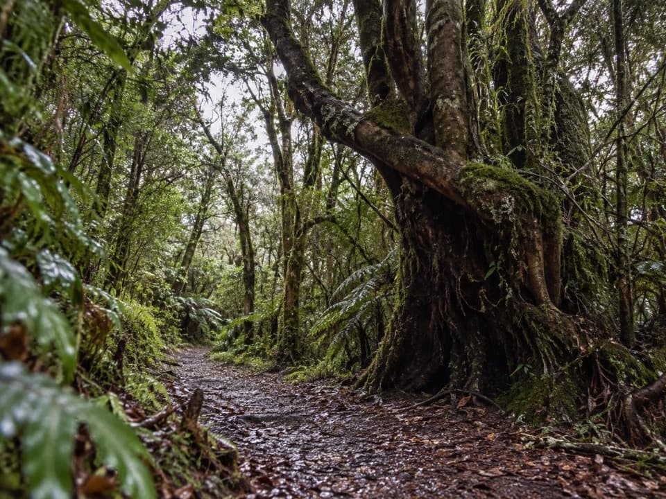 ModerateNgarimu Walking Track4.7 km · 3 hr · At the trailheadA rainforest climb to Jacksons’ old quartz-mine workings.
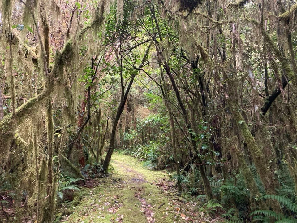 ModerateCockayne Nature Walk1 km · 30 min · 7.7 km awayA short, steep climb through lush rainforest to a hilltop bench.
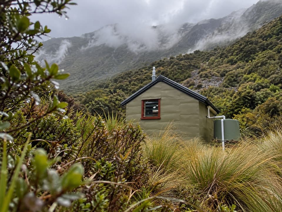 ChallengingHunt Saddle Track to Hunts Creek Hut Track16.8 km · 9 hr · 7.7 km awayA rough riverbed tramp to a hut in a high tussock basin.
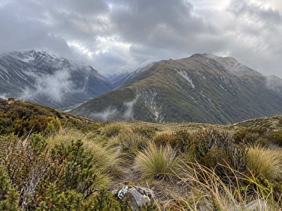 ChallengingKellys Hill via Carroll Hut8 km · 8 hr · 7.7 km awayA steep forest climb to an exposed summit and Tasman Sea views.
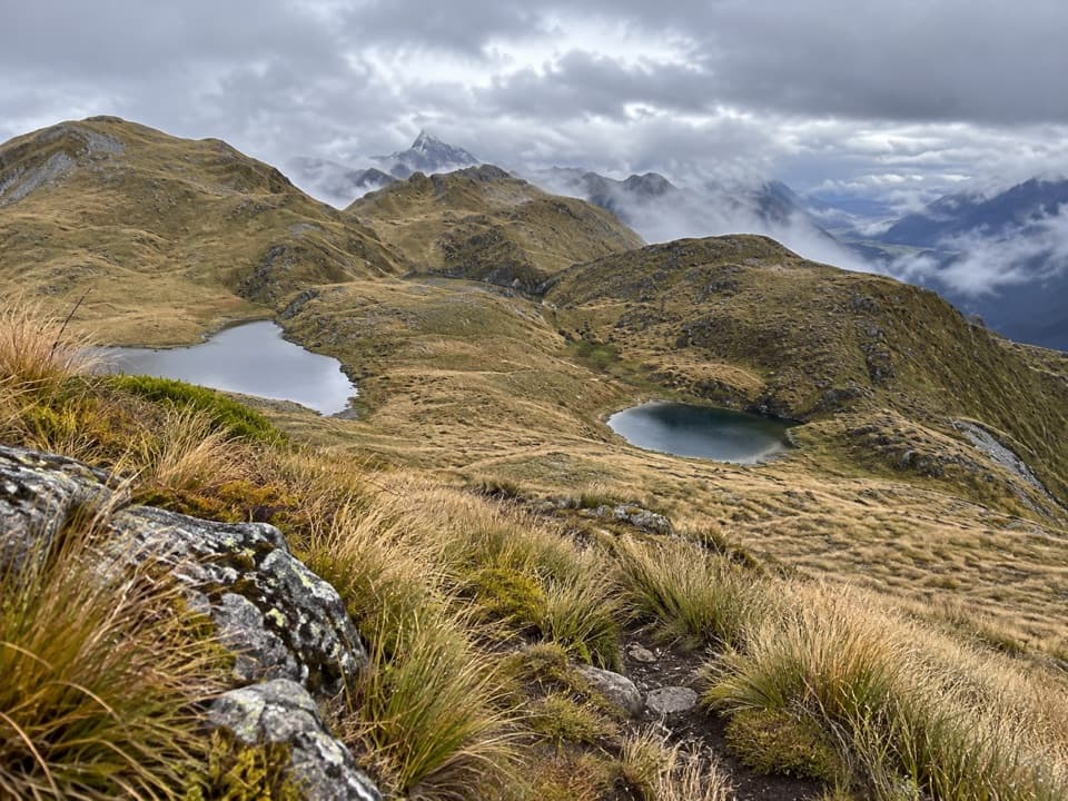 ChallengingKelly Range Tarns via Carroll Hut10 km · 8.5 hr · 7.7 km awayA steep hut climb opens to Kelly Range tarns and alpine views.
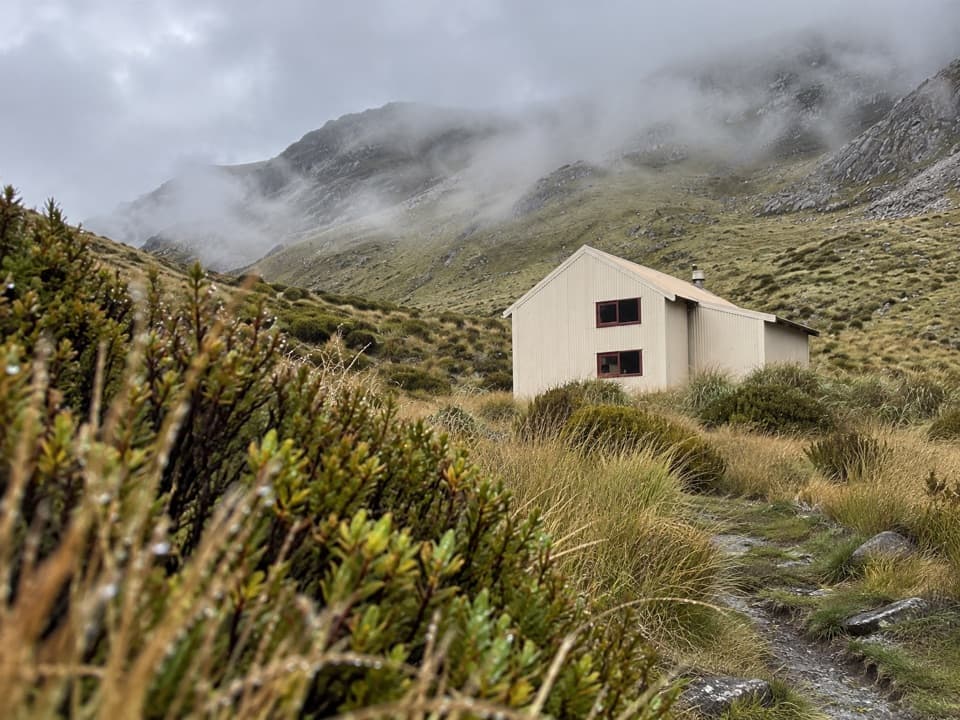 ChallengingCarroll Hut Track5 km · 6 hr · 7.7 km awayA steep forest climb to a hut above the Taramakau.
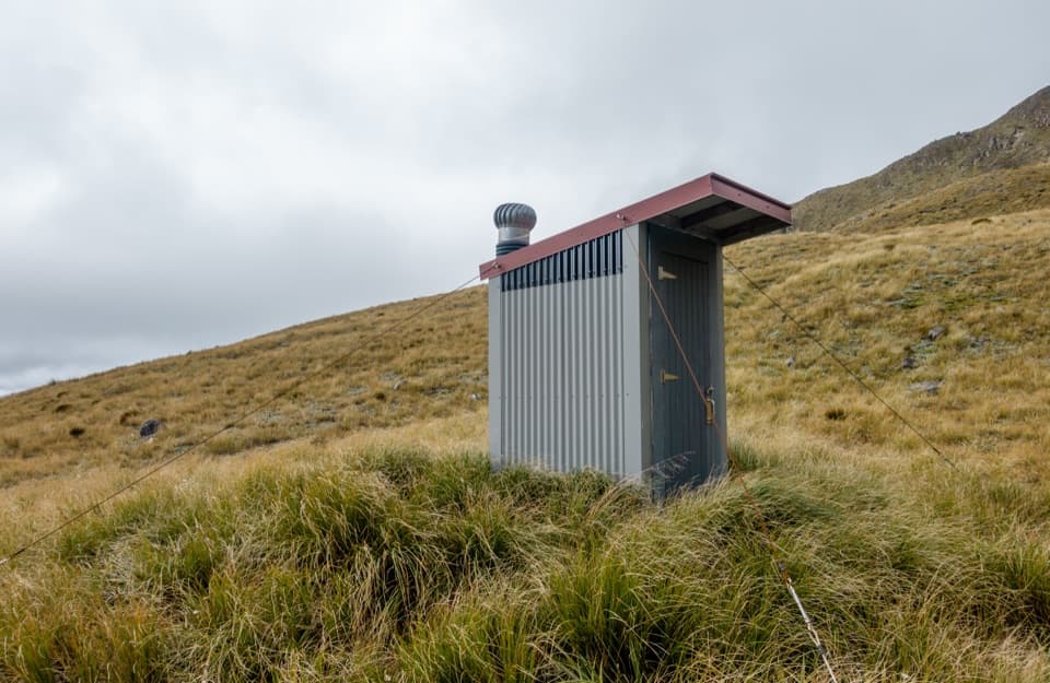 ChallengingPfeifer Bivvy via Waharoa Saddle15.3 km · 10 hr · 8.6 km awayA remote bivvy above a rough creek climb and alpine saddle.
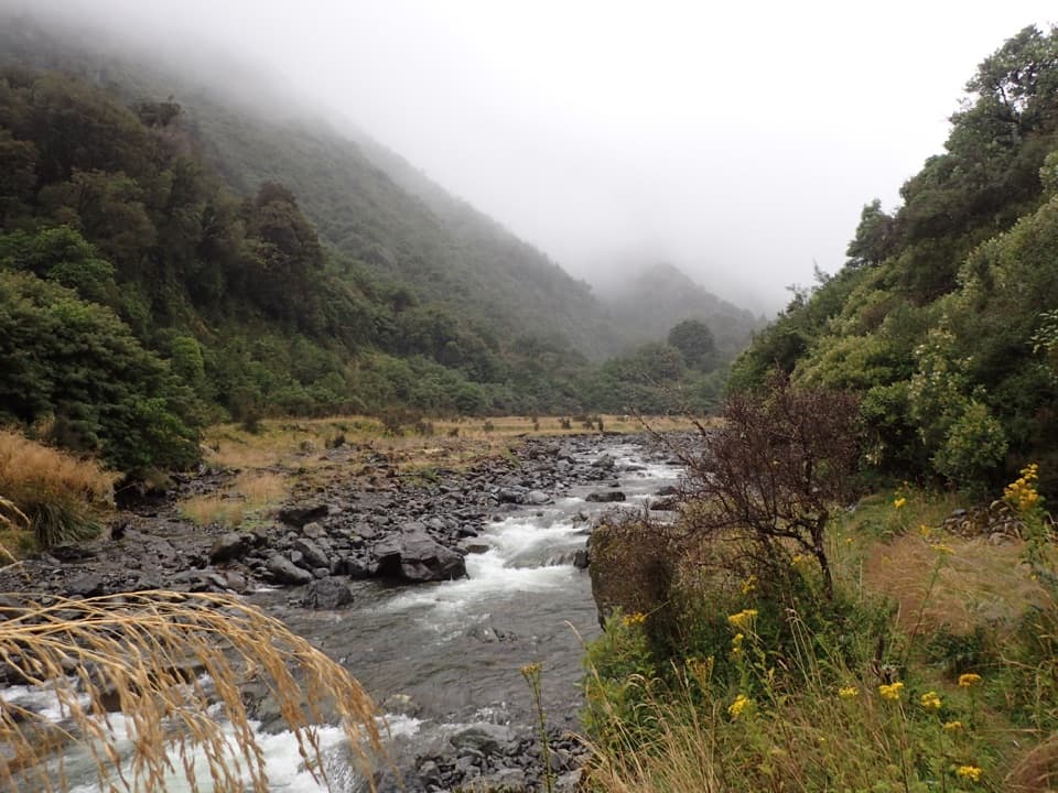 ChallengingHarper Pass Route79 km · 1.2 days · 9.7 km awayA historic alpine crossing with rivers, a high pass and remote huts.
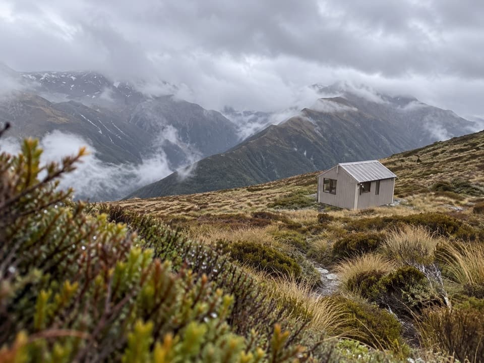 Lodging · 5.8 km awayCarroll HutA historic ski hut above tussock, with open West Coast views.
 Sight · 10.2 km awayŌtira Stagecoach HotelAntiques and old wagons fill this museum-like coach-stop hotel.
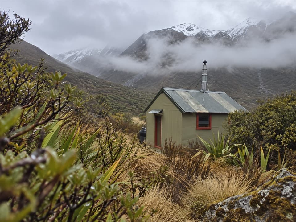 Lodging · 10.5 km awayHunts Creek HutA remote four-bunk hut at the end of a demanding alpine approach.
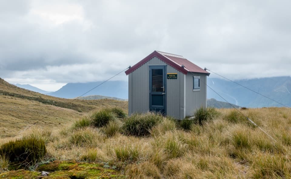 Lodging · 13.9 km awayPfeifer BivvyA remote two-bunk refuge above Lake Kaurapataka.
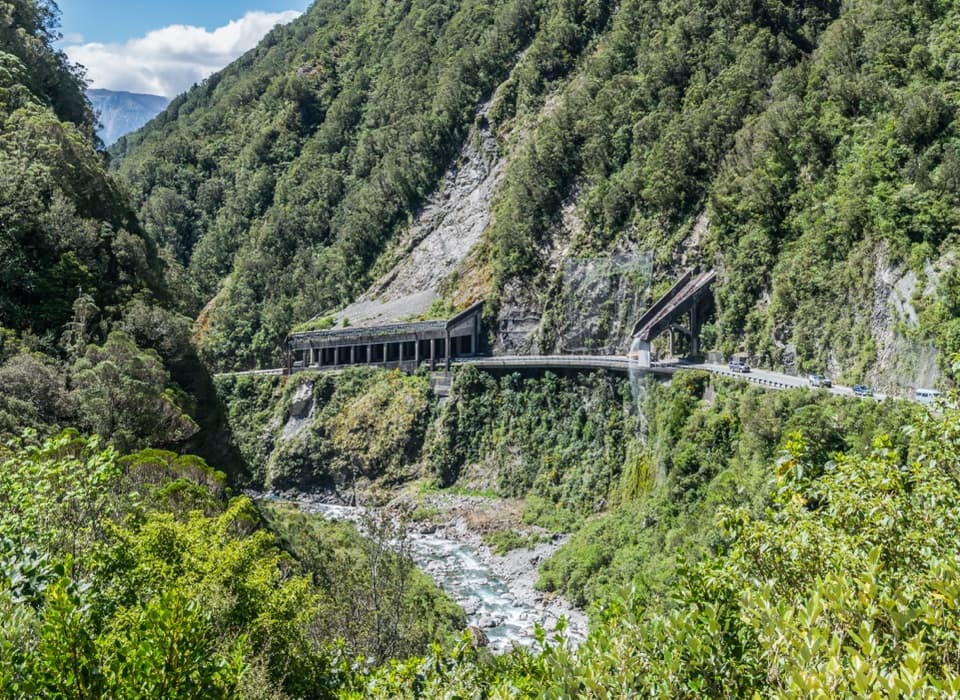 Sight · 15.3 km awayŌtira Gorge Rock Shelter LookoutA quick pull-in for the rockfall shelter and Reid Falls aqueduct.
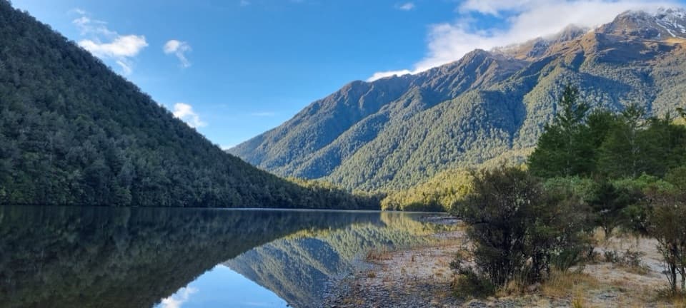 Sight · 15.5 km awayLake KaurapatakaA remote lake worth saving for an overnight walk
Parkwolf’s Arthur's Pass ranking

The audio tour guide for the drive, plus offline maps, trails, and wildlife heatmaps for when the signal drops.





