Parking
The walk starts at the Banff Gondola Upper Terminal. The base parking lot is at the end of Mountain Avenue and is very limited; ride the gondola or hike Sulphur Mountain Trail to reach the summit.

Banff National Park, AB
Ridge views reward 368 shallow stairs each way.
Overview
Map & elevation
Plan your hike

The highest, rockiest slopes around here are a summer buffet for grizzly bears.
Banff Tour Guide
Parkwolf is a GPS audio tour guide for Banff National Park. As you drive, it chimes in with what’s ahead: hidden gems, upcoming stops, history, geology, and wildlife, right through your car’s speakers.
See the Banff audio tourRecorded for this trailhead
Banff Gondola and the Summit Ridge“You're nearing the Banff Gondola, an eight-minute ride up Sulphur Mountain for views over Banff and the Bow Valley. Choose it if you want the height without a summit hike, but cloud can hide the panorama.”
Plays as you drive up to this trailhead in the Parkwolf Banff Tour Guide.
More stories near here in the app
“…Loved the commentary as you drove thru. I’m sure the app can do more than I know but the tips were very helpful. I’m gonna use it when we go to Banff next month.”


Trail guide
Sulphur Mountain Boardwalk is a 0.7-mile (1.1-kilometre) out-and-back from the Banff Gondola Upper Terminal to a natural viewpoint between the Cosmic Ray Station and historic Weather Observatory, then back. Allow about 30 to 45 minutes with stops. The route is short, but it has 368 shallow stairs each way, so it is a better fit for visitors comfortable with repeated steps than for anyone expecting a level promenade.
Reach the trailhead by riding the Banff Gondola or hiking Sulphur Mountain Trail from the base. The gondola base lot is at the end of Mountain Avenue and parking there is very limited. The summit terminal has restaurants, interpretive exhibits and a rooftop viewing deck; those are indoors and separate from the boardwalk. Pets are welcome on outdoor trails, but cannot ride the gondola or enter the terminal, so bring a dog only if you hike up.
Wooden boardwalks and stairs carry you along the open summit ridge. The public route now stops at a natural lookout between the Cosmic Ray Station and the historic Weather Observatory, then returns the same way. The 368 shallow stairs each way rule out wheelchairs, and strollers are not recommended. Mountain weather changes quickly here: the summit can be colder and windier than Banff, with rain or snow arriving even when the valley is warm.
The lookout opens over Banff and the Bow Valley, with Mount Rundle, Cascade Mountain and Tunnel Mountain among the peaks in view. It is a good place to frame the valley with the ridge in the foreground. The nearby Cosmic Ray Station was built in 1956–57 for research on cosmic rays. Sanson Peak carries another local story: Norman Sanson climbed Sulphur Mountain about weekly for 30 years to check the weather, continuing until 1945, when he was 84.
Wildlife
 123 sightingsGrizzly BearMost seen around 6 AMSighting map
 150 sightingsBrown BearMost seen around 6 PMSighting map
 44 sightingsGray WolfMost seen around 6 AMSighting map
 12 sightingsRiver OtterMost seen around 8 PMSighting map
 69 sightingsMooseMost seen around 8 PMSighting map
 466 sightingsBlack BearMost seen around 9 PMSighting map
Sighting maps show where each species has been reported across Banff. Wildlife moves, so no sighting is guaranteed.
Keep exploring
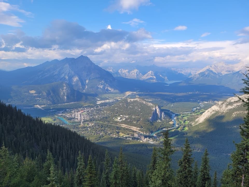 ModerateSulphur Mountain Trail9.6 km · 4 hr · 1.2 km awaySwitchbacks earn a summit panorama over the Bow Valley.
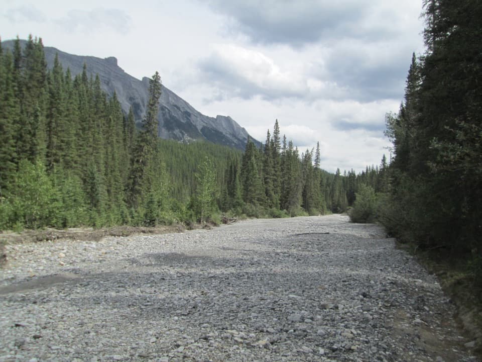 EasySpray River Loop11.3 km · 4 hr · 2.1 km awayA quiet river loop with a covered bridge bench halfway around.
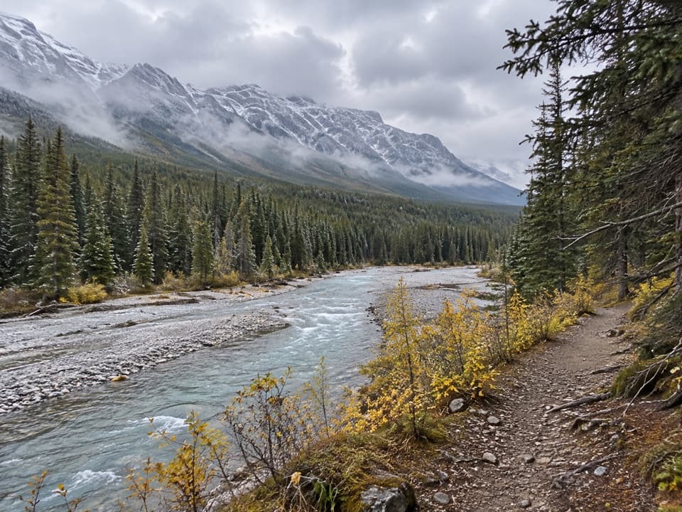 EasySpray River West Trail11.4 km · 3.5 hr · 2.1 km awayAn 11.4 km out-and-back on the Spray River's forested west bank.
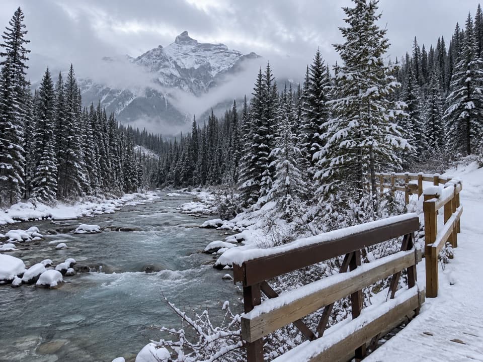 ModerateGoat Creek Trail18.7 km · 6 hr · 2.1 km away18.7 km one way from Banff’s Spray River to Goat Creek.
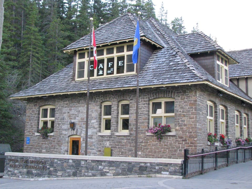 ModerateUpper Hot Springs Trail1.6 km · 30 min · 2.1 km awayA short wooded climb links the hotel to the hot-springs pool.
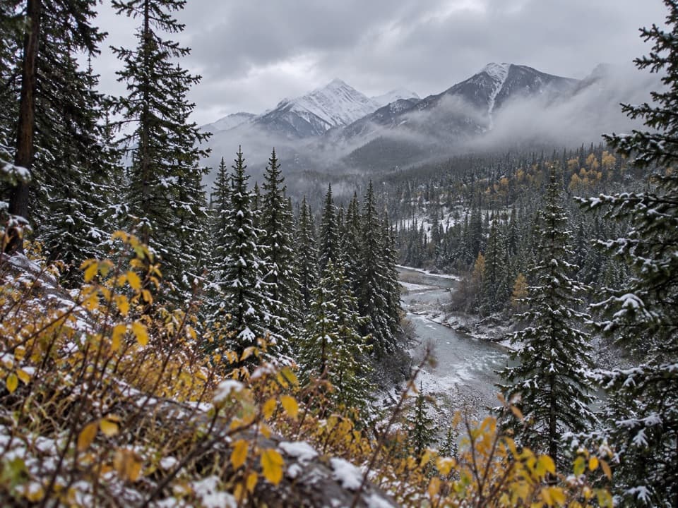 ChallengingSundance Pass Trail12 km · 6 hr · 2.5 km awayA forested pass route ends with a rough creek descent.
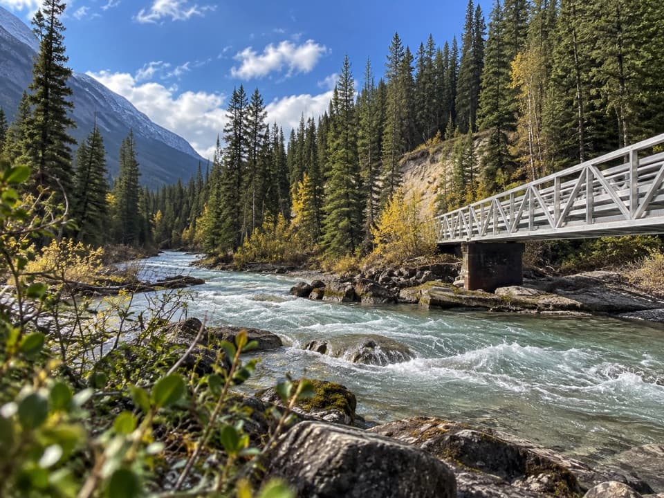 ModerateSpray River East Trail11.2 km · 3.5 hr · 2.7 km awayA rolling forest track follows the river to its bridge.
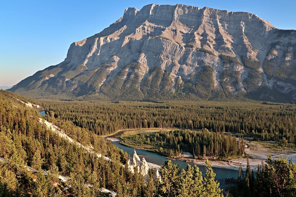 ModerateSurprise Corner to Hoodoos Trail8.9 km · 3 hr · 2.8 km awayA forested Bow River walk ends among pale hoodoos.Sight · 1.2 km awayBanff Upper Hot SpringsA hot soak beneath the jagged peaks of Rundle and Cascade.
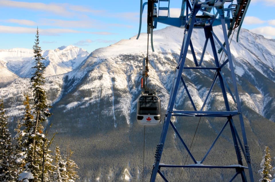 Sight · 1.4 km awayBanff GondolaEight minutes up, then six ranges in every direction.
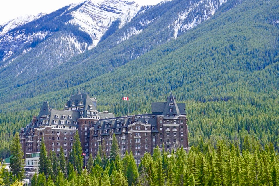 Sight · 2.3 km awayFairmont Banff SpringsA castle-style hotel welcoming guests since 1888.
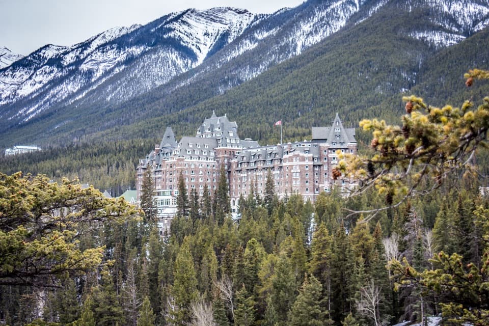 Sight · 2.8 km awaySurprise CornerA raised platform looks onto Banff's grand hotel and forested mountains.
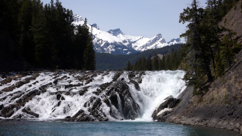 Sight · 2.8 km awayBow FallsA broad, booming cascade beside Banff Springs.
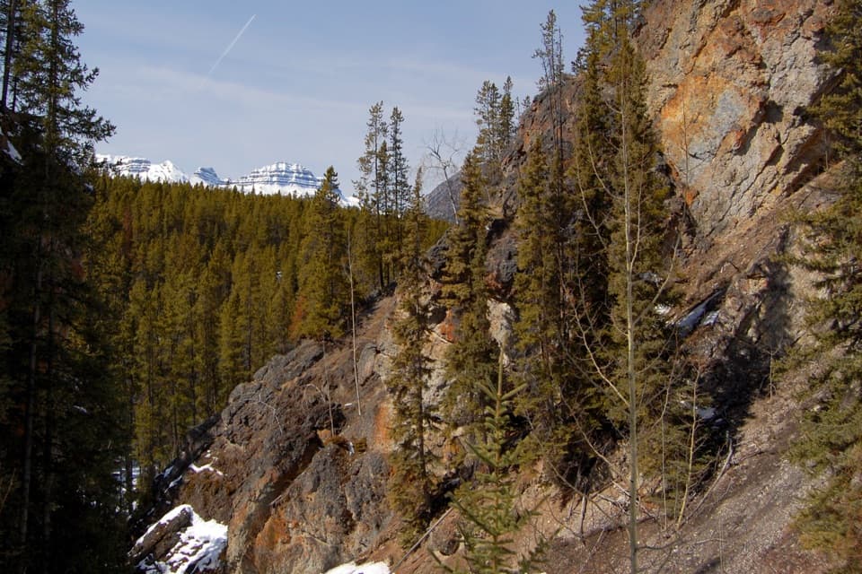 Sight · 2.9 km awaySundance CanyonA tight gorge and small waterfall reward the long approach.
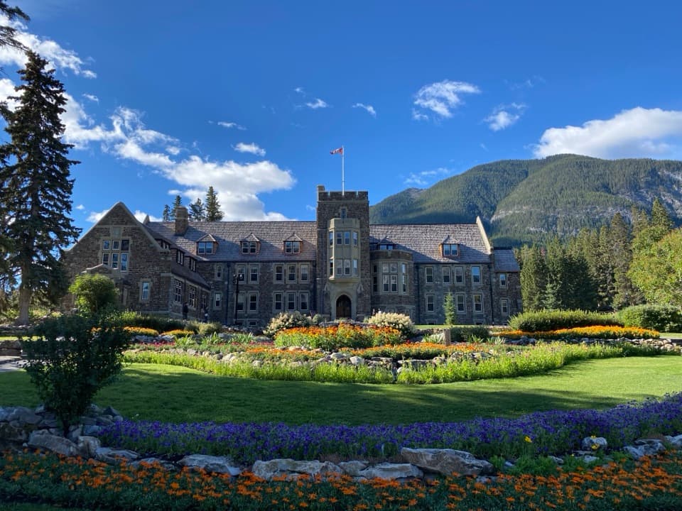 Sight · 2.9 km awayCascade of Time GardensA garden pause with terraces, flowers and small waterfalls.
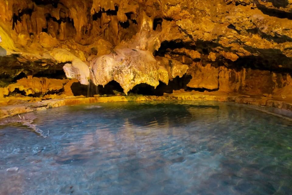 Sight · 3 km awayCave and Basin National Historic SiteA cave, warm springs, and the start of Canada's national parks.
Parkwolf’s Banff ranking

The audio tour guide for the drive, plus offline maps, trails, and wildlife heatmaps for when the signal drops.





