Parking
Use the Banff Upper Hot Springs parking area, the primary trailhead. Summer parking is limited; Roam Route 1 serves the area year-round.
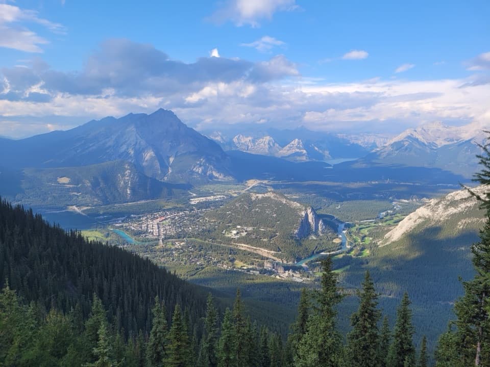
Banff National Park, AB
Switchbacks earn a summit panorama over the Bow Valley.
Overview
Sulphur Mountain Trail is a steep out-and-back from Banff Upper Hot Springs to the Banff Gondola upper terminal. The mapped mountain path is 4.8 km one way, or 9.6 km round trip, and takes about four hours, with roughly 655 m of climbing. This is a climb-first hike: a long run of switchbacks leads through forest to a broad view over Banff and the Bow Valley. Choose it for a sustained workout and a high summit panorama, rather than a series of lookouts on the way up.
 Parkwolf’s verdictThe climb and the payoff
Map & elevation
Plan your hike

The highest, rockiest slopes around here are a summer buffet for grizzly bears.
Banff Tour Guide
Parkwolf is a GPS audio tour guide for Banff National Park. As you drive, it chimes in with what’s ahead: hidden gems, upcoming stops, history, geology, and wildlife, right through your car’s speakers.
See the Banff audio tourRecorded for this trailhead
Banff Upper Hot Springs: A Soak or a Climb“Up ahead are Banff Upper Hot Springs, an outdoor mineral pool with mountain views and a heritage bathhouse. Choose this for a soak, and allow an hour or two.”
Plays as you drive up to this trailhead in the Parkwolf Banff Tour Guide.
More stories near here in the app
“…Loved the commentary as you drove thru. I’m sure the app can do more than I know but the tips were very helpful. I’m gonna use it when we go to Banff next month.”


Trail guide
The trailhead is at the Banff Upper Hot Springs parking area. Summer parking is limited, and Roam Route 1 serves the area year-round. In summer, dogs may hike this route on leash and under physical control; check the trail report for exceptions. The route is open year-round, but snow and ice change the footing in winter. Microspikes or crampons are recommended then.
The dirt footpath climbs the wooded mountainside in repeated turns. Light-to-moderate tree cover leaves occasional glimpses toward the valley, but much of the lower ascent feels enclosed and offers little outward view. That long stretch without a big payoff can feel repetitive. Gondola cables and towers appear above the trees as the path gains height. Save your energy for the steady climb and remember that you return down the same steep route.
The mapped hike ends at the gondola's upper terminal, a developed summit complex with a 360-degree rooftop observation deck, exhibits, cafés and restaurants. The top can be busy even after a quiet climb because gondola riders arrive there too. The gondola offers a way to reach the same broad view without hiking; food service is at the summit, not along the switchbacks.
From the terminal, a self-guided boardwalk continues to Sanson's Peak and the Cosmic Ray Station National Historic Site. That is an optional summit-area walk and is not included in the 9.6 km hiking distance. The South East Ridge Trail is another, more adventurous route toward Sulphur Mountain's true summit; it is a separate hike, not an extension of this mapped line.
At Sanson's Peak, the summit boardwalk reaches the Cosmic Ray Station National Historic Site. Norman Sanson climbed to the summit about once a week for 30 years to check the weather, continuing until 1945, when he was 84. Nearby, the exposed ridge holds the small stone Sulphur Mountain Weather Station, also known as the observatory. The boardwalk gives you a closer look at the mountain's scientific history after the climb.
Start early for a quieter climb, though the gondola terminal may still be crowded. From the summit ridge, frame Banff and the Bow Valley together to show how the town sits beneath the surrounding peaks. The return is quicker than the climb for many hikers, but the steep downhill can bother knees, so take it slowly. In winter, check trail conditions and bring traction for ice.
Wildlife
 123 sightingsGrizzly BearMost seen around 6 AMSighting map
 150 sightingsBrown BearMost seen around 6 PMSighting map
 44 sightingsGray WolfMost seen around 6 AMSighting map
 12 sightingsRiver OtterMost seen around 8 PMSighting map
 69 sightingsMooseMost seen around 8 PMSighting map
 466 sightingsBlack BearMost seen around 9 PMSighting map
Sighting maps show where each species has been reported across Banff. Wildlife moves, so no sighting is guaranteed.
Keep exploring
 EasySulphur Mountain Boardwalk1.1 km · 36 min · 1.2 km awayRidge views reward 368 shallow stairs each way.
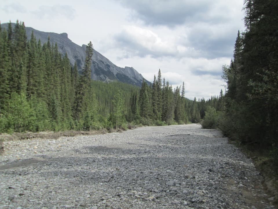 EasySpray River Loop11.3 km · 4 hr · 1.3 km awayA quiet river loop with a covered bridge bench halfway around.
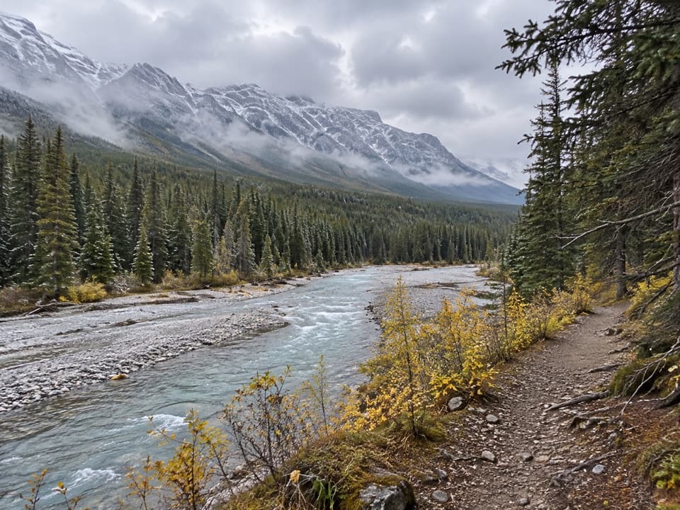 EasySpray River West Trail11.4 km · 3.5 hr · 1.3 km awayAn 11.4 km out-and-back on the Spray River's forested west bank.
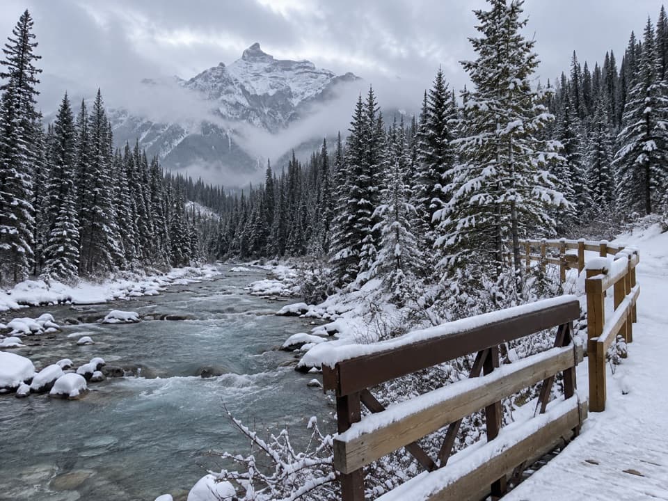 ModerateGoat Creek Trail18.7 km · 6 hr · 1.3 km away18.7 km one way from Banff’s Spray River to Goat Creek.
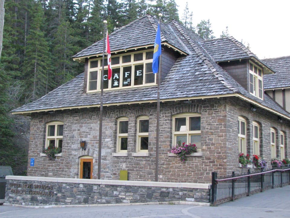 ModerateUpper Hot Springs Trail1.6 km · 30 min · 1.4 km awayA short wooded climb links the hotel to the hot-springs pool.
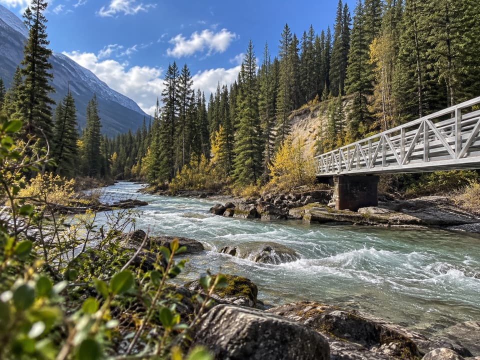 ModerateSpray River East Trail11.2 km · 3.5 hr · 1.8 km awayA rolling forest track follows the river to its bridge.
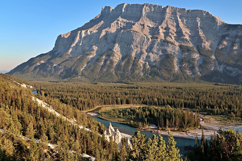 ModerateSurprise Corner to Hoodoos Trail8.9 km · 3 hr · 2 km awayA forested Bow River walk ends among pale hoodoos.
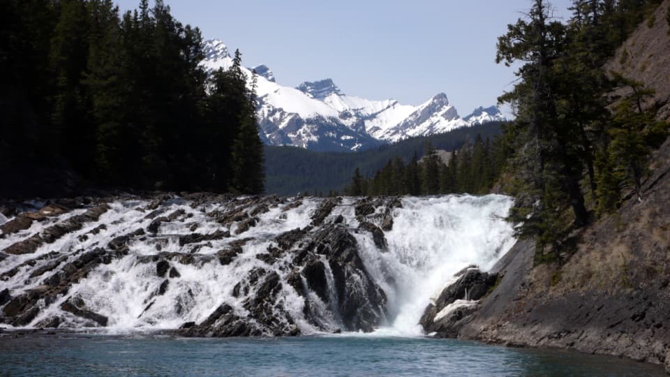 EasyBow Falls Trail2.4 km · 54 min · 2.7 km awayFind roaring rapids below, then climb to viewpoints above the falls.Sight · 0.2 km awayBanff Upper Hot SpringsA hot soak beneath the jagged peaks of Rundle and Cascade.
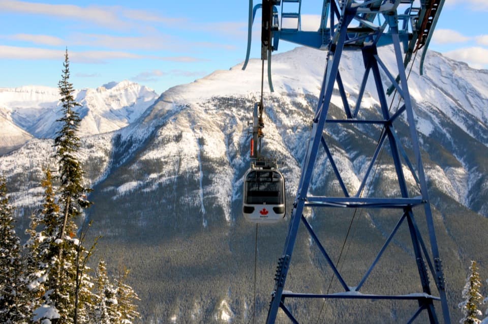 Sight · 0.3 km awayBanff GondolaEight minutes up, then six ranges in every direction.
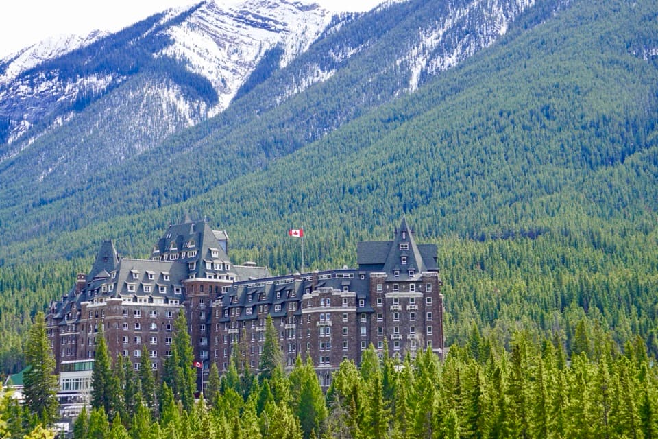 Sight · 1.6 km awayFairmont Banff SpringsA castle-style hotel welcoming guests since 1888.
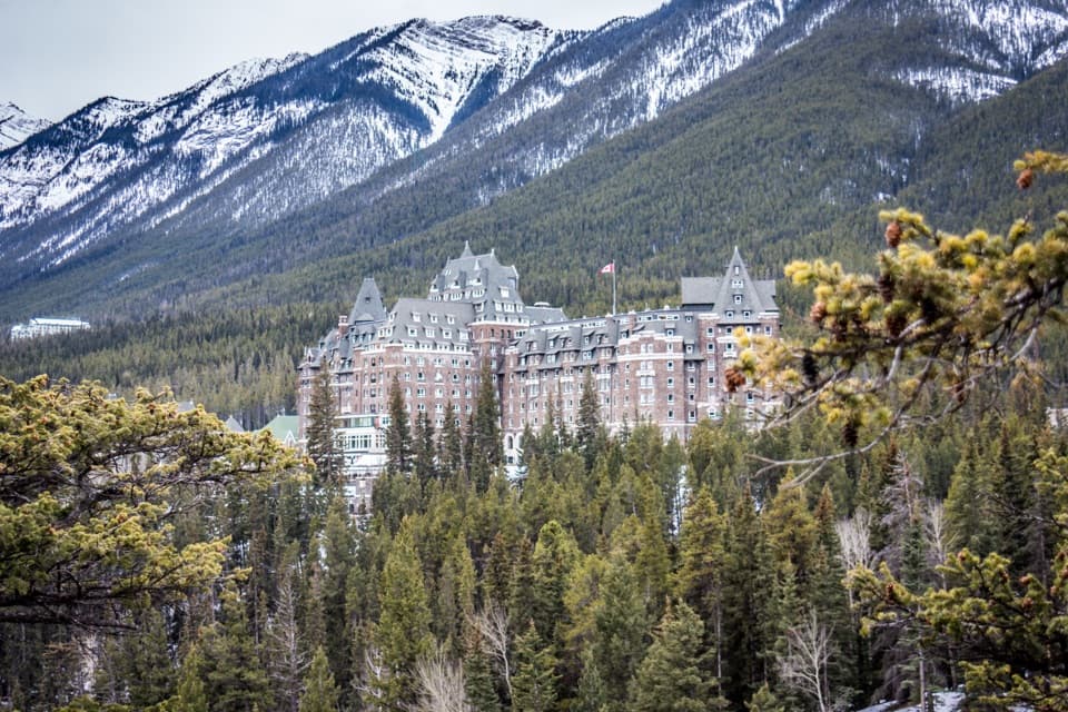 Sight · 2 km awaySurprise CornerA raised platform looks onto Banff's grand hotel and forested mountains.Sight · 2.1 km awayBow FallsA broad, booming cascade beside Banff Springs.
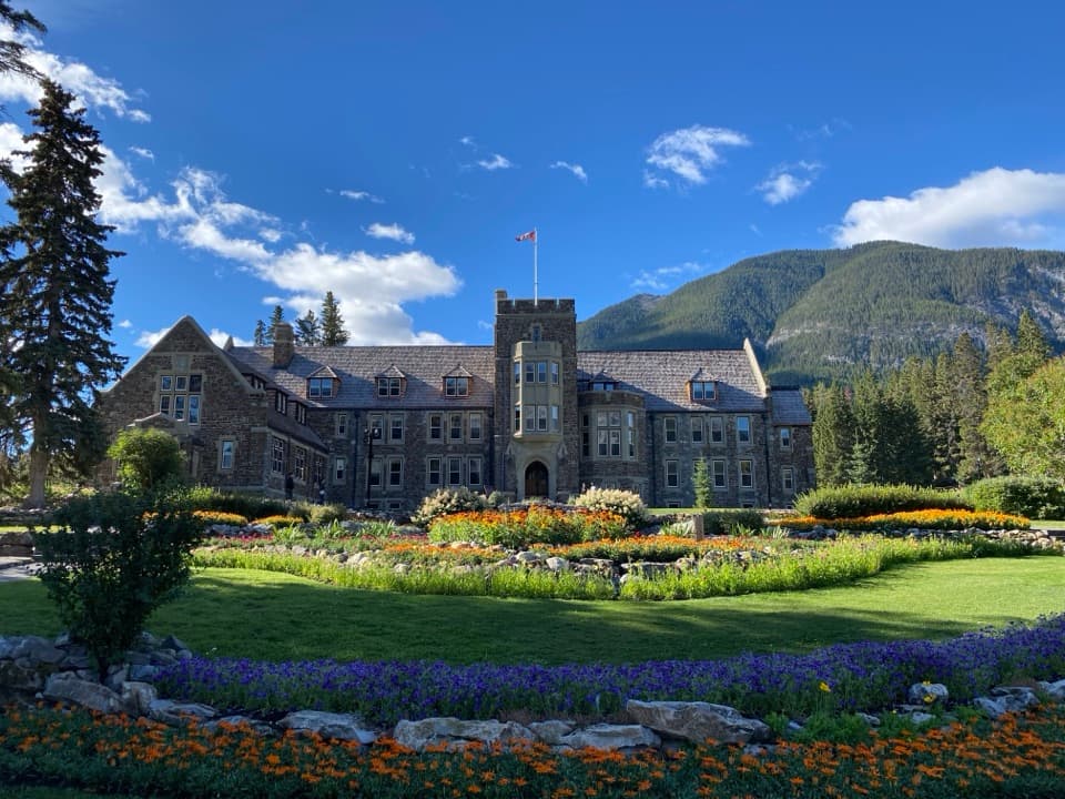 Sight · 2.5 km awayCascade of Time GardensA garden pause with terraces, flowers and small waterfalls.
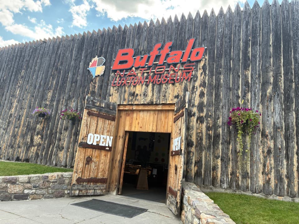 Sight · 2.7 km awayBuffalo Nations MuseumA compact museum for First Nations histories and art in the Rockies.
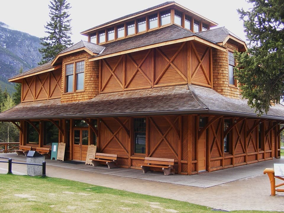 Sight · 2.8 km awayBanff Park Museum National Historic SiteA timber “railway pagoda” packed with vintage wildlife specimens.
Parkwolf’s Banff ranking
The audio tour guide for the drive, plus offline maps, trails, and wildlife heatmaps for when the signal drops.





