Parking
Use the Spray River West Trailhead surface lot behind Fairmont Banff Springs at the end of Spray Avenue.
Banff National Park, AB
A quiet river loop with a covered bridge bench halfway around.
Overview
Map & elevation
Plan your hike

The highest, rockiest slopes around here are a summer buffet for grizzly bears.
Banff Tour Guide
Parkwolf is a GPS audio tour guide for Banff National Park. As you drive, it chimes in with what’s ahead: hidden gems, upcoming stops, history, geology, and wildlife, right through your car’s speakers.
See the Banff audio tourRecorded for this trailhead
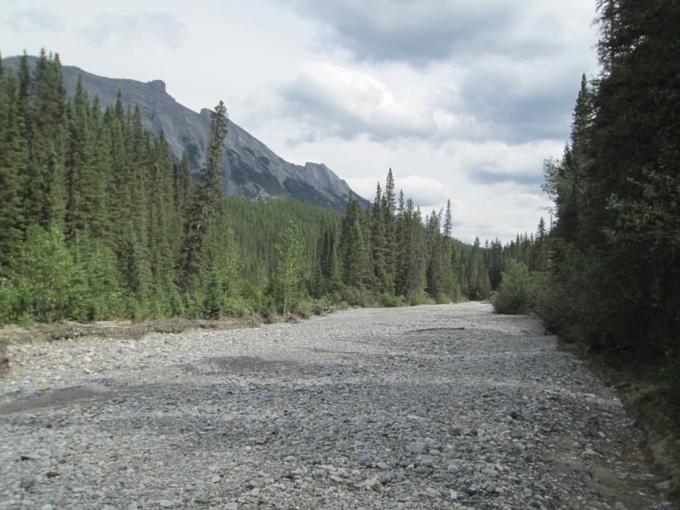
Spray River West: A Valley Walk to the Bridge“You're nearing Spray River West trailhead, where a wide gravel track follows the forested river valley.”
Plays as you drive up to this trailhead in the Parkwolf Banff Tour Guide.
More stories near here in the app
“…Loved the commentary as you drove thru. I’m sure the app can do more than I know but the tips were very helpful. I’m gonna use it when we go to Banff next month.”


Trail guide
Spray River Loop is an 11.3 km loop from the Spray River West access behind Banff Springs. It follows the river valley to the main bridge, crosses to the narrower east bank and turns back over a smaller bridge. Allow about four hours. The grade is mostly gentle and rolling; this is a half-day for river, forest and occasional Mount Rundle views, rather than a summit hike.
The west side is a winding gravel double track through trees beside the rushing Spray River. The covered bench at the main bridge is a natural halfway break, with a riverbank picnic spot nearby. From the crossing, frame the river and Mount Rundle together to show the valley instead of filling the shot with trees.
After crossing to the east side, follow the narrower track past the backcountry campground. About 4.7 km beyond the main bridge, take the right at the small bridge to reconnect with the start. Continuing straight heads toward Banff Springs Golf Course and makes a longer outing. Expect cyclists and horses on the shared corridor, especially on the narrower return.
Use the Spray River West Trailhead parking area behind Fairmont Banff Springs at the end of Spray Avenue. Dogs are allowed on leash. Carry your own drinking water; no water stop is identified along the loop. The appeal is a long, wooded walk beside the river, with fewer open mountain views than Banff’s higher trails.
Wildlife
 123 sightingsGrizzly BearMost seen around 6 AMSighting map
 150 sightingsBrown BearMost seen around 6 PMSighting map
 44 sightingsGray WolfMost seen around 6 AMSighting map
 12 sightingsRiver OtterMost seen around 8 PMSighting map
 69 sightingsMooseMost seen around 8 PMSighting map
 466 sightingsBlack BearMost seen around 9 PMSighting map
Sighting maps show where each species has been reported across Banff. Wildlife moves, so no sighting is guaranteed.
Keep exploring
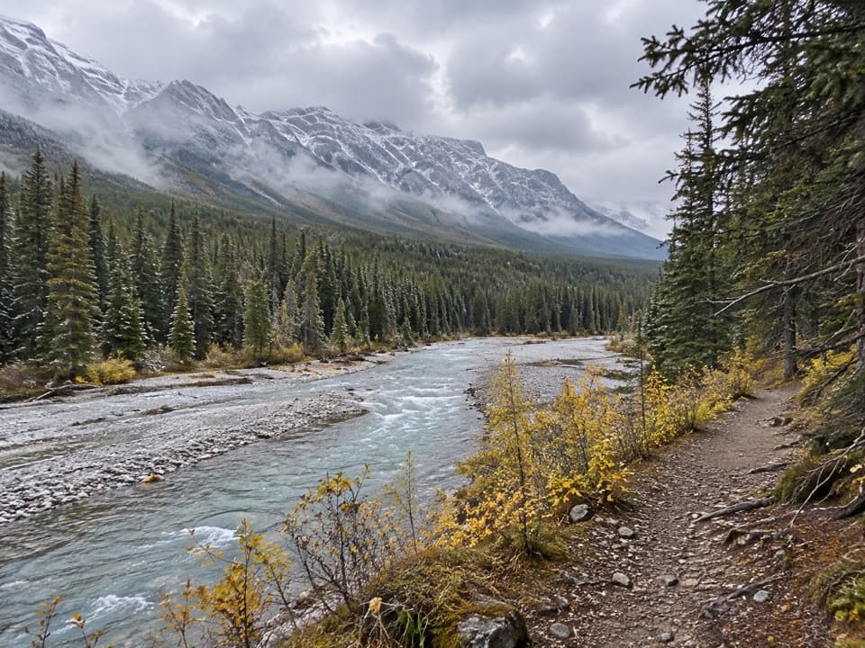 EasySpray River West Trail11.4 km · 3.5 hr · At the trailheadAn 11.4 km out-and-back on the Spray River's forested west bank.
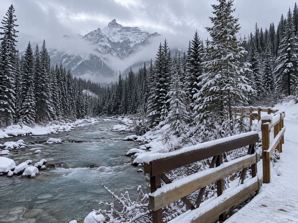 ModerateGoat Creek Trail18.7 km · 6 hr · At the trailhead18.7 km one way from Banff’s Spray River to Goat Creek.
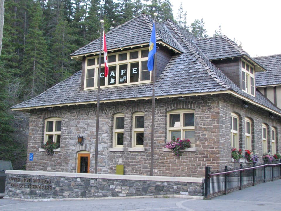 ModerateUpper Hot Springs Trail1.6 km · 30 min · 0.3 km awayA short wooded climb links the hotel to the hot-springs pool.
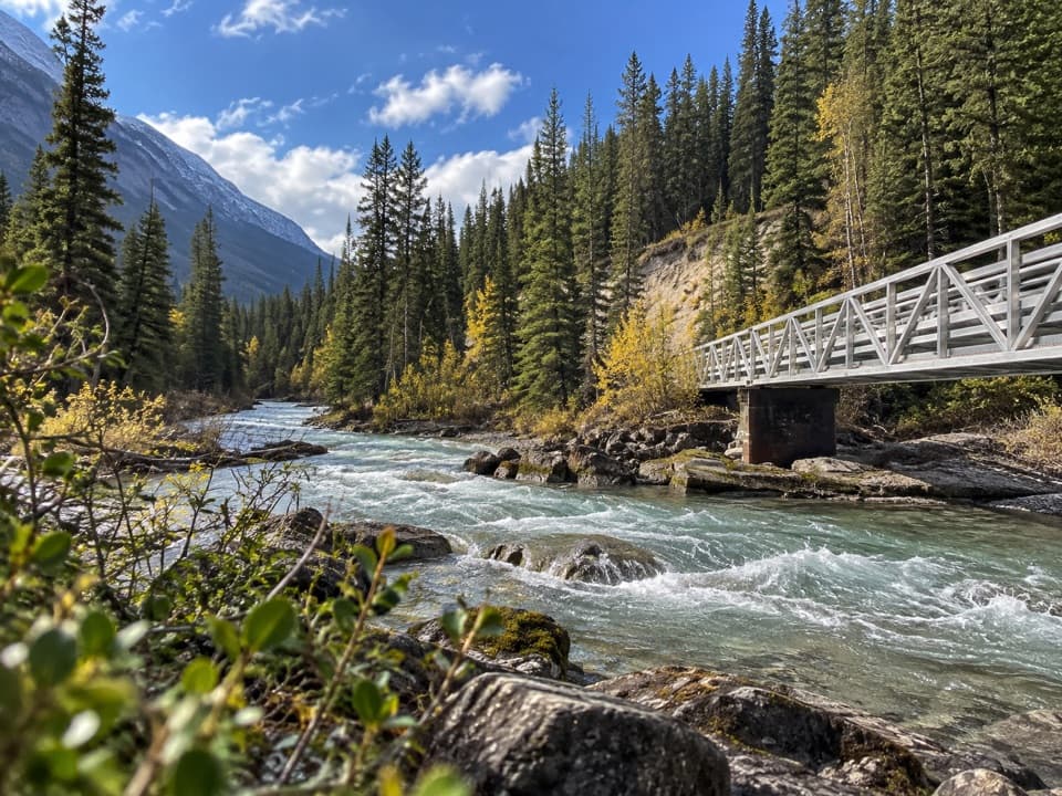 ModerateSpray River East Trail11.2 km · 3.5 hr · 0.6 km awayA rolling forest track follows the river to its bridge.
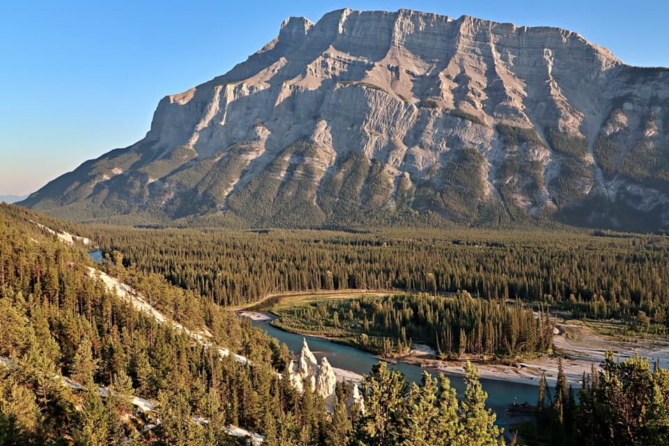 ModerateSurprise Corner to Hoodoos Trail8.9 km · 3 hr · 0.8 km awayA forested Bow River walk ends among pale hoodoos.
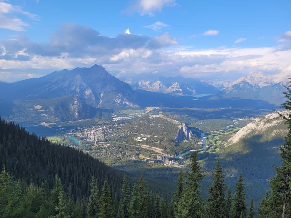 ModerateSulphur Mountain Trail9.6 km · 4 hr · 1.3 km awaySwitchbacks earn a summit panorama over the Bow Valley.
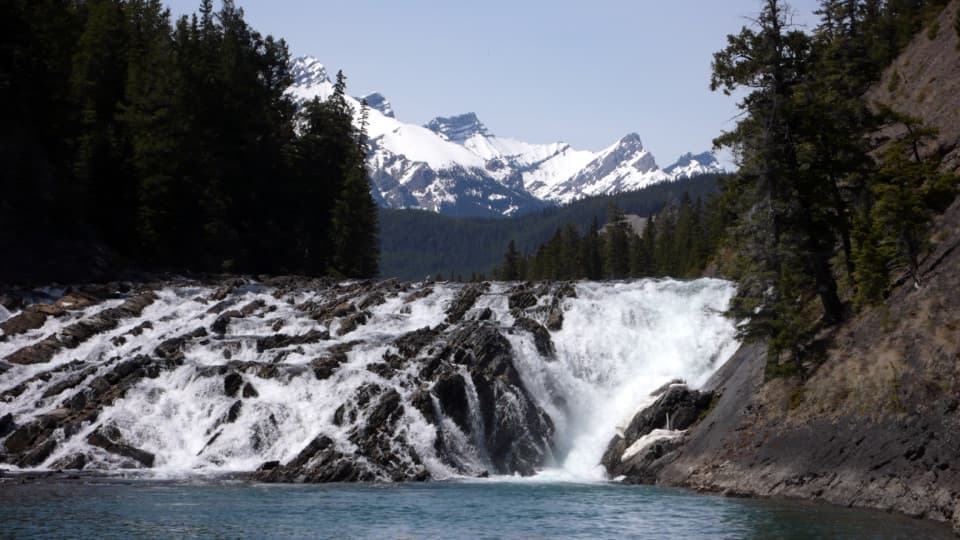 EasyBow Falls Trail2.4 km · 54 min · 1.5 km awayFind roaring rapids below, then climb to viewpoints above the falls.
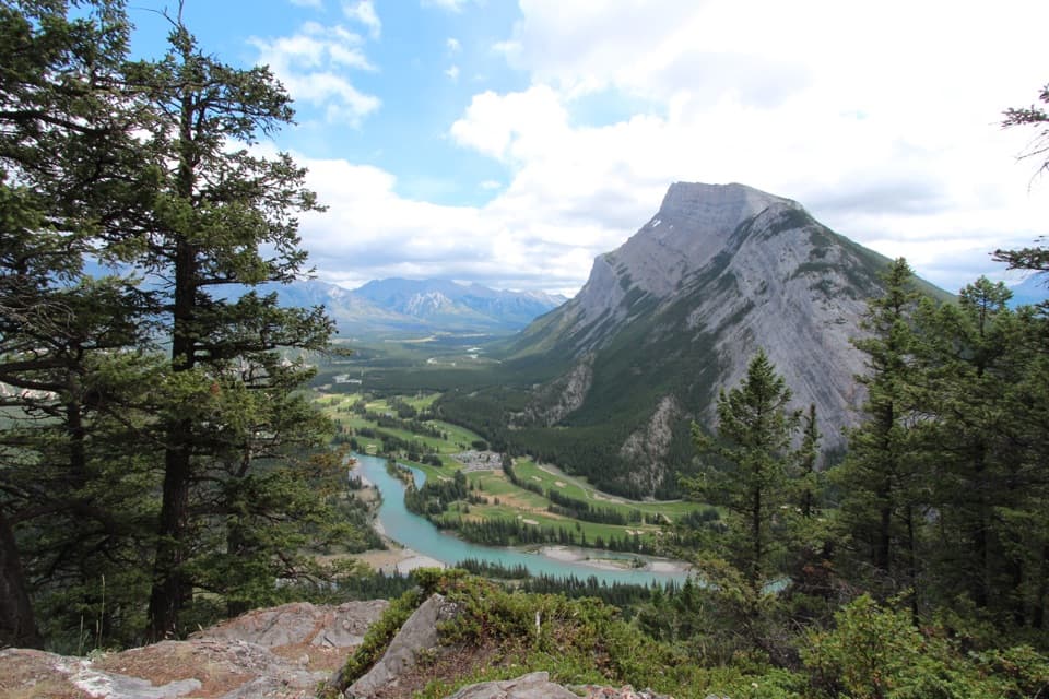 ModerateTunnel Mountain Summit Trail4.6 km · 2 hr · 1.6 km awayA short, steady climb to a wide view over Banff.
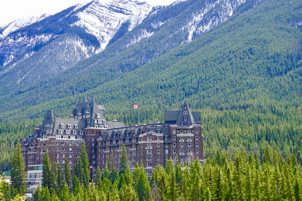 Sight · 0.4 km awayFairmont Banff SpringsA castle-style hotel welcoming guests since 1888.
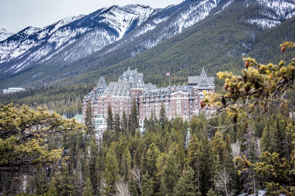 Sight · 0.8 km awaySurprise CornerA raised platform looks onto Banff's grand hotel and forested mountains.Sight · 0.8 km awayBow FallsA broad, booming cascade beside Banff Springs.Sight · 1.1 km awayBanff Upper Hot SpringsA hot soak beneath the jagged peaks of Rundle and Cascade.
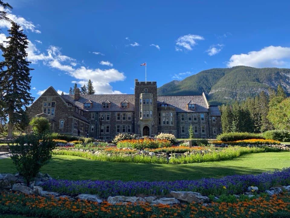 Sight · 1.4 km awayCascade of Time GardensA garden pause with terraces, flowers and small waterfalls.
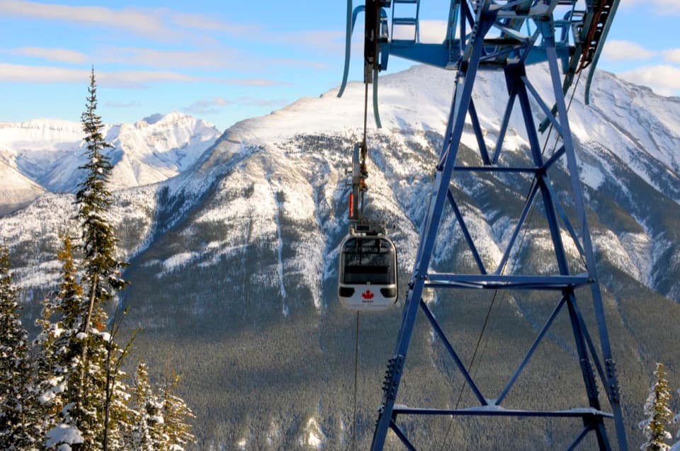 Sight · 1.5 km awayBanff GondolaEight minutes up, then six ranges in every direction.
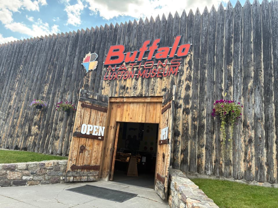 Sight · 1.6 km awayBuffalo Nations MuseumA compact museum for First Nations histories and art in the Rockies.
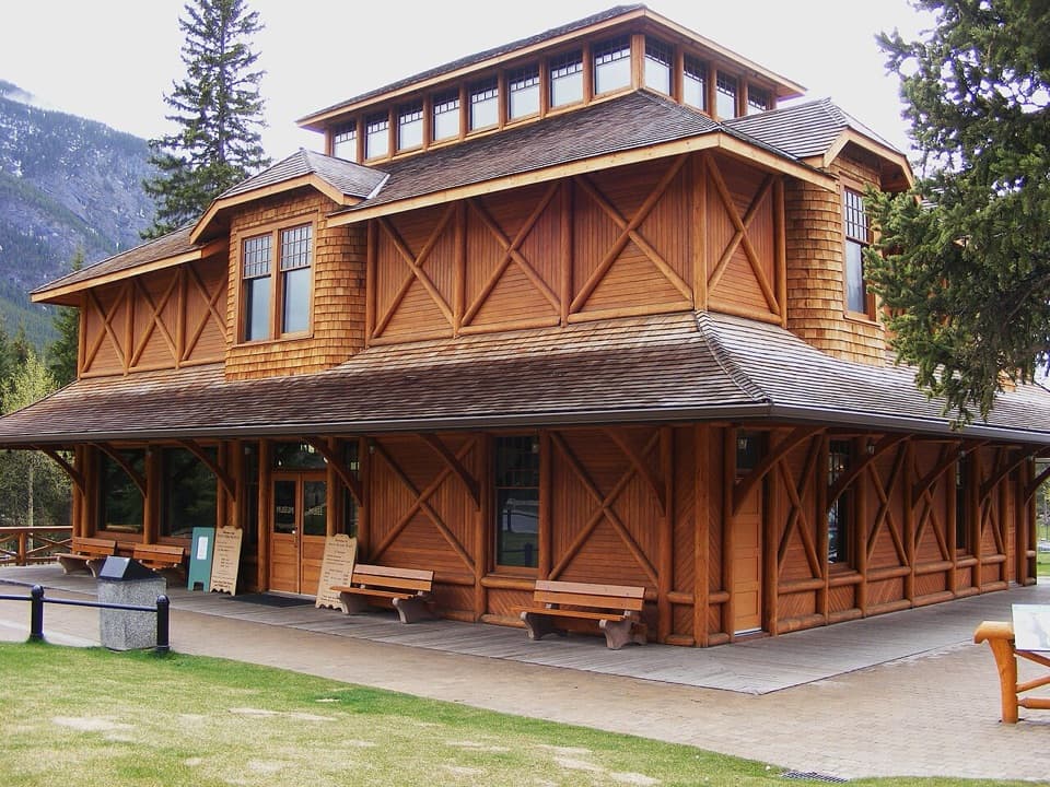 Sight · 1.7 km awayBanff Park Museum National Historic SiteA timber “railway pagoda” packed with vintage wildlife specimens.
Parkwolf’s Banff ranking

The audio tour guide for the drive, plus offline maps, trails, and wildlife heatmaps for when the signal drops.