Parking
Use the municipal Königssee car park on Seestraße; it is about a five-minute walk to the Seelände pier. Salet has no road access, so take the passenger boat.
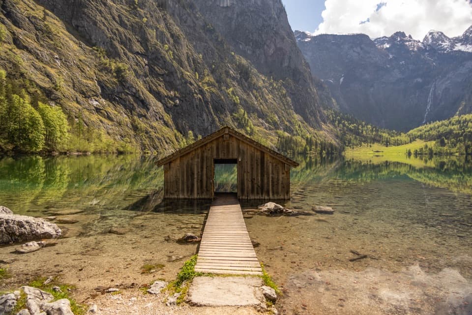
Berchtesgaden National Park, BY
A gentle lakeside walk ends at Obersee’s little boathouse.
Overview
Map & elevation
Plan your hike

The highest, rockiest slopes around here are a summer buffet for grizzly bears.
Berchtesgaden Tour Guide
Parkwolf is a GPS audio tour guide for Berchtesgaden National Park. As you drive, it chimes in with what’s ahead: hidden gems, upcoming stops, history, geology, and wildlife, right through your car’s speakers.
More stories near here in the app
“Fantastic app with many points of information… It’s great to just turn on while you’re driving and it gives you an audio tour of the national Park. We love it!!!!”


Trail guide
This is the easy, 2 km (1.24-mile) out-and-back from Salet boat landing to Obersee’s west shore and back. The mostly gentle gravel path crosses a cattle gate and wooden bridge, passes through a short boulder-studded woodland stretch and finishes beside a little boathouse and dock. Allow about one hour on foot; the route has roughly 13 m (43 ft) of ascent. That time is for the walk alone, not the boat transfer.
On land, the path is described as a good, slightly rising gravel route suitable for wheelchair users. Getting to it involves a boat: boarding requires three steps down across a narrow gap, and the boat can rock. Electric wheelchairs cannot be carried; manual wheelchairs can be brought aboard, and a limited number can be borrowed at the ticket office. Check with the operator if you need boarding help, and ask about the gate and bridge if your chair needs extra clearance.
From the Salet landing, Saletalm is just a few steps away. The path then crosses the gate and wooden bridge and threads through a short dense stand of forest among mossy boulders. It opens at Obersee’s west shore, beside a small boathouse and dock, with benches along the way. Turn around here for the accessible return. The path continues toward Fischunkelalm, but that separate stretch climbs steeply over steps and rocks.
The payoff is the view across clear Obersee to the mountains beyond it. The big boulders between Königssee and Obersee came from a rockfall in 1172, a striking bit of geology on a very short walk. For a photo, include the boathouse walkway in the foreground with the lake and cliffs behind; it makes this view unmistakably Obersee.
Use the municipal Königssee car park on Seestraße, about a five-minute walk from the Seelände boat pier. Salet is reached by boat, about 50 minutes each way, and the boat ride is separate from the one-hour walk. Service to Salet runs only around mid-April to mid-October, so check the current timetable and leave enough time for the return. Allow roughly two extra hours for the boat round trip, plus any wait. Saletalm restaurant is beside the landing, and an accessible restroom is in the waiting room. Dogs must be leashed in the park and muzzled on the boat.
Wildlife
 14 sightingsBearded VultureMost seen around noonSighting map
 29 sightingsGolden EagleMost seen around noonSighting map
 22 sightingsRed DeerMost seen around 6 PMSighting map
 131 sightingsAlpine ChamoisMost seen around 5 PMSighting map
 65 sightingsAlpine SalamanderMost seen around 11 AMSighting map
 63 sightingsAlpine MarmotMost seen around 9 AMSighting map
Sighting maps show where each species has been reported across Berchtesgaden. Wildlife moves, so no sighting is guaranteed.
Keep exploring
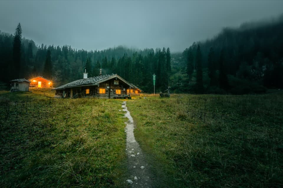 ChallengingWasseralm via Röthsteig13 km · 6.5 hr · At the trailheadA hard climb to a hut meadow above Obersee.
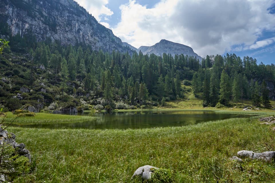 ChallengingHalsköpfl – Wasseralm-Runde17.2 km · 8.5 hr · At the trailheadA long alpine circuit with a broad view over Königssee
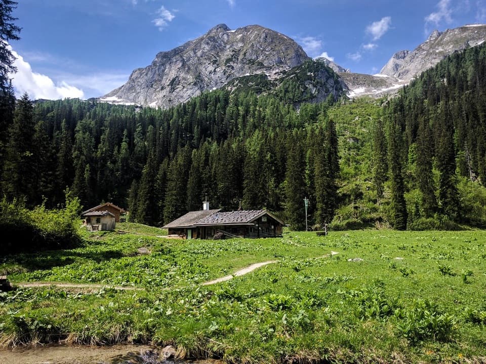 ChallengingWasseralm via Landtalsteig16.7 km · 7 hr · At the trailheadA steep, boat-served 10.4-mile climb to Wasseralm and back.
 ModerateObersee – Fischunkelalm – Röthbachfall8 km · 3.5 hr · At the trailheadA rocky lakeshore walk to a meadow beneath Germany’s highest waterfall.
 ChallengingGroßes Teufelshorn via Wasseralm21.5 km · 10 hr · At the trailheadA remote, boat-accessed summit climb with exposed, cable-secured passages
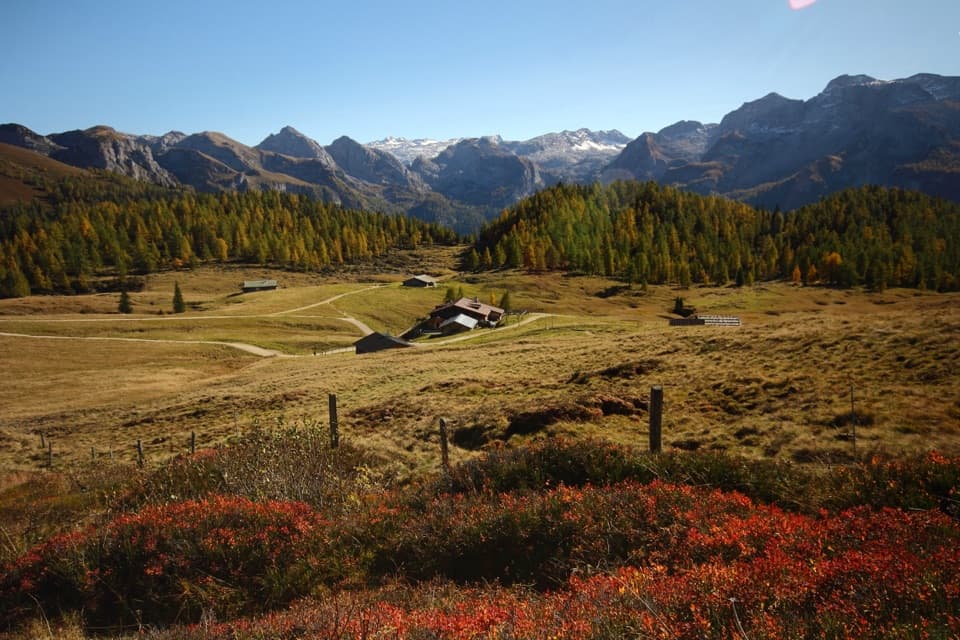 ChallengingGotzenalm via Kaunersteig15.8 km · 8 hr · At the trailheadA steep climb earns a balcony over Königssee.
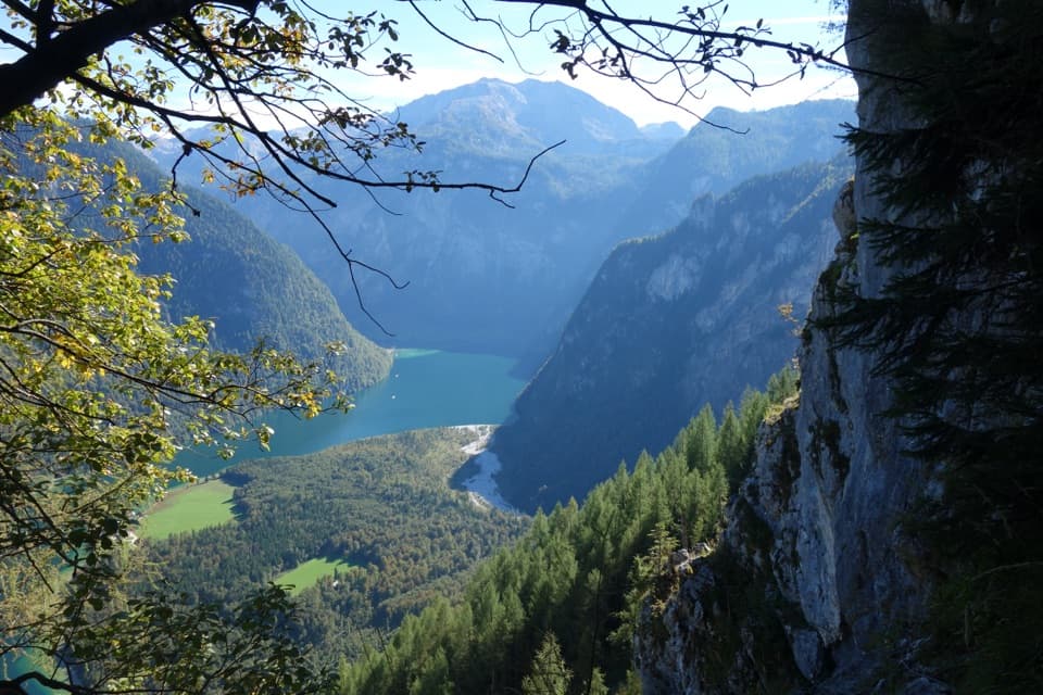 ChallengingRinnkendlsteig11 km · 6 hr · 2 km awayA steep, exposed climb with a high view over Königssee.
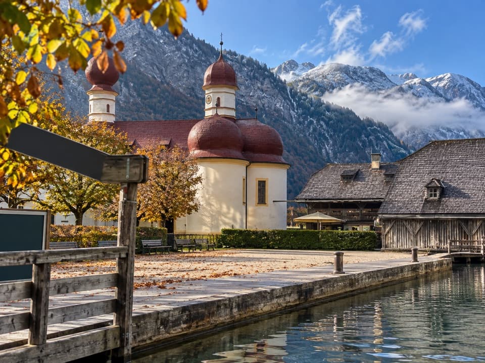 EasySt. Bartholomä-Rundweg1.9 km · 1 hr · 2.1 km awayA gentle loop links the lakeshore, woodland and red-domed church.
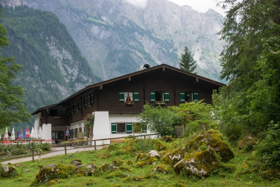 Restaurant · 0.3 km awaySaletalmLunch before the Obersee walk, with a beer garden under limestone cliffs.
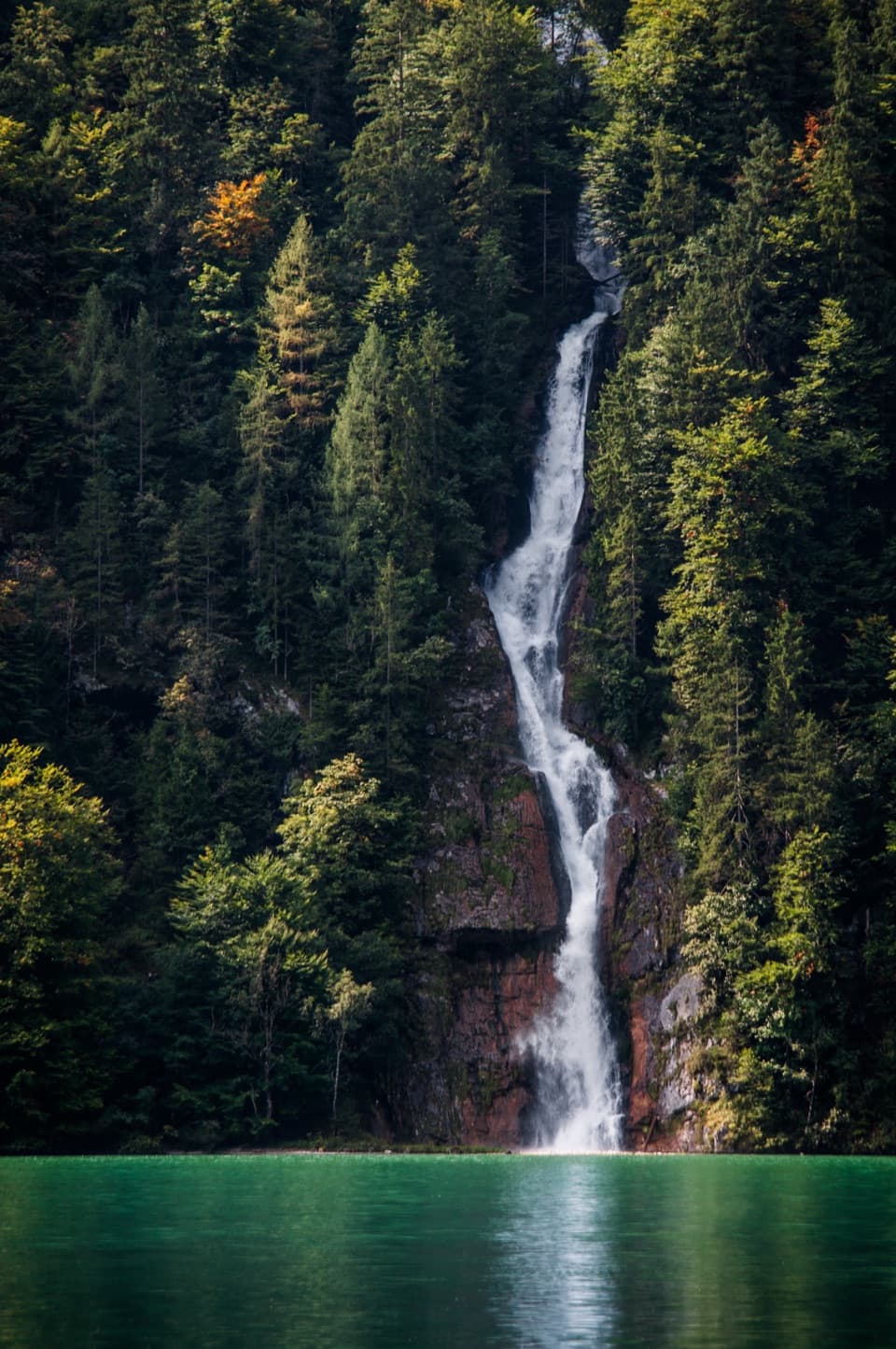 Sight · 1 km awaySchrainbach WaterfallA 30-minute walk from St. Bartholomä reaches the 80-meter falls.Sight · 1.3 km awayOberseeAn emerald lake with a mountain wall and waterfall behind it.
 Food · 2.2 km awayFischerei St. BartholomäA boat-trip stop for smoked fish with a long local history.
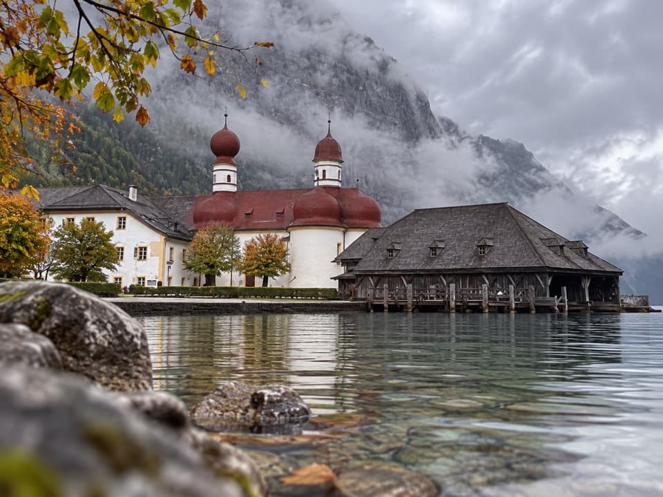 Restaurant · 2.2 km awayGaststätte St. BartholomäBavarian beer in a former royal hunting lodge on Königssee.
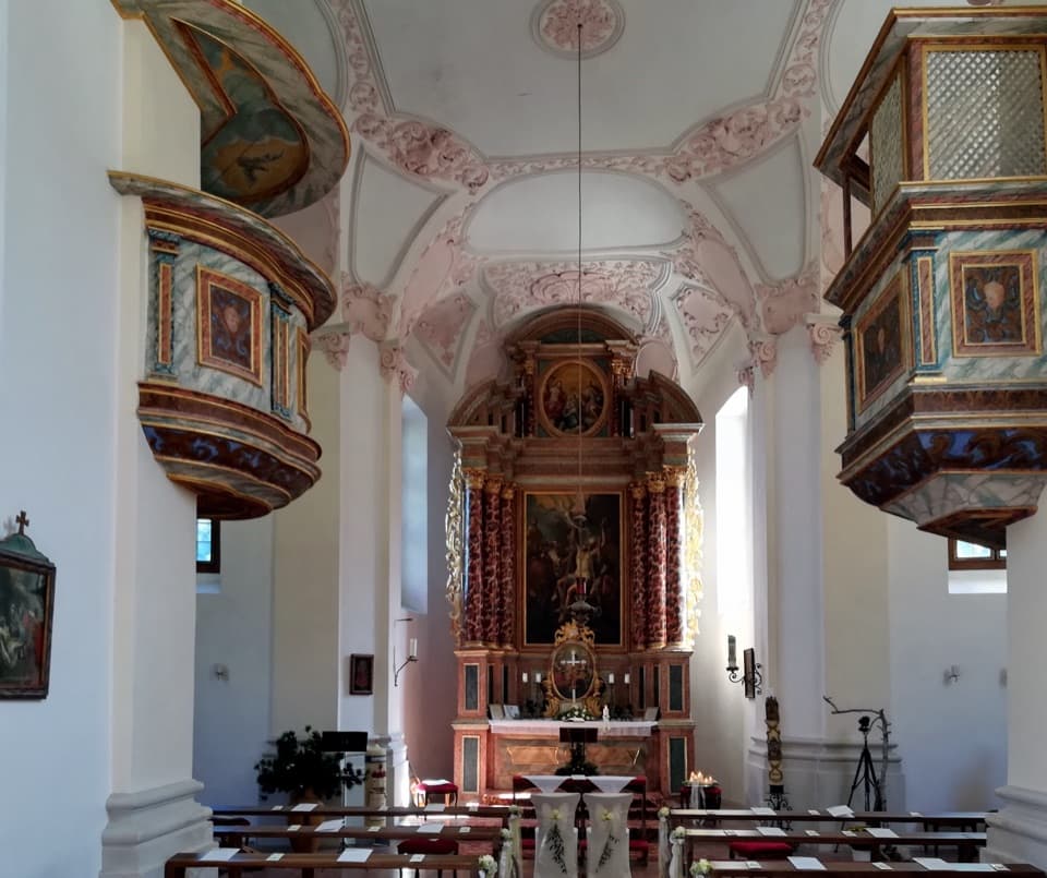 Sight · 2.2 km awaySt. Bartholomä Pilgrimage ChurchA Baroque pilgrimage church beneath Königssee’s towering Watzmann face.
 Lodging · 2.2 km awayGotzenalmA ten-minute walk leads to Königssee beneath the Watzmann's east face.
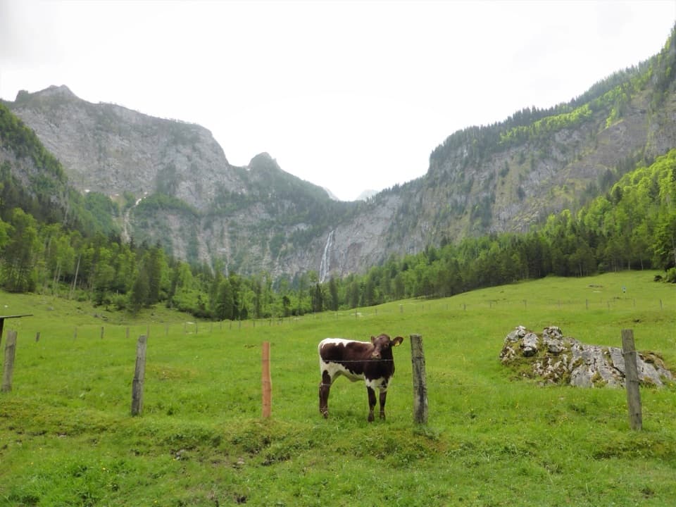 Restaurant · 2.2 km awayFischunkelalmA dairy stop on Obersee’s far shore, reached by boat and trail.
Parkwolf’s Berchtesgaden ranking

The audio tour guide for the drive, plus offline maps, trails, and wildlife heatmaps for when the signal drops.



