Parking
Use the large municipal car park at Königssee Seelände; the pier is about five minutes away on foot. Take the passenger boat to Salet, where the trail starts; there is no road access to the trailhead.
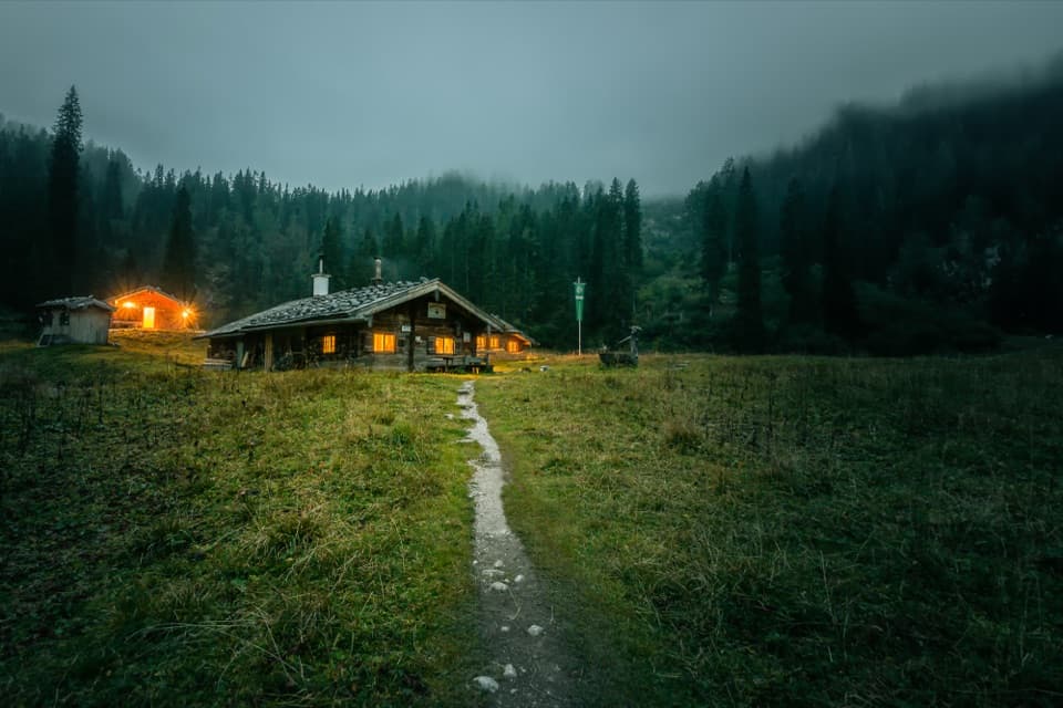
Berchtesgaden National Park, BY
A hard climb to a hut meadow above Obersee.
Overview
Map & elevation
Plan your hike

The highest, rockiest slopes around here are a summer buffet for grizzly bears.
Berchtesgaden Tour Guide
Parkwolf is a GPS audio tour guide for Berchtesgaden National Park. As you drive, it chimes in with what’s ahead: hidden gems, upcoming stops, history, geology, and wildlife, right through your car’s speakers.
More stories near here in the app
“Fantastic app with many points of information… It’s great to just turn on while you’re driving and it gives you an audio tour of the national Park. We love it!!!!”


Trail guide
This is a boat-assisted 13.0 km (8.1 mi) out-and-back from Salet to Wasseralm and back over the same Röthsteig route. The often-published 6.5 to 6.9 km describes the one-way climb, not the full day hike. Allow six to seven hours on foot, plus roughly two hours for the boat trip to Salet and back, and extra time for waits. The ferry runs seasonally, so check the first and last departures before you set out. This is a hard mountain walk for hikers with sure footing and no trouble with exposure. If you want the lake scenery without the climb, turn back at Obersee or Fischunkelalm.
From Salet’s boat landing, take the wide path past Salet Alm toward Obersee. At the lake, follow its southeast shore. The route has a steep stepped rise and then drops again to the pasture at Fischunkelalm, so even this early stretch is more than an easy lakeside stroll. The huts and shoreline are the gentler part of the day; the route’s real climb starts at the far end of the lake. At Fischunkelalm, go right in front of the hut and uphill across the alpine meadows. After the forest approach, take the right fork for Röthsteig; Landtalsteig branches left and is a separate route.
The trail climbs through forest before the Röthsteig fork. Keep right for a narrow mountain path that gains height in tight switchbacks up the head of the valley. Rock steps and small stream or cascade crossings break up the climb. Parts are exposed and secured; they call for confident footing and a head for heights. The same steep ground is waiting on the descent. Wet rock makes this a poor route choice; postpone after rain or when the trail is slick.
As the switchbacks rise, Obersee and Königssee open up below. At a bend, look back and frame both lakes with a little of the trail in view: the path itself shows how far above the shore you have climbed.
After the steepest ground, the route reaches a ridge and eases through stretches of mountain forest before opening into the large clearing around Wasseralm. Röthbach accompanies the upper approach, with plank crossings along the way. From near the waterfall’s upper start, you see only part of Röthbachfall; the full fall drops 479 metres over several stages. The hut sits in a basin between Hagengebirge and Steinernes Meer, with the meadow and forested slopes framing the arrival rather than a broad summit panorama.
Wasseralm is a small self-catering hut that is staffed in summer. It has been staffed since 2005, after an earlier period as an unstaffed shelter. Treat it as a seasonal stop and confirm what is available before counting on food or an overnight bed.
This itinerary retraces the Röthsteig to Salet. The boat operator estimates about 950 metres of ascent from Salet to the hut; route measurements are lower, around 875 to 890 metres, but agree that this is a sustained, steep climb. The large municipal car park is at Königssee Seelände, about a five-minute walk from the pier; take the boat to Salet, where the walk begins. There is no road access to the trailhead. Salet has no overnight accommodation and camping is prohibited, so do not let the final return boat become an afterthought. Dogs may come on leash in the park, but the boat operator requires a muzzle on the return trip.
Wildlife
 14 sightingsBearded VultureMost seen around noonSighting map
 29 sightingsGolden EagleMost seen around noonSighting map
 22 sightingsRed DeerMost seen around 6 PMSighting map
 131 sightingsAlpine ChamoisMost seen around 5 PMSighting map
 65 sightingsAlpine SalamanderMost seen around 11 AMSighting map
 63 sightingsAlpine MarmotMost seen around 9 AMSighting map
Sighting maps show where each species has been reported across Berchtesgaden. Wildlife moves, so no sighting is guaranteed.
Keep exploring
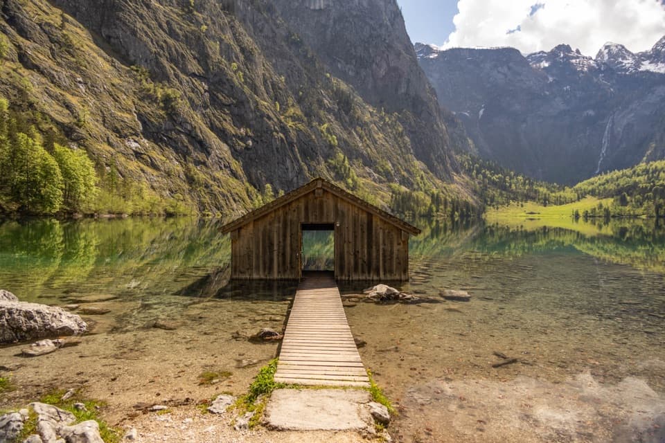 EasyObersee Accessible Trail2 km · 1 hr · At the trailheadA gentle lakeside walk ends at Obersee’s little boathouse.
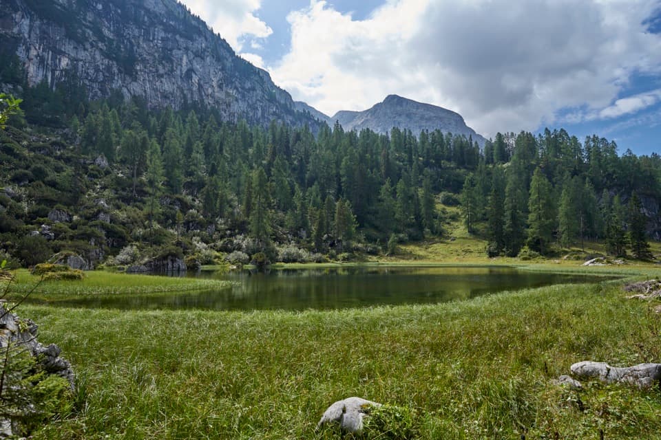 ChallengingHalsköpfl – Wasseralm-Runde17.2 km · 8.5 hr · At the trailheadA long alpine circuit with a broad view over Königssee
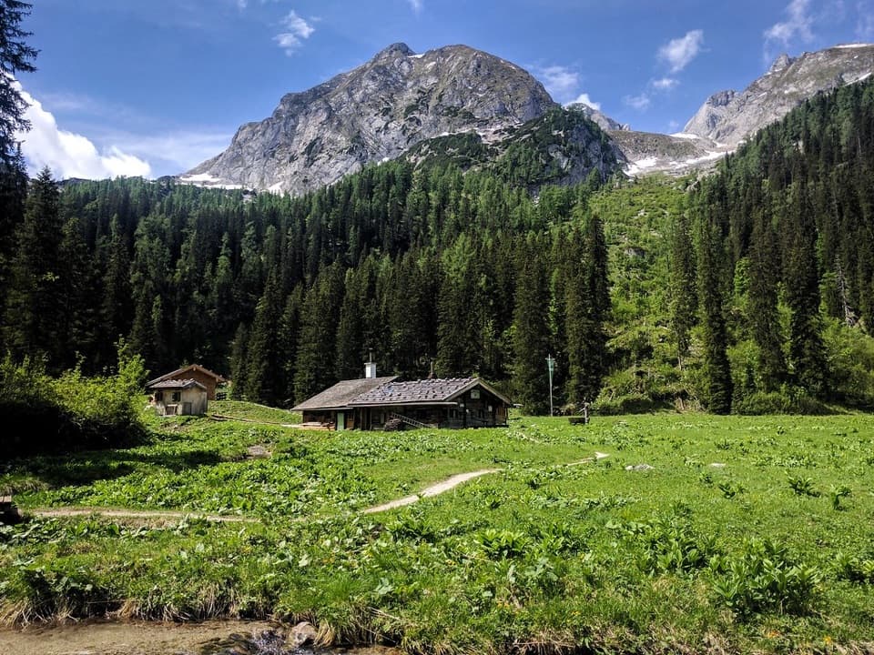 ChallengingWasseralm via Landtalsteig16.7 km · 7 hr · At the trailheadA steep, boat-served 10.4-mile climb to Wasseralm and back.
 ModerateObersee – Fischunkelalm – Röthbachfall8 km · 3.5 hr · At the trailheadA rocky lakeshore walk to a meadow beneath Germany’s highest waterfall.
 ChallengingGroßes Teufelshorn via Wasseralm21.5 km · 10 hr · At the trailheadA remote, boat-accessed summit climb with exposed, cable-secured passages
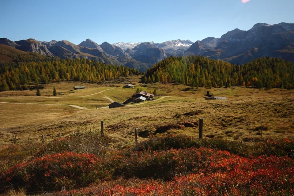 ChallengingGotzenalm via Kaunersteig15.8 km · 8 hr · At the trailheadA steep climb earns a balcony over Königssee.
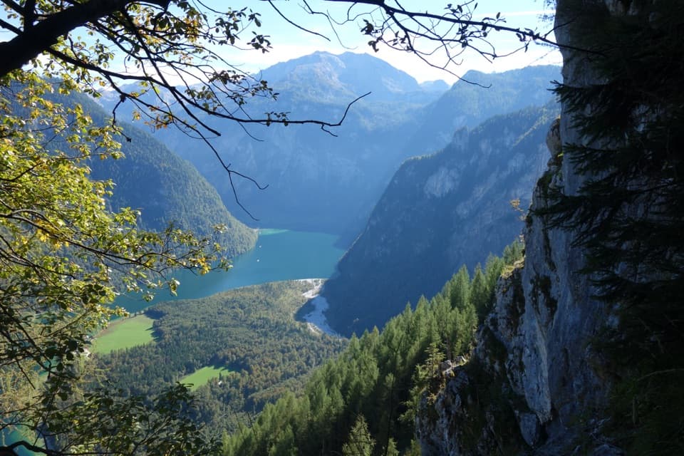 ChallengingRinnkendlsteig11 km · 6 hr · 2 km awayA steep, exposed climb with a high view over Königssee.
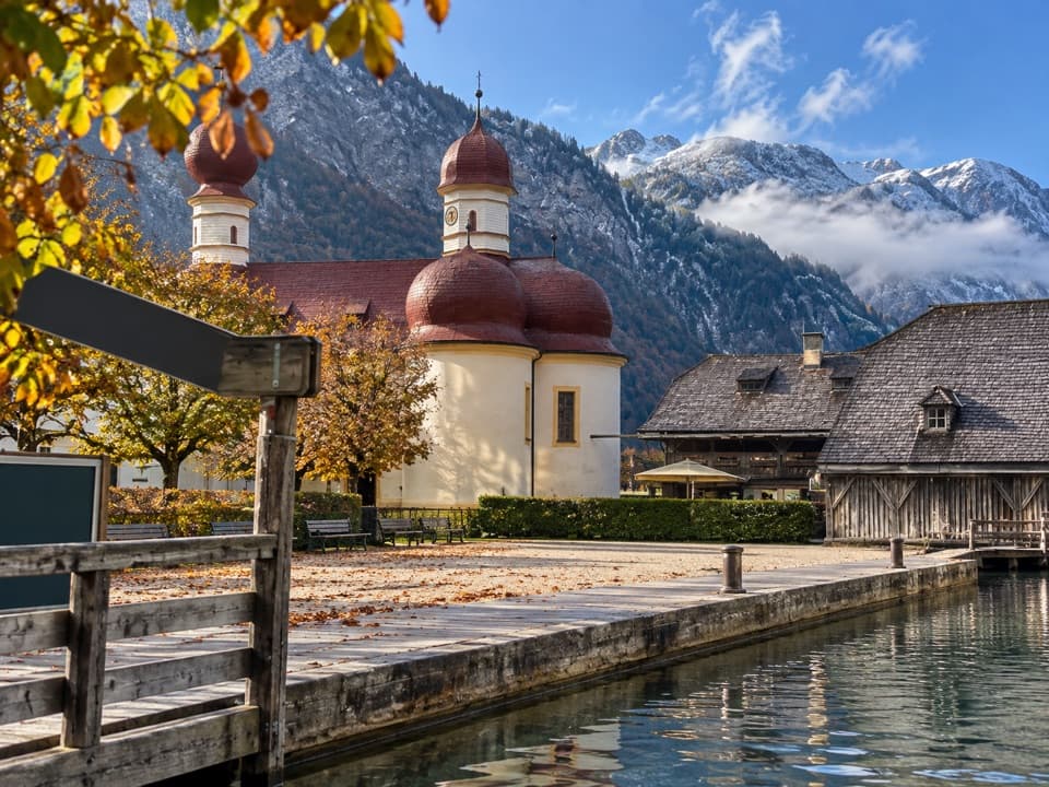 EasySt. Bartholomä-Rundweg1.9 km · 1 hr · 2.1 km awayA gentle loop links the lakeshore, woodland and red-domed church.
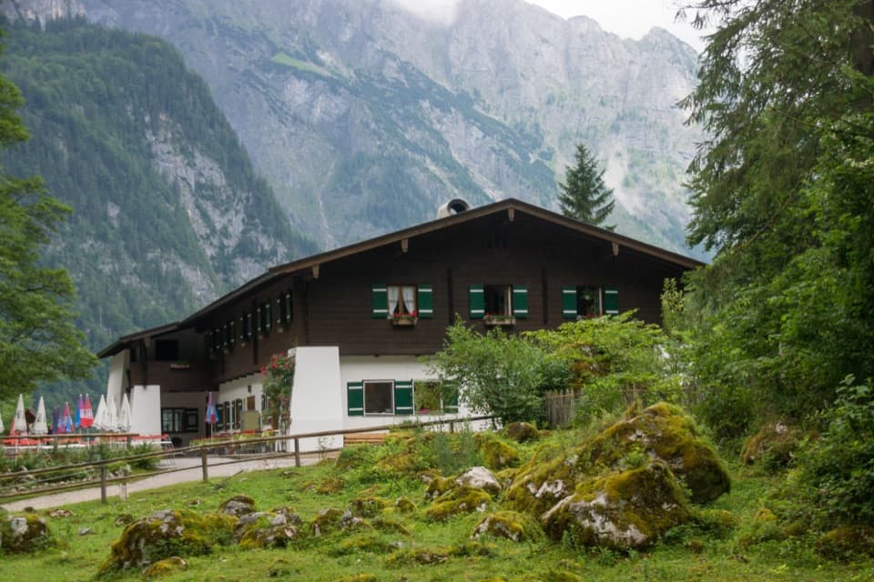 Restaurant · 0.3 km awaySaletalmLunch before the Obersee walk, with a beer garden under limestone cliffs.
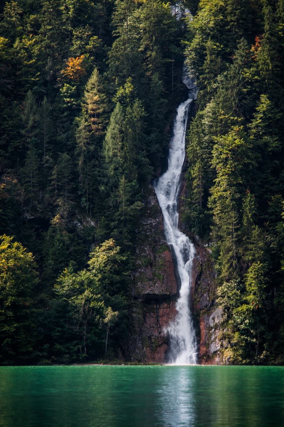 Sight · 1 km awaySchrainbach WaterfallA 30-minute walk from St. Bartholomä reaches the 80-meter falls.Sight · 1.3 km awayOberseeAn emerald lake with a mountain wall and waterfall behind it.
 Food · 2.2 km awayFischerei St. BartholomäA boat-trip stop for smoked fish with a long local history.
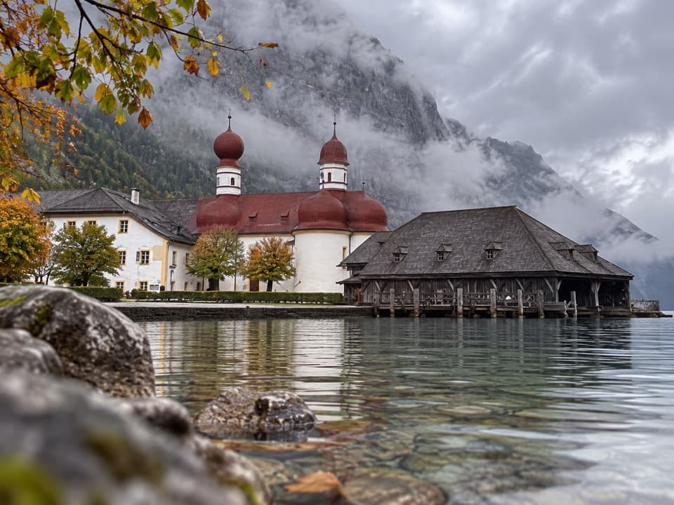 Restaurant · 2.2 km awayGaststätte St. BartholomäBavarian beer in a former royal hunting lodge on Königssee.
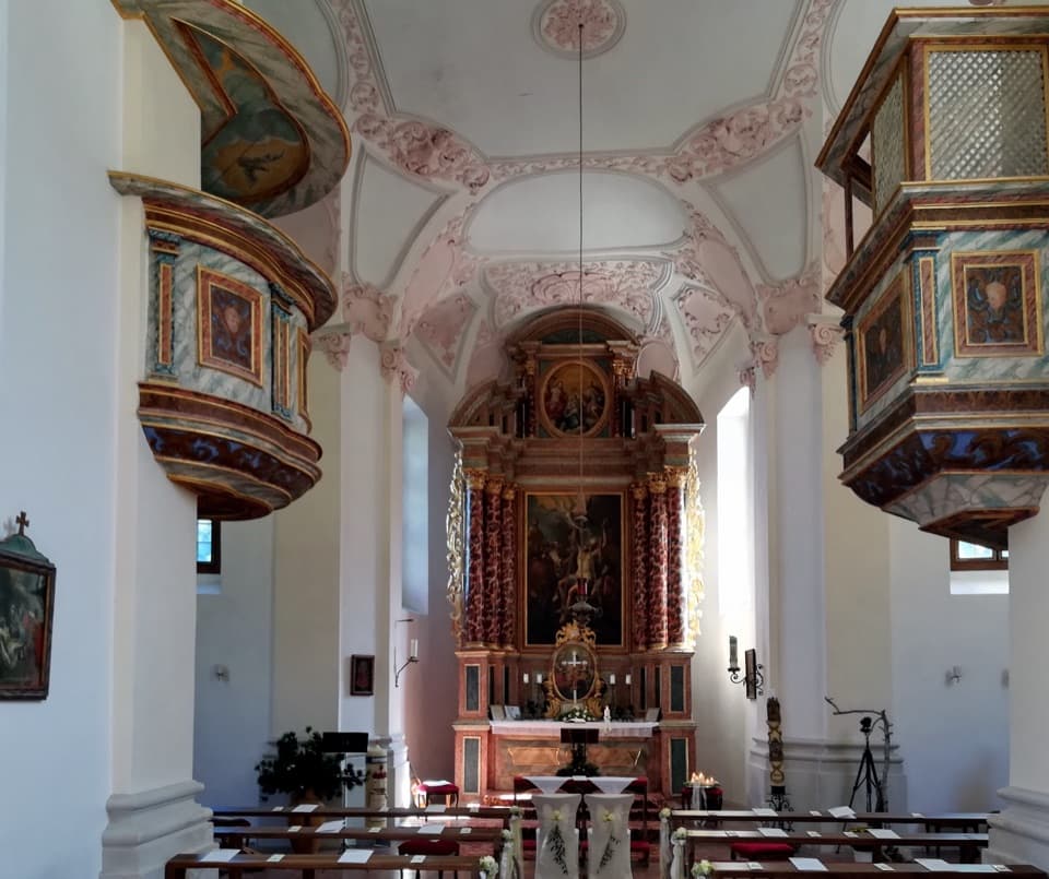 Sight · 2.2 km awaySt. Bartholomä Pilgrimage ChurchA Baroque pilgrimage church beneath Königssee’s towering Watzmann face.
 Lodging · 2.2 km awayGotzenalmA ten-minute walk leads to Königssee beneath the Watzmann's east face.
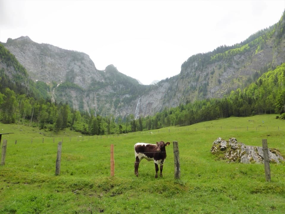 Restaurant · 2.2 km awayFischunkelalmA dairy stop on Obersee’s far shore, reached by boat and trail.
Parkwolf’s Berchtesgaden ranking

The audio tour guide for the drive, plus offline maps, trails, and wildlife heatmaps for when the signal drops.



