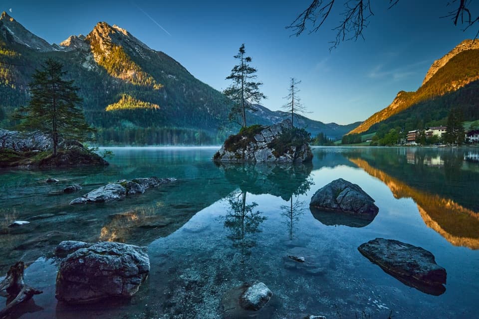
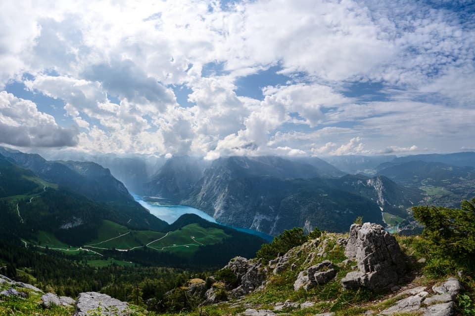
Obersee in Berchtesgaden National Park

#3 of 23 sights in Berchtesgaden

Sight · Berchtesgaden National Park

Obersee

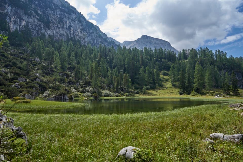
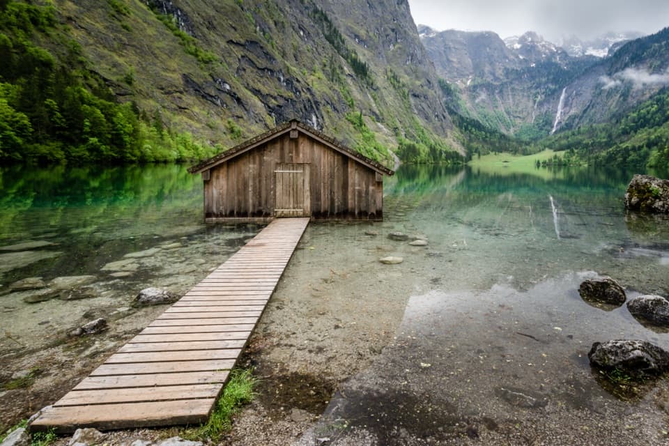
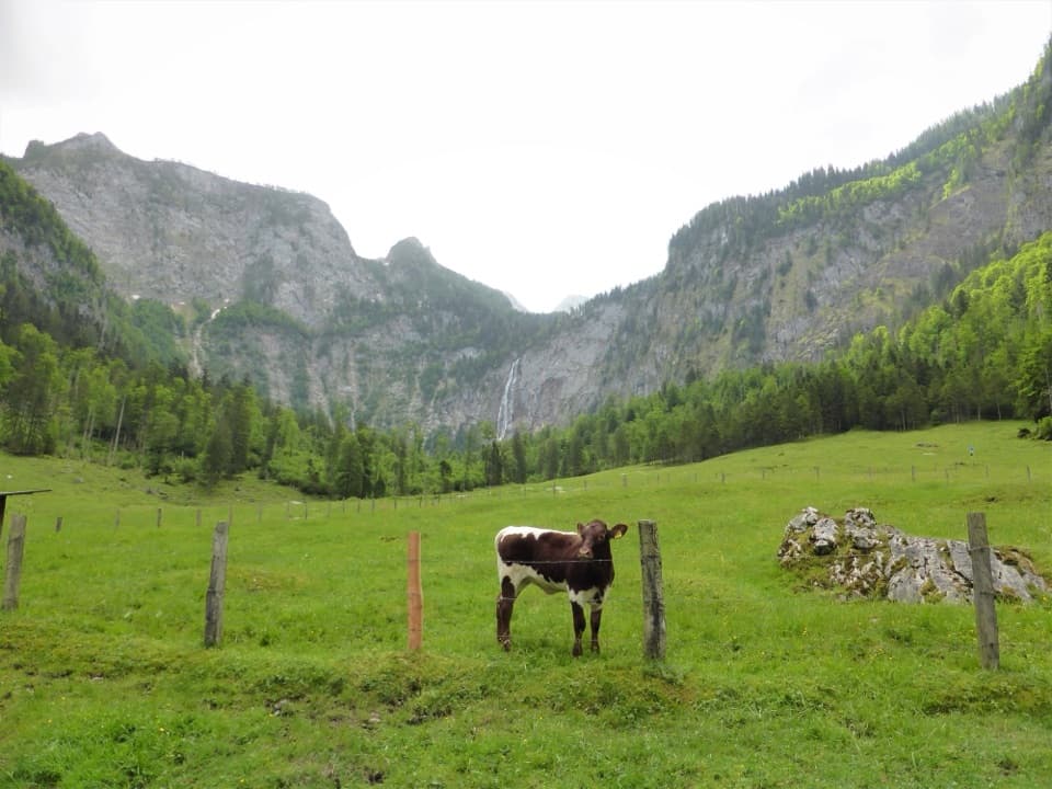
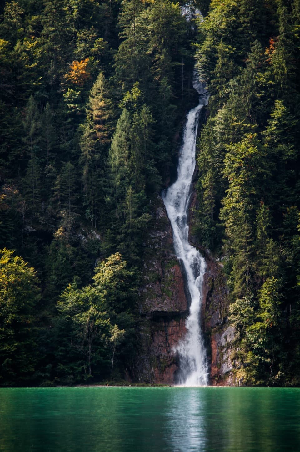
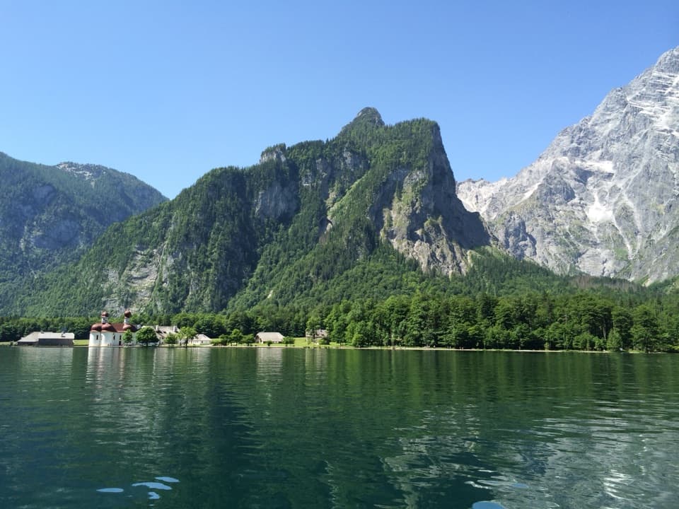
An emerald lake with a mountain wall and waterfall behind it.

Photo: Wikimedia Commons
Type
Sight
Nearest trail
1.3 km
  • Scenic viewpoint
  • Restaurant
  • Food
  • Trailhead

Hear the audio tour

Königssee by Boat or on Foot

Overview

About Obersee

Why stop

  • A flat 15-minute walk delivers a striking lake-and-mountain view.

Heads up

  • Boat access is seasonal, and the longer shore walk has rougher footing.
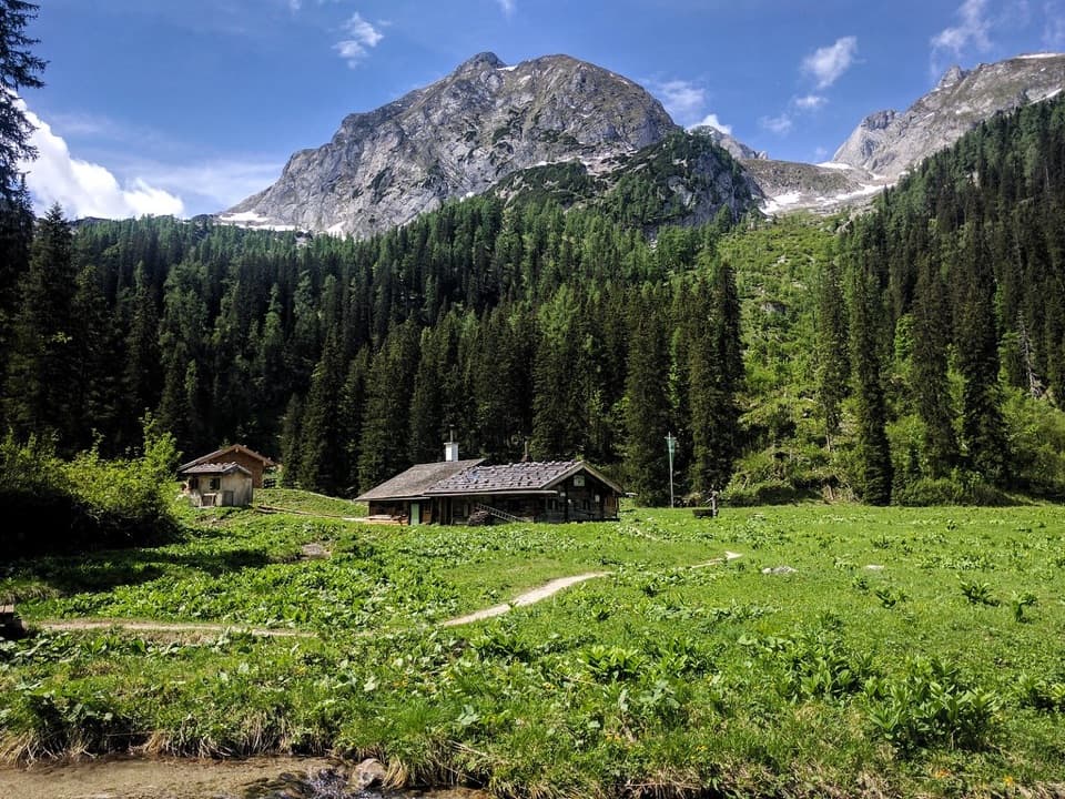
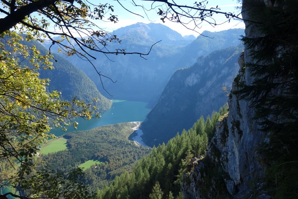
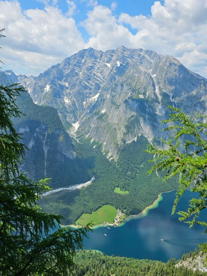
Obersee is a clear alpine lake at the southern end of Königssee, framed by steep limestone walls with a waterfall at its far end. It’s one of Berchtesgaden’s defining lake views, and the first shore doesn’t take a long hike to reach. The regular visitor route is by passenger boat to Salet; the crossing from Seelände takes about an hour, followed by a flat walk of around 15 minutes to the western shore. Salet boats usually run from late April to mid-October, so plan around that seasonal service.
Parkwolf’s verdictWorth planning the boat trip

Map

Where it is

Loading the Berchtesgaden map
Full map
SightObersee47.51709, 12.98614
Keep this map with you offline in the Parkwolf app

Plan your stop

Before you go

2 active Berchtesgaden alerts

  • ClosureKlausbachtal trail closuresTwo Klausbachtal trail sections are closed; use the Hirschbichlstraße (St 2099) to bypass them. - Trail No.Official details
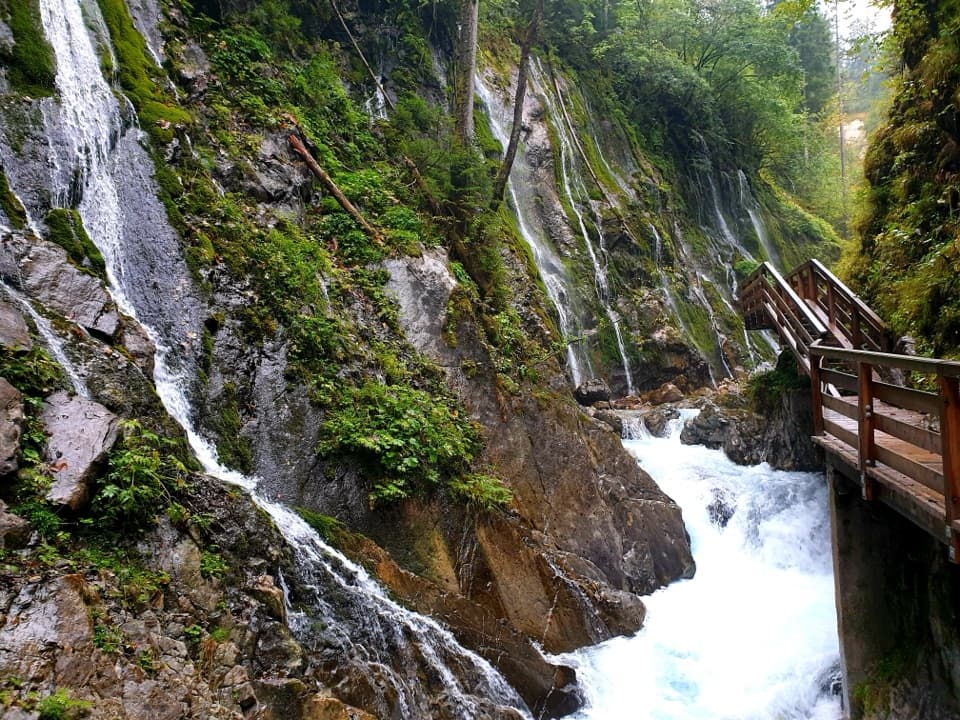
  • ClosureKönigsbach Waterfall Gumpen area closedThe wide area around the “Gumpen” pools at Königsbach Waterfall is closed to visitors to protect recovering vegetation.Official details
Berchtesgaden alerts
A park ranger sits on a dash-mounted phone, talking, as Parkwolf’s Tour Guide plays “Army Cutworm Moths: A Grizzly Bear Buffet” on Grand Loop Road below Dunraven Pass in Yellowstone
Parkwolf Tour GuideThe highest, rockiest slopes around here are a summer buffet for grizzly bears.

Berchtesgaden Tour Guide

Your drive to Obersee, narrated.

Parkwolf is a GPS audio tour guide for Berchtesgaden National Park. As you drive, it chimes in with what’s ahead: hidden gems, upcoming stops, history, geology, and wildlife, right through your car’s speakers.

Recorded for this place

Königssee by Boat or on Foot
0:00 / 0:35
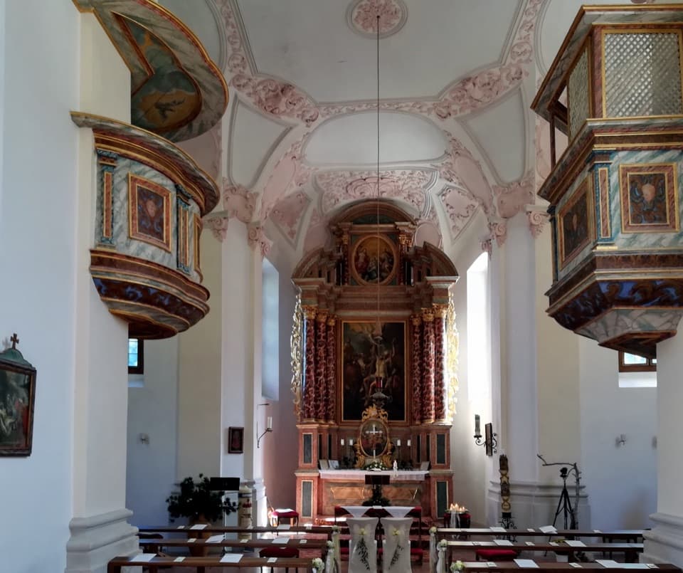
“You're coming up on Königssee, where electric boats carry you between steep mountain walls beneath the Watzmann. I'd take the boat to St. Bartholomä for the red-domed church and a wander along the shore.”

Plays as you drive up to Obersee in the Parkwolf Berchtesgaden Tour Guide.

More stories near here in the app

  • Jennerbahn: Ride Up for Königsblick
  • Hinterbrand: Pasture Walk or Alpine Circuit
  • A Schnapps Dug from the Mountain
  • Reading the Ice’s Past
  • 25 audio storiesacross Berchtesgaden’s roads, triggered by GPS as you drive
  • Wildlife heatmapsfor Bearded Vulture, Golden Eagle, Red Deer, and 13 more
  • Works offlinemaps, 71 trails, 57 places, and audio download before you lose signal
  • CarPlay readysimple controls built for the drive
★★★★★
“Fantastic app with many points of information… It’s great to just turn on while you’re driving and it gives you an audio tour of the national Park. We love it!!!!”
JMJamesApp Store review
Download Parkwolf on the App StoreGet Parkwolf on Google Play

4.7 from 8,600+ ratings

Guide

More about Obersee

The first shore or the full walk?From Salet-Alm, a flat footpath leads to the western shore, where the view opens across the…

From Salet-Alm, a flat footpath leads to the western shore, where the view opens across the water to the mountains. Stay here for the classic lake scene, or continue to Fischunkelalm for a longer outing; the path beyond the first shore can be rocky and slippery, and you return the same way. Don’t assume the whole walk is as easy as the first 15 minutes.

The first shore can feel busy, especially on sunny holidays and long weekends. Go early if you can; the operator warns that waits can build on peak days. Walking farther around the lake often gives you a quieter view, if you have time and are comfortable with rougher footing.

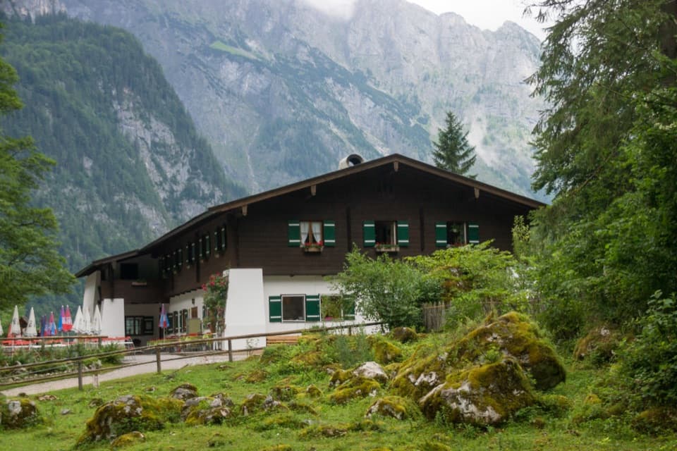
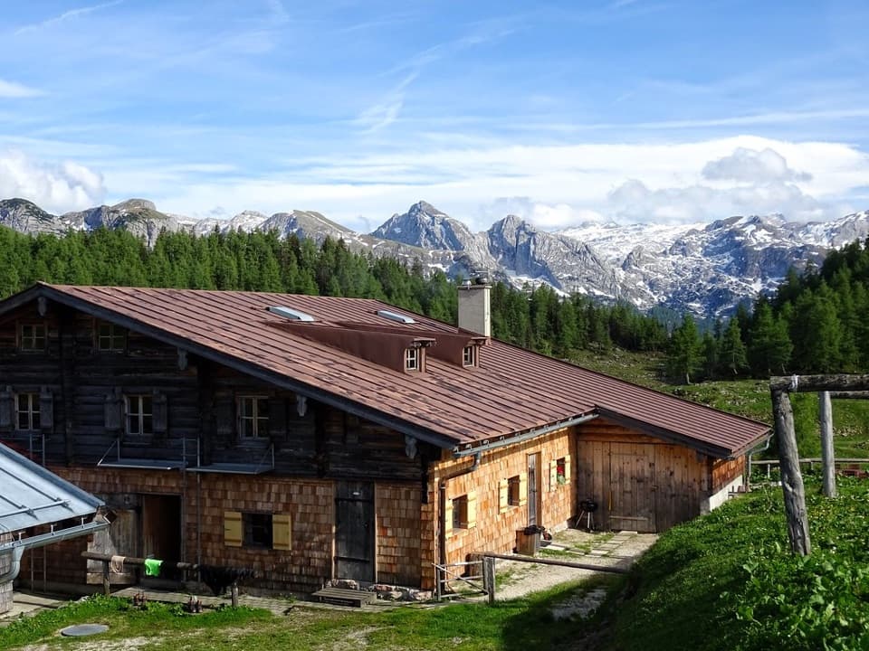
Food and the return boatSaletalm’s mountain restaurant is near the start of the path.

Saletalm’s mountain restaurant is near the start of the path. Fischunkelalm is a seasonal hut across the lake, so check its season before you plan lunch around it. If you walk beyond the first shore, leave time to retrace your steps and catch the boat back. Check the latest timetable and last return before you leave Seelände.

Get the lake into your photoThe western shore gives you the classic angle: clear green water reflecting the mountain wall,…

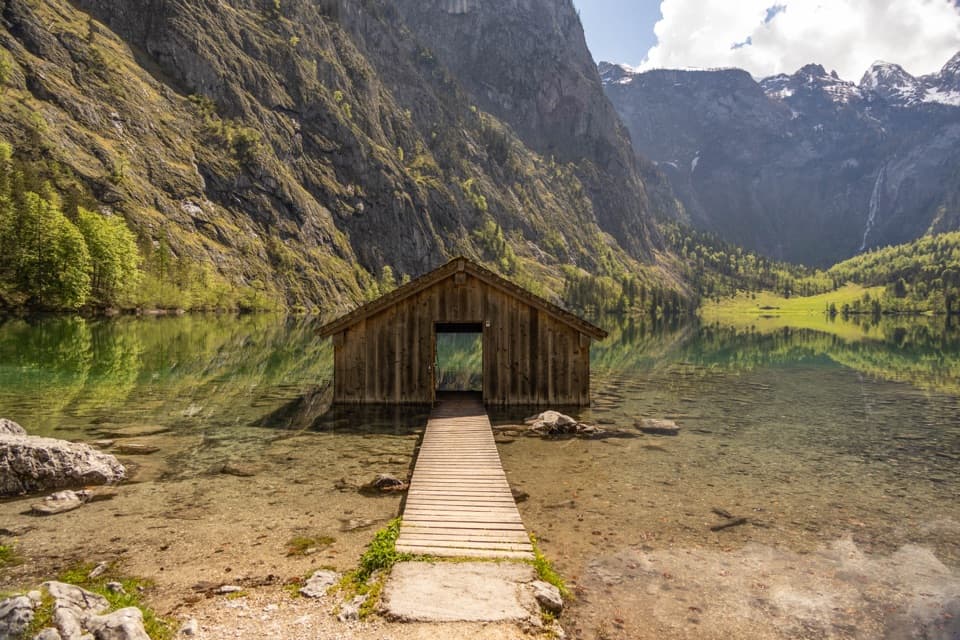
The western shore gives you the classic angle: clear green water reflecting the mountain wall, with a meadow and Röthbachfall across the far side. Include the wooden boathouse or near-shore rocks in the foreground; reflections alone can make the steep walls look flatter than they feel from the shore.

The boulders on the way inThe large boulders on the path between Königssee and Obersee came from a rockfall in 1172.

The large boulders on the path between Königssee and Obersee came from a rockfall in 1172. Look for them on the walk in; they’re a striking bit of history before the lake comes into view.

The rock behind the sceneryThe surrounding limestone began as sediment in the ancient Tethys Sea about 200 million years…

The surrounding limestone began as sediment in the ancient Tethys Sea about 200 million years ago. Around 140 million years ago, as Africa moved north toward Europe, these deposits were folded, pushed over one another and lifted into the mountain landscape. The region’s brittle Ramsau dolomite lies beneath the more yielding Dachstein limestone, which forms high plateaus and steep mountain walls.

Keep going to RöthbachfallObersee can be a short lakeside stop or the start of a longer outing.

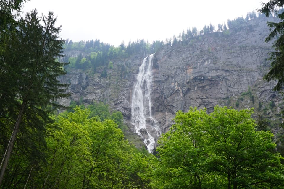
Obersee can be a short lakeside stop or the start of a longer outing. Beyond Fischunkelalm, the route continues toward Röthbachfall, a two-stage waterfall on the far side of the lake. That’s a different commitment from the easy first-shore walk, so check your footing and keep the return boat in mind.

Wildlife

Wildlife in Berchtesgaden

All Berchtesgaden wildlife maps

Sighting maps show where each species has been reported across Berchtesgaden. Wildlife moves, so no sighting is guaranteed.

Keep exploring

Near Obersee

See it all on the map

Trails nearby

More stops nearby

Parkwolf’s Berchtesgaden ranking

Top sights in Berchtesgaden

All 57 places
  1. 1KönigsseeSight
  2. 2St. Bartholomä Pilgrimage ChurchSight
  3. 4WimbachklammSight
  4. 5Haus der BergeSight
  5. 6HinterseeSight
  6. 7Königsblick (Jenner Summit Viewpoint)Sight

Take Parkwolf to Berchtesgaden.

The audio tour guide for the drive, plus offline maps, trails, and wildlife heatmaps for when the signal drops.

4.7 from 8,600+ ratings

Download Parkwolf on the App StoreGet Parkwolf on Google Play