Parking
Park at Lockleys Pylon carpark beside Mount Hay Road, about 10 km along the road from Leura. The approach includes gravel and unsealed sections; drive carefully and check park alerts before travelling.
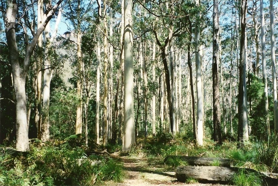
Blue Mountains National Park, NSW
Pylon panoramas give way to a steep descent into blue gum forest.
Overview
Map & elevation
Plan your hike

The highest, rockiest slopes around here are a summer buffet for grizzly bears.
Blue Mountains Tour Guide
Parkwolf is a GPS audio tour guide for Blue Mountains National Park. As you drive, it chimes in with what’s ahead: hidden gems, upcoming stops, history, geology, and wildlife, right through your car’s speakers.
See the Blue Mountains audio tourRecorded for this trailhead
The Walk to Lockley Pylon“You're coming up on the start of the Lockley Pylon walk, a good choice for a rocky summit above the Grose Valley.”
Plays as you drive up to this trailhead in the Parkwolf Blue Mountains Tour Guide.
More stories near here in the app
“Fantastic app with many points of information… It’s great to just turn on while you’re driving and it gives you an audio tour of the national Park. We love it!!!!”


Trail guide
This is the longer Mount Hay Road to Blue Gum Forest outing: an 11.8 km out-and-back via Lockley Pylon and Shortridge Pass. It combines an exposed heathland approach, a big Grose Valley lookout and a steep drop into the valley’s blue gums. Allow about six hours for the full return, including the climb back out. The mapped itinerary includes a short summit loop; the separate pylon-only walk is 7 km return and stops before the forest descent. Another account gives 13.1 km for a similar forest trip, so treat 11.8 km as the distance for this mapped version rather than averaging the different itineraries.
The forest section makes this a demanding day, not just a longer lookout walk. Carry enough water for the whole outing, leave time to climb back to the ridge, and keep an offline map available. If you want the pylon views without the steep forest descent, turn around at the lookout and follow the shorter route back.
From the Mount Hay Road carpark, the track crosses heath and rocky outcrops, then reaches the small summit. Steps lead onto the pylon’s broad rock top. The payoff is the Grose Valley’s eucalypt canopy framed by the golden sandstone cliffs of Mount Hay and Mount Banks. The summit is exposed and can be windy. In spring, red lambertias flower in the heath; pink flannel flowers may appear where fire has passed through. Bring binoculars if you enjoy watching birds over the valley.
The forest route continues below the pylon and drops steeply over rough rock and a succession of small outcrops. The tread becomes faint or braided in places, with a few small drops and easy scrambles; follow the mapped line carefully rather than assuming every footpad is the route. At the saddle by Du Faur Buttress, Shortridge Pass turns down toward the forest. The descent is followed by the same long climb back to the pylon and carpark.
At the lower junction, the route leads toward the river and into Blue Gum Forest, a striking stand of tall trees enclosed by the valley. This is the walk’s quieter destination after the open ridge. The forest is also a conservation landmark: in the 1930s, bushwalkers pooled money to buy it and prevent logging. Lockley Pylon takes its name from journalist J. G. Lockley, who supported that campaign. The lookout and the forest tell the same story from opposite ends of the descent.
The trailhead is the Lockleys Pylon carpark beside Mount Hay Road, roughly 10 km along the gravel road from Leura. The approach includes unsealed sections, so drive carefully and check park alerts before setting out. There is no drinking water on the route and mobile reception is limited. Bring water, a topographic map, compass, GPS and a personal locator beacon. Dogs and other pets are not permitted in the national park.
Wildlife
 58 sightingsGrey KangarooMost seen around 6 AMSighting map
 43 sightingsWombatMost seen around 6 PMSighting map
 18 sightingsRed-necked WallabyMost seen around 6 PMSighting map
 53 sightingsSwamp WallabyMost seen around 7 AMSighting map
 23 sightingsBrushtail PossumMost seen around 7 PMSighting map
 30 sightingsRing-tailed PossumMost seen around 7 PMSighting map
Sighting maps show where each species has been reported across Blue Mountains. Wildlife moves, so no sighting is guaranteed.
Keep exploring
 ModerateLockley Pylon walking track7 km · 2.5 hr · At the trailheadA rocky heath walk pays off with a huge Grose Valley view.
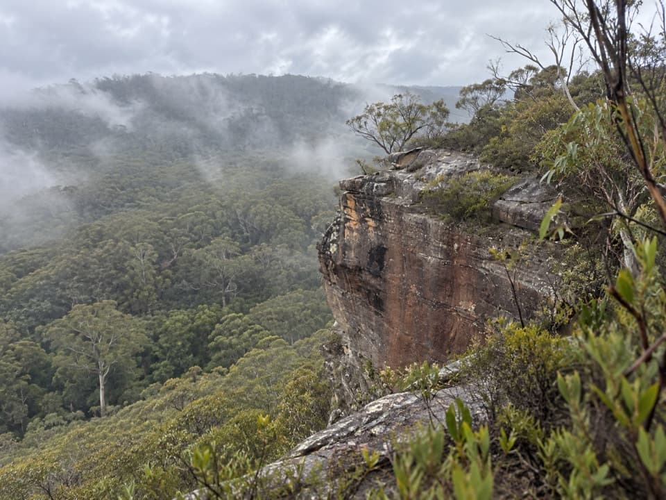 ModerateFlat Top Walk1 km · 36 min · 0.2 km awayA short, steep climb buys a wide Grose Valley outlook.
 ModerateFortress Ridge walking track7.4 km · 3 hr · 1 km awayWide Grose Valley views reward a rugged ridge walk.
 ChallengingDr Dark's Cave Walk3.2 km · 2 hr · 1 km awayA steep, unsigned scramble to a storied sandstone overhang.
 ModerateFortress Rock Lookout Walk2.9 km · 1.5 hr · 1 km awayOrange cliffs over the Grose Valley, on a short walk.
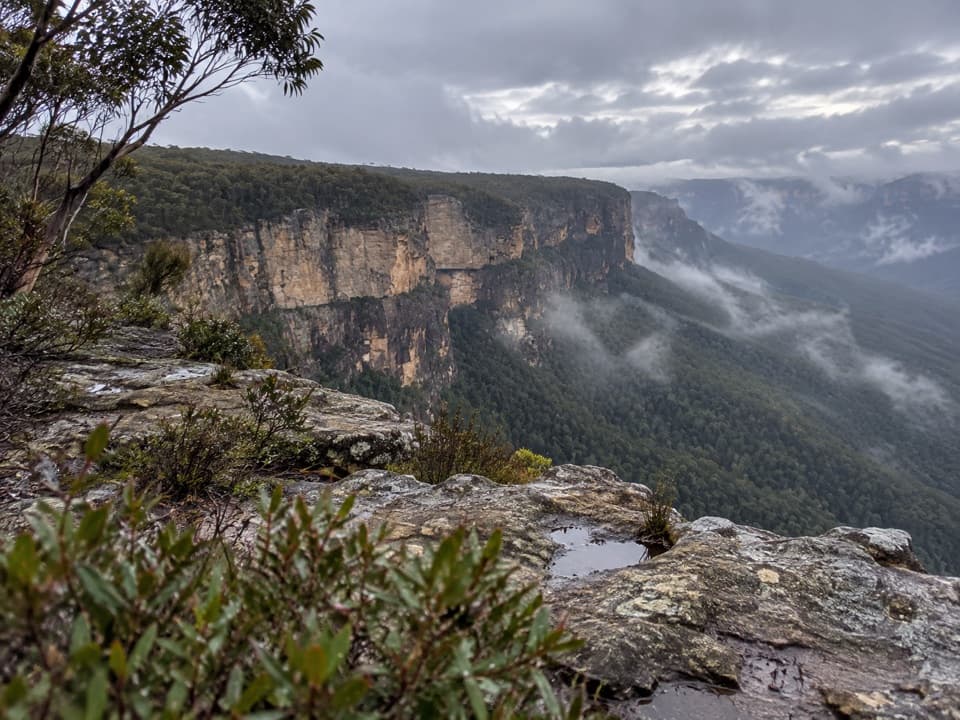 ModerateButterbox Point walking track3.3 km · 1.5 hr · 3.7 km awayGrose Valley views and ironstone shapes from a short ridge walk.
 ChallengingMount Hay summit walking track3.3 km · 2.5 hr · 3.7 km awaySteep climb to a forested summit above the Grose Valley.
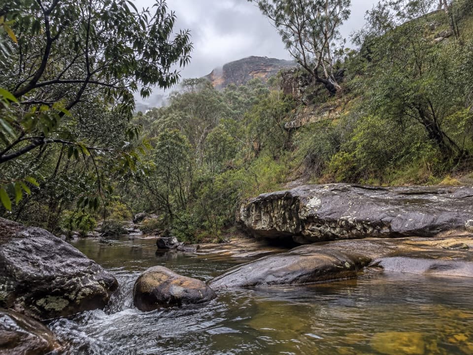 ModerateHorse Track to Junction Rock7.8 km · 4.5 hr · 4.3 km awayStair-heavy descent to cascades and pools at Junction Rock.
 Sight · 1.7 km awayFortress Rock LookoutA rugged, unfenced lookout over the Grose Valley.
 Sight · 3 km awayLockley PylonA rocky summit with a full sweep across the Grose Valley.
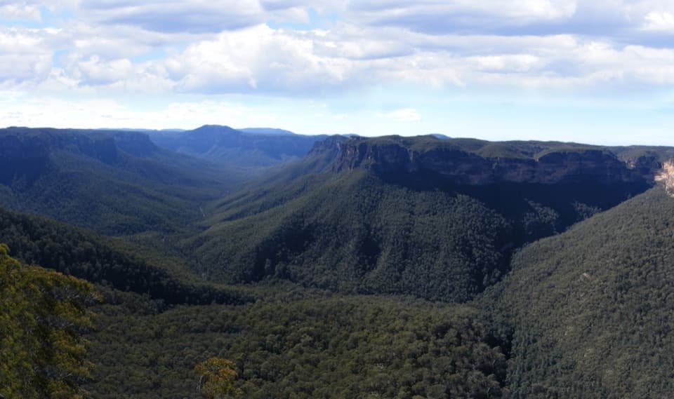 Sight · 4.2 km awayEvans lookoutA short, step-free stop above the forested Grose Valley.
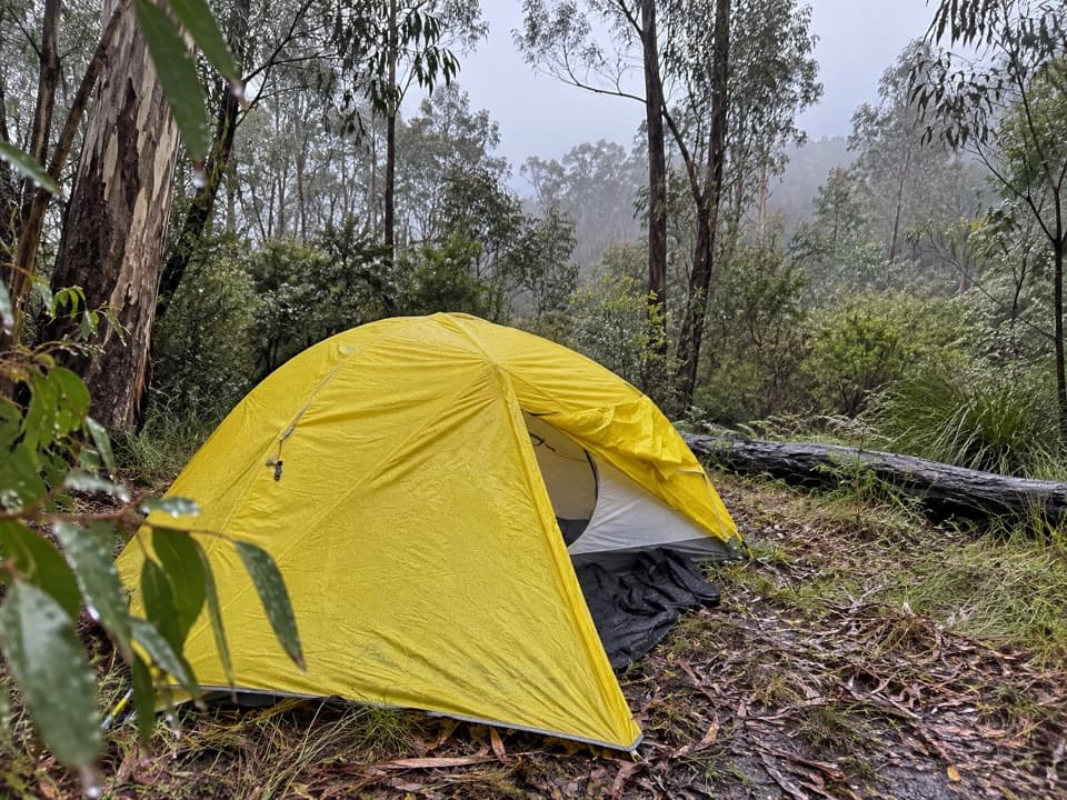 Campground · 4.4 km awayAcacia Flat campgroundA remote tent camp beside Blue Gum Forest.Sight · 4.9 km awayBlue Gum ForestWalk into the grove bushwalkers saved from the axe in 1931.
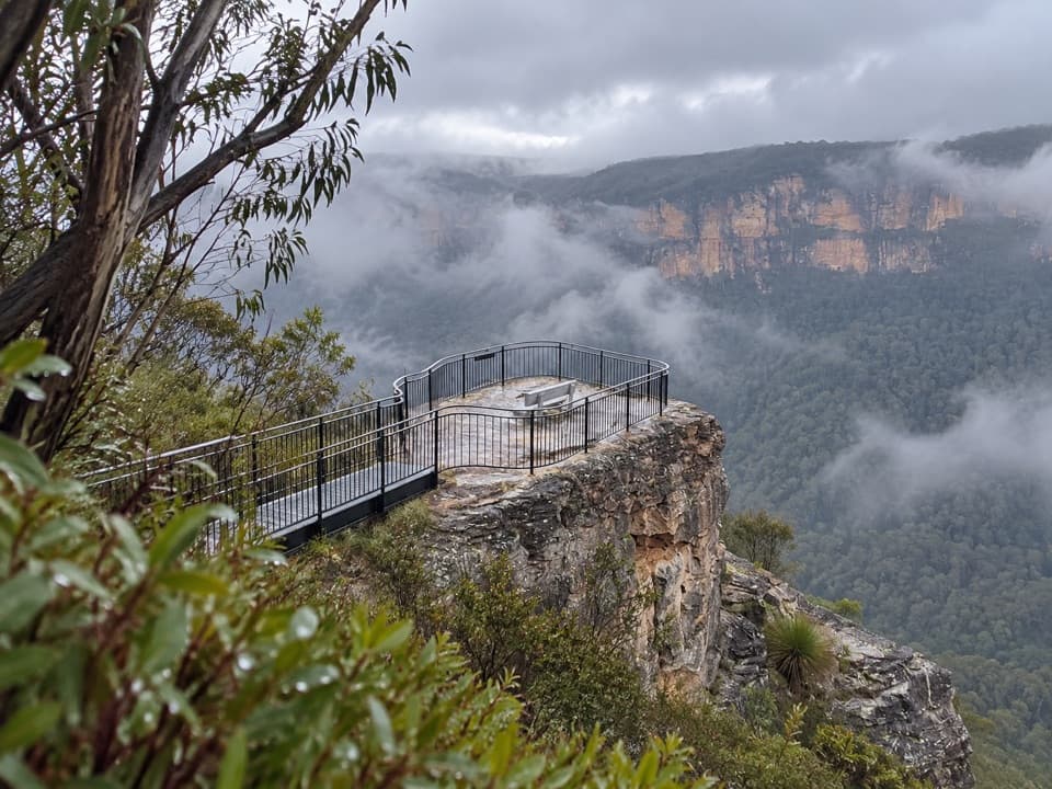 Sight · 5.2 km awayPulpit Rock lookoutStep down the rock blade for wide Grose Valley views.
 Sight · 6.1 km awayGovetts Leap lookoutSee the Grose Valley's cliffs without setting off on a bushwalk.
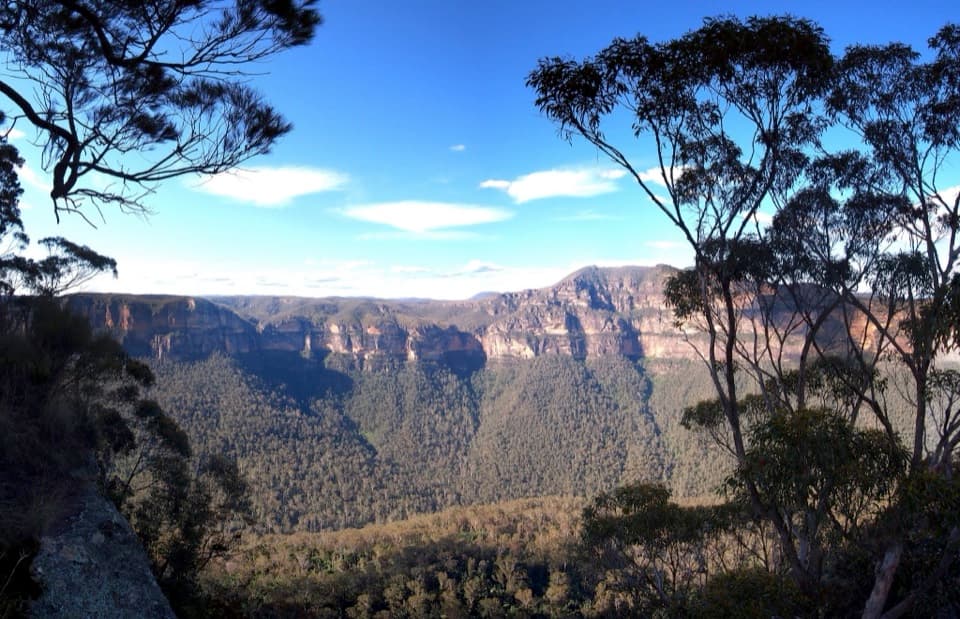 Sight · 6.2 km awayPerrys LookdownBig Grose Valley views, with the Blue Gum Forest far below.
Parkwolf’s Blue Mountains ranking

The audio tour guide for the drive, plus offline maps, trails, and wildlife heatmaps for when the signal drops.




