Parking
Use Fortress Ridge Carpark, about 9 km along Mount Hay Road from the Great Western Highway. The last 6 km are unsealed, and a higher-clearance vehicle is recommended. Parking is limited and may be busy on weekends.

Blue Mountains National Park, NSW
A steep, unsigned scramble to a storied sandstone overhang.
Overview
Map & elevation
Plan your hike

The highest, rockiest slopes around here are a summer buffet for grizzly bears.
Blue Mountains Tour Guide
Parkwolf is a GPS audio tour guide for Blue Mountains National Park. As you drive, it chimes in with what’s ahead: hidden gems, upcoming stops, history, geology, and wildlife, right through your car’s speakers.
See the Blue Mountains audio tourRecorded for this trailhead
Fortress Rock from Fortress Ridge Car Park“Up ahead is Fortress Ridge car park, where Fortress Rock makes a shorter outing of about three kilometres return and an hour and a half.”
Plays as you drive up to this trailhead in the Parkwolf Blue Mountains Tour Guide.
More stories near here in the app
“Fantastic app with many points of information… It’s great to just turn on while you’re driving and it gives you an audio tour of the national Park. We love it!!!!”


Trail guide
Dr Dark’s Cave Walk is a 3.2 km return out-and-back from Fortress Ridge Carpark to a tall sandstone overhang beside a small waterfall. Allow about two hours. The short distance hides a steep, rough descent and a couple of scrambles, so this is a hard walk rather than an easy waterfall stroll. The 3.2 km includes the carpark approach and cave branch; nearby Fortress Rock is a separate optional spur.
Pass the gate and follow the gently rising fire trail to an unsigned junction, then turn left. About 300 m later, take the narrow branch to the right. It descends steeply toward the creek bed; the tread becomes harder to see there, so keep northwest along the valley. Two short scrambles arrive near the overhang, including a slick rock step and a climb over a rocky outcrop. Return the same way, which means climbing back up the steep descent.
The destination is a large, deep sandstone shelter framed by trees, with a small waterfall beside it. Katoomba doctor Eric Payten Dark and his wife Eleanor are reported to have found it in 1937 and used it as a family retreat through the 1930s and 1940s. Historical accounts describe cookware and other household belongings left in the shelter; leave everything where it is. The waterfall was used as a water source, but it is not confirmed as safe to drink.
Start at Fortress Ridge Carpark, about 9 km along Mount Hay Road from the Great Western Highway. The last 6 km are unsealed, and higher clearance is recommended; parking is limited and can be busy on weekends. Toilets and drinking water at the carpark were not confirmed, and phone reception is reported absent on the route, so bring water and an offline map. Pets are not permitted in the national park; trained assistance animals are allowed.
Wildlife
 58 sightingsGrey KangarooMost seen around 6 AMSighting map
 43 sightingsWombatMost seen around 6 PMSighting map
 18 sightingsRed-necked WallabyMost seen around 6 PMSighting map
 53 sightingsSwamp WallabyMost seen around 7 AMSighting map
 23 sightingsBrushtail PossumMost seen around 7 PMSighting map
 30 sightingsRing-tailed PossumMost seen around 7 PMSighting map
Sighting maps show where each species has been reported across Blue Mountains. Wildlife moves, so no sighting is guaranteed.
Keep exploring
 ModerateFortress Ridge walking track7.4 km · 3 hr · At the trailheadWide Grose Valley views reward a rugged ridge walk.
 ModerateFortress Rock Lookout Walk2.9 km · 1.5 hr · At the trailheadOrange cliffs over the Grose Valley, on a short walk.
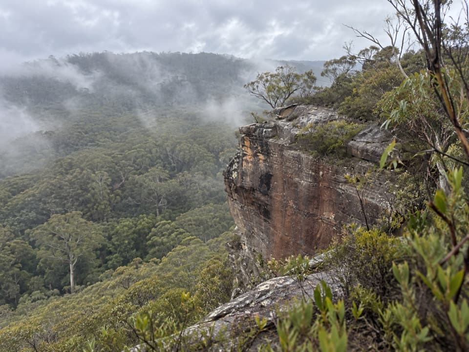 ModerateFlat Top Walk1 km · 36 min · 0.9 km awayA short, steep climb buys a wide Grose Valley outlook.
 ModerateLockley Pylon walking track7 km · 2.5 hr · 1 km awayA rocky heath walk pays off with a huge Grose Valley view.
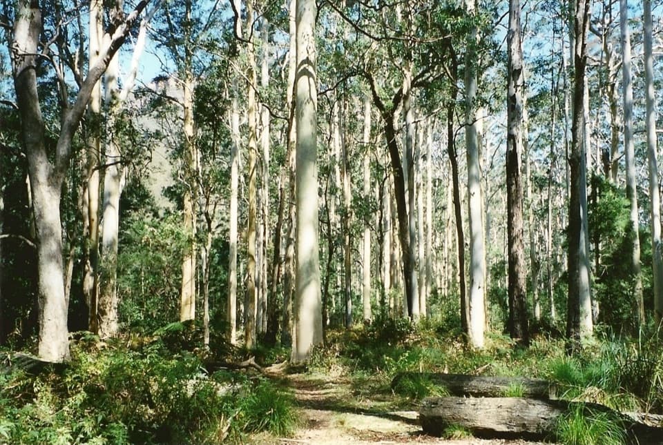 ChallengingBlue Gum Forest via Lockley Pylon11.8 km · 6 hr · 1 km awayPylon panoramas give way to a steep descent into blue gum forest.
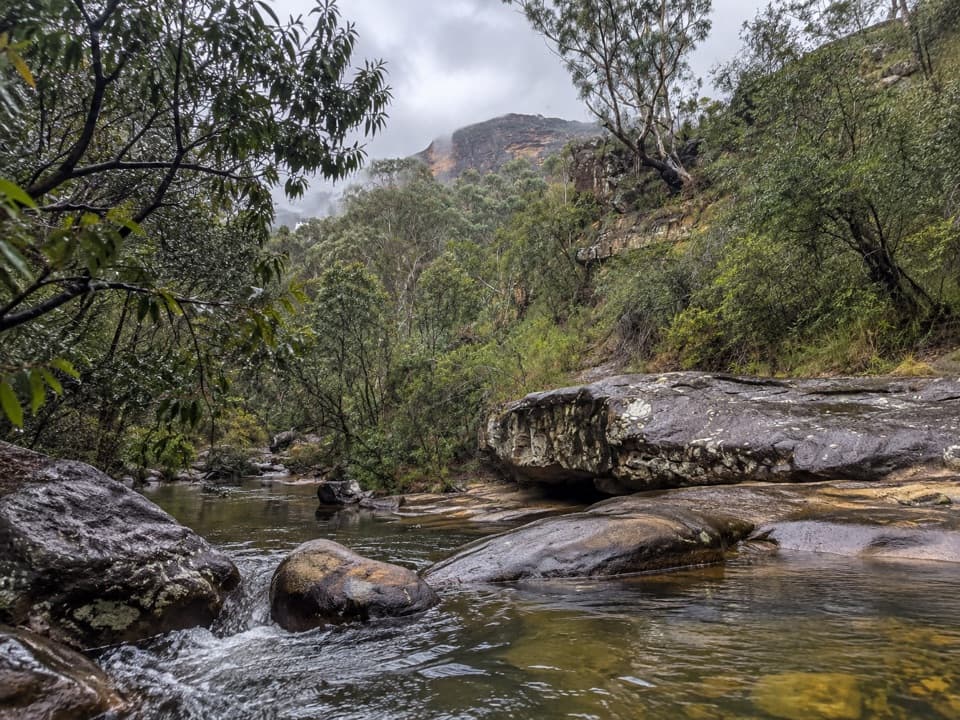 ModerateHorse Track to Junction Rock7.8 km · 4.5 hr · 3.8 km awayStair-heavy descent to cascades and pools at Junction Rock.
 ModerateGrand Canyon track6.3 km · 3.5 hr · 4.2 km awayA ferny creek gorge, waterfalls and sandstone slots in one loop.
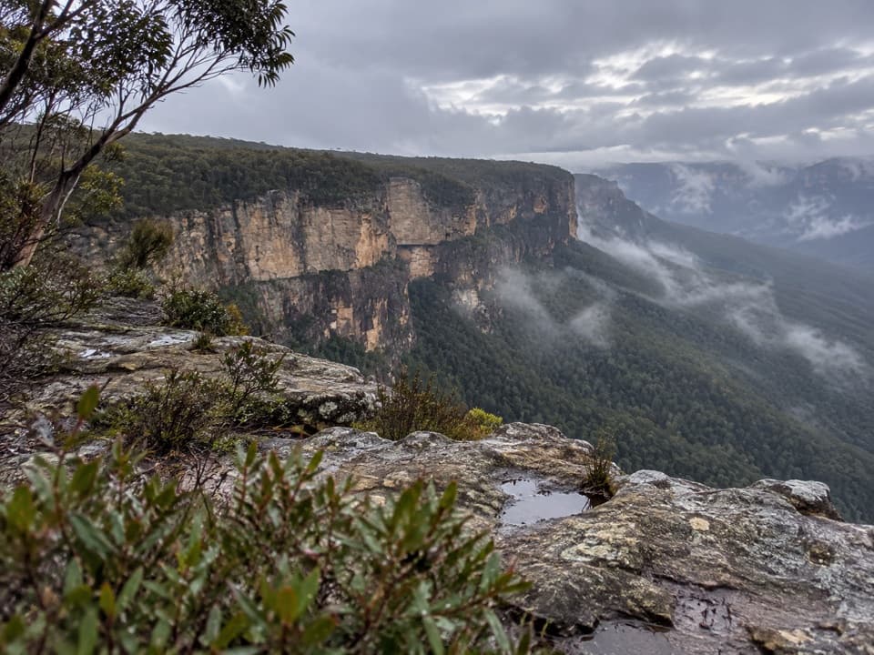 ModerateButterbox Point walking track3.3 km · 1.5 hr · 4.7 km awayGrose Valley views and ironstone shapes from a short ridge walk.
 Sight · 1.2 km awayFortress Rock LookoutA rugged, unfenced lookout over the Grose Valley.
 Sight · 3.5 km awayLockley PylonA rocky summit with a full sweep across the Grose Valley.
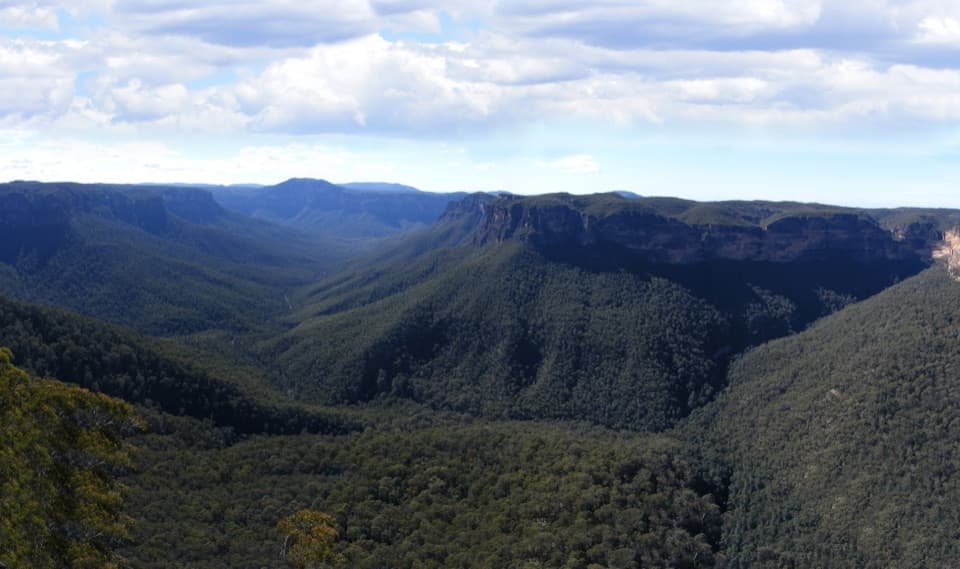 Sight · 3.7 km awayEvans lookoutA short, step-free stop above the forested Grose Valley.
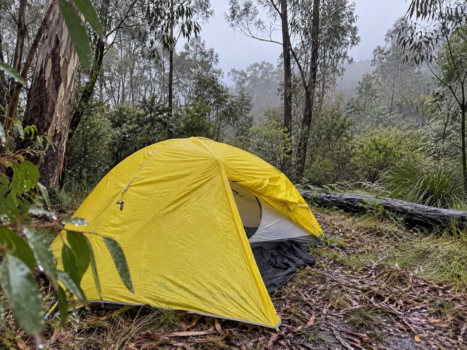 Campground · 5 km awayAcacia Flat campgroundA remote tent camp beside Blue Gum Forest.
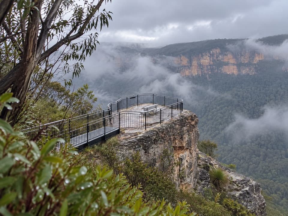 Sight · 5.3 km awayPulpit Rock lookoutStep down the rock blade for wide Grose Valley views.Sight · 5.5 km awayBlue Gum ForestWalk into the grove bushwalkers saved from the axe in 1931.
 Sight · 5.9 km awayGovetts Leap lookoutSee the Grose Valley's cliffs without setting off on a bushwalk.
 Visitor center · 6.1 km awayBlue Mountains Heritage CentreWalk advice, free PLB hire and a VR peek at Wollemi pines.
Parkwolf’s Blue Mountains ranking

The audio tour guide for the drive, plus offline maps, trails, and wildlife heatmaps for when the signal drops.



