Parking
Start at the car park off Mount Hay Road. Its capacity, fees and amenities were not confirmed.
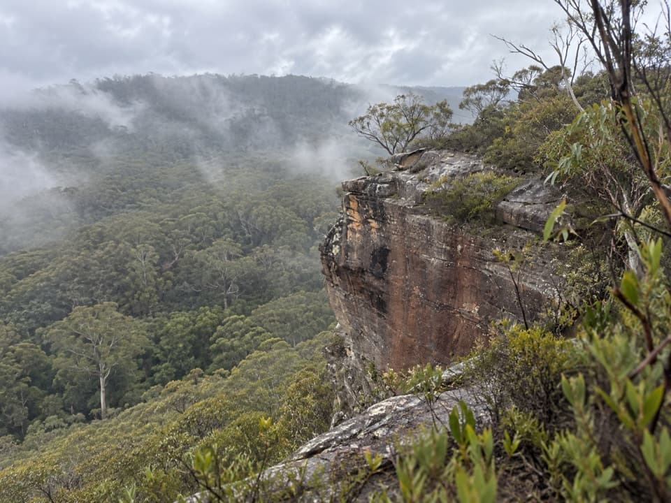
Blue Mountains National Park, NSW
A short, steep climb buys a wide Grose Valley outlook.
Overview
Map & elevation
Plan your hike

The highest, rockiest slopes around here are a summer buffet for grizzly bears.
Blue Mountains Tour Guide
Parkwolf is a GPS audio tour guide for Blue Mountains National Park. As you drive, it chimes in with what’s ahead: hidden gems, upcoming stops, history, geology, and wildlife, right through your car’s speakers.
See the Blue Mountains audio tourRecorded for this trailhead
The Walk to Lockley Pylon“You're coming up on the start of the Lockley Pylon walk, a good choice for a rocky summit above the Grose Valley.”
Plays as you drive up to this trailhead in the Parkwolf Blue Mountains Tour Guide.
More stories near here in the app
“Fantastic app with many points of information… It’s great to just turn on while you’re driving and it gives you an audio tour of the national Park. We love it!!!!”


Trail guide
Flat Top Walk is a 1 km return (out-and-back) from the Mount Hay Road car park to the trig station on Flat Top. It is a quick way to earn a broad view over the Grose Valley, Mount Hay and Lockley Pylon. Allow 30 to 45 minutes with a pause at the top; this is a short climb, not a level stroll.
The unpaved track heads south from the roadside access, with sandy tread for much of the way and rockier footing on the steeper ground near the summit. Take your time where the path roughens. The route is short enough to turn around if the climb feels like more effort than you wanted.
The summit opens to a near-360-degree view across the surrounding valleys and ridges. Look for the Grose Valley, Mount Hay and Lockley Pylon. From the rocky edge, include some of the sandstone foreground with the forested valley behind it to show how the lookout sits above the bush.
Start at the car park off Mount Hay Road; its capacity and facilities have not been confirmed. Dogs and other pets are not permitted in NSW national parks.
Wildlife
 58 sightingsGrey KangarooMost seen around 6 AMSighting map
 43 sightingsWombatMost seen around 6 PMSighting map
 18 sightingsRed-necked WallabyMost seen around 6 PMSighting map
 53 sightingsSwamp WallabyMost seen around 7 AMSighting map
 23 sightingsBrushtail PossumMost seen around 7 PMSighting map
 30 sightingsRing-tailed PossumMost seen around 7 PMSighting map
Sighting maps show where each species has been reported across Blue Mountains. Wildlife moves, so no sighting is guaranteed.
Keep exploring
 ModerateLockley Pylon walking track7 km · 2.5 hr · 0.2 km awayA rocky heath walk pays off with a huge Grose Valley view.
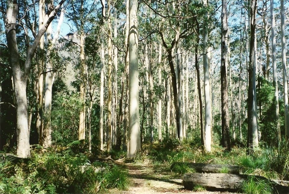 ChallengingBlue Gum Forest via Lockley Pylon11.8 km · 6 hr · 0.2 km awayPylon panoramas give way to a steep descent into blue gum forest.
 ModerateFortress Ridge walking track7.4 km · 3 hr · 0.9 km awayWide Grose Valley views reward a rugged ridge walk.
 ChallengingDr Dark's Cave Walk3.2 km · 2 hr · 0.9 km awayA steep, unsigned scramble to a storied sandstone overhang.
 ModerateFortress Rock Lookout Walk2.9 km · 1.5 hr · 0.9 km awayOrange cliffs over the Grose Valley, on a short walk.
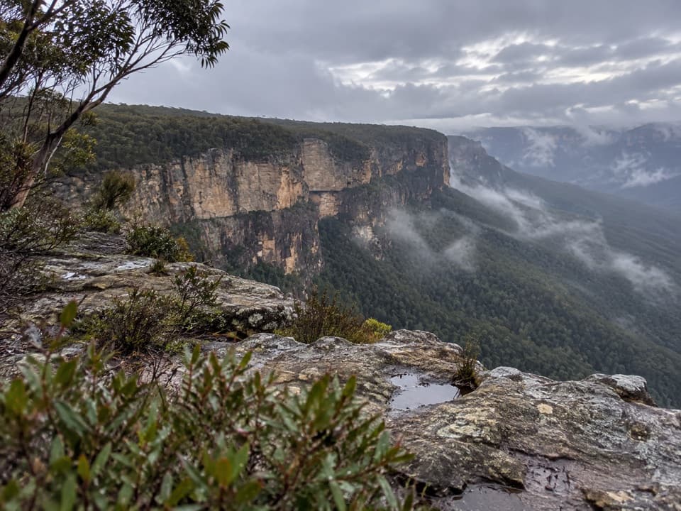 ModerateButterbox Point walking track3.3 km · 1.5 hr · 3.9 km awayGrose Valley views and ironstone shapes from a short ridge walk.
 ChallengingMount Hay summit walking track3.3 km · 2.5 hr · 3.9 km awaySteep climb to a forested summit above the Grose Valley.
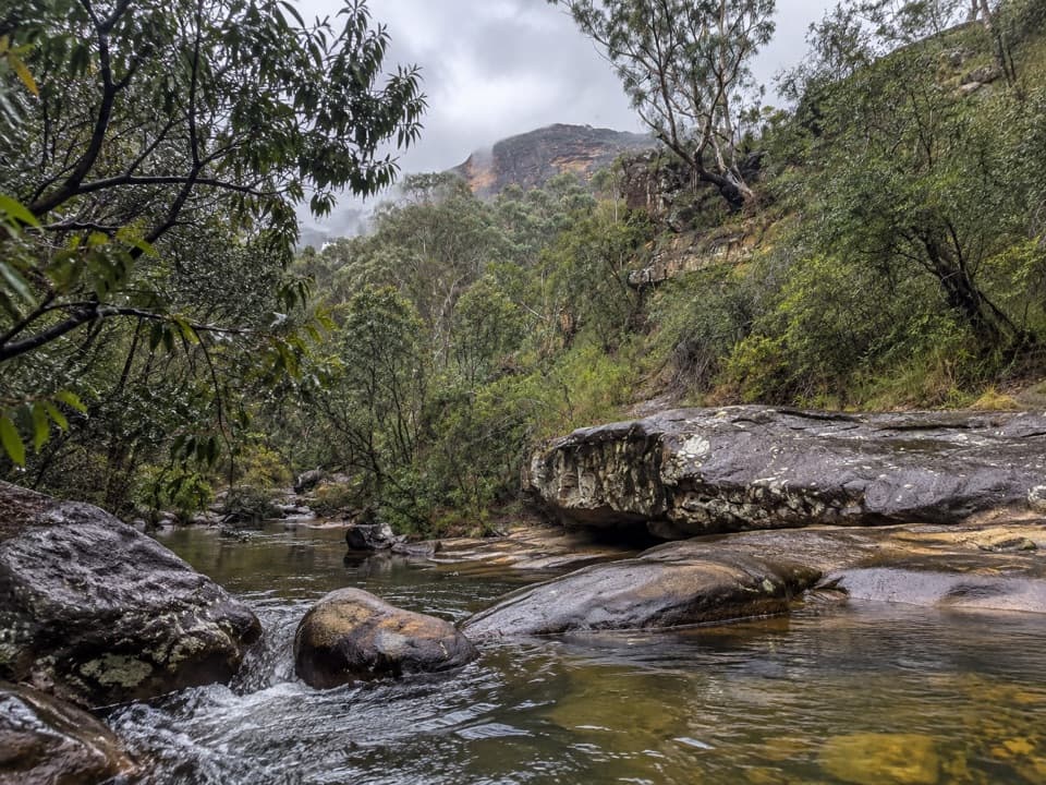 ModerateHorse Track to Junction Rock7.8 km · 4.5 hr · 4.2 km awayStair-heavy descent to cascades and pools at Junction Rock.
 Sight · 1.5 km awayFortress Rock LookoutA rugged, unfenced lookout over the Grose Valley.
 Sight · 3 km awayLockley PylonA rocky summit with a full sweep across the Grose Valley.
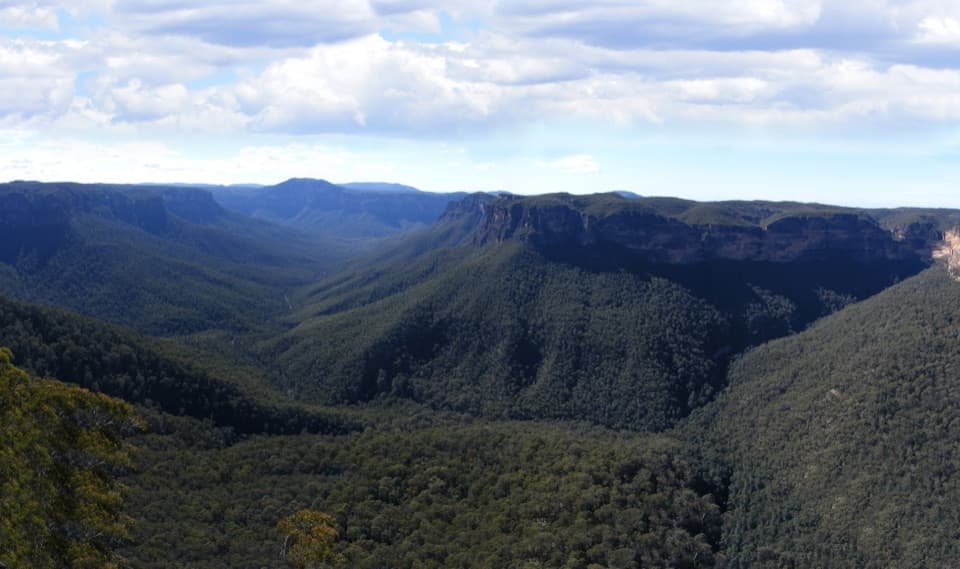 Sight · 4.1 km awayEvans lookoutA short, step-free stop above the forested Grose Valley.
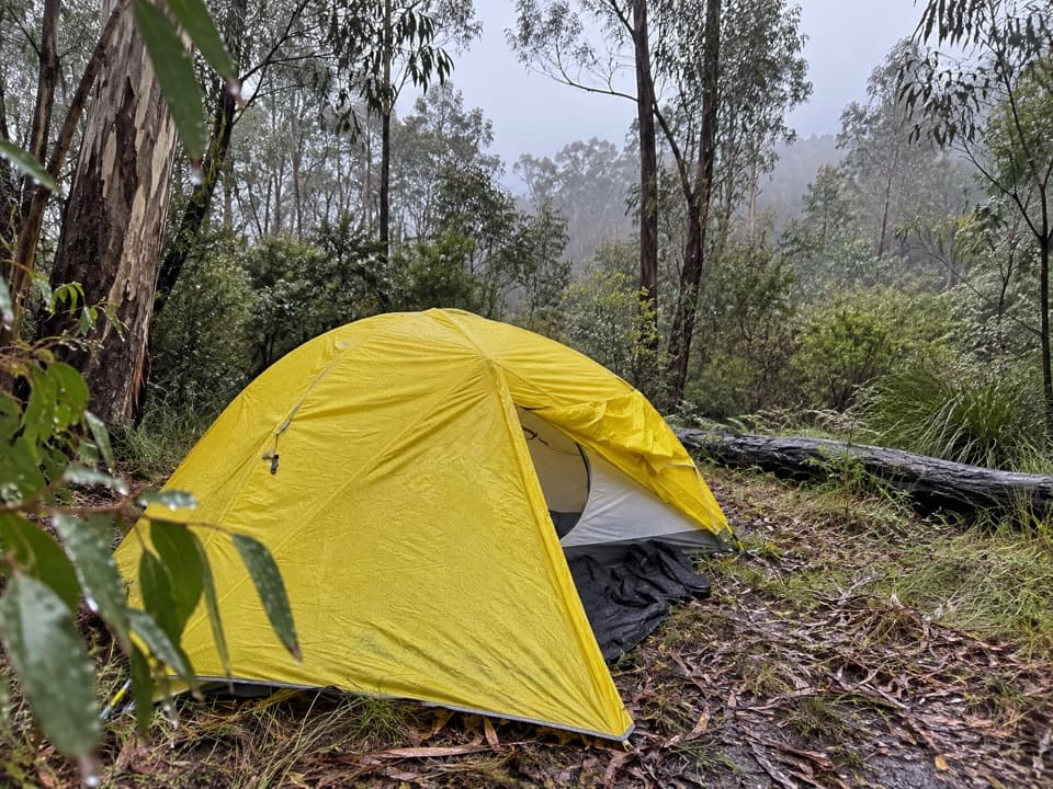 Campground · 4.4 km awayAcacia Flat campgroundA remote tent camp beside Blue Gum Forest.Sight · 4.9 km awayBlue Gum ForestWalk into the grove bushwalkers saved from the axe in 1931.
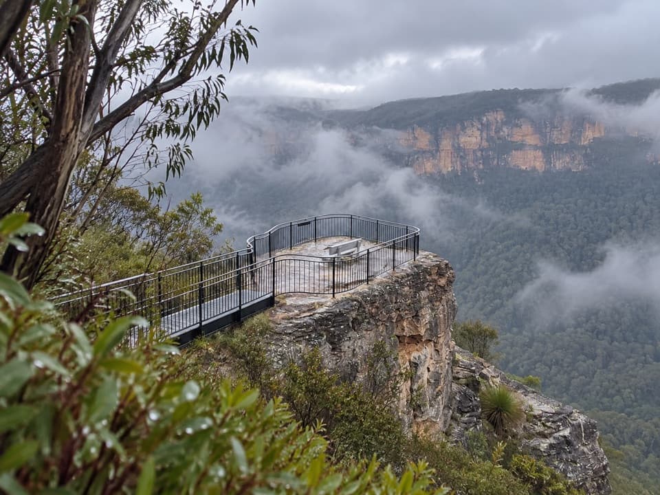 Sight · 5.1 km awayPulpit Rock lookoutStep down the rock blade for wide Grose Valley views.
 Sight · 6 km awayGovetts Leap lookoutSee the Grose Valley's cliffs without setting off on a bushwalk.
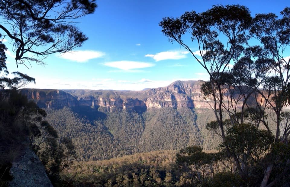 Sight · 6.2 km awayPerrys LookdownBig Grose Valley views, with the Blue Gum Forest far below.
Parkwolf’s Blue Mountains ranking

The audio tour guide for the drive, plus offline maps, trails, and wildlife heatmaps for when the signal drops.




