Parking
Use Fortress Ridge Carpark on Mount Hay Road. The approach has sealed and unsealed sections; the park lists 2WD access.

#10 of 110 trails in Blue Mountains
Blue Mountains National Park, NSW
Wide Grose Valley views reward a rugged ridge walk.
Overview
Map & elevation
Plan your hike

The highest, rockiest slopes around here are a summer buffet for grizzly bears.
Blue Mountains Tour Guide
Parkwolf is a GPS audio tour guide for Blue Mountains National Park. As you drive, it chimes in with what’s ahead: hidden gems, upcoming stops, history, geology, and wildlife, right through your car’s speakers.
See the Blue Mountains audio tourRecorded for this trailhead
Fortress Rock from Fortress Ridge Car Park“Up ahead is Fortress Ridge car park, where Fortress Rock makes a shorter outing of about three kilometres return and an hour and a half.”
Plays as you drive up to this trailhead in the Parkwolf Blue Mountains Tour Guide.
More stories near here in the app
“Fantastic app with many points of information… It’s great to just turn on while you’re driving and it gives you an audio tour of the national Park. We love it!!!!”


Trail guide
Fortress Ridge is a 7.4 km out-and-back from Fortress Ridge Carpark to a rocky lookout above the Grose Valley. It suits hikers looking for a half-day bush walk and a broad sandstone panorama, rather than a quick roadside stop. Allow about three hours for the stony approach, the undulating ridge track and the return. It is a moderate outing, with a short steeper start and rougher rock near the end.
Published descriptions put the standalone ridge walk between 6.2 and 7.4 km return. The connected route mapped here runs about 3.7 km each way from the carpark to the lookout vicinity, so this guide uses the longer 7.4 km figure for planning. The exact measured endpoint varies between route accounts; allow for the longer distance and don’t add the nearby side trips to this estimate.
The walk begins on a broad, stony fire trail. It climbs briefly, then eases. At about 700 m, an unmarked junction splits the routes: go straight for Fortress Ridge. The left branch heads to Fortress Rock, a separate lookout walk. Dr Dark’s Cave and Fortress Creek are separate side trips too, not part of the ridge distance.
Beyond the junction, the track rolls along the ridge rather than climbing steadily. The first views are glimpses through the bush. They open up after a small rise and another fork, so don’t turn back just because the start feels enclosed. Keep to the main track as the rocky outcrop approaches; the last spur is short and easy to overlook.
A faint spur on the right near the end leads to the rocky terminal lookout. From there, the forested Grose Valley drops away below sandstone walls; Lockleys Pylon stands across the valley, Mount Banks sits farther back, and Govetts Creek winds below. The final ground is uneven and close to an exposed drop. Stop at the established lookout line rather than following any trace beyond it.
For a photo, keep some of the sandstone ledge in the foreground with the valley and cliffs beyond. It gives the view a sense of scale; there’s no reason to step closer to the edge.
Begin at Fortress Ridge Carpark on Mount Hay Road. The approach includes sealed and unsealed sections, though the park lists 2WD access. The carpark is the right starting point for the distance above; nearby trail names can refer to a different branch from the same access. Pets and domestic animals are not permitted in Blue Mountains National Park, except certified assistance animals.
Wildlife
 58 sightingsGrey KangarooMost seen around 6 AMSighting map
 43 sightingsWombatMost seen around 6 PMSighting map
 18 sightingsRed-necked WallabyMost seen around 6 PMSighting map
 53 sightingsSwamp WallabyMost seen around 7 AMSighting map
 23 sightingsBrushtail PossumMost seen around 7 PMSighting map
 30 sightingsRing-tailed PossumMost seen around 7 PMSighting map
Sighting maps show where each species has been reported across Blue Mountains. Wildlife moves, so no sighting is guaranteed.
Keep exploring
 ChallengingDr Dark's Cave Walk3.2 km · 2 hr · At the trailheadA steep, unsigned scramble to a storied sandstone overhang.
 ModerateFortress Rock Lookout Walk2.9 km · 1.5 hr · At the trailheadOrange cliffs over the Grose Valley, on a short walk.
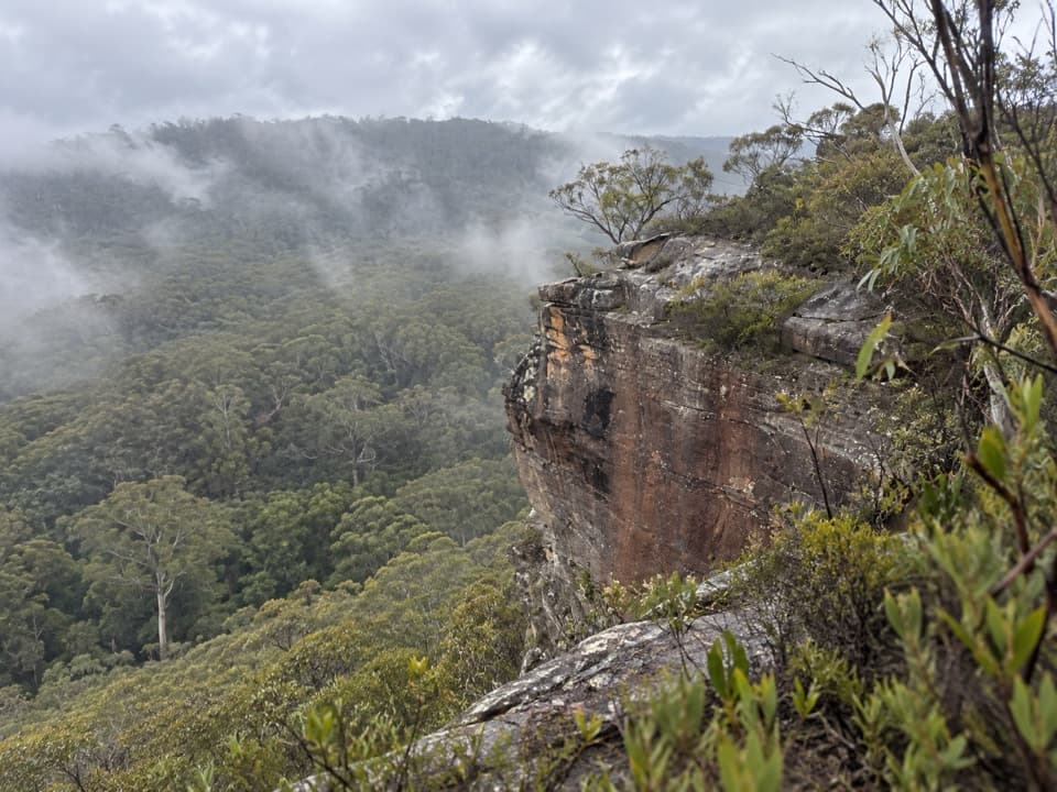 ModerateFlat Top Walk1 km · 36 min · 0.9 km awayA short, steep climb buys a wide Grose Valley outlook.
 ModerateLockley Pylon walking track7 km · 2.5 hr · 1 km awayA rocky heath walk pays off with a huge Grose Valley view.
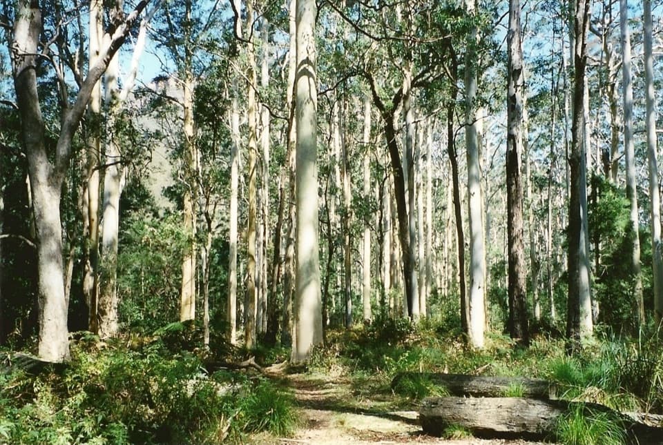 ChallengingBlue Gum Forest via Lockley Pylon11.8 km · 6 hr · 1 km awayPylon panoramas give way to a steep descent into blue gum forest.
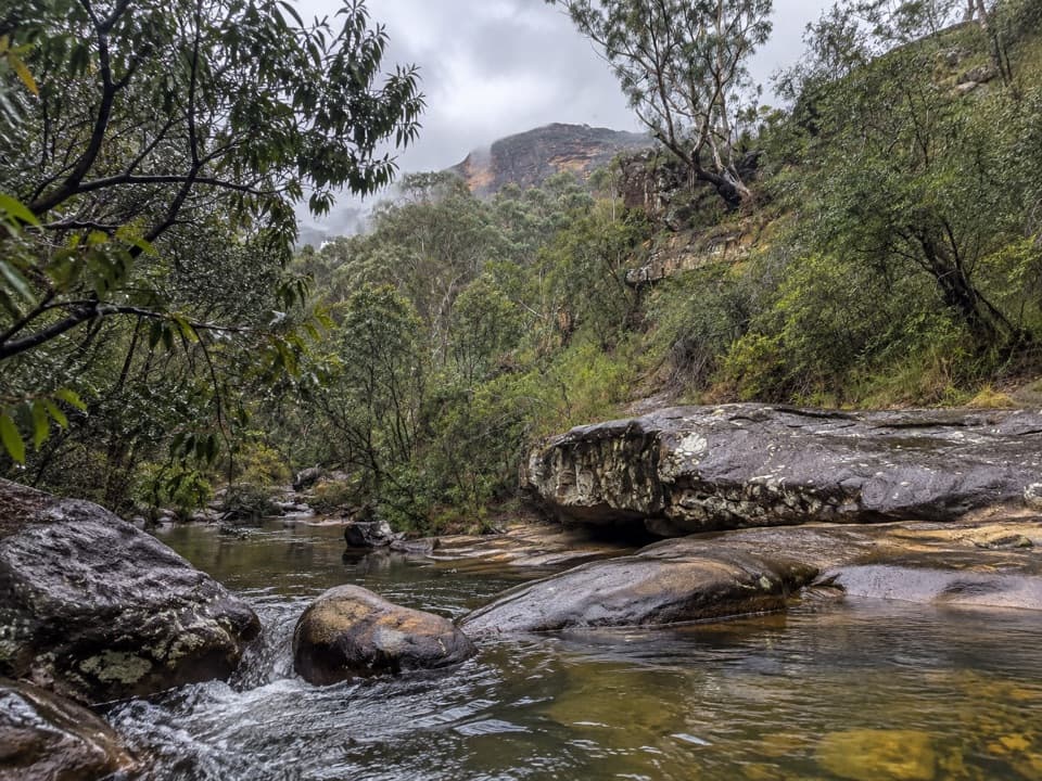 ModerateHorse Track to Junction Rock7.8 km · 4.5 hr · 3.8 km awayStair-heavy descent to cascades and pools at Junction Rock.
 ModerateGrand Canyon track6.3 km · 3.5 hr · 4.2 km awayA ferny creek gorge, waterfalls and sandstone slots in one loop.
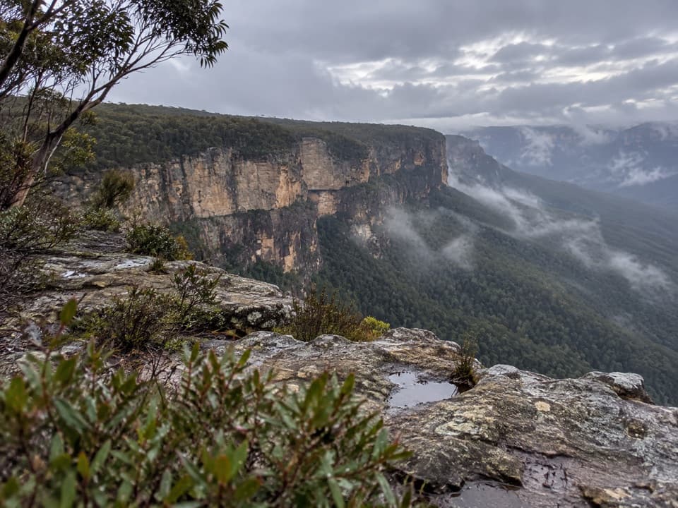 ModerateButterbox Point walking track3.3 km · 1.5 hr · 4.7 km awayGrose Valley views and ironstone shapes from a short ridge walk.
 Sight · 1.2 km awayFortress Rock LookoutA rugged, unfenced lookout over the Grose Valley.
 Sight · 3.5 km awayLockley PylonA rocky summit with a full sweep across the Grose Valley.
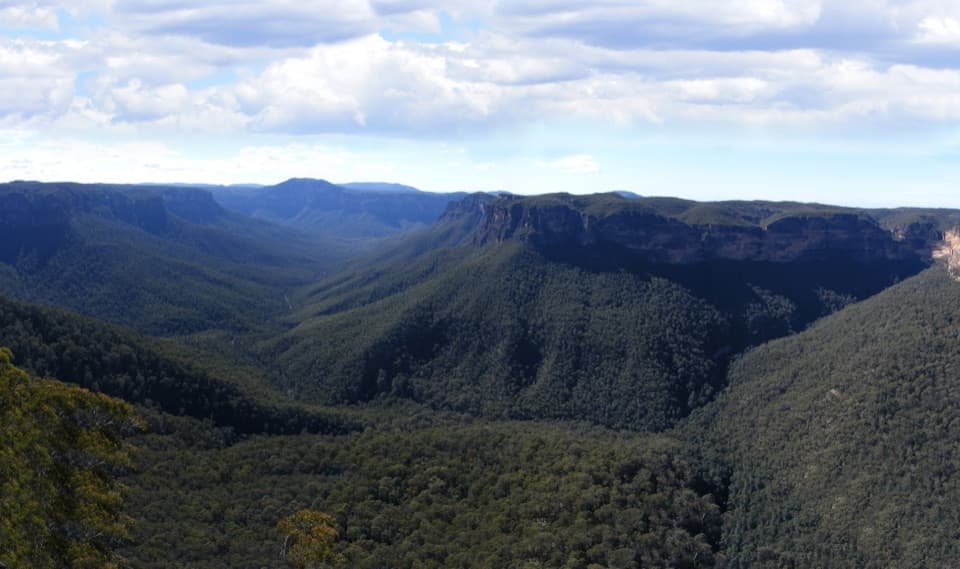 Sight · 3.7 km awayEvans lookoutA short, step-free stop above the forested Grose Valley.
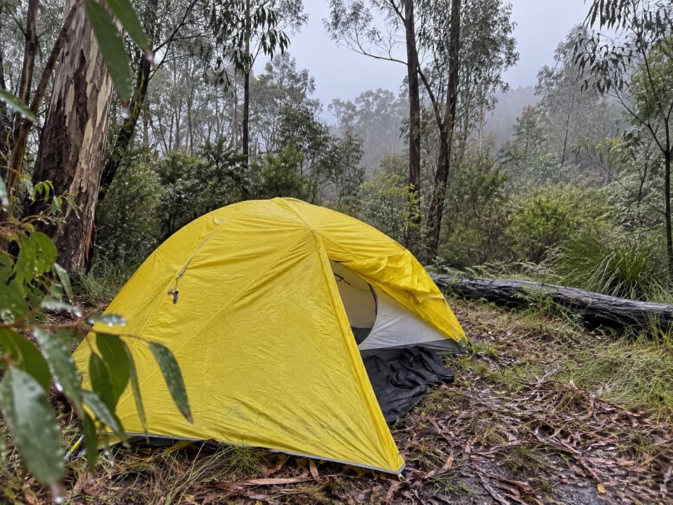 Campground · 5 km awayAcacia Flat campgroundA remote tent camp beside Blue Gum Forest.
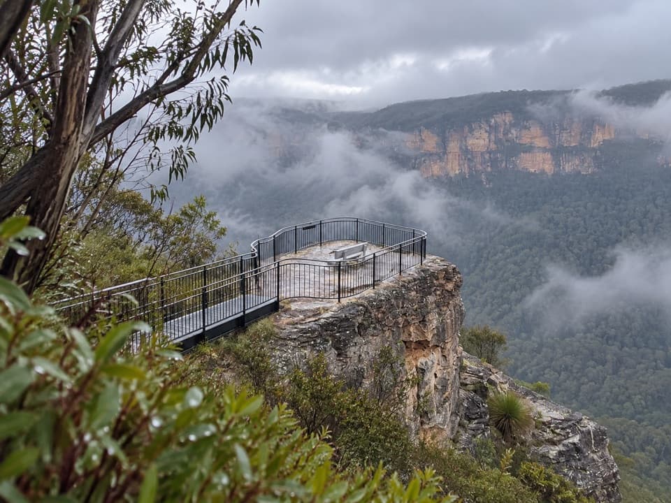 Sight · 5.3 km awayPulpit Rock lookoutStep down the rock blade for wide Grose Valley views.Sight · 5.5 km awayBlue Gum ForestWalk into the grove bushwalkers saved from the axe in 1931.
 Sight · 5.9 km awayGovetts Leap lookoutSee the Grose Valley's cliffs without setting off on a bushwalk.
 Visitor center · 6.1 km awayBlue Mountains Heritage CentreWalk advice, free PLB hire and a VR peek at Wollemi pines.
Parkwolf’s Blue Mountains ranking

The audio tour guide for the drive, plus offline maps, trails, and wildlife heatmaps for when the signal drops.



