Parking
Use the Govetts Leap lookout car park. Weekend parking can be limited; Blue Mountains Heritage Centre is an alternative, about 500 m from the lookout on foot.

#11 of 110 trails in Blue Mountains
Blue Mountains National Park, NSW
A stepped cliff-edge walk with Grose Valley and waterfall views.
Overview
Map & elevation
Plan your hike

The highest, rockiest slopes around here are a summer buffet for grizzly bears.
Blue Mountains Tour Guide
Parkwolf is a GPS audio tour guide for Blue Mountains National Park. As you drive, it chimes in with what’s ahead: hidden gems, upcoming stops, history, geology, and wildlife, right through your car’s speakers.
See the Blue Mountains audio tourRecorded for this trailhead
Govetts Leap and Bridal Veil Falls“Govetts Leap lookout is coming up, with sandstone walls enclosing the Grose Valley and Bridal Veil Falls dropping about a hundred and eighty metres down the cliff.”
Plays as you drive up to this trailhead in the Parkwolf Blue Mountains Tour Guide.
More stories near here in the app
“Fantastic app with many points of information… It’s great to just turn on while you’re driving and it gives you an audio tour of the national Park. We love it!!!!”


Trail guide
Cliff Top walking track is a 3.7-mile (6 km) out-and-back from Govetts Leap lookout to Evans lookout and back. The formed, clearly signposted path follows the edge of the Grose Valley and takes about 3 to 3½ hours. It has many steps and short steep hills, so plan for a steady, moderately demanding walk; leave time to pause at the lookouts and turn around at Evans.
The track leaves Govetts Leap lookout and winds through windswept heath above the valley. Expect repeated climbs and descents on formed tread, with earthen sections and flights of stone or timber-edged steps. Views of sandstone walls and forest open between the trees. This is more work than the modest distance suggests, especially on the return.
The route crosses Govetts Leap Brook and passes the Braeside walking track junction before reaching Evans. At Barrow lookout, turn back toward Govetts Leap for a view of the falls dropping over the escarpment. It is the walk's signature view and a good reason to pause before continuing.
The exposed ridge carries she-oaks, banksias and stunted mallee. Spring brings wildflowers through the heath, with nectar-feeding white-naped honeyeaters among the birds to watch for. Yellow-tailed black cockatoos and king parrots are also seen in this area.
Evans is the far end of the walk and the place to rest before retracing the same route. Both lookouts have toilets and picnic facilities; bring water and, if you want lunch at the turnaround, pack it before leaving. Ordinary pets are prohibited in the national park; certified assistance animals are the exception.
Wildlife
 58 sightingsGrey KangarooMost seen around 6 AMSighting map
 43 sightingsWombatMost seen around 6 PMSighting map
 18 sightingsRed-necked WallabyMost seen around 6 PMSighting map
 53 sightingsSwamp WallabyMost seen around 7 AMSighting map
 23 sightingsBrushtail PossumMost seen around 7 PMSighting map
 30 sightingsRing-tailed PossumMost seen around 7 PMSighting map
Sighting maps show where each species has been reported across Blue Mountains. Wildlife moves, so no sighting is guaranteed.
Keep exploring
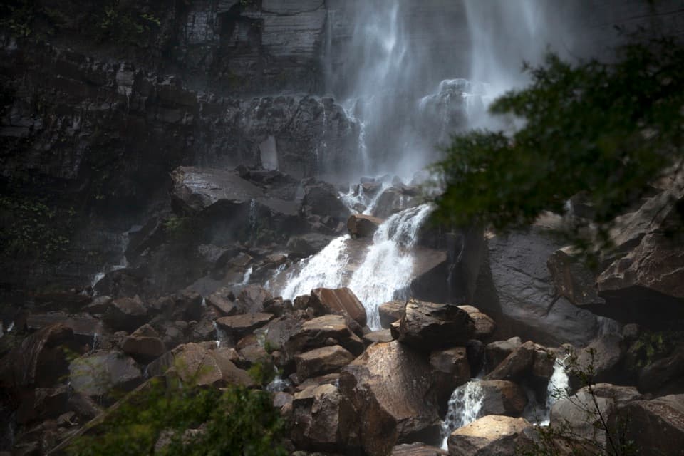 ChallengingGovetts Leap descent1.8 km · 1.5 hr · At the trailheadA steep 1.8 km return walk to the falls and back.
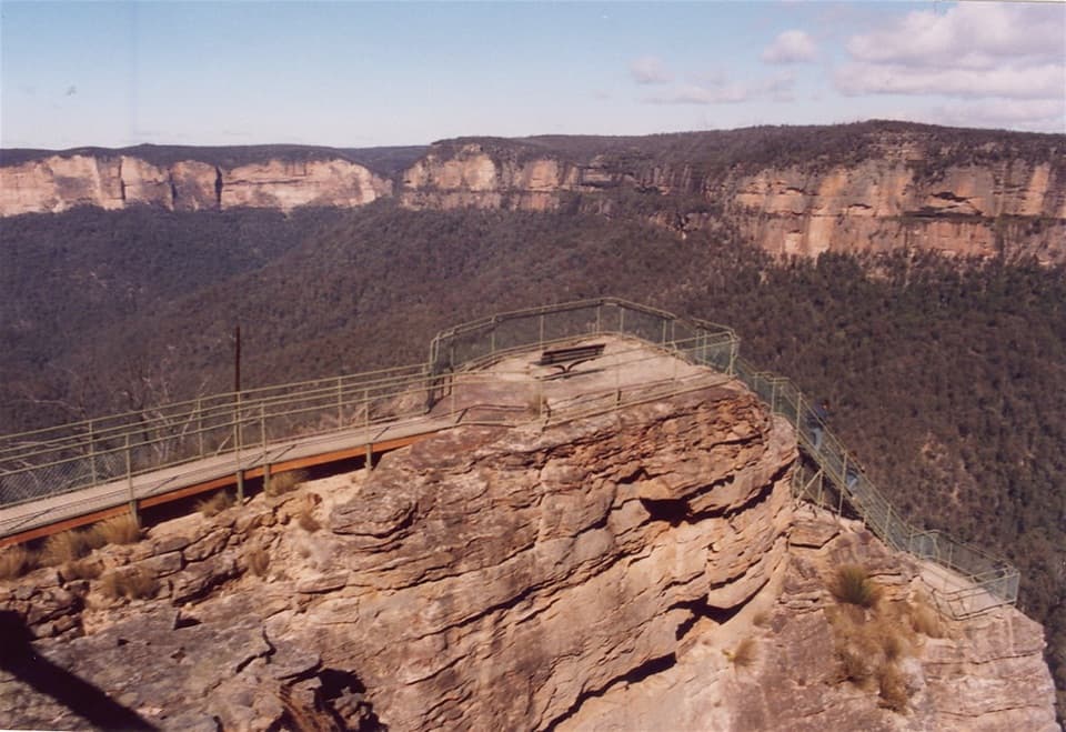 ModeratePulpit walking track7 km · 2.5 hr · At the trailheadA cliffline walk to an isolated sandstone blade above the Grose Valley.
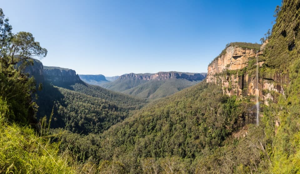 ChallengingRodriguez Pass walking track12 km · 5.5 hr · At the trailheadA full-day loop linking waterfalls, a canyon floor and cliff-top views
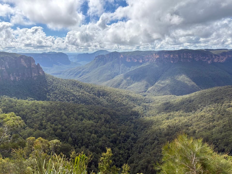 EasyFairfax Heritage walking track3.6 km · 1.3 hr · 0.5 km awayAn easy sealed walk to two Grose Valley lookouts.
 ModerateBraeside walking track2.5 km · 1.3 hr · 1.5 km awayA quiet creekside walk to a waterfall view over Grose Valley.
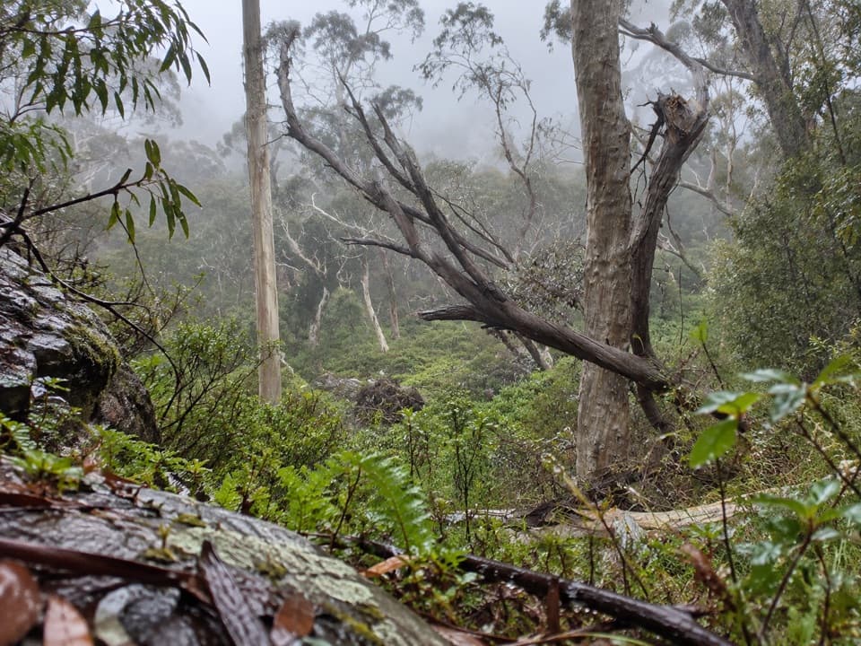 ModeratePopes Glen Track3 km · 1.5 hr · 1.7 km awayA ferny creek route that climbs to the Grose Valley rim.
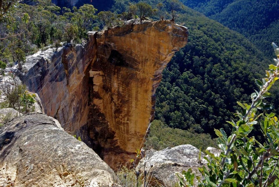 ModerateBurramoko Ridge (Hanging Rock) Trail10 km · 4 hr · 2.2 km awayA long ridge fire trail ends above the Grose Valley.
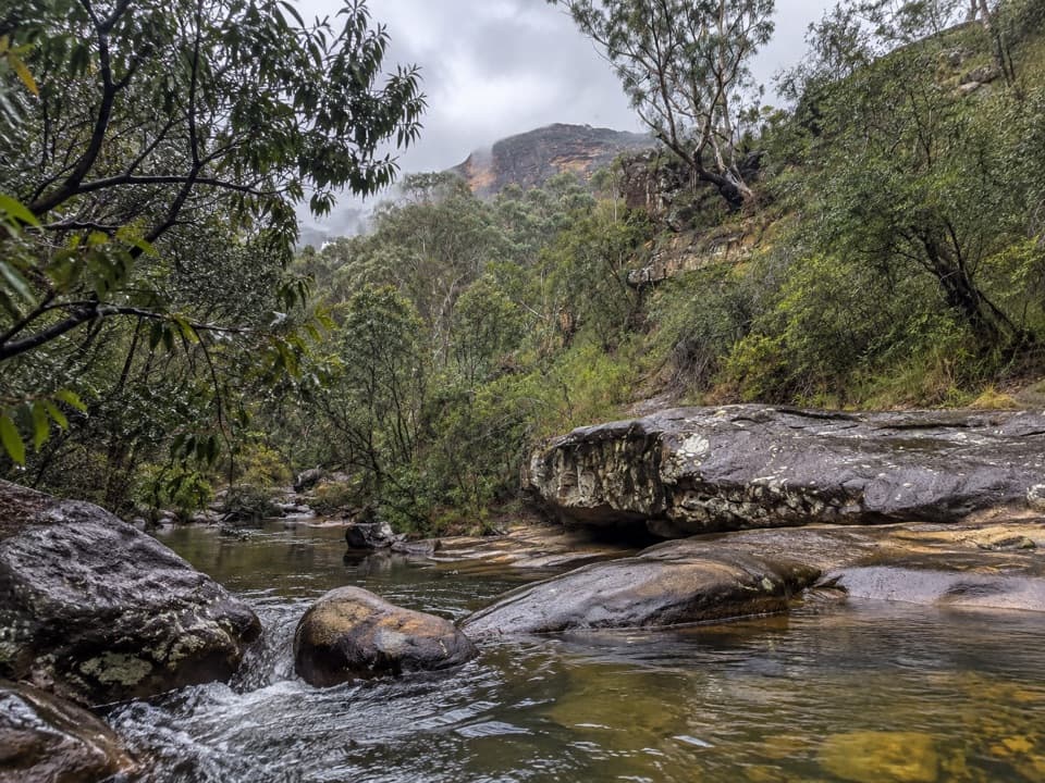 ModerateHorse Track to Junction Rock7.8 km · 4.5 hr · 2.4 km awayStair-heavy descent to cascades and pools at Junction Rock.
 Sight · At the trailheadGovetts Leap lookoutSee the Grose Valley's cliffs without setting off on a bushwalk.
 Visitor center · 0.5 km awayBlue Mountains Heritage CentreWalk advice, free PLB hire and a VR peek at Wollemi pines.
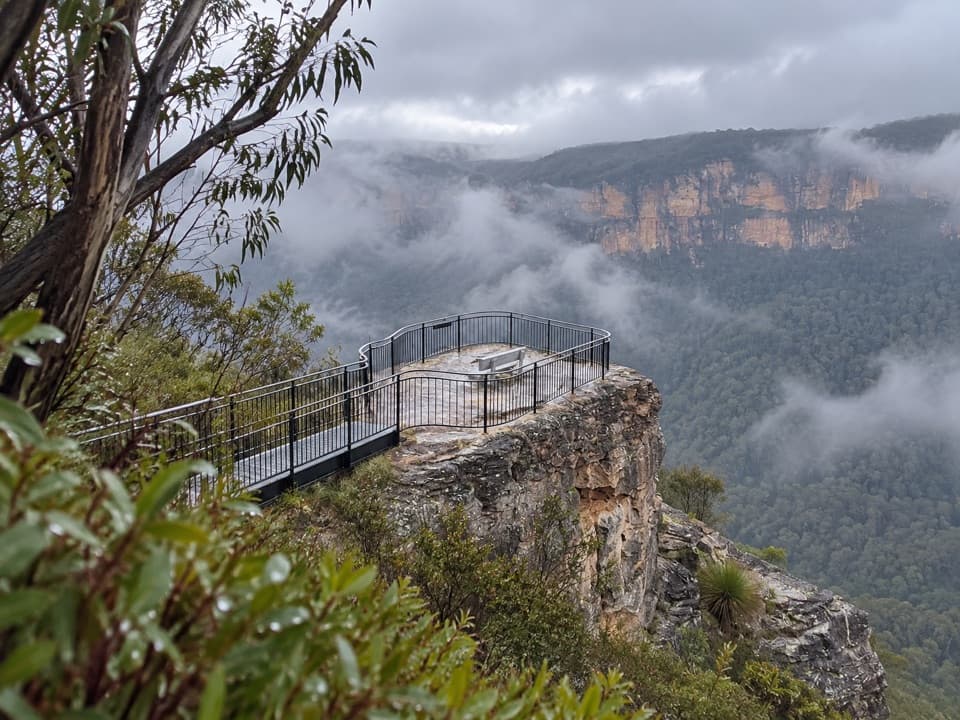 Sight · 1.7 km awayPulpit Rock lookoutStep down the rock blade for wide Grose Valley views.
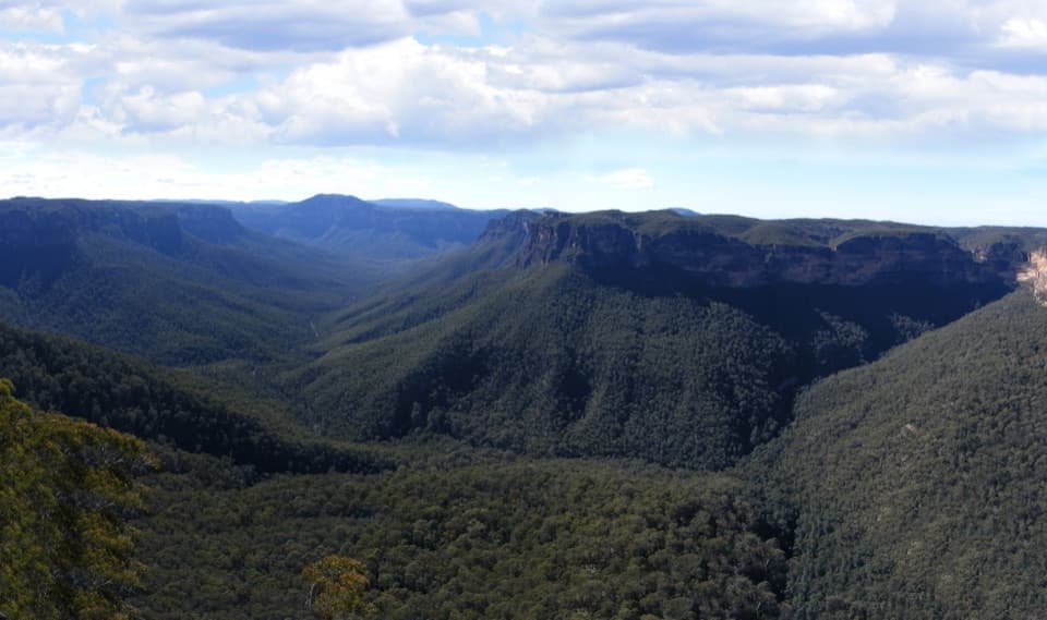 Sight · 2.5 km awayEvans lookoutA short, step-free stop above the forested Grose Valley.
 Sight · 4.2 km awayLockley PylonA rocky summit with a full sweep across the Grose Valley.
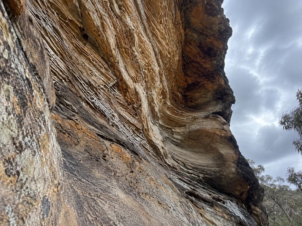 Sight · 4.3 km awayWind Eroded CaveA short stop for wave-shaped sandstone and a Grose Gorge view.
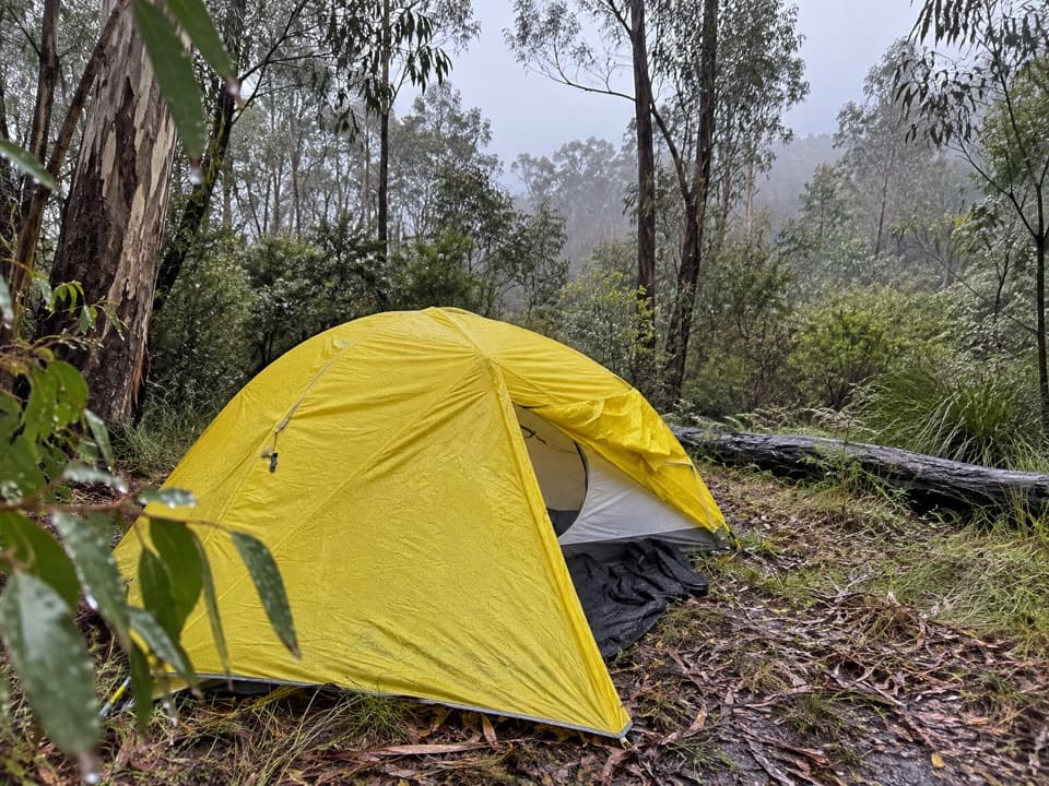 Campground · 4.4 km awayAcacia Flat campgroundA remote tent camp beside Blue Gum Forest.
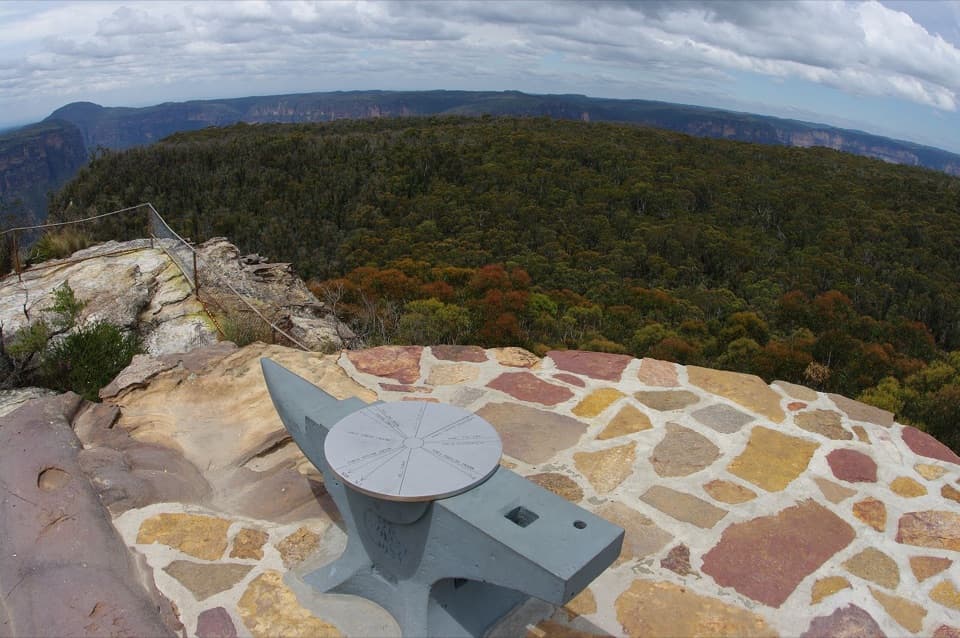 Sight · 4.4 km awayAnvil RockA real anvil, a real story, and a wide Grose Valley view.
Parkwolf’s Blue Mountains ranking

The audio tour guide for the drive, plus offline maps, trails, and wildlife heatmaps for when the signal drops.





