Parking
Start at the signed Dell Street entrance. Road parking near Govetts Leap Road and Prince Edward Street is the suggested drive-in access; no dedicated trailhead lot or capacity was found.
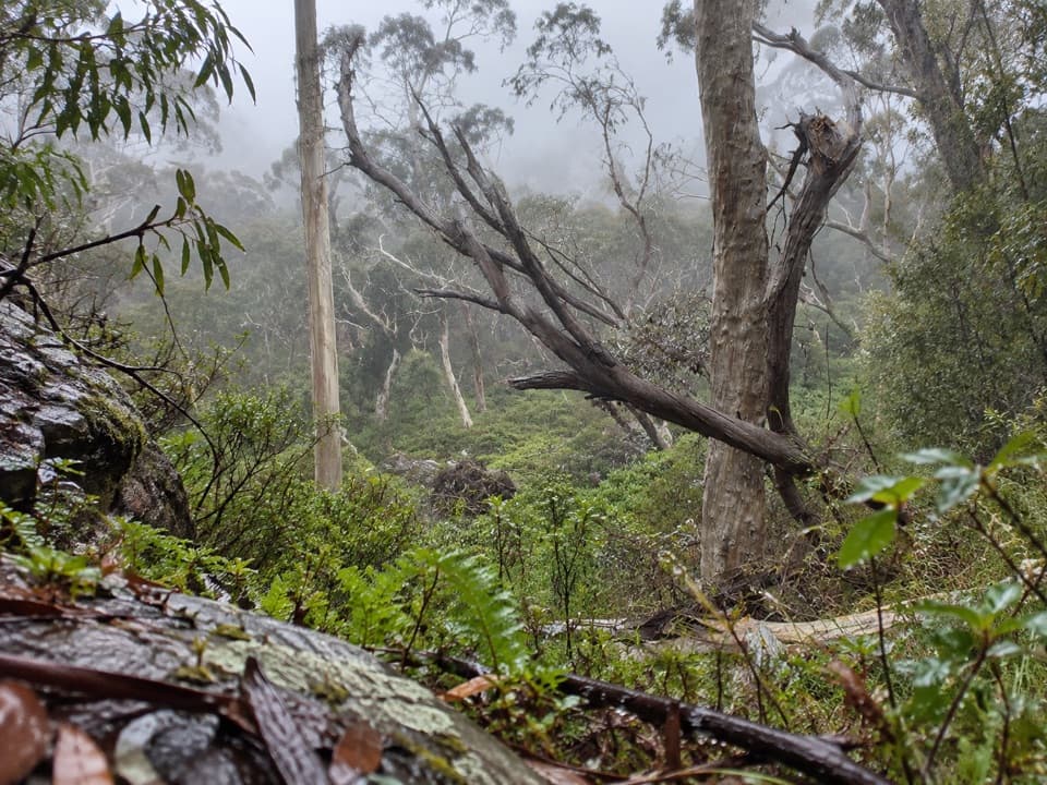
Blue Mountains National Park, NSW
A ferny creek route that climbs to the Grose Valley rim.
Overview
Map & elevation
Plan your hike

The highest, rockiest slopes around here are a summer buffet for grizzly bears.
Blue Mountains Tour Guide
Parkwolf is a GPS audio tour guide for Blue Mountains National Park. As you drive, it chimes in with what’s ahead: hidden gems, upcoming stops, history, geology, and wildlife, right through your car’s speakers.
See the Blue Mountains audio tourRecorded for this area
Baltzer Lookout and Hanging Rock“You're approaching the Ridgewell Road access for Baltzer Lookout and Hanging Rock. From the gate, it's a ten kilometre return walk of about four hours, mostly along a broad fire trail with the big view saved for the end.”
Plays on the road 1 km from the trailhead in the Parkwolf Blue Mountains Tour Guide.
More stories near here in the app
“Fantastic app with many points of information… It’s great to just turn on while you’re driving and it gives you an audio tour of the national Park. We love it!!!!”


Trail guide
Popes Glen Track is a 3 km, one-way walk from the signed Dell Street entrance in Blackheath to Govetts Leap lookout. It descends into the ferny Popes Glen valley, follows the creek across several small bridges, then climbs steeply to the escarpment for views over the upper Grose Valley. Allow about 1½ hours one way. Arrange a pickup, or reverse the route for roughly 6 km and another climb out of the valley.
The opening path is narrow, unsealed dirt and gently descends. By the creek, ferns crowd the damp understory and the path crosses the water several times on small bridges. Ignore early side tracks that climb out toward nearby streets. A signed spur drops to Boyds Beach, a small sandy patch beside a pool; continue on the main track past a rock pagoda and a small waterfall.
At the Pulpit Rock Track junction, take the branch toward Govetts Leap, not the route to Pulpit Rock. The climb out of the glen is steep; several lookouts break it up with views across the Grose Valley. The walk ends at Govetts Leap lookout, where seats and picnic shelters make a good place to pause before your ride back.
Enter from the signed Dell Street track entrance. Road parking near Govetts Leap Road and Prince Edward Street avoids the walk down from Blackheath Station; no dedicated trailhead lot or capacity was found. The narrow dirt tread is harder underfoot when wet. Dogs are not allowed on the national park route.
Wildlife
 58 sightingsGrey KangarooMost seen around 6 AMSighting map
 43 sightingsWombatMost seen around 6 PMSighting map
 18 sightingsRed-necked WallabyMost seen around 6 PMSighting map
 53 sightingsSwamp WallabyMost seen around 7 AMSighting map
 23 sightingsBrushtail PossumMost seen around 7 PMSighting map
 30 sightingsRing-tailed PossumMost seen around 7 PMSighting map
Sighting maps show where each species has been reported across Blue Mountains. Wildlife moves, so no sighting is guaranteed.
Keep exploring
 ChallengingBlackheath to Mount Victoria via Grose Valley29.1 km · 12.1 hr · 0.9 km awayA long crossing of the Grose Valley through Blue Gum Forest.
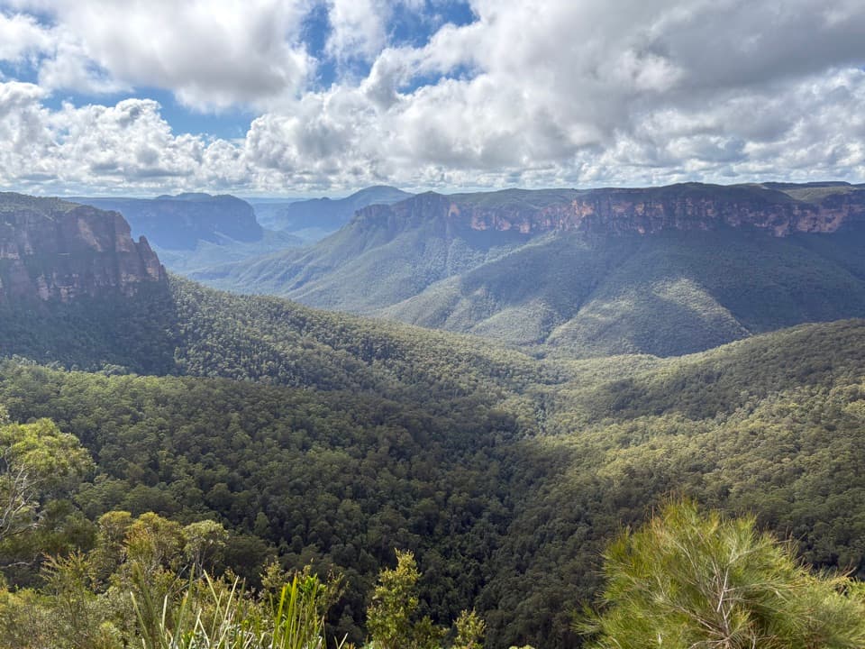 EasyFairfax Heritage walking track3.6 km · 1.3 hr · 1.2 km awayAn easy sealed walk to two Grose Valley lookouts.
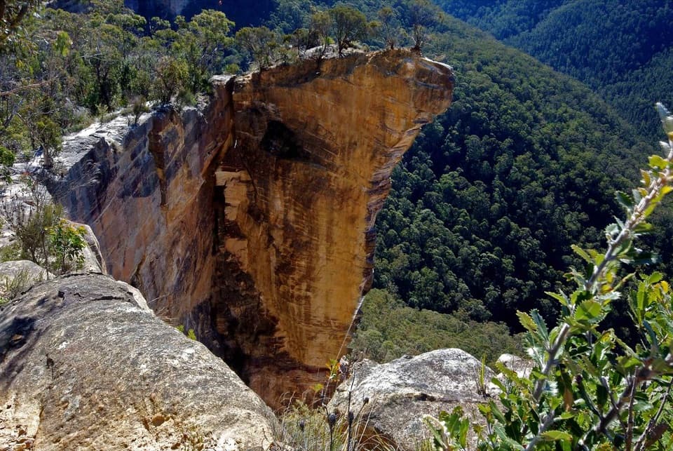 ModerateBurramoko Ridge (Hanging Rock) Trail10 km · 4 hr · 1.3 km awayA long ridge fire trail ends above the Grose Valley.
 ModerateBraeside walking track2.5 km · 1.3 hr · 1.4 km awayA quiet creekside walk to a waterfall view over Grose Valley.
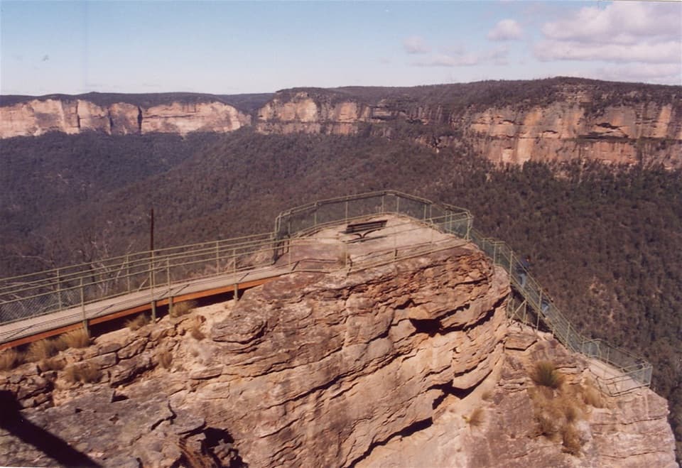 ModeratePulpit walking track7 km · 2.5 hr · 1.7 km awayA cliffline walk to an isolated sandstone blade above the Grose Valley.
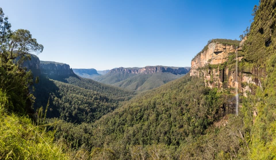 ChallengingRodriguez Pass walking track12 km · 5.5 hr · 1.7 km awayA full-day loop linking waterfalls, a canyon floor and cliff-top views
 ModerateCliff Top walking track6 km · 3.3 hr · 1.7 km awayA stepped cliff-edge walk with Grose Valley and waterfall views.
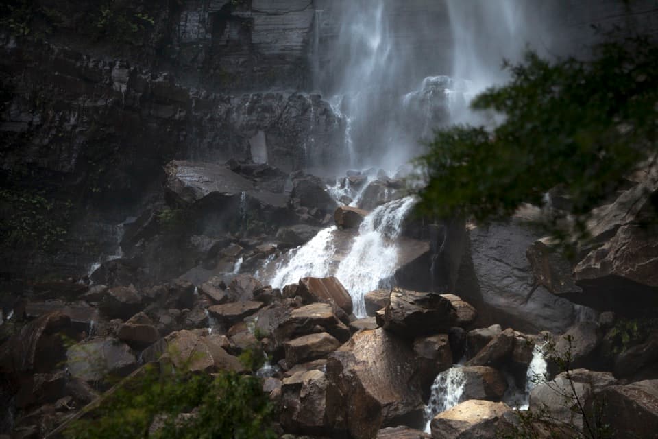 ChallengingGovetts Leap descent1.8 km · 1.5 hr · 1.7 km awayA steep 1.8 km return walk to the falls and back.
 Visitor center · 1.2 km awayBlue Mountains Heritage CentreWalk advice, free PLB hire and a VR peek at Wollemi pines.
 Sight · 1.7 km awayGovetts Leap lookoutSee the Grose Valley's cliffs without setting off on a bushwalk.
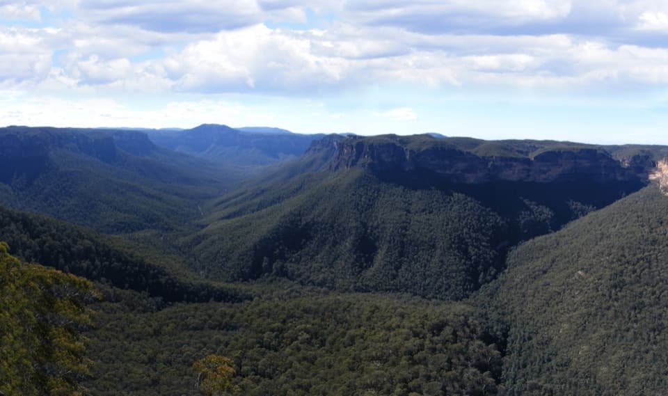 Sight · 3.4 km awayEvans lookoutA short, step-free stop above the forested Grose Valley.
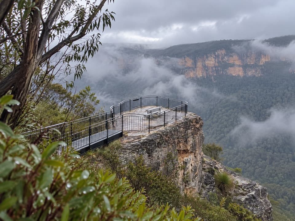 Sight · 3.4 km awayPulpit Rock lookoutStep down the rock blade for wide Grose Valley views.
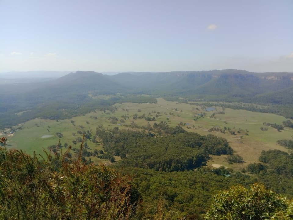 Sight · 4.6 km awayMount Blackheath LookoutA west-facing platform over Kanimbla Valley, worth a sunset stop.
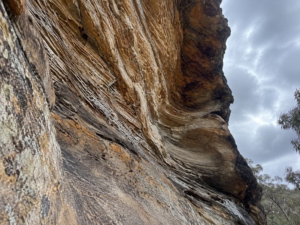 Sight · 5.7 km awayWind Eroded CaveA short stop for wave-shaped sandstone and a Grose Gorge view.Sight · 5.7 km awayBaltzer LookoutA ridge walk ends at an unfenced view over the Grose Valley.
 Sight · 5.8 km awayLockley PylonA rocky summit with a full sweep across the Grose Valley.
Parkwolf’s Blue Mountains ranking

The audio tour guide for the drive, plus offline maps, trails, and wildlife heatmaps for when the signal drops.





