Parking
Walls Cave Carpark is on Walls Cave Road in Blackheath. A second parking area lies a short walk before the track entrance.

Blue Mountains National Park, NSW
Steep steps lead to a creek crossing and a huge sandstone overhang.
Overview
Map & elevation
Plan your hike

The highest, rockiest slopes around here are a summer buffet for grizzly bears.
Blue Mountains Tour Guide
Parkwolf is a GPS audio tour guide for Blue Mountains National Park. As you drive, it chimes in with what’s ahead: hidden gems, upcoming stops, history, geology, and wildlife, right through your car’s speakers.
See the Blue Mountains audio tourRecorded for this trailhead
Walls Cave and the Creek Gorge“You're coming up on the start of Walls Cave Track, where a stair-filled descent leads to a creek gorge and a broad sandstone overhang.”
Plays as you drive up to this trailhead in the Parkwolf Blue Mountains Tour Guide.
More stories near here in the app
“Fantastic app with many points of information… It’s great to just turn on while you’re driving and it gives you an audio tour of the national Park. We love it!!!!”


Trail guide
Walls Cave Track is an about 1.8 km return walk from Walls Cave Carpark to a viewing platform opposite a broad sandstone overhang. It drops through eucalyptus bush to a creek and a narrow slot canyon, then returns on the same track. Allow 1.5 to 2 hours with time at the cave. The many steps make this more than a stroll: the descent is easy to underestimate because you have to climb them back out.
Steps begin soon after the car park. For roughly the first 760 m the path trends downhill, with only short breaks in the stairs. Around 500 m in, follow the signed turn toward Walls Cave; the track opens enough for the overhang to appear ahead. Continue on the main path as it bends toward the creek.
The lower section feels damper, with ferns along the sandstone walls. A small bridge looks into the narrow creek gorge. Beyond it, about 30 m of stepping stones run beside the water, followed by a short stair and a level stretch under another overhang. Final steps lead down to a wooden viewing platform and bench opposite Walls Cave. Stay on the platform and do not enter the cave.
The return retraces the same route, climbing the stairs you descended. Trail descriptions put the total ascent at roughly 120–130 m. The route is short, but this steady stair climb is what makes it moderately demanding.
A short, rough side path near the slot reaches the opposite canyon wall by scrambling over rocks. It can be slippery when wet and is outside the mapped return route. The main track already gives a good view of the slot from the bridge, so the spur is easy to skip.
Start at Walls Cave Carpark on Walls Cave Road in Blackheath. A second parking area is a short walk before the track entrance. Pets are not permitted in this national park, except certified assistance animals.
Wildlife
 58 sightingsGrey KangarooMost seen around 6 AMSighting map
 43 sightingsWombatMost seen around 6 PMSighting map
 18 sightingsRed-necked WallabyMost seen around 6 PMSighting map
 53 sightingsSwamp WallabyMost seen around 7 AMSighting map
 23 sightingsBrushtail PossumMost seen around 7 PMSighting map
 30 sightingsRing-tailed PossumMost seen around 7 PMSighting map
Sighting maps show where each species has been reported across Blue Mountains. Wildlife moves, so no sighting is guaranteed.
Keep exploring
 ModerateBraeside walking track2.5 km · 1.3 hr · 1.1 km awayA quiet creekside walk to a waterfall view over Grose Valley.
 ModerateGrand Canyon track6.3 km · 3.5 hr · 1.4 km awayA ferny creek gorge, waterfalls and sandstone slots in one loop.
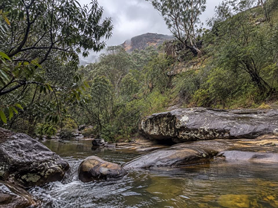 ModerateHorse Track to Junction Rock7.8 km · 4.5 hr · 1.9 km awayStair-heavy descent to cascades and pools at Junction Rock.
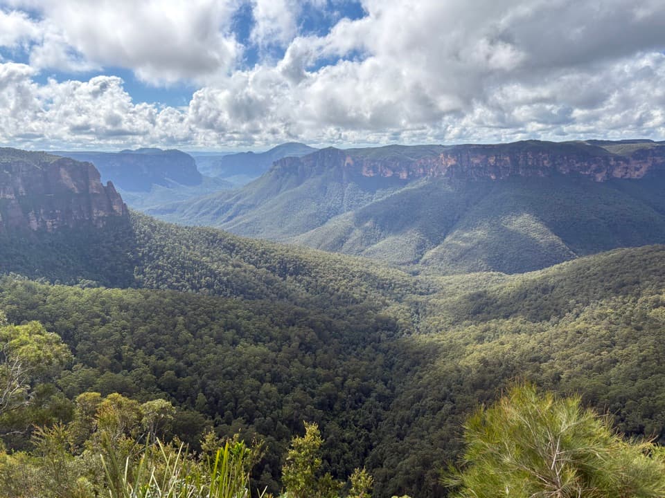 EasyFairfax Heritage walking track3.6 km · 1.3 hr · 2.3 km awayAn easy sealed walk to two Grose Valley lookouts.
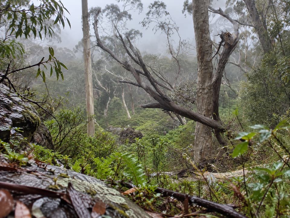 ModeratePopes Glen Track3 km · 1.5 hr · 2.3 km awayA ferny creek route that climbs to the Grose Valley rim.
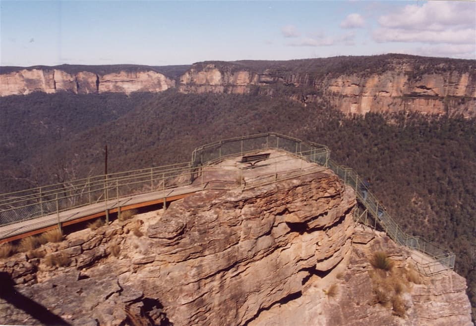 ModeratePulpit walking track7 km · 2.5 hr · 2.6 km awayA cliffline walk to an isolated sandstone blade above the Grose Valley.
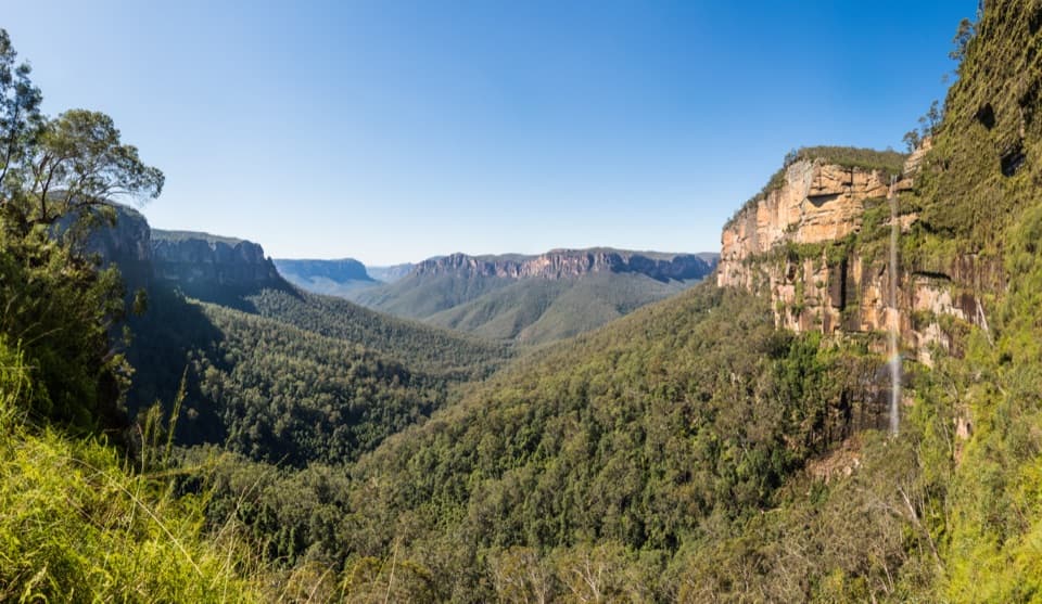 ChallengingRodriguez Pass walking track12 km · 5.5 hr · 2.6 km awayA full-day loop linking waterfalls, a canyon floor and cliff-top views
 ModerateCliff Top walking track6 km · 3.3 hr · 2.6 km awayA stepped cliff-edge walk with Grose Valley and waterfall views.
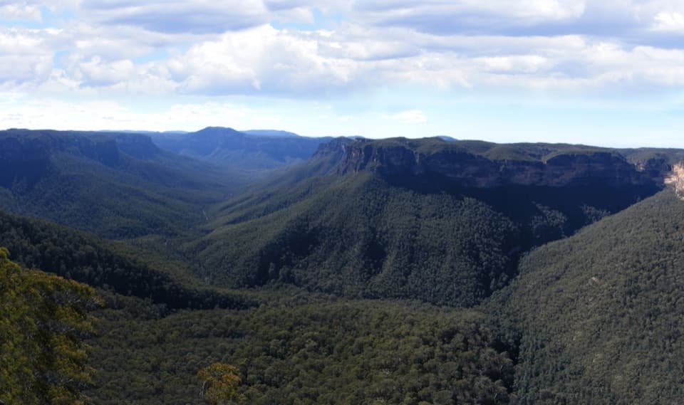 Sight · 2 km awayEvans lookoutA short, step-free stop above the forested Grose Valley.
 Visitor center · 2.3 km awayBlue Mountains Heritage CentreWalk advice, free PLB hire and a VR peek at Wollemi pines.
 Sight · 2.6 km awayGovetts Leap lookoutSee the Grose Valley's cliffs without setting off on a bushwalk.
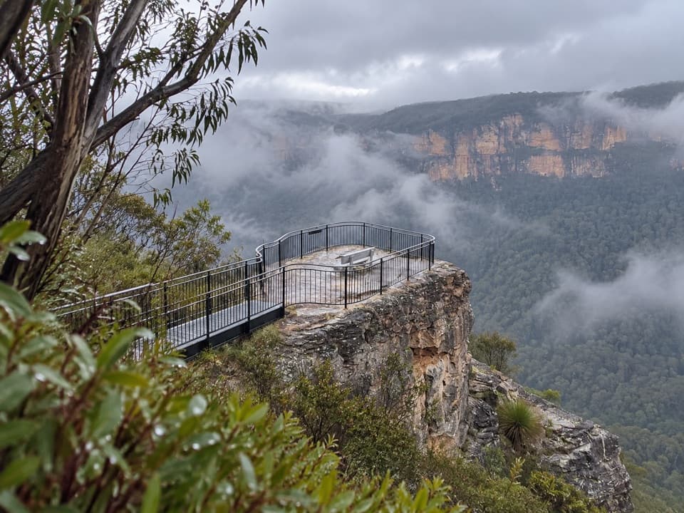 Sight · 3.9 km awayPulpit Rock lookoutStep down the rock blade for wide Grose Valley views.
 Sight · 4.4 km awayFortress Rock LookoutA rugged, unfenced lookout over the Grose Valley.
 Sight · 5.4 km awayLockley PylonA rocky summit with a full sweep across the Grose Valley.
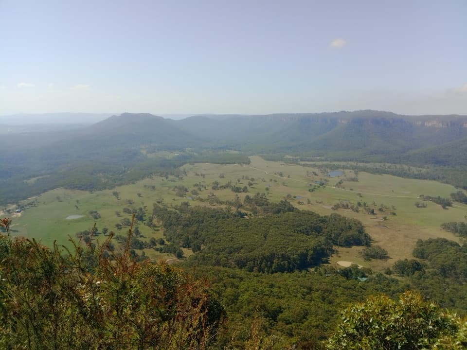 Sight · 5.7 km awayMount Blackheath LookoutA west-facing platform over Kanimbla Valley, worth a sunset stop.
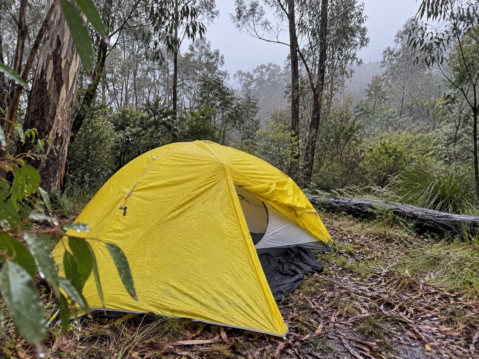 Campground · 6.2 km awayAcacia Flat campgroundA remote tent camp beside Blue Gum Forest.
Parkwolf’s Blue Mountains ranking

The audio tour guide for the drive, plus offline maps, trails, and wildlife heatmaps for when the signal drops.




