Parking
Park beside the locked gate on Ridgewell Road at Hanging Rock Parking Area; the gate marks the walk start. Weekend spaces can be limited.
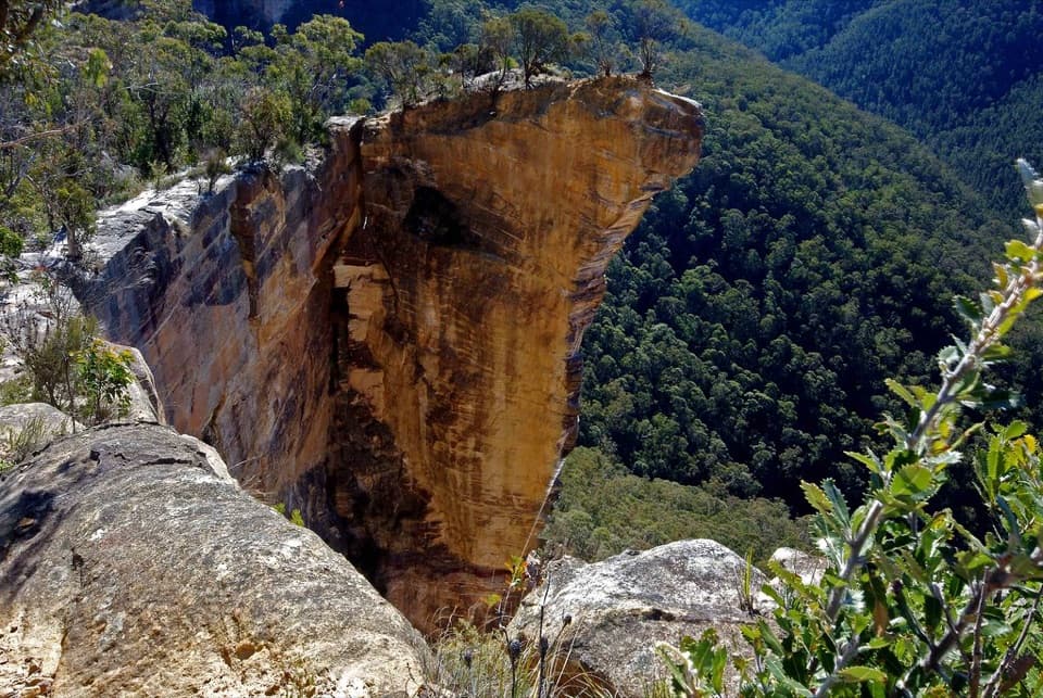
#9 of 110 trails in Blue Mountains
Blue Mountains National Park, NSW
A long ridge fire trail ends above the Grose Valley.
Overview
Map & elevation
Plan your hike

The highest, rockiest slopes around here are a summer buffet for grizzly bears.
Blue Mountains Tour Guide
Parkwolf is a GPS audio tour guide for Blue Mountains National Park. As you drive, it chimes in with what’s ahead: hidden gems, upcoming stops, history, geology, and wildlife, right through your car’s speakers.
See the Blue Mountains audio tourRecorded for this trailhead
Baltzer Lookout and Hanging Rock“You're approaching the Ridgewell Road access for Baltzer Lookout and Hanging Rock. From the gate, it's a ten kilometre return walk of about four hours, mostly along a broad fire trail with the big view saved for the end.”
Plays as you drive up to this trailhead in the Parkwolf Blue Mountains Tour Guide.
More stories near here in the app
“Fantastic app with many points of information… It’s great to just turn on while you’re driving and it gives you an audio tour of the national Park. We love it!!!!”


Trail guide
Burramoko Ridge is a 10 km return walk from the Ridgewell Road gate to Baltzer Lookout and back. Allow about four hours. The broad fire trail meanders along the ridge through heath and open forest, with the Grose Valley panorama held for the finish. The official grade is medium: most of the distance is a steady fire-road walk, but it is a long outing and the lookout is exposed. Other route descriptions give roughly 7.6 to 12 km; their start points and extra paths do not line up, so plan around the 10 km gate-to-lookout return described here.
The wide dirt-and-gravel track makes the main line straightforward to follow, with gentle undulations and occasional climbs. Expect a sustained approach rather than a chain of viewpoints: the early and middle stretches change less than the dramatic final scene. The open heath and forest are part of the walk, but this suits hikers who are happy to earn one major lookout instead of getting constant views. The track is shared with mountain bikes.
At the end of the fire trail, reach the turning circle and continue on foot along the short, rougher bush track to Baltzer Lookout. Cyclists should leave their bikes at the turning circle. The rocky platform opens over the Grose Valley, with the distinctive sandstone Hanging Rock nearby. This is the route’s signature view and a good place to pause; the lookout has no railing, so keep well back from the edge and supervise children closely.
The name can make the route sound as if the rock itself is the required endpoint. The well-supported public route ends at the Baltzer lookout area. A rough, steep continuation drops toward closer viewpoints, and stepping onto the narrow projecting rock involves a highly exposed gap. That extension is not part of the route mapped here or needed for the main panorama. Skip it if you are uncertain around heights or scrambling; there is no need to cross onto the rock to complete this walk.
Bring water, sun protection and a packed lunch; no drinking water, food seller or toilet is available along the route. The nearest toilets are at Memorial Park in Blackheath, a separate stop before or after the walk. Parking is by the locked gate on Ridgewell Road and can be limited on weekends. Walking and cycling groups in Grose Wilderness are limited to eight. Ordinary pets are not allowed in the national park, except certified assistance animals. Share your plan, carry navigation, and check park alerts before setting out because poor weather or fire danger can close the area.
In spring, look for red waratahs and grass trees with cream-coloured flower spikes among the heath. The plants add seasonal detail to the long ridge approach, while the wide valley view remains the payoff at Baltzer.
Wildlife
 58 sightingsGrey KangarooMost seen around 6 AMSighting map
 43 sightingsWombatMost seen around 6 PMSighting map
 18 sightingsRed-necked WallabyMost seen around 6 PMSighting map
 53 sightingsSwamp WallabyMost seen around 7 AMSighting map
 23 sightingsBrushtail PossumMost seen around 7 PMSighting map
 30 sightingsRing-tailed PossumMost seen around 7 PMSighting map
Sighting maps show where each species has been reported across Blue Mountains. Wildlife moves, so no sighting is guaranteed.
Keep exploring
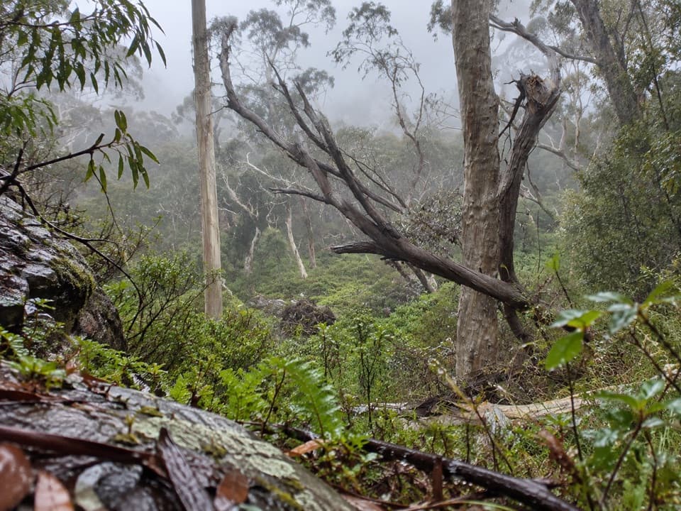 ModeratePopes Glen Track3 km · 1.5 hr · 1.3 km awayA ferny creek route that climbs to the Grose Valley rim.
 ChallengingBlackheath to Mount Victoria via Grose Valley29.1 km · 12.1 hr · 1.4 km awayA long crossing of the Grose Valley through Blue Gum Forest.
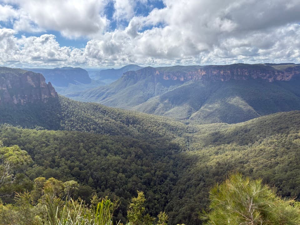 EasyFairfax Heritage walking track3.6 km · 1.3 hr · 2 km awayAn easy sealed walk to two Grose Valley lookouts.
 ModerateCliff Top walking track6 km · 3.3 hr · 2.2 km awayA stepped cliff-edge walk with Grose Valley and waterfall views.
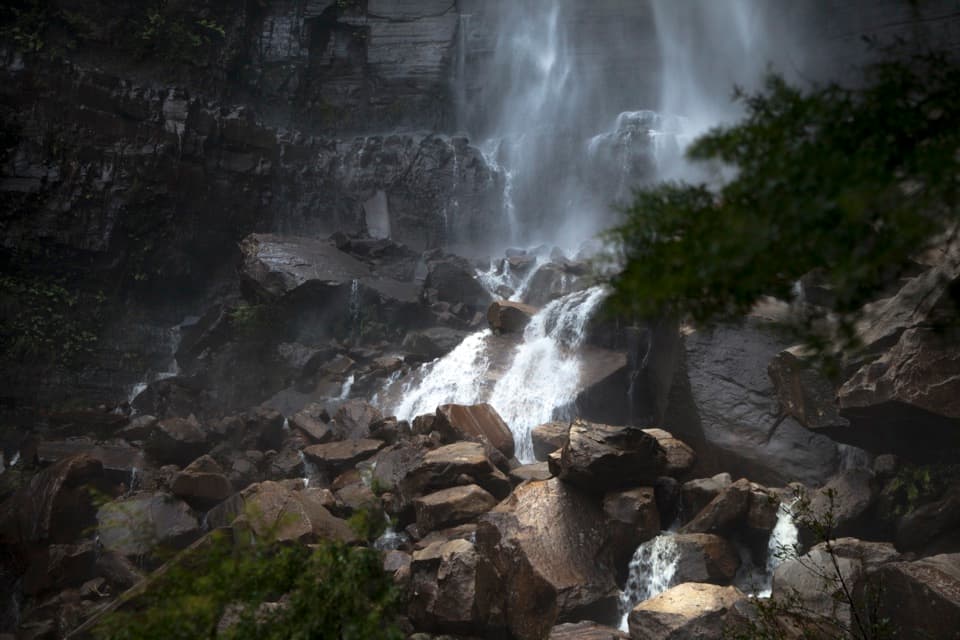 ChallengingGovetts Leap descent1.8 km · 1.5 hr · 2.2 km awayA steep 1.8 km return walk to the falls and back.
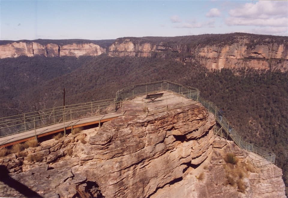 ModeratePulpit walking track7 km · 2.5 hr · 2.2 km awayA cliffline walk to an isolated sandstone blade above the Grose Valley.
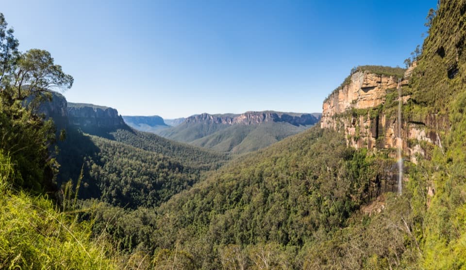 ChallengingRodriguez Pass walking track12 km · 5.5 hr · 2.2 km awayA full-day loop linking waterfalls, a canyon floor and cliff-top views
 ModerateBraeside walking track2.5 km · 1.3 hr · 2.7 km awayA quiet creekside walk to a waterfall view over Grose Valley.
 Visitor center · 2 km awayBlue Mountains Heritage CentreWalk advice, free PLB hire and a VR peek at Wollemi pines.
 Sight · 2.2 km awayGovetts Leap lookoutSee the Grose Valley's cliffs without setting off on a bushwalk.
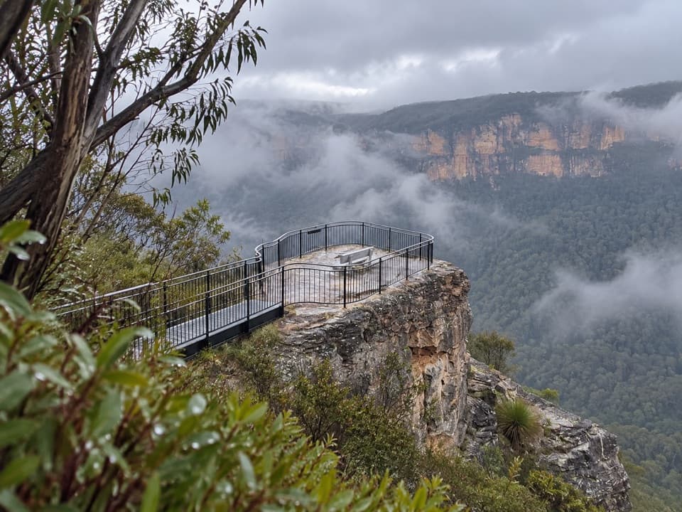 Sight · 3.7 km awayPulpit Rock lookoutStep down the rock blade for wide Grose Valley views.
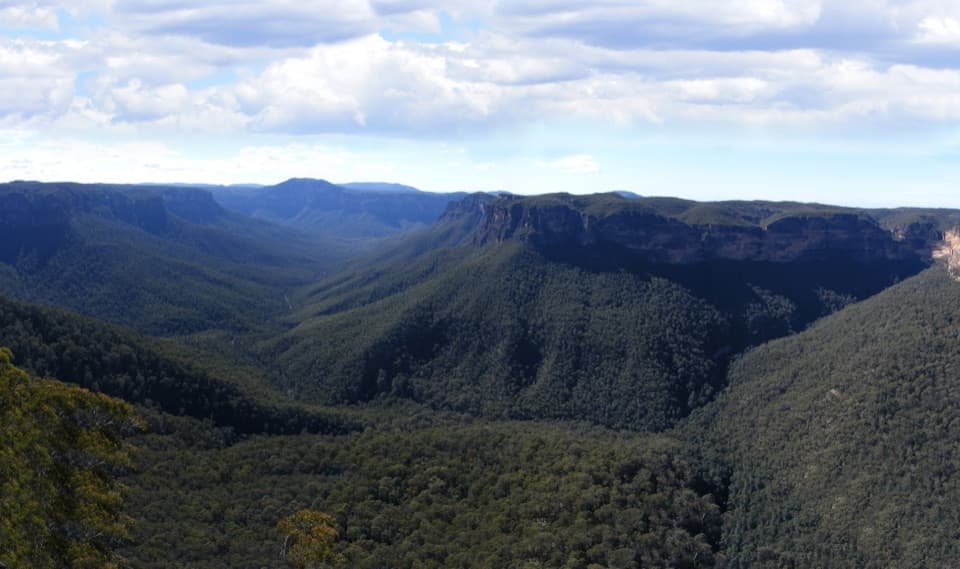 Sight · 4.5 km awayEvans lookoutA short, step-free stop above the forested Grose Valley.
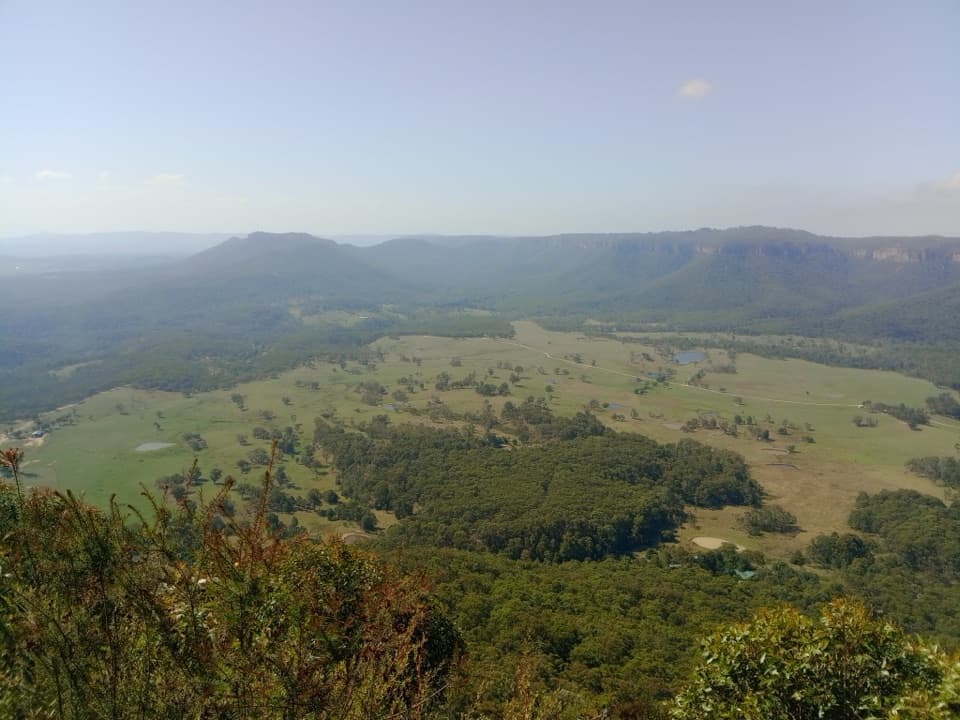 Sight · 4.6 km awayMount Blackheath LookoutA west-facing platform over Kanimbla Valley, worth a sunset stop.Sight · 4.8 km awayBaltzer LookoutA ridge walk ends at an unfenced view over the Grose Valley.
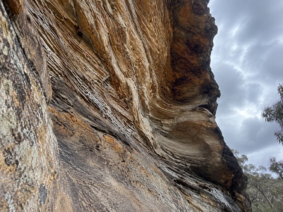 Sight · 5.3 km awayWind Eroded CaveA short stop for wave-shaped sandstone and a Grose Gorge view.Sight · 5.3 km awayVictoria Falls lookoutA wide Grose Valley view appears just beyond the carpark.
Parkwolf’s Blue Mountains ranking

The audio tour guide for the drive, plus offline maps, trails, and wildlife heatmaps for when the signal drops.





