Apple Orchard Falls in Blue Ridge Parkway

Sight · Blue Ridge Parkway

Apple Orchard Falls

Big waterfall reached by a steep, scenic creekside hike

Type
Sight
Nearest trail
0.7 mi
Audio stories
5 nearby
  • Trailhead
  • Parking
  • Scenic viewpoint
  • #40 of 188 sights

Hear the audio tour

Sunset Fields: A Trailhead, Not a Viewpoint

Overview

About Apple Orchard Falls

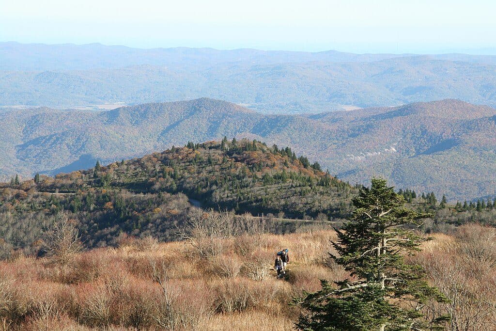
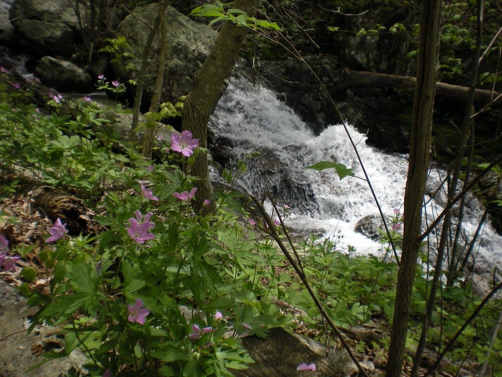
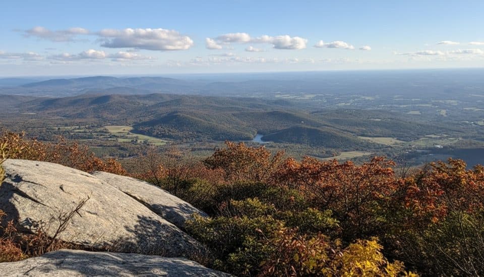
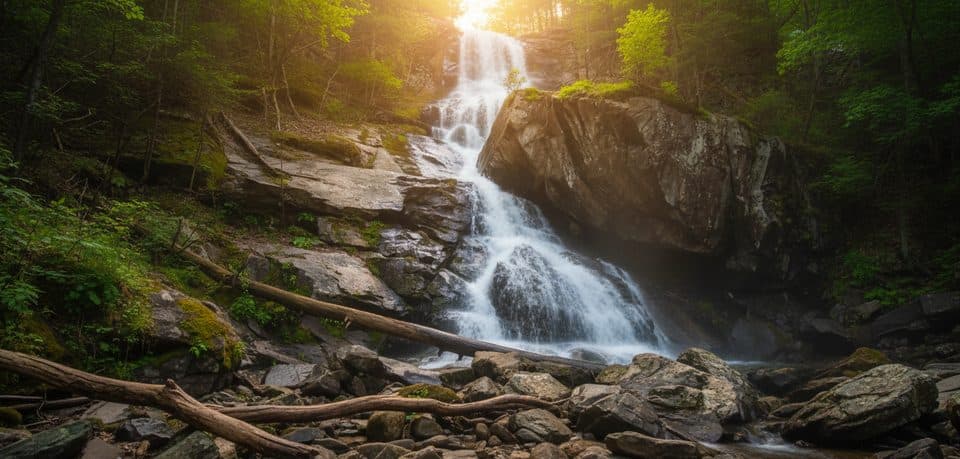
Apple Orchard Falls is one of Virginia’s tallest waterfalls, dropping roughly 150–200 feet off Apple Orchard Mountain in Jefferson National Forest. The route starts from the Blue Ridge Parkway at Sunset Fields Overlook (around MP 78.4) and follows a scenic forest path to a boardwalk at the base of the falls. It’s a classic Parkway hike: big payoff, but be ready to work for it on the way back up.

Why stop

  • Towering 150–200 ft waterfall
  • Well-built boardwalk and stairs to a close-up view

Heads up

  • Steep climb back to the Parkway
  • Parking can fill on weekends
The falls themselves are tall and dramatic, especially in spring or after rain.
Parkwolf’s verdictWhat Makes It Special

Map

Where it is

Loading the Blue Ridge Parkway map
Full map
SightApple Orchard Falls37.51569, -79.53225
Keep this map with you offline in the Parkwolf app

Local know-how

Tips for visiting Apple Orchard Falls

  1. Start from Sunset Fields Overlook at MP ~78.4 and follow signs across the AT and a forest road to stay on the falls trail.

  2. Start early; parking is limited and the climb out is hot and exposed in summer.

  3. Wear sturdy shoes—the final approach uses steep wooden stairs and can be slick after rain.

  4. Pack plenty of water and consider trekking poles for the sustained ascent.

  5. Watch for ticks and stinging nettles near the creek; keep dogs leashed.

Plan your stop

Before you go

Best time to visit

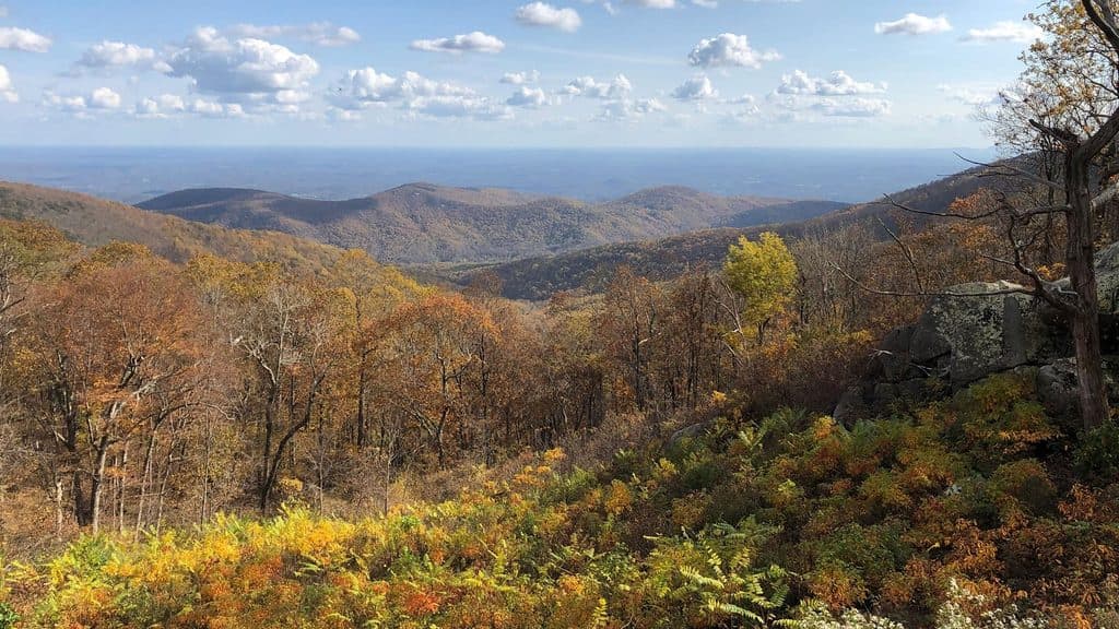
  • Season: April–October sees the most use; spring and post-rain visits deliver the best flow. Fall colors are beautiful but busy.
  • Timing: Start early to beat crowds and summer heat; weekdays are quieter.
  • Photography: Overcast days make the water and mossy creek glow without harsh shadows.

Planning Notes

Parking is at Sunset Fields Overlook and can be limited at busy times. There are no services along the trail; bring everything you need. Alternate approaches from North Creek offer loop options and more time along the water, with inviting but cold swimming holes—use caution.

2 active Blue Ridge Parkway alerts

  • ClosureNorth Carolina Helene-related closuresAvoid the closed Parkway section from MP 344.2–355.3; recreation of any kind is prohibited there.Official details
  • ClosureVirginia Parkway closures and detourFollow the signed detour around the closed James River Bridge and avoid the closed Roanoke Mountain Loop. - James River Bridge (MP 63.5–63.Official details
Blue Ridge Parkway alerts
A park ranger sits on a dash-mounted phone, talking, as Parkwolf’s Tour Guide plays “Army Cutworm Moths: A Grizzly Bear Buffet” on Grand Loop Road below Dunraven Pass in Yellowstone
Parkwolf Tour GuideThe highest, rockiest slopes around here are a summer buffet for grizzly bears.

Blue Ridge Parkway Tour Guide

Your drive to Apple Orchard Falls, narrated.

Parkwolf is a GPS audio tour guide for Blue Ridge Parkway. As you drive, it chimes in with what’s ahead: hidden gems, upcoming stops, history, geology, and wildlife, right through your car’s speakers.

See the Blue Ridge Parkway audio tour

Recorded for this area

Sunset Fields: A Trailhead, Not a Viewpoint
Listen
“You're approaching a pullout called Sunset Fields, but don't let the name mislead you. This isn't a spot for big views; it's the main trailhead for the popular Apple Orchard Falls Trail.”

Plays on the road 0.7 mi from Apple Orchard Falls in the Parkwolf Blue Ridge Parkway Tour Guide.

More stories near here in the app

  • Black Rock Hill Overlook: A Geology Stop
  • The ‘Giant Golf Ball’ on the Horizon
  • Onion Mountain Overlook and its Quick Loop
  • Apple Orchard Mountain Overlook: Virginia's Highest Viewpoint
  • 277 audio storiesacross Blue Ridge Parkway’s roads, triggered by GPS as you drive
  • Wildlife heatmapsfor Black Bear, Elk, White-tailed Deer, and 13 more
  • Works offlinemaps, 112 trails, 232 places, and audio download before you lose signal
  • CarPlay readysimple controls built for the drive
★★★★★
“…We knew we wanted to drive the Blue Ridge Parkway. The narration was impeccably timed. The facts and info provided were meaningful. Without it, the trip would not have been near as awesome.”
Ashl GApp Store review
Download Parkwolf on the App StoreGet Parkwolf on Google Play

4.7 from 8,600+ ratings

Guide

More about Apple Orchard Falls

The HikeFrom the Parkway trailhead, the Apple Orchard Falls Trail descends through rhododendron and…

From the Parkway trailhead, the Apple Orchard Falls Trail descends through rhododendron and fern-filled woods, crossing the Appalachian Trail and a forest road on its way down. Expect wooden bridges, a smaller cascade partway in, and wooden stairs on the final, steep approach to the main falls. The trail is recognized as a National Recreation Trail. Many hikers do it as an out-and-back from the Parkway; others link it with Cornelius Creek Trail for a longer loop or start from North Creek Campground and hike up instead.

Difficulty & ConditionsGoing down is the easy part; the return is a sustained, over-1,000-foot climb.

Going down is the easy part; the return is a sustained, over-1,000-foot climb. Expect slick rocks and mud after rain, plus a lot of stairs near the end. Crowds are common on pleasant weekends and during peak flow or fall color. Dogs are allowed on leash.

Wildlife & NatureKeep an ear out for songbirds and watch for deer moving quietly through the forest.

Keep an ear out for songbirds and watch for deer moving quietly through the forest. Along the creek, you’ll pass lush rhododendron and ferns—and occasional stinging nettles near moist sections.

What Makes It SpecialA boardwalk and bench areas near the base give safe, intimate views without clambering on slick…
  • A boardwalk and bench areas near the base give safe, intimate views without clambering on slick rock.
  • The creek is photogenic the whole way, with mossy boulders, bridges, and splashy mini-falls.

Wildlife

Wildlife in Blue Ridge Parkway

All Blue Ridge Parkway wildlife maps

Sighting maps show where each species has been reported across Blue Ridge Parkway. Wildlife moves, so no sighting is guaranteed.

Keep exploring

Near Apple Orchard Falls

See it all on the map

Trails nearby

More stops nearby

Parkwolf’s Blue Ridge Parkway ranking

Top sights in Blue Ridge Parkway

All 232 places
  1. 1Linn Cove ViaductSight
  2. 2Mount MitchellSight
  3. 3Mount Mitchell State ParkSight
  4. 4Craggy Pinnacle OverlookSight
  5. 5Linville FallsSight
  6. 6Peaks of OtterSight

Take Parkwolf to Blue Ridge Parkway.

The audio tour guide for the drive, plus offline maps, trails, and wildlife heatmaps for when the signal drops.

4.7 from 8,600+ ratings

Download Parkwolf on the App StoreGet Parkwolf on Google Play