Parking
Park at the signed Thunder Ridge Overlook/trailhead on the Blue Ridge Parkway near milepost 74.7. Use the marked A.T. access and verify Parkway road status before traveling.
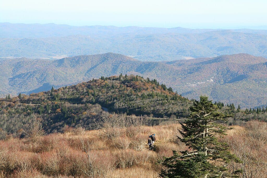
Blue Ridge Parkway, NC · VA
Moderate Appalachian Trail out-and-back from Thunder Ridge to Apple Orchard Mountain
Overview
Map & elevation
Plan your hike

The highest, rockiest slopes around here are a summer buffet for grizzly bears.
Blue Ridge Parkway Tour Guide
Parkwolf is a GPS audio tour guide for Blue Ridge Parkway. As you drive, it chimes in with what’s ahead: hidden gems, upcoming stops, history, geology, and wildlife, right through your car’s speakers.
See the Blue Ridge Parkway audio tourRecorded for this trailhead
Thunder Ridge Overlook and an Easy Taste of the AT“You're coming up to Thunder Ridge Overlook, a pullout with big views into Arnold Valley. This is a fantastic spot if you want to say you've hiked on the Appalachian Trail with almost no effort.”
Plays as you drive up to this trailhead in the Parkwolf Blue Ridge Parkway Tour Guide.
More stories near here in the app
“…We knew we wanted to drive the Blue Ridge Parkway. The narration was impeccably timed. The facts and info provided were meaningful. Without it, the trip would not have been near as awesome.”


Trail guide
This is a 5.2-mile out-and-back on the Appalachian Trail from the Thunder Ridge trailhead beside the Blue Ridge Parkway to Apple Orchard Mountain. The published visitor distance is the full there-and-back hike; the stored line follows the physical corridor once for about 2.46 miles from the trailhead to the mountain summit. The route is the white-blazed A.T., not a loop or the entire Virginia A.T. Appalachian Trail Conservancy AllTrails.
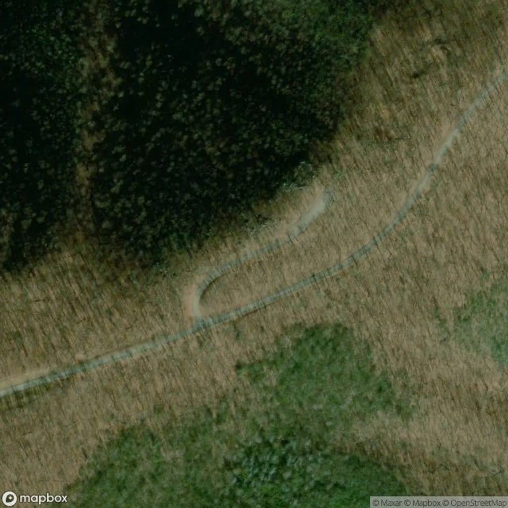
From Thunder Ridge Overlook near Blue Ridge Parkway milepost 74.7, follow the A.T. through the forest toward Apple Orchard Mountain. The trail climbs gradually, with a steeper final section before the summit area and broad ridge views. The route reaches the Apple Orchard Mountain high point, then returns by the same corridor. Expect rocky, rooty footing and steps on parts of the climb.
This is a moderate hike with about 935 feet of elevation gain. Most hikers should allow roughly 2.5–3 hours for the complete 5.2-mile out-and-back, with extra time for summit views and footing. The stored elevation profile uses 25 evenly distance-spaced samples in meters.
Park at the Thunder Ridge trailhead/overlook on the Blue Ridge Parkway and enter the A.T. from the signed access. The Parkway can have seasonal weather-related closures, so verify road status and access before driving. Dogs are allowed on the A.T. but should remain leashed on National Park Service-administered sections; carry water and use care on rocky steps and exposed summit rocks. Blue Ridge Parkway Virginia trails Blue Ridge Parkway maps and road status Appalachian Trail Conservancy pets guidance
Wildlife
 1,208 sightingsBlack BearMost seen around 7 AMSighting map
 1,020 sightingsElkMost seen around 7 AMSighting map
 2,257 sightingsWhite-tailed DeerMost seen around 6 PMSighting map
 200 sightingsCoyoteMost seen around 6 PMSighting map
 1,126 sightingsWild TurkeyMost seen around 7 AMSighting map
 255 sightingsRed-tailed HawkMost seen around 11 AMSighting map
Sighting maps show where each species has been reported across Blue Ridge Parkway. Wildlife moves, so no sighting is guaranteed.
Keep exploring
 EasyThunder Ridge Nature Trail0.2 mi · 10 min · At the trailheadShort, easy loop to a stone-walled overlook with Arnold Valley views and a brief Appalachian Trail section.
 ChallengingApple Orchard Falls Trail2.8 mi · 2.5 hr · 2.8 mi awayBlue-blazed descent to a 200-foot waterfall, with a hard climb back
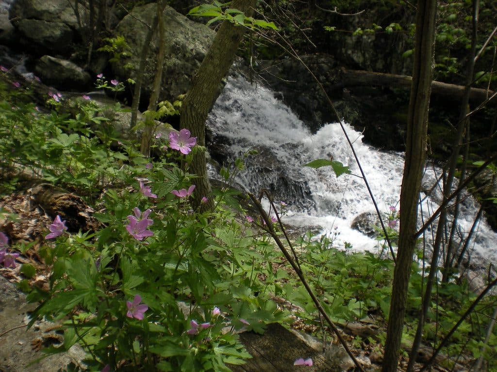 ModerateFallingwater Cascades Loop1.6 mi · 1 hr · 6.7 mi awayModerate 1.6-mile waterfall loop with cascades, rhododendron, and a real climb out.
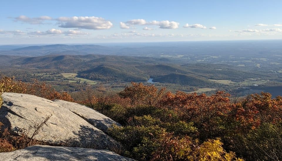 ChallengingFlat Top Trail4.6 mi · 3.5 hr · 6.9 mi awayStrenuous point-to-point traverse over Virginia’s highest Peak of Otter
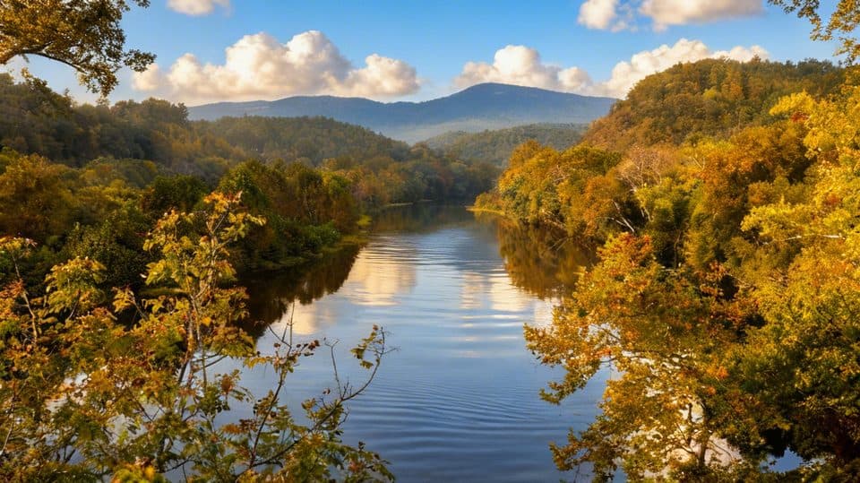 EasyTrail of Trees0.5 mi · 24 min · 6.9 mi awayShaded riverside loop with tree ID signs and James River overlooks
 EasyJames River Canal Lock Trail0.4 mi · 20 min · 7 mi awayShort out-and-back to Battery Creek Lock with a James River footbridge crossing
 EasyCanal Lock Trail0.5 mi · 20 min · 7 mi awayShort, easy out-and-back to a restored James River canal lock with views
 EasyOtter Lake Loop Trail0.9 mi · 45 min · 7.4 mi awayShort lakeside loop with a steep start and quiet, forested feel
 Scenic pullout · At the trailheadThunder Ridge OverlookQuiet overlook with Arnold Valley views and a taste of the AT
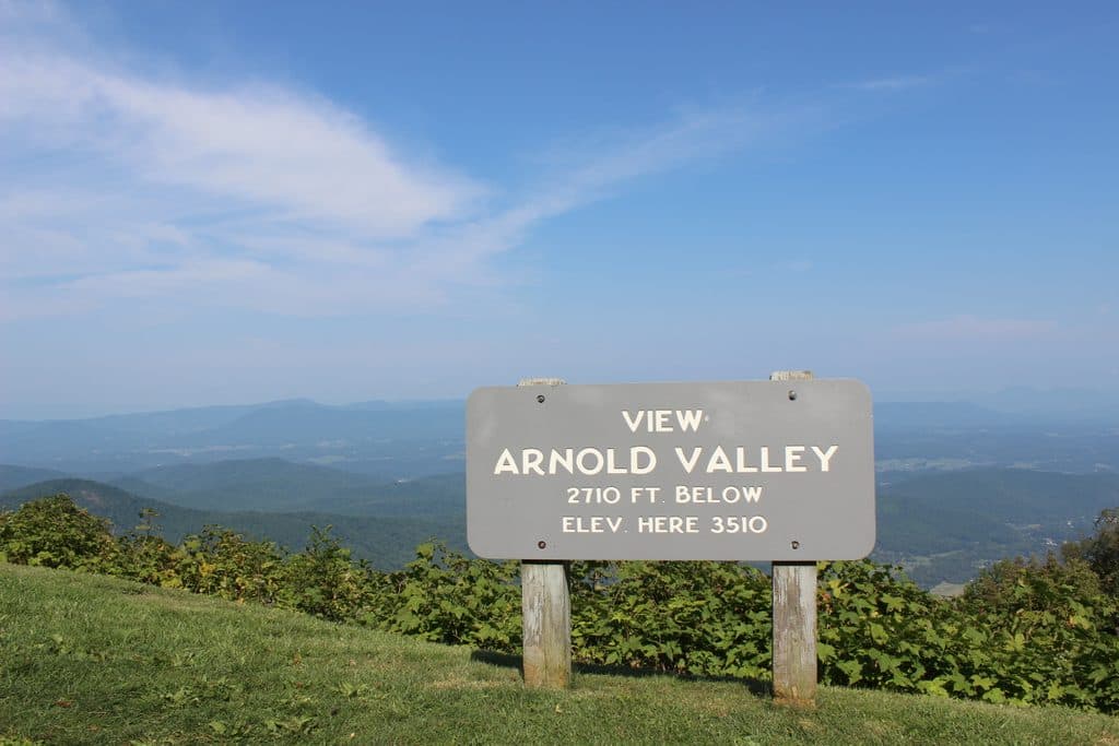 Sight · 0.5 mi awayArnold Valley OverlookBig western views and sunsets over Arnold Valley
 Scenic pullout · 1.4 mi awayApple Orchard Mountain OverlookVirginia’s highest Parkway overlook with easy, big-sky sunrise views
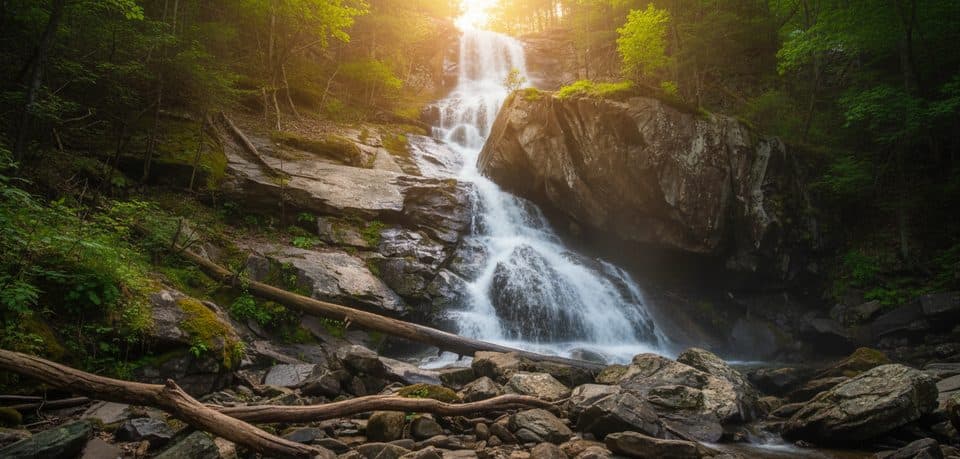 Sight · 2.8 mi awayApple Orchard FallsBig waterfall reached by a steep, scenic creekside hike
 Trailhead · 2.8 mi awaySunset FieldsBusy trailhead for Apple Orchard Falls, not much of a view
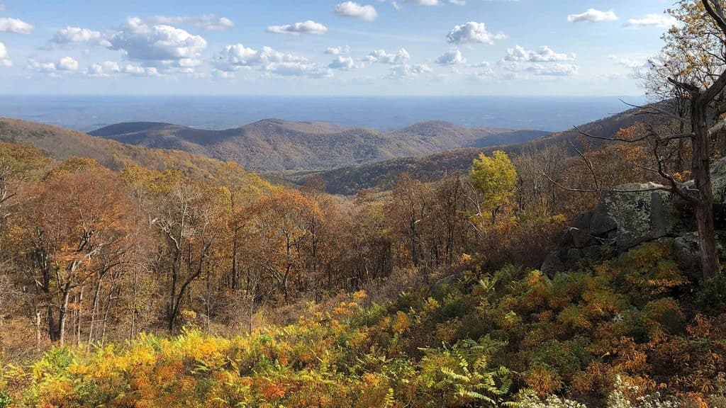 Scenic pullout · 3.9 mi awayOnion Mountain OverlookSmall pullout with big southeast views and a short rock loop
 Scenic pullout · 4.2 mi awayBlack Rock Hill OverlookQuick pull-off for a peek at dark diorite in the woods
 Scenic pullout · 5.6 mi awayHeadforemost Mountain OverlookQuiet roadside stop with big views of Headforemost Mountain
Parkwolf’s Blue Ridge Parkway ranking

The audio tour guide for the drive, plus offline maps, trails, and wildlife heatmaps for when the signal drops.





