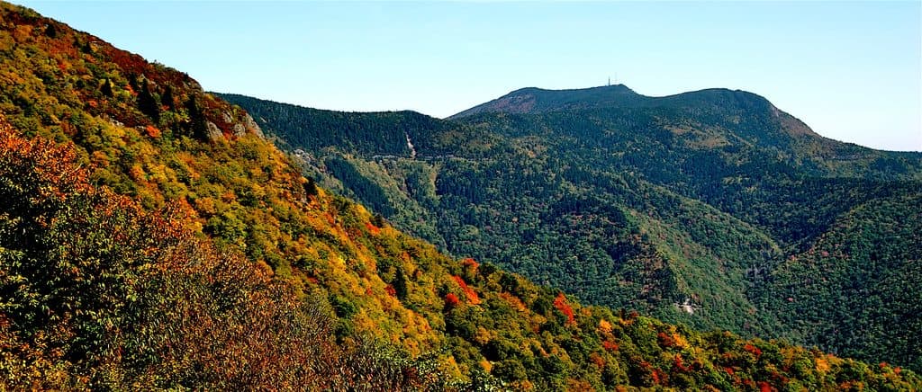
Best time to visit
- Weekdays or early mornings on weekends for a parking spot.
- Spring and after rainy periods showcase the waterfall at its best.
- Sunsets aren’t the draw here—despite the name, the lot itself lacks big views.

Trailhead · Blue Ridge Parkway
Busy trailhead for Apple Orchard Falls, not much of a view
Overview
Sunset Field sits at milepost 78.4 and functions more as a hiking hub than a classic Parkway overlook. It’s the primary Blue Ridge Parkway access point for the Apple Orchard Falls Trail and an easy jump to the Appalachian Trail. Don’t come expecting sweeping vistas from the parking area—the trees keep views mostly closed in—but do come ready to hike.
This is the most convenient Parkway-side gateway to one of the area’s standout waterfalls, Apple Orchard Falls. Trails are well marked from the lot, and you can stitch together longer outings by linking with the AT. In summer, the forested setting stays pleasantly shady and cool.
 Parkwolf’s verdictWhy it’s worth a stop
Map
Local know-how
Arrive early on weekends; the small lot fills fast.
Bring all the water and snacks you need—there are no services here.
From the paved path, go straight at the first junction for Apple Orchard Falls; left or right links to the AT.
Treat any stream water before drinking.
Trekking poles help on the steep, uneven sections.
Plan your stop

The highest, rockiest slopes around here are a summer buffet for grizzly bears.
Blue Ridge Parkway Tour Guide
Parkwolf is a GPS audio tour guide for Blue Ridge Parkway. As you drive, it chimes in with what’s ahead: hidden gems, upcoming stops, history, geology, and wildlife, right through your car’s speakers.
See the Blue Ridge Parkway audio tourRecorded for this place
Sunset Fields: A Trailhead, Not a Viewpoint“You're approaching a pullout called Sunset Fields, but don't let the name mislead you. This isn't a spot for big views; it's the main trailhead for the popular Apple Orchard Falls Trail.”
Plays as you drive up to Sunset Fields in the Parkwolf Blue Ridge Parkway Tour Guide.
More stories near here in the app
“…We knew we wanted to drive the Blue Ridge Parkway. The narration was impeccably timed. The facts and info provided were meaningful. Without it, the trip would not have been near as awesome.”


Guide
From the lot, a paved path leads to clear trail junctions. The Apple Orchard Falls route drops through hardwood forest and mossy boulders to a dramatic waterfall with a wooden viewing platform and boardwalk at the base. If you head to the Appalachian Trail instead, you’ll traverse classic Blue Ridge woodland near the Parkway’s high country by Apple Orchard Mountain.
The surrounding Jefferson National Forest supports white‑tailed deer, black bears, wild turkeys, and plenty of songbirds. Keep an eye out along the trail corridors, especially in the quieter morning and evening hours.
This is a day-use parking/trailhead area with no amenities: no restrooms, no water, no picnic tables, no stores. The hike to the falls is moderate to strenuous with notable elevation change—trekking poles pay off on the grades.
Apple Orchard Mountain, the Parkway’s high point in Virginia, is just up the road, lending this area its rugged, high-elevation feel without the crowds of the marquee overlooks.
Wildlife
 1,208 sightingsBlack BearMost seen around 7 AMSighting map
 1,020 sightingsElkMost seen around 7 AMSighting map
 2,257 sightingsWhite-tailed DeerMost seen around 6 PMSighting map
 200 sightingsCoyoteMost seen around 6 PMSighting map
 1,126 sightingsWild TurkeyMost seen around 7 AMSighting map
 255 sightingsRed-tailed HawkMost seen around 11 AMSighting map
Sighting maps show where each species has been reported across Blue Ridge Parkway. Wildlife moves, so no sighting is guaranteed.
Keep exploring
 ChallengingApple Orchard Falls Trail2.8 mi · 2.5 hr · At the trailheadBlue-blazed descent to a 200-foot waterfall, with a hard climb back
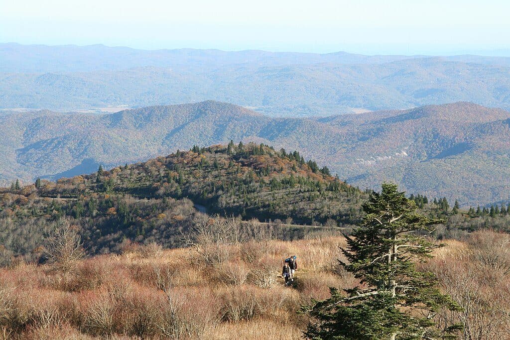 ModerateAppalachian Trail (Parkway corridor)5.2 mi · 3 hr · 2.8 mi awayModerate Appalachian Trail out-and-back from Thunder Ridge to Apple Orchard Mountain
 EasyThunder Ridge Nature Trail0.2 mi · 10 min · 2.8 mi awayShort, easy loop to a stone-walled overlook with Arnold Valley views and a brief Appalachian Trail section.
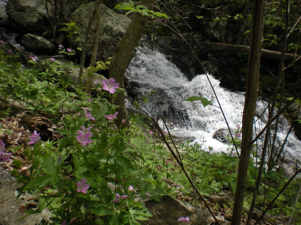 ModerateFallingwater Cascades Loop1.6 mi · 1 hr · 3.9 mi awayModerate 1.6-mile waterfall loop with cascades, rhododendron, and a real climb out.
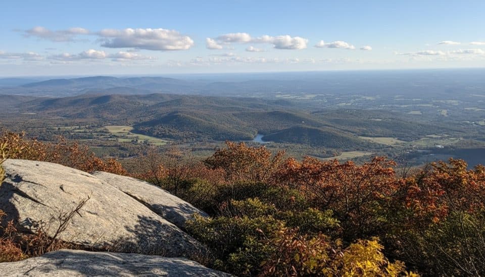 ChallengingFlat Top Trail4.6 mi · 3.5 hr · 4.1 mi awayStrenuous point-to-point traverse over Virginia’s highest Peak of Otter
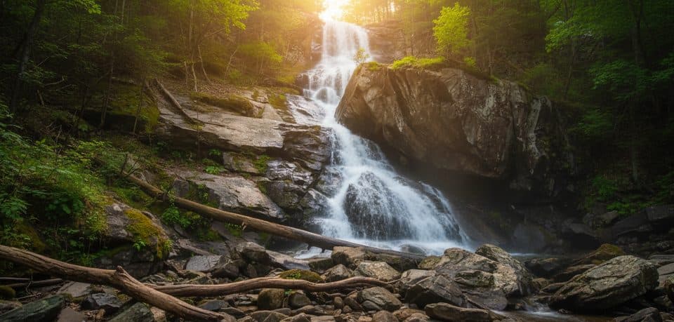 Sight · 0.7 mi awayApple Orchard FallsBig waterfall reached by a steep, scenic creekside hike
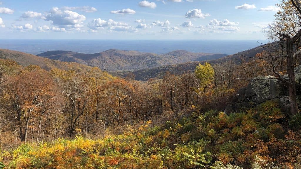 Scenic pullout · 1.1 mi awayOnion Mountain OverlookSmall pullout with big southeast views and a short rock loop
 Scenic pullout · 1.4 mi awayBlack Rock Hill OverlookQuick pull-off for a peek at dark diorite in the woods
 Scenic pullout · 1.5 mi awayApple Orchard Mountain OverlookVirginia’s highest Parkway overlook with easy, big-sky sunrise views
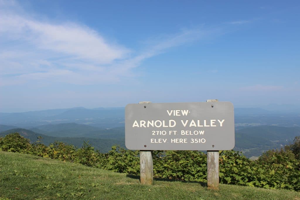 Sight · 2.3 mi awayArnold Valley OverlookBig western views and sunsets over Arnold Valley
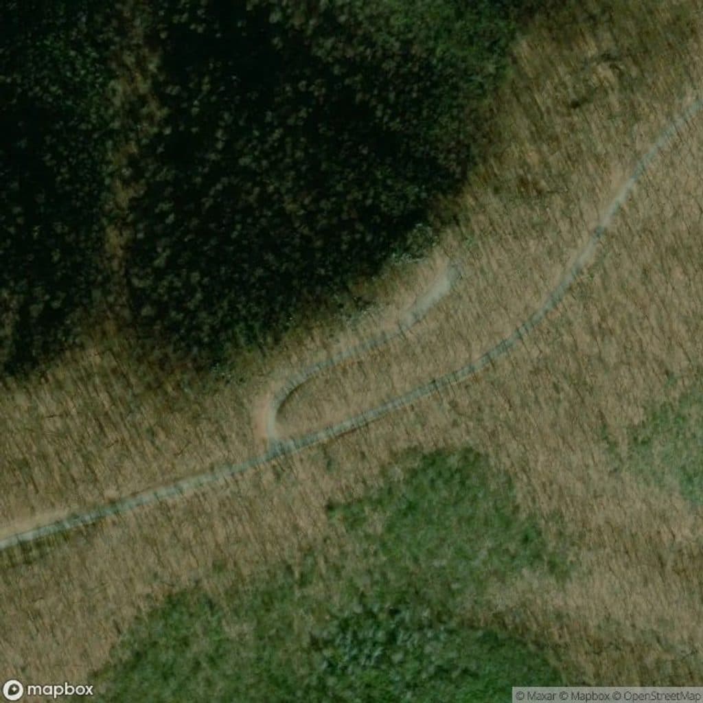 Scenic pullout · 2.8 mi awayThunder Ridge OverlookQuiet overlook with Arnold Valley views and a taste of the AT
 Scenic pullout · 2.8 mi awayHeadforemost Mountain OverlookQuiet roadside stop with big views of Headforemost Mountain
Parkwolf’s Blue Ridge Parkway ranking
The audio tour guide for the drive, plus offline maps, trails, and wildlife heatmaps for when the signal drops.