Onion Mountain Overlook in Blue Ridge Parkway

Scenic pullout · Blue Ridge Parkway

Onion Mountain Overlook

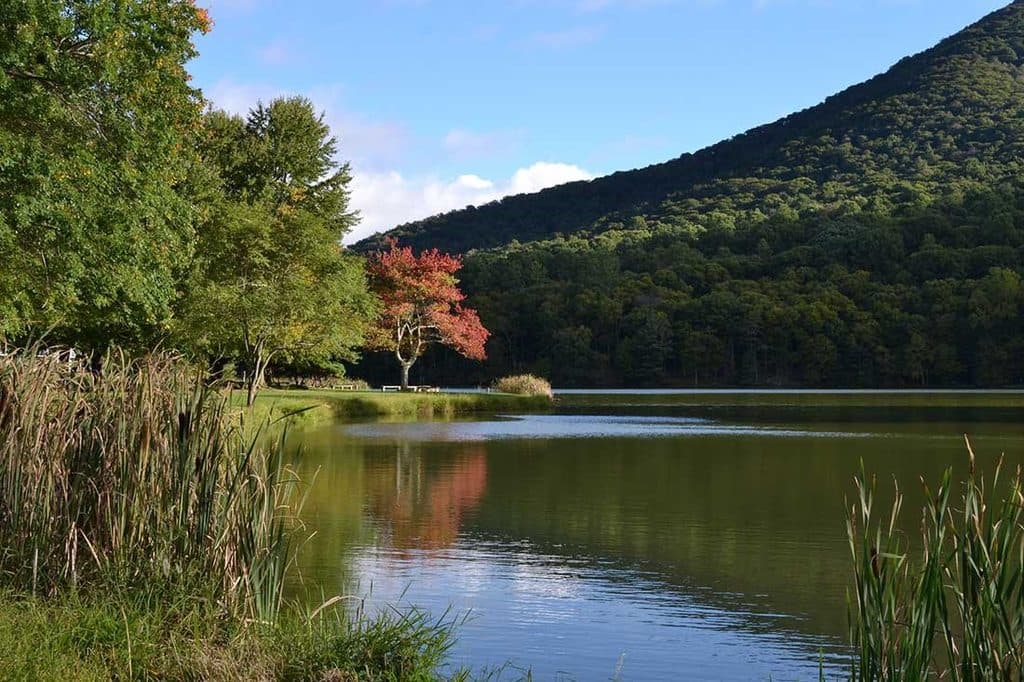
Small pullout with big southeast views and a short rock loop

Photo: National Park Service
Type
Scenic pullout
Nearest trail
1.1 mi
Audio stories
5 nearby
  • Trailhead
  • Pullout
  • Parking
  • Picnic tables

Hear the audio tour

Onion Mountain Overlook and its Quick Loop

Overview

About Onion Mountain Overlook

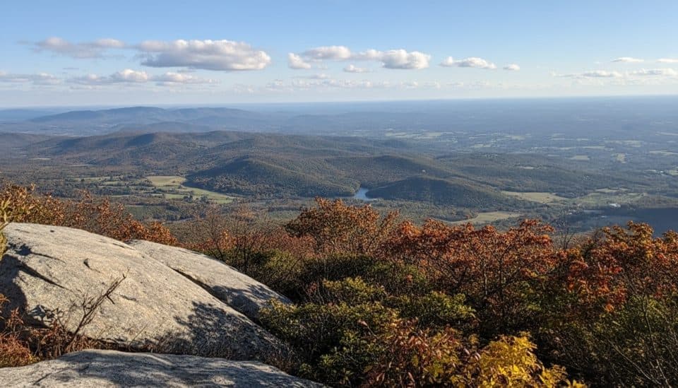
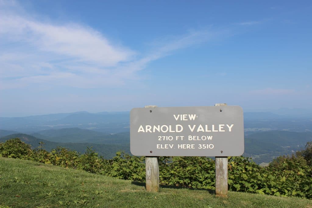
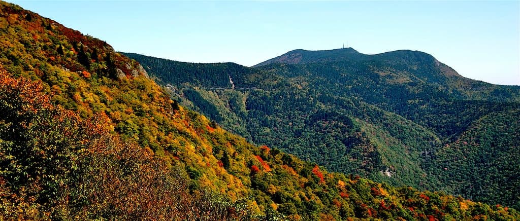
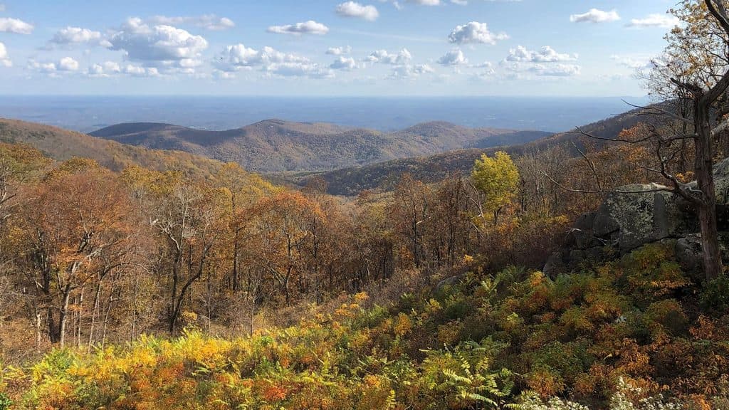
A classic Blue Ridge Parkway quick-stop at MP 79.7, Onion Mountain Overlook sits around 3,145 feet and looks southeast across Suck Mountain to the piedmont dropping roughly 2,000 feet below. It’s a small pullout with a big view—perfect for a stretch, a few photos, and a snack at the lone picnic table.

Why stop

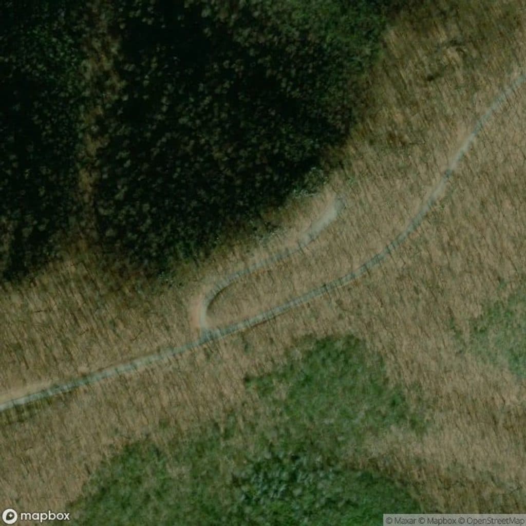
  • Short 0.2-mile loop with a fun rock outcrop photo spot
  • Single picnic table with a view

Heads up

  • Views can be partly blocked by summer foliage
  • Very limited facilities and only one table

Map

Where it is

Loading the Blue Ridge Parkway map
Full map
Scenic pulloutOnion Mountain Overlook37.49636, -79.53758
Keep this map with you offline in the Parkwolf app

Local know-how

Tips for visiting Onion Mountain Overlook

  1. Best views are from the parking area or the nearby rock outcrop.

  2. Hit early June for rhododendron and laurel blooms; October for peak color.

  3. Arrive on weekdays or early to snag the lone picnic table.

  4. Bring binoculars for migrating warblers and the occasional raptor.

  5. There’s cell signal here; no restrooms or water on-site.

Plan your stop

Before you go

Best time to go

  • Early June: Rhododendron and mountain laurel blossoms frame the scene.
  • Fall: Fiery foliage lights up the slopes and the piedmont below.
  • Birdlife: Passing warblers and the occasional raptor make this a sneaky-good birding pullout; bring binoculars if you have them.

2 active Blue Ridge Parkway alerts

  • ClosureNorth Carolina Helene-related closuresAvoid the closed Parkway section from MP 344.2–355.3; recreation of any kind is prohibited there.Official details
  • ClosureVirginia Parkway closures and detourFollow the signed detour around the closed James River Bridge and avoid the closed Roanoke Mountain Loop. - James River Bridge (MP 63.5–63.Official details
Blue Ridge Parkway alerts
A park ranger sits on a dash-mounted phone, talking, as Parkwolf’s Tour Guide plays “Army Cutworm Moths: A Grizzly Bear Buffet” on Grand Loop Road below Dunraven Pass in Yellowstone
Parkwolf Tour GuideThe highest, rockiest slopes around here are a summer buffet for grizzly bears.

Blue Ridge Parkway Tour Guide

Your drive to Onion Mountain Overlook, narrated.

Parkwolf is a GPS audio tour guide for Blue Ridge Parkway. As you drive, it chimes in with what’s ahead: hidden gems, upcoming stops, history, geology, and wildlife, right through your car’s speakers.

See the Blue Ridge Parkway audio tour

Recorded for this place

Onion Mountain Overlook and its Quick Loop
Listen
“The pullout ahead is Onion Mountain Overlook, a small stop with a big view looking southeast towards the piedmont. There's a short walking loop here that leads through rhododendron to a rock outcrop.”

Plays as you drive up to Onion Mountain Overlook in the Parkwolf Blue Ridge Parkway Tour Guide.

More stories near here in the app

  • Black Rock Hill Overlook: A Geology Stop
  • Sunset Fields: A Trailhead, Not a Viewpoint
  • The ‘Giant Golf Ball’ on the Horizon
  • Headforemost Mountain Overlook's Classic View
  • 277 audio storiesacross Blue Ridge Parkway’s roads, triggered by GPS as you drive
  • Wildlife heatmapsfor Black Bear, Elk, White-tailed Deer, and 13 more
  • Works offlinemaps, 112 trails, 232 places, and audio download before you lose signal
  • CarPlay readysimple controls built for the drive
★★★★★
“…We knew we wanted to drive the Blue Ridge Parkway. The narration was impeccably timed. The facts and info provided were meaningful. Without it, the trip would not have been near as awesome.”
Ashl GApp Store review
Download Parkwolf on the App StoreGet Parkwolf on Google Play

4.7 from 8,600+ ratings

Guide

More about Onion Mountain Overlook

What You’ll SeeExpect broad, southeast-facing vistas of lowlands beyond the Blue Ridge.

Expect broad, southeast-facing vistas of lowlands beyond the Blue Ridge. The parking area itself delivers the best angle, though a short path leads to a photogenic rock outcrop if you want a slightly different perspective.

The Quick WalkFrom the south end of the lot, a mellow 0.

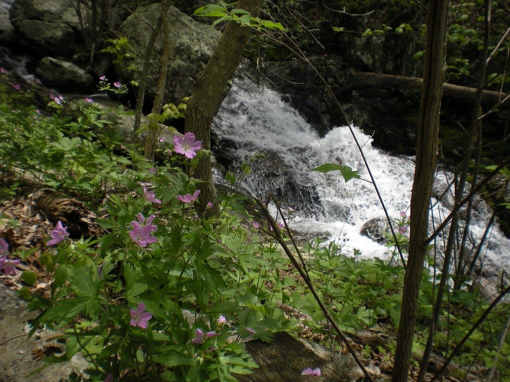
From the south end of the lot, a mellow 0.2-mile loop slips through rhododendron and mountain laurel—both bloom in early June—before reaching the rock formation. It’s more of a leg-stretcher than a destination hike; many visitors find the parking-lot view just as good.

Know Before You GoAmenities are minimal: small parking area, one picnic table, no restrooms or water.

Amenities are minimal: small parking area, one picnic table, no restrooms or water. There’s often cell signal here. A posted note indicates gas grills only near the picnic spot—no on-site grills provided.

Best Time to VisitTime of day: With a southeast orientation, morning light is generally kinder for photos;…
  • Time of day: With a southeast orientation, morning light is generally kinder for photos; late-day can be hazier or backlit.
  • Days: Weekdays or early hours offer the most solitude, especially in peak foliage season.
  • Seasons: Early June for blooms; October for peak color.

Wildlife

Wildlife in Blue Ridge Parkway

All Blue Ridge Parkway wildlife maps

Sighting maps show where each species has been reported across Blue Ridge Parkway. Wildlife moves, so no sighting is guaranteed.

Keep exploring

Near Onion Mountain Overlook

See it all on the map

Trails nearby

More stops nearby

Parkwolf’s Blue Ridge Parkway ranking

Top sights in Blue Ridge Parkway

All 232 places
  1. 1Linn Cove ViaductSight
  2. 2Mount MitchellSight
  3. 3Mount Mitchell State ParkSight
  4. 4Craggy Pinnacle OverlookSight
  5. 5Linville FallsSight
  6. 6Peaks of OtterSight

Take Parkwolf to Blue Ridge Parkway.

The audio tour guide for the drive, plus offline maps, trails, and wildlife heatmaps for when the signal drops.

4.7 from 8,600+ ratings

Download Parkwolf on the App StoreGet Parkwolf on Google Play