Best time to visit
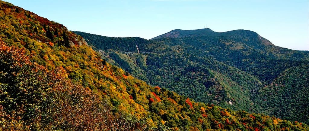
Late fall through winter is the sweet spot when leaves are down and the rock is easier to see. It’s rarely busy, so timing is flexible—stop when visibility is clear and you have a minute to spare.

Scenic pullout · Blue Ridge Parkway
Quick pull-off for a peek at dark diorite in the woods
Overview
A blink-and-you’ll-miss-it pull-off around milepost 79.9, Black Rock Hill Overlook is more about geology than grand vistas. At roughly 3,195 feet, it faces a forested scene that’s mostly screened by trees for much of the year, making this a short, curiosity stop rather than a marquee viewpoint.
The overlook nods to the area’s distinctive diorite—an igneous rock that’s darker than the granites many people associate with the Blue Ridge. If you’re into geology, this stop helps connect the dots between the Parkway’s scenery and the rocks beneath it.
 Parkwolf’s verdictWhy It’s Unique
Map
Local know-how
Leaf-off season (late fall–winter) offers the clearest look at the rock.
There are no facilities—plan restroom and food stops elsewhere.
Treat it as a brief pause; bigger views are at nearby overlooks.
Plan your stop

The highest, rockiest slopes around here are a summer buffet for grizzly bears.
Blue Ridge Parkway Tour Guide
Parkwolf is a GPS audio tour guide for Blue Ridge Parkway. As you drive, it chimes in with what’s ahead: hidden gems, upcoming stops, history, geology, and wildlife, right through your car’s speakers.
See the Blue Ridge Parkway audio tourRecorded for this place
Black Rock Hill Overlook: A Geology Stop“The pullout for Black Rock Hill Overlook is just ahead. This is one of those spots that's more about geology than a big scenic view.”
Plays as you drive up to Black Rock Hill Overlook in the Parkwolf Blue Ridge Parkway Tour Guide.
More stories near here in the app
“…We knew we wanted to drive the Blue Ridge Parkway. The narration was impeccably timed. The facts and info provided were meaningful. Without it, the trip would not have been near as awesome.”


Guide
Expect a modest, mostly wooded view with only partial openings. In leaf-off season, you can better pick out the namesake black rock and even glimpse a mashy low area below, but don’t come expecting a sweeping panorama.
There’s no trailhead, picnic table, or restroom here—just a small roadside pullout and a quick look. It’s a quiet pause on a longer drive, best for geology nerds, Parkway completists, or anyone curious about the Black Rock Hill name.
Nothing here is wildlife-specific, but you’re in typical Appalachian forest—keep your eyes open and your stop low-key, and you might catch birds or the usual woodland movement on quieter days.
Underrated for geology, overrated for views. If you’re chasing big vistas, keep rolling to nearby overlooks; if you enjoy learning the landscape’s backstory, this quick pull-off earns its minute.
Wildlife
 1,208 sightingsBlack BearMost seen around 7 AMSighting map
 1,020 sightingsElkMost seen around 7 AMSighting map
 2,257 sightingsWhite-tailed DeerMost seen around 6 PMSighting map
 200 sightingsCoyoteMost seen around 6 PMSighting map
 1,126 sightingsWild TurkeyMost seen around 7 AMSighting map
 255 sightingsRed-tailed HawkMost seen around 11 AMSighting map
Sighting maps show where each species has been reported across Blue Ridge Parkway. Wildlife moves, so no sighting is guaranteed.
Keep exploring
 ChallengingApple Orchard Falls Trail2.8 mi · 2.5 hr · 1.4 mi awayBlue-blazed descent to a 200-foot waterfall, with a hard climb back
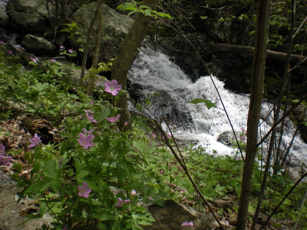 ModerateFallingwater Cascades Loop1.6 mi · 1 hr · 2.5 mi awayModerate 1.6-mile waterfall loop with cascades, rhododendron, and a real climb out.
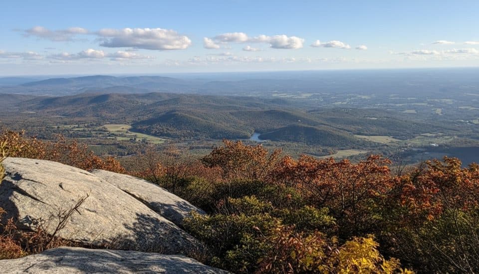 ChallengingFlat Top Trail4.6 mi · 3.5 hr · 2.7 mi awayStrenuous point-to-point traverse over Virginia’s highest Peak of Otter
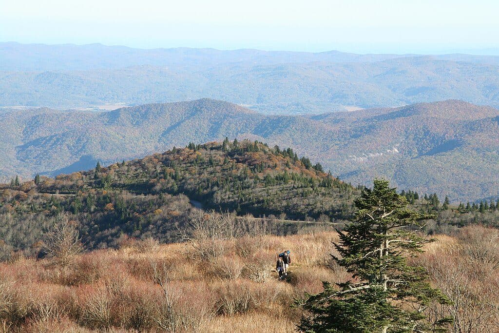 ModerateAppalachian Trail (Parkway corridor)5.2 mi · 3 hr · 4.2 mi awayModerate Appalachian Trail out-and-back from Thunder Ridge to Apple Orchard Mountain
 EasyThunder Ridge Nature Trail0.2 mi · 10 min · 4.2 mi awayShort, easy loop to a stone-walled overlook with Arnold Valley views and a brief Appalachian Trail section.
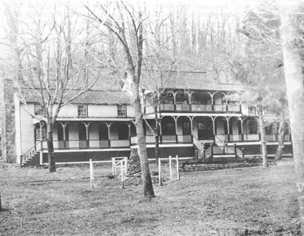 EasyJohnson Farm Loop Trail1.8 mi · 2 hr · 4.6 mi awayEasy loop to the restored 1850s Johnson Farm at Peaks of Otter.
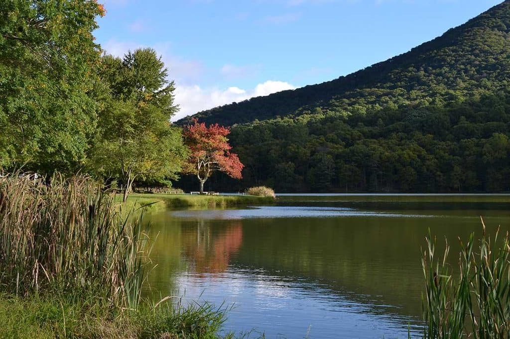 EasyAbbott Lake Loop Trail1 mi · 30 min · 4.7 mi awayPaved one mile lakeside loop with postcard Peaks of Otter views
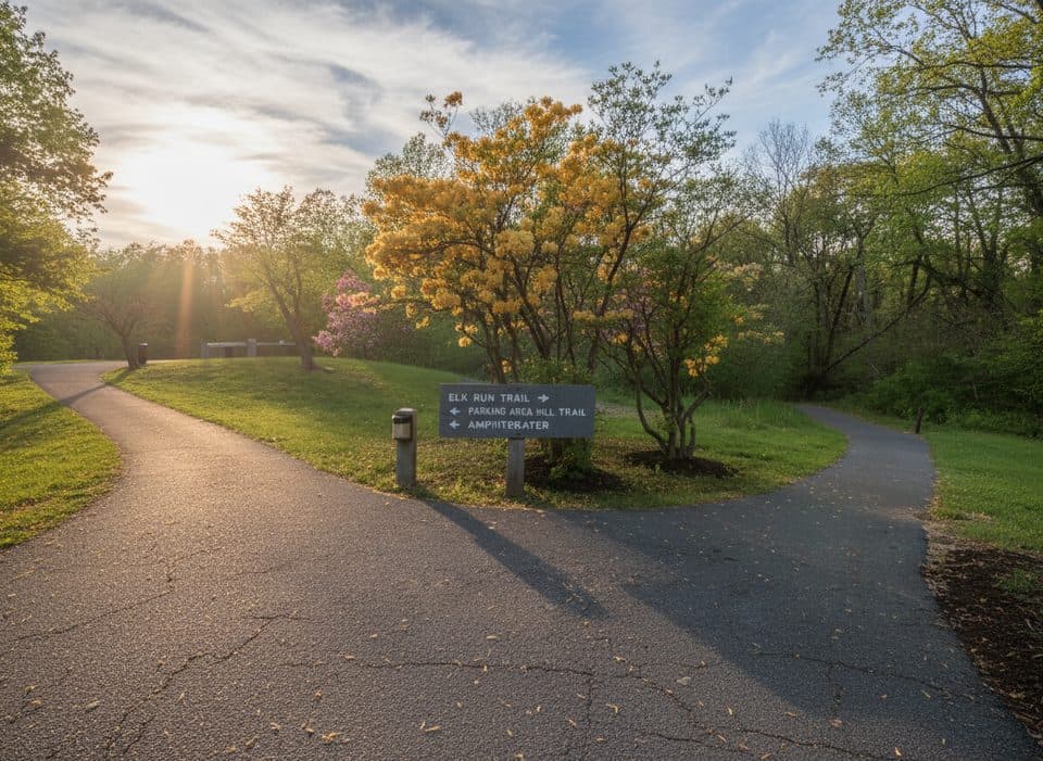 EasyElk Run Trail0.8 mi · 1 hr · 5 mi awayShort, self-guided forest loop behind the Peaks of Otter Visitor Center
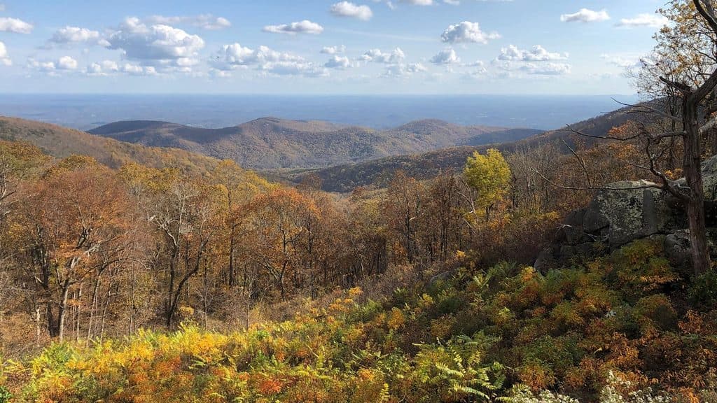 Scenic pullout · 0.3 mi awayOnion Mountain OverlookSmall pullout with big southeast views and a short rock loop
 Trailhead · 1.4 mi awaySunset FieldsBusy trailhead for Apple Orchard Falls, not much of a view
 Scenic pullout · 1.5 mi awayHeadforemost Mountain OverlookQuiet roadside stop with big views of Headforemost Mountain
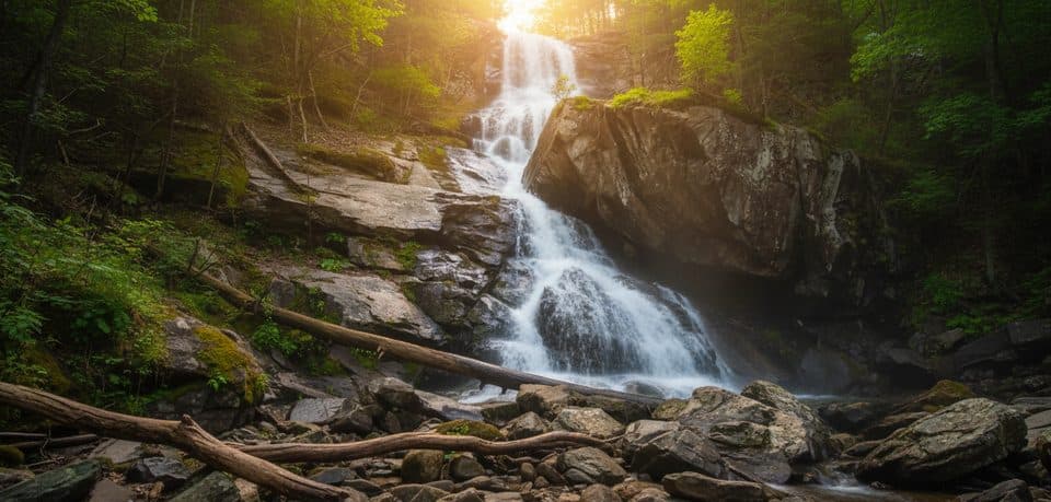 Sight · 1.6 mi awayApple Orchard FallsBig waterfall reached by a steep, scenic creekside hike
 Scenic pullout · 2.8 mi awayApple Orchard Mountain OverlookVirginia’s highest Parkway overlook with easy, big-sky sunrise views
 Sight · 3.7 mi awayFlat Top MountainQuieter Peaks of Otter summit with big views from rocky outcrops
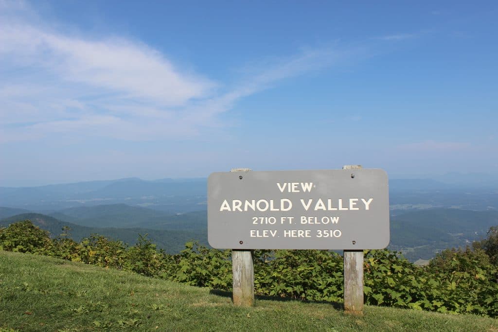 Sight · 3.7 mi awayArnold Valley OverlookBig western views and sunsets over Arnold Valley
 Scenic pullout · 4.2 mi awayThunder Ridge OverlookQuiet overlook with Arnold Valley views and a taste of the AT
Parkwolf’s Blue Ridge Parkway ranking
The audio tour guide for the drive, plus offline maps, trails, and wildlife heatmaps for when the signal drops.