
Place · 1.5 mi away
Challenging
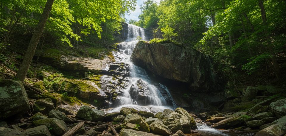
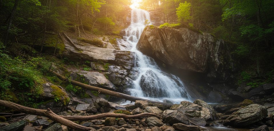
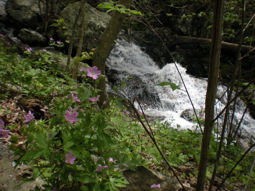
A celebrated Blue Ridge waterfall hike, Apple Orchard Falls rewards the effort with a dramatic, roughly 150–200 ft cascade framed by mossy rock and rhododendron. It’s a classic “down first, up later” route—scenic, a bit sweaty on the return, and very satisfying if you like creeks, bridges, and a big payoff at the end.
Start from Sunset Fields Overlook on the Blue Ridge Parkway (milepost 78.4). The out-and-back to the falls is about 2.8–3.0 miles total, marked with blue blazes. You’ll descend steadily, crossing the Appalachian Trail and a forest service road, then follow lively North Creek toward the falls. Expect roughly 1,000 feet of elevation gain on the way back to the Parkway—moderate for fit hikers, strenuous for some. The tread is natural dirt and rock with roots, plus wooden bridges, steps, and a sturdy viewing deck right at the base of the falls.
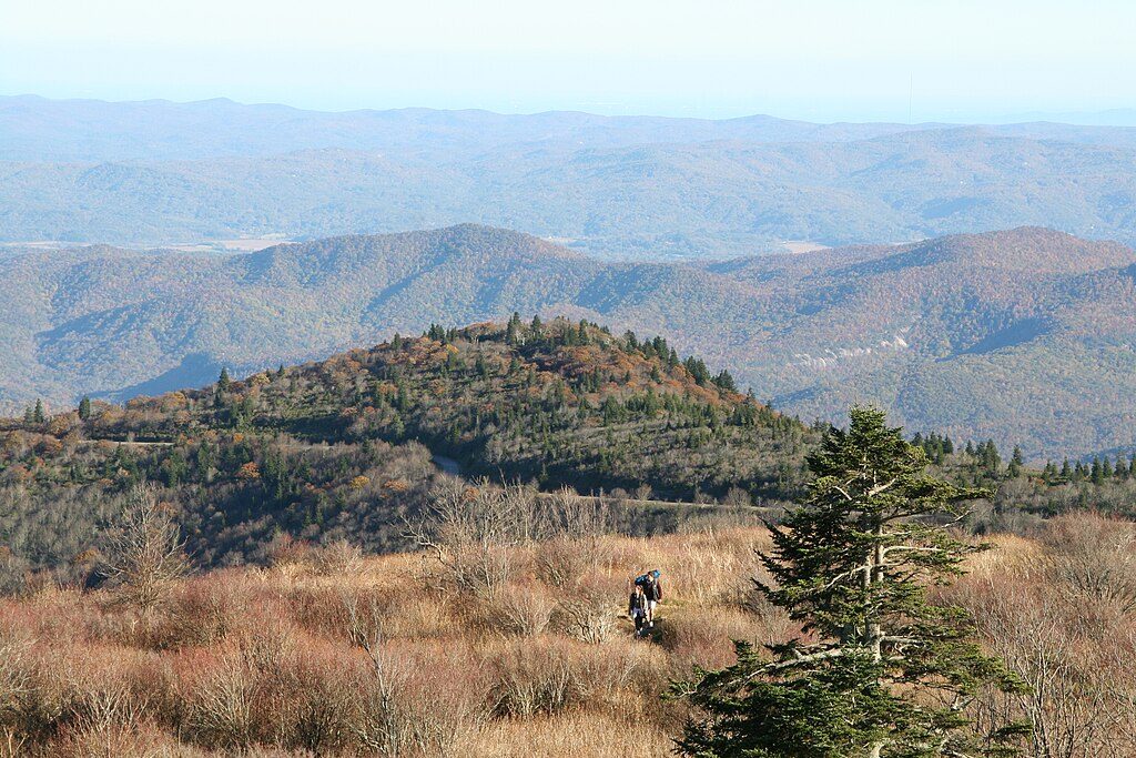
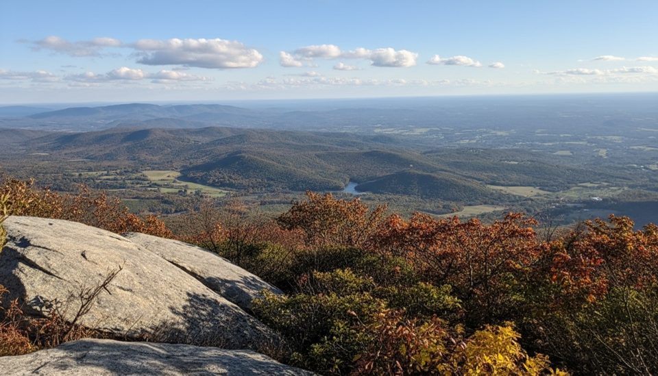
This hike strings together forest singletrack, creek ripples and small cascades, and the headliner waterfall in a lush, shaded hollow. The observation deck below the falls gives an up‑close, spray-in-your-face vantage for photos. Keep an eye on the stunted, weather-beaten trees up high near Apple Orchard Mountain—the area’s namesake “orchard” look comes from wind-sculpted growth rather than planted trees.
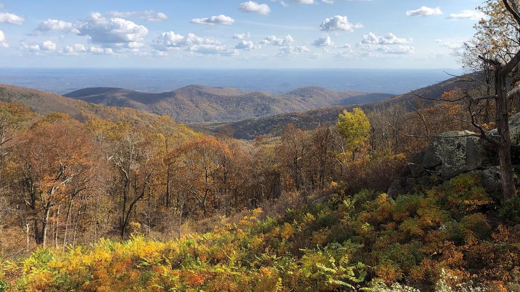
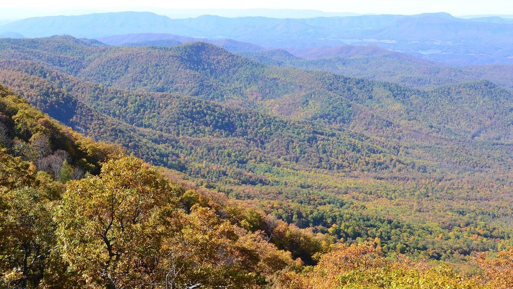
Best after spring rains for maximum flow, and in fall for colorful foliage framing the cascade. Summer stays relatively cool in the shaded creek corridor, but start early to keep the climb out comfortable. Winter can be beautiful too, though icy patches are possible near the water and on steps. If you time it late in the day, enjoy sunset from the parking area at Sunset Fields rather than on the trail.
If you like a strong waterfall payoff and don’t mind earning it on the climb back, this is one of the Parkway’s short-but-mighty hikes. It’s kid-friendly for strong young hikers used to steady ascents. Bring traction and patience if conditions are wet—the steps and rocks near the falls get slick.
Park at Sunset Fields Overlook on the Blue Ridge Parkway (milepost 78.4); kiosk at the trail start.
Steep return climb; slippery rocks and steps near the falls, especially after rain or in winter; ticks and stinging nettles along the creek; no potable water at the trailhead.
Place · 1.5 mi away
Place · 2.1 mi away
Place · 2.2 mi away
Place · 2.5 mi away
Moderate · 3.5 mi away
Easy · 3.5 mi away
Moderate · 4.2 mi away
Challenging · 4.5 mi away

Parkwolf Tour Guide
