Place · 1.6 mi away
Moderate

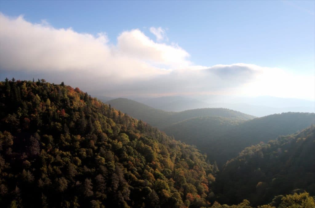
If you like high-country creek walking with real payoff but fewer people than nearby hotspots, Flat Laurel Creek delivers. You’ll wander a broad, high-elevation basin of open meadows, red spruce pockets, and long, lazy stretches beside the namesake creek—with constant sneak peeks at Sam Knob and Black Balsam overhead [hikewnc.info](https://www.hikewnc.info/besthikes/black-balsam/flat-laurel-creek) [internetbrothers.org](https://internetbrothers.org/2011/08/21/flat-laurel-creek-trail-pisgah-national-forest/). Expect wildflower glades in spring, cool air and splashy creek play in summer, and excellent foliage in fall [hikewnc.info](https://www.hikewnc.info/besthikes/black-balsam/flat-laurel-creek) [blueridgemountainlife.com](https://blueridgemountainlife.com/sams-knob-to-flat-laurel-creek-trail-loop-hike/).
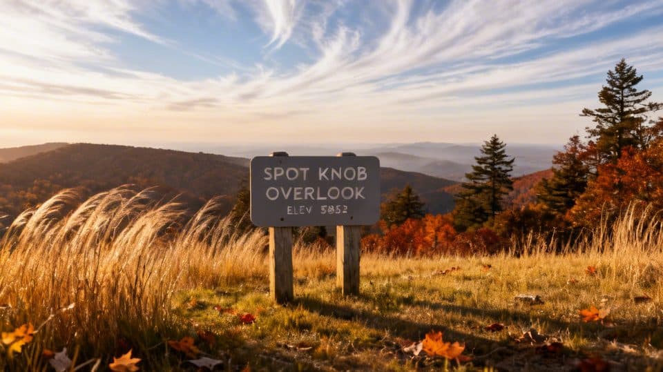
Most hikers start from the large Black Balsam parking area at the end of FS 816 off the Blue Ridge Parkway near MP 420; there are pit toilets here. The trail begins as a wide old roadbed, then narrows and drops to the creek corridor [blueridgemountainlife.com](https://blueridgemountainlife.com/sams-knob-to-flat-laurel-creek-trail-loop-hike/) [ncwaterfalls.com](http://www.ncwaterfalls.com/flat_laurel_creek1.htm). Plan about 7.0 miles total for a full out-and-back along the creek. Prefer variety? Loops and spurs change the mileage—documented options range roughly 3.5–7 miles, and a popular Sam Knob loop variant lands around 4.5 miles with big views from the twin summit [hikewnc.info](https://www.hikewnc.info/besthikes/black-balsam/flat-laurel-creek) [dwhike.com](https://www.dwhike.com/Hikes-in-the-South/North-Carolina-Hikes/Pisgah-NF-Pisgah-District/Upper-Flat-Laurel-Creek-Loop).
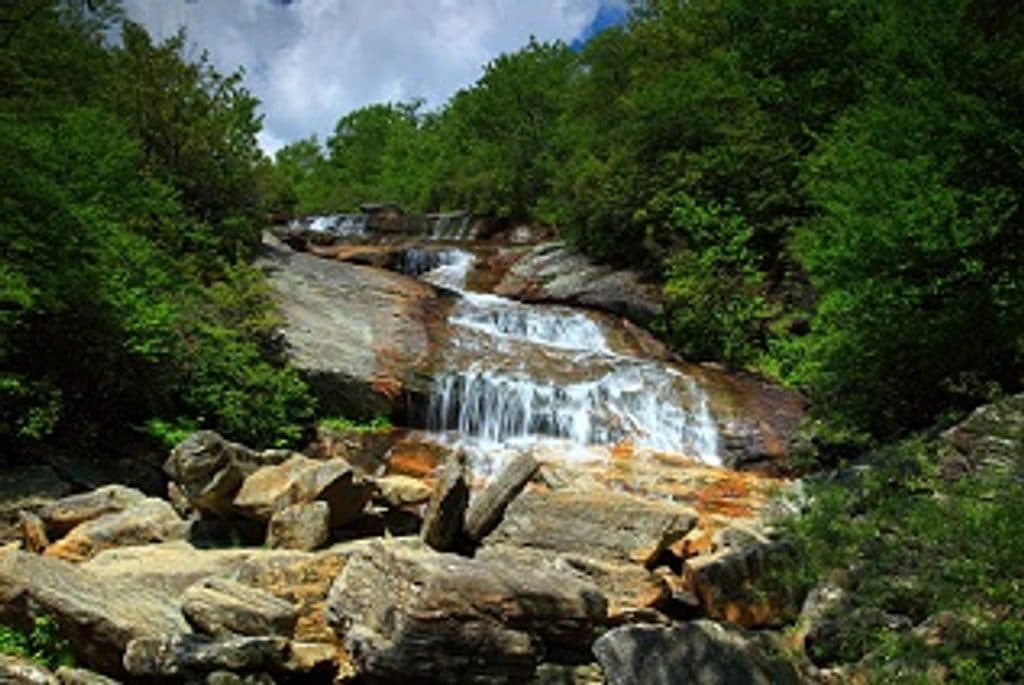
This is a water-lover’s hike: small waterfalls and cascades—including the photogenic Wildcat Falls—punctuate the creek, with pools right off the path [kadamsphoto.com](https://www.kadamsphoto.com/north_carolina_waterfalls/waterfalls-of-flat-laurel-creek/). The basin’s mix of meadows, rhododendron tunnels, and spruce stands keeps the scenery changing, and the valley’s angles give classic perspectives of Sam Knob from below [hikewnc.info](https://www.hikewnc.info/besthikes/black-balsam/flat-laurel-creek) [internetbrothers.org](https://internetbrothers.org/2011/08/21/flat-laurel-creek-trail-pisgah-national-forest/). You’ll also pass established creekside camps and occasional boggy spots that feel wild despite being just off the Parkway [hikewnc.info](https://www.hikewnc.info/besthikes/black-balsam/flat-laurel-creek).
This is moderate hiking: mostly gentle grades thanks to an old logging railroad grade, but the surface is often rocky, wet, and muddy, with several creek crossings that can shift from easy rock-hops to shin-deep wades after rain. Waterproof boots or water shoes are smart in wet seasons; trekking poles help with slick stones [hikewnc.info](https://www.hikewnc.info/besthikes/black-balsam/flat-laurel-creek) [kadamsphoto.com](https://www.kadamsphoto.com/north_carolina_waterfalls/waterfalls-of-flat-laurel-creek/). You may see mountain bikes on segments; it’s a multi-use corridor in places, so share the trail [mtbproject.com](https://www.mtbproject.com/trail/7036841/flat-laurel-creek-346).
Bottom line: If you want a quieter, water-forward hike near the Blue Ridge Parkway with real Southern Appalachian character, this one’s underrated and worth your time—especially if you tack on Sam Knob for the grandstand views [blueridgemountainlife.com](https://blueridgemountainlife.com/sams-knob-to-flat-laurel-creek-trail-loop-hike/) [dwhike.com](https://www.dwhike.com/Hikes-in-the-South/North-Carolina-Hikes/Pisgah-NF-Pisgah-District/Upper-Flat-Laurel-Creek-Loop).
Large lot with pit toilets at the end of Black Balsam Road (FS 816) off the Blue Ridge Parkway near MP 420; arrive early on busy weekends [ncwaterfalls.com](http://www.ncwaterfalls.com/flat_laurel_creek1.htm) [blueridgemountainlife.com](https://blueridgemountainlife.com/sams-knob-to-flat-laurel-creek-trail-loop-hike/).
Expect wet, rocky footing and several creek crossings; water levels can make crossings hazardous. Weather changes quickly at high elevation. Winter closures of the Parkway and FS 816 are common.