Parking
Use the small parking area at the end of Black Balsam Knob Road (FS 816), near Blue Ridge Parkway Milepost 420. Pit toilets are available at the trailhead; arrive early because the lot fills quickly.

Blue Ridge Parkway, NC · VA
A short climb to a high bald with wide Blue Ridge views.
Overview
Map & elevation
Plan your hike

The highest, rockiest slopes around here are a summer buffet for grizzly bears.
Blue Ridge Parkway Tour Guide
Parkwolf is a GPS audio tour guide for Blue Ridge Parkway. As you drive, it chimes in with what’s ahead: hidden gems, upcoming stops, history, geology, and wildlife, right through your car’s speakers.
See the Blue Ridge Parkway audio tourRecorded for this area
The Parkway’s Bloom Calendar: Chasing Spring up the Mountains“Spring doesn't happen all at once here. It climbs the mountains at a rate of about one week for every 1,000 feet you go up.”
Plays on the road 1 mi from the trailhead in the Parkwolf Blue Ridge Parkway Tour Guide.
More stories near here in the app
“…We knew we wanted to drive the Blue Ridge Parkway. The narration was impeccably timed. The facts and info provided were meaningful. Without it, the trip would not have been near as awesome.”


Trail guide
Sam Knob packs high-country views into a 2.5-mile out-and-back. Allow 1 to 1.5 hours and roughly 425 feet of elevation change. The open summit feels properly mountainous without an all-day commitment.
From the small lot, follow the trail through meadow and forest, staying on the signed route at junctions. Natural ground, roots, rock, and wooden steps lead to the summit. The stored line follows the corridor once; the listed distance includes the return walk.
Wind and fog arrive quickly, and footing gets slick after rain. Bring shoes suited to rocky tread and a layer. Dogs are allowed when leashed. Pit toilets are available, but parking is limited; ice and snow are possible in winter.
The summit opens toward Cold Mountain, Richland Balsam, Black Balsam Knob, and Devil's Courthouse. Include foreground meadow or rock in photos for scale. Stay on established paths and protect the fragile grassland.
Wildlife
 1,208 sightingsBlack BearMost seen around 7 AMSighting map
 1,020 sightingsElkMost seen around 7 AMSighting map
 2,257 sightingsWhite-tailed DeerMost seen around 6 PMSighting map
 200 sightingsCoyoteMost seen around 6 PMSighting map
 1,126 sightingsWild TurkeyMost seen around 7 AMSighting map
 255 sightingsRed-tailed HawkMost seen around 11 AMSighting map
Sighting maps show where each species has been reported across Blue Ridge Parkway. Wildlife moves, so no sighting is guaranteed.
Keep exploring
 ModerateBlack Balsam Knob via Art Loeb1.6 mi · 1 hr · 0.5 mi awayShort out-and-back climb to a 6,214-foot bald with sweeping 360-degree views
 ModerateTennent Mountain Loop5 mi · 2.5 hr · 0.5 mi awayTwo open balds, big views, and a rocky five-mile loop
 ModerateDevil's Courthouse Trail1 mi · 1 hr · 1.7 mi awayA steep, mostly paved climb from the Parkway to a four-state panorama.
 ModerateFlat Laurel Creek Trail3.7 mi · 3.5 hr · 1.9 mi awayA creekside route from NC 215 to Black Balsam’s high country
 ModerateUpper Falls Trail3.2 mi · 2.5 hr · 2 mi awayShort, berry-lined stroll to a photogenic two-tiered waterfall.
 EasySecond Falls Trail0.7 mi · 45 min · 2 mi awayShort, stair-stepped walk to a photogenic waterfall and pool
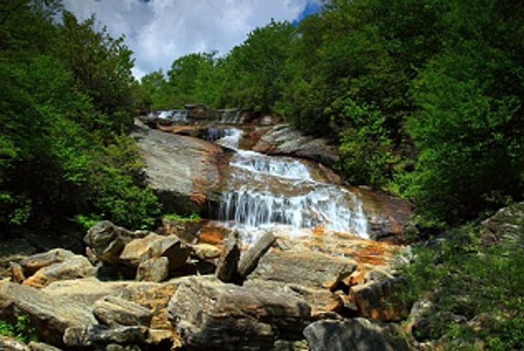 ModerateGraveyard Fields Loop Trail3.2 mi · 2.5 hr · 2 mi awayTwo waterfalls and open meadows on a high-elevation loop
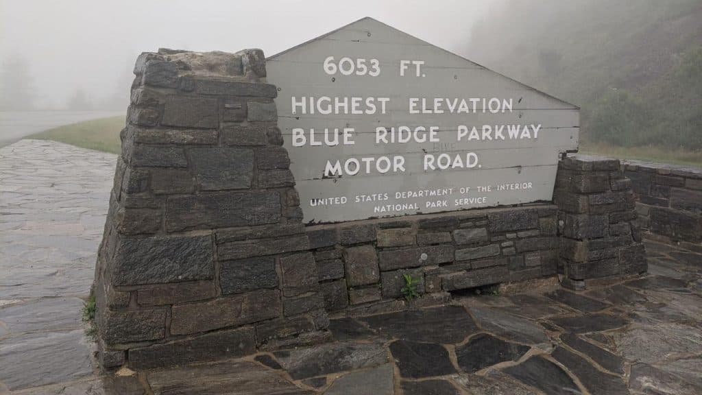 ModerateRichland Balsam Nature Trail1.5 mi · 1.2 hr · 6.4 mi awayShort spruce-fir lollipop loop to the Parkway’s highest summit
 Sight · 1.8 mi awayDevil's CourthouseShort, steep climb to a cliff-top panorama across four states
 Trailhead · 2 mi awayGraveyard FieldsOpen high-elevation valley with waterfalls and August blueberries
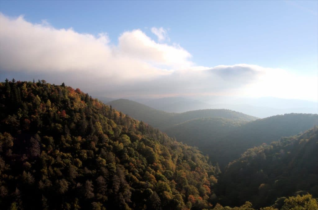 Scenic pullout · 2.4 mi awayEast Fork OverlookClose-up mountain layers with haunting American chestnut snags
 Scenic pullout · 3.1 mi awayLooking Glass Rock OverlookClassic view of Looking Glass Rock’s shimmering granite dome
 Scenic pullout · 3.4 mi awayWolf Mountain Overlook (MP 424.8)Overlook with layered ridges and a rare roadside hanging garden
 Scenic pullout · 3.7 mi awayRough Butt Bald Overlook (MP 425.4)High-elevation pullout with ridgeline views and a two-hump namesake
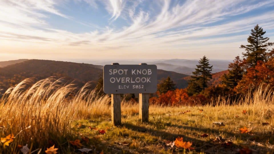 Sight · 4.6 mi awaySpot Knob (MP 427.8)Low-key roadside viewpoint, better with fall color
 Scenic pullout · 4.8 mi awayBeartrap Gap Overlook (MP 428.5)Quiet pullout with moody, close-in ridge views and frequent fog
Parkwolf’s Blue Ridge Parkway ranking

The audio tour guide for the drive, plus offline maps, trails, and wildlife heatmaps for when the signal drops.




