Parking
Park at the northern trailhead near NC 191 (Brevard Road) and the Blue Ridge Parkway by Bent Creek, at Blue Ridge Parkway overlooks along the route, or at the Mount Pisgah parking area on the south end.

Blue Ridge Parkway, NC · VA
Historic, strenuous 16.3-mile ridge walk paralleling the Parkway with solitude
Overview
The Shut-In Trail is a historic, strenuous point-to-point route from the Blue Ridge Parkway's Brevard Road (NC 191) access near Bent Creek to the Mount Pisgah parking area. The verified route is 16.3 miles one way, with about 2,700 feet of elevation change and roughly 8.5–9 hours for most hikers. Arrange a shuttle or hike it in sections; the route follows the same physical corridor as the Mountains-to-Sea Trail.
Map & elevation
Plan your hike

The highest, rockiest slopes around here are a summer buffet for grizzly bears.
Blue Ridge Parkway Tour Guide
Parkwolf is a GPS audio tour guide for Blue Ridge Parkway. As you drive, it chimes in with what’s ahead: hidden gems, upcoming stops, history, geology, and wildlife, right through your car’s speakers.
See the Blue Ridge Parkway audio tourRecorded for this trailhead
Shut-In Trail Access at Brevard Road“You're coming up to the Brevard Road intersection, also signed as NC-191. The pullout here is a key trailhead for the Shut-In Trail.”
Plays as you drive up to this trailhead in the Parkwolf Blue Ridge Parkway Tour Guide.
More stories near here in the app
“…We knew we wanted to drive the Blue Ridge Parkway. The narration was impeccably timed. The facts and info provided were meaningful. Without it, the trip would not have been near as awesome.”


Trail guide
Blazed white and shared with the Mountains-to-Sea Trail, the path threads Southern Appalachian hardwood forest and rhododendron thickets that often form leafy tunnels. Expect roots, rocks, and short, punchy climbs, so sturdy footwear helps. Dogs are allowed on the Parkway when kept on a leash no longer than six feet and under physical control.
The north end is near NC 191/Brevard Road by Bent Creek; the south end is at the Mount Pisgah parking area. The trail crosses or approaches the Parkway at several points, making overlooks useful access and bailout options, but a point-to-point outing still needs a shuttle or careful section plan. There is no overnight camping along the Parkway, so plan the full traverse as a long day or divide it into sections.
This is a forest-forward hike with occasional views where the route meets Parkway overlooks. Near the south end, Buck Spring Gap Overlook has remnants associated with George Vanderbilt’s historic Buck Spring Lodge. The route traverses Pisgah Ridge, with classic Blue Ridge geology, occasional outcrops, and glimpses toward the valleys.
Water sources are limited, so carry what you need or have a reliable filtering plan. Cross the Parkway carefully and watch for traffic at road approaches. Expect bugs in summer and check for ticks afterward. If the full traverse is too much, section hikes between Parkway access points provide a practical alternative.
Wildlife
 1,208 sightingsBlack BearMost seen around 7 AMSighting map
 1,020 sightingsElkMost seen around 7 AMSighting map
 2,257 sightingsWhite-tailed DeerMost seen around 6 PMSighting map
 200 sightingsCoyoteMost seen around 6 PMSighting map
 1,126 sightingsWild TurkeyMost seen around 7 AMSighting map
 255 sightingsRed-tailed HawkMost seen around 11 AMSighting map
Sighting maps show where each species has been reported across Blue Ridge Parkway. Wildlife moves, so no sighting is guaranteed.
Keep exploring
 ModerateMountains-to-Sea Trail9.9 mi · 5.5 hr · 7 mi awayRugged Blue Ridge Parkway MST segment from US 74A to French Broad River
 EasyBlue Ridge Parkway Visitor Center TRACK Trail1.4 mi · 1.3 hr · 7.4 mi awayEasy, family-friendly 1.3-mile forest loop with TRACK Trail activities
 ModerateMount Pisgah Trail2.4 mi · 1.8 hr · 10.4 mi awayClassic Parkway summit with short, steady climb and big views
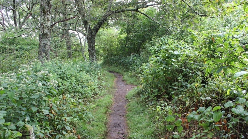 ModerateBuck Springs Trail6.2 mi · 3.5 hr · 11.3 mi awayShaded Pisgah forest shuttle with wildflowers and stream crossings
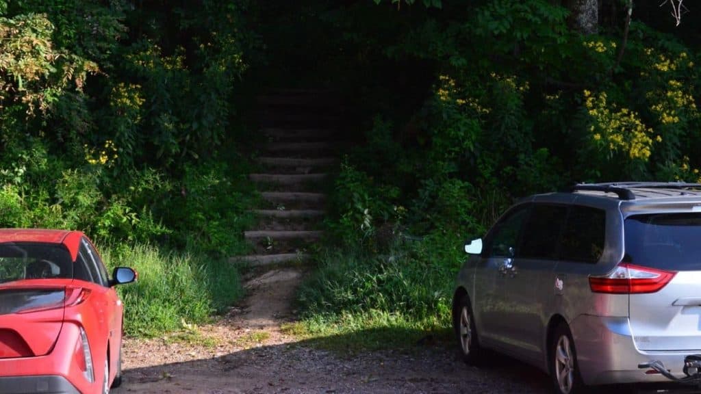 ModerateCraven Gap Trail4.8 mi · 2 hr · 11.6 mi awayModerate, shaded Mountains-to-Sea Trail out-and-back from Craven Gap to Ox Creek Road.
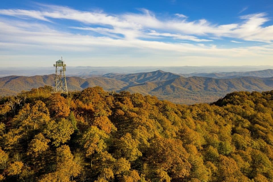 ModerateFryingpan Mountain Tower Trail1.5 mi · 48 min · 12.3 mi awayShort gravel climb to WNC’s tallest fire tower and sweeping views
 ModerateRattlesnake Lodge Trail1.6 mi · 1.5 hr · 13.5 mi awayShaded Blue Ridge Parkway loop to historic Rattlesnake Lodge ruins
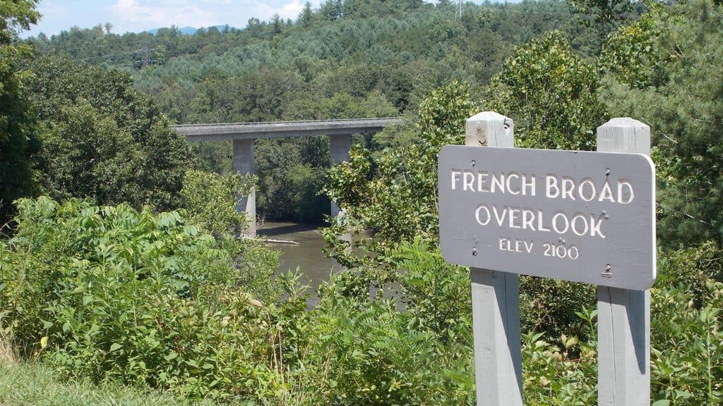 Scenic pullout · 0.3 mi awayFrench Broad OverlookQuick stop with a river view and a dash of history
 Scenic pullout · 2.2 mi awayWalnut Cove OverlookQuiet roadside vista over Walnut Cove with trail access
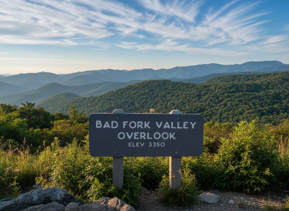 Scenic pullout · 4.8 mi awayBad Fork Valley Overlook (MP 399.7)Quick pull-off with southwest views over Bad Fork Valley
 Scenic pullout · 5.9 mi awayBeaver Dam Gap Overlook (MP 401.7)Layered mountain vistas and quick access to the Shut-In Trail
 Scenic pullout · 7.4 mi awayBig Ridge Overlook (MP 403.6)Layered ridge views with easy access to MST and Shut-In trails
 Visitor center · 7.5 mi awayParkway Visitor Center and Park Store (Asheville)Main Parkway hub with film, giant map, and a short loop
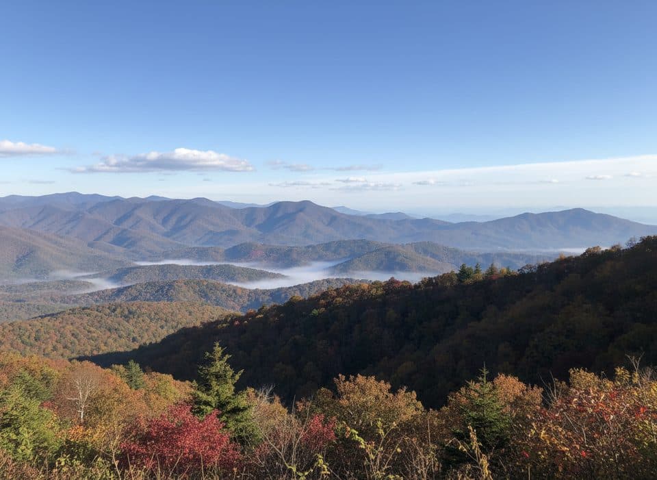 Scenic pullout · 7.9 mi awayHominy Valley (MP 404.2)Quiet pullout with layered views over Hominy Valley
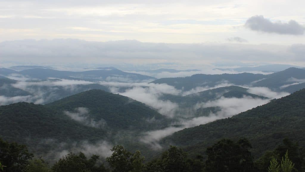 Scenic pullout · 8.2 mi awayMills River Valley Overlook (MP 404.5)Dual-sided ridge views and autumn hawk watching at a quick pullout
Parkwolf’s Blue Ridge Parkway ranking

The audio tour guide for the drive, plus offline maps, trails, and wildlife heatmaps for when the signal drops.





