
Place · 0 mi away
Moderate
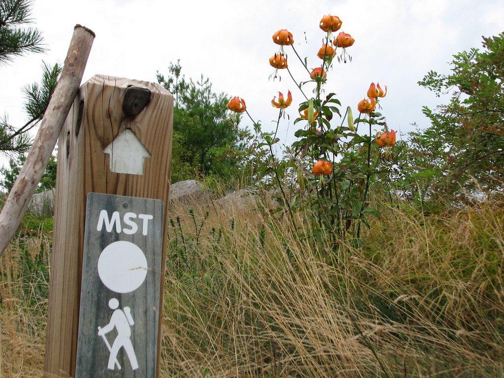
This Blue Ridge Parkway corridor of the Mountains-to-Sea Trail (MST) gives you classic high-country scenery with the convenience of frequent Parkway access. Expect a mix of quiet forested ridges, short connector hops near overlooks, and periodic sweeping vistas—all with the flexibility to tailor your mileage using the many road crossings.
The commonly hiked point-to-point stretch from US 74A to the French Broad River is 10.7 miles one way (plan a shuttle), typically taking 4–5 hours. It’s mostly natural singletrack—dirt with rocky, rooty bits and occasional mud after rain—and gains about 1,515 feet overall. Don’t be fooled by the easy access: this segment is popular and “quite rugged,” with steady climbs and descents between river corridor and ridges.
Wildlife and natural history are part of the draw. Keep an eye out for white-tailed deer and wild turkey, and be bear aware in all seasons. You’ll walk through mature Southern Appalachian forests and along ridgelines shaped by some of the oldest mountains on Earth.
Best time to hike: Fall is prime for color and crisp air. Spring brings wildflowers and fresh green canopy. Summer stays pleasant on the ridges but can be warm in lower sections—start early. Winter is doable but be ready for ice and closures; conditions change fast with elevation. For fewer people, hit weekdays or start at dawn; near visitor centers and major overlooks you’ll see more traffic year-round.
Tips: Use the many Blue Ridge Parkway crossings to set up shuttles or chop the route into smaller legs. Hiking poles help on the steeper, rockier descents. Dress in layers—weather can swing quickly—and carry more water than you think you’ll need since reliable sources are spaced out. This is a footpath; dogs are allowed but must stay leashed. No permit is needed for day hikes.
Is it worth it? Absolutely—if you want flexible, big-view mountain hiking without committing to deep backcountry. If you prefer solitude, pick a weekday and aim for the longer stretches between major overlooks.
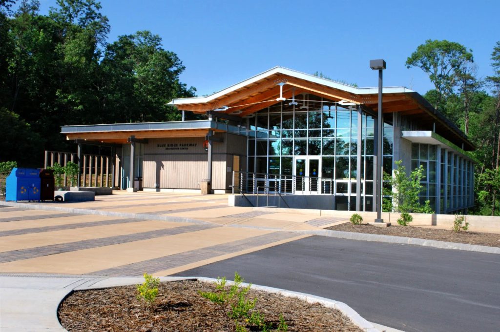
Best for this segment: park at the Blue Ridge Parkway Visitor Center (Asheville) or at the US 74A access and arrange a shuttle using BRP crossings.
Rugged despite easy access; steep grades and uneven footing. Weather shifts quickly with elevation; carry layers and water. Bear activity is common—give wildlife space. Winter can bring ice and occasional closures.
Place · 0 mi away

Place · 1.9 mi away
Place · 3.5 mi away
Place · 6 mi away
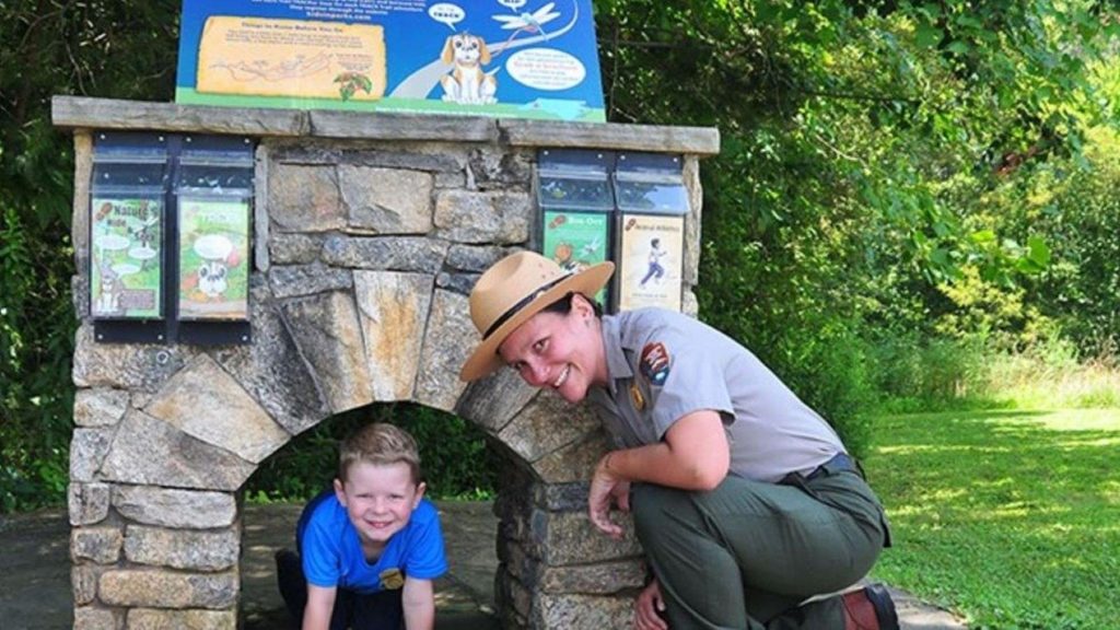
Easy · 0 mi away
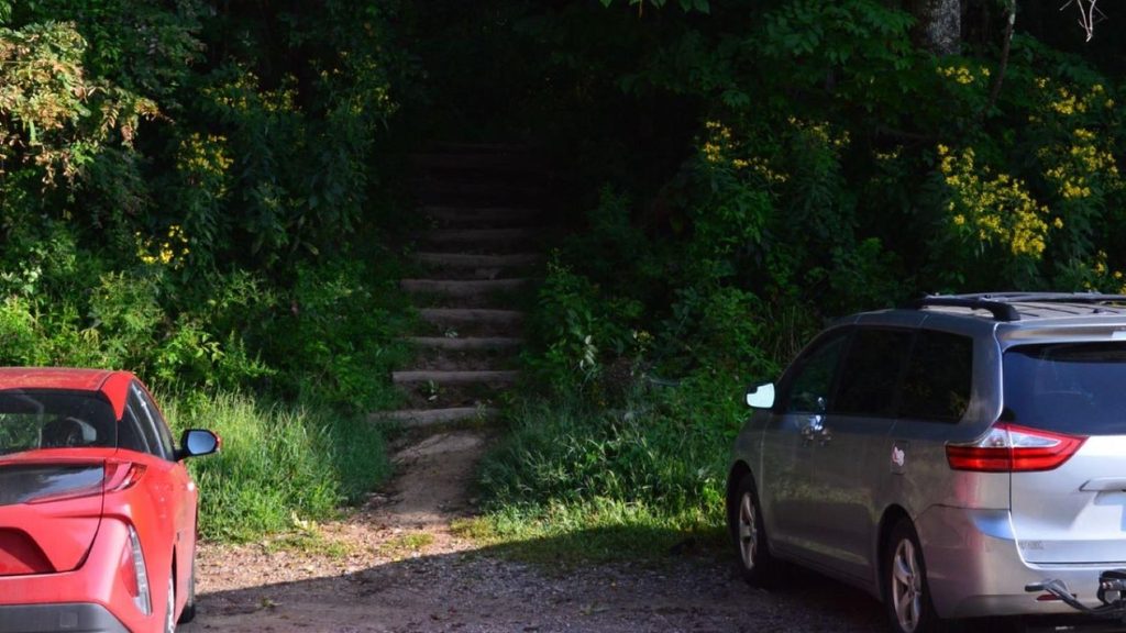
Easy · 5.7 mi away
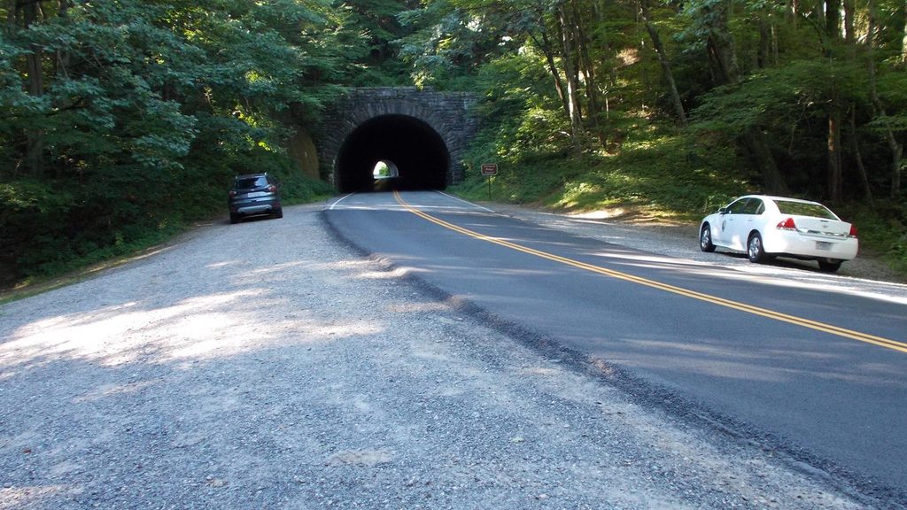
Moderate · 7 mi away
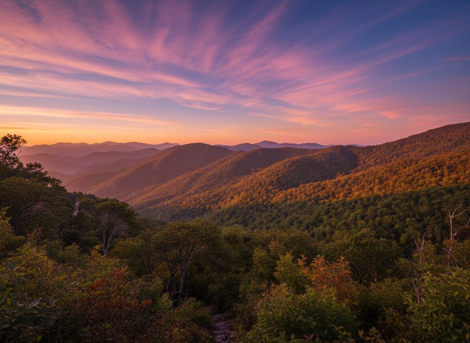
Challenging · 7.5 mi away

Parkwolf Tour Guide
