Parking
Limited gravel/dirt pull-offs on the south side of Tanbark Ridge Tunnel at Blue Ridge Parkway Milepost 374.4. Pull off slowly and keep clear of Parkway traffic; the trail begins on the west side beside the cascading creek.

Blue Ridge Parkway, NC · VA
Shaded Blue Ridge Parkway loop to historic Rattlesnake Lodge ruins
Overview
Short, shaded loop to the historic Rattlesnake Lodge ruins from the Blue Ridge Parkway's Tanbark Ridge Tunnel trailhead. The mapped visitor loop is about 1.6 miles (the complete OSM corridor measures 1.58 miles) and typically takes about 1.5 hours, with roughly 400–600 feet of climbing. Mileage varies slightly with the pull-off and how the two creek-side trail termini are counted.
Map & elevation
Plan your hike

The highest, rockiest slopes around here are a summer buffet for grizzly bears.
Blue Ridge Parkway Tour Guide
Parkwolf is a GPS audio tour guide for Blue Ridge Parkway. As you drive, it chimes in with what’s ahead: hidden gems, upcoming stops, history, geology, and wildlife, right through your car’s speakers.
See the Blue Ridge Parkway audio tourRecorded for this trailhead
Rattlesnake Lodge: A Walk to Historic Ruins“The trailhead ahead is for Rattlesnake Lodge. This isn't a stop for a big mountain view, but for a really interesting walk through the woods.”
Plays as you drive up to this trailhead in the Parkwolf Blue Ridge Parkway Tour Guide.
More stories near here in the app
“…We knew we wanted to drive the Blue Ridge Parkway. The narration was impeccably timed. The facts and info provided were meaningful. Without it, the trip would not have been near as awesome.”


Trail guide
From the south end of Tanbark Ridge Tunnel at Parkway Milepost 374.4, park in the dirt pull-offs and start on the west side of the Parkway beside the cascading creek. The two blue-blazed branches climb steadily to the Rattlesnake Lodge site and connect with the white-circle Mountains-to-Sea Trail (MST). Follow the MST past the lodge area and rock chimney, then take the other blue-blazed branch back toward the pull-offs to complete the short loop. The stored line follows both named branch corridors and the mapped MST connector; the two trail termini are separated by the roadside access area, so the geometry does not invent a road-side shortcut.
The wooded route is shaded and mostly dirt and rock with roots, steady climbing, and few summer views. At the historic site, look for foundations, retaining walls, the spring house area, and the fallen rock chimney from Dr. Chase P. Ambler’s early-1900s summer retreat.
Parking is limited to gravel or dirt pull-offs on the south side of the tunnel. Pull off slowly, stay out of the Parkway, and never walk in the tunnel. Poison ivy, uneven rocks and roots, slick surfaces, and winter ice are possible. Pets are allowed on a leash no longer than six feet. Leave the ruins and wildlife undisturbed.
Wildlife
 1,208 sightingsBlack BearMost seen around 7 AMSighting map
 1,020 sightingsElkMost seen around 7 AMSighting map
 2,257 sightingsWhite-tailed DeerMost seen around 6 PMSighting map
 200 sightingsCoyoteMost seen around 6 PMSighting map
 1,126 sightingsWild TurkeyMost seen around 7 AMSighting map
 255 sightingsRed-tailed HawkMost seen around 11 AMSighting map
Sighting maps show where each species has been reported across Blue Ridge Parkway. Wildlife moves, so no sighting is guaranteed.
Keep exploring
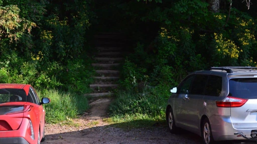 ModerateCraven Gap Trail4.8 mi · 2 hr · 2.1 mi awayModerate, shaded Mountains-to-Sea Trail out-and-back from Craven Gap to Ox Creek Road.
 ChallengingSnowball Mountain Trail2.7 mi · 2 hr · 4.3 mi awayA short ridge hike to Hawkbill Rock, with a steep climb
 ModerateCraggy Gardens Trail1.6 mi · 1 hr · 5.1 mi awayRhododendron-lined out-and-back from the visitor center to Craggy Gardens Picnic Area
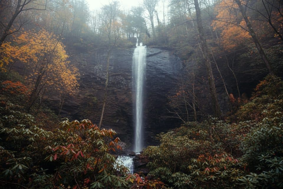 ChallengingDouglas Falls Trail6.6 mi · 5.5 hr · 5.2 mi awayRugged trek to a 70-foot waterfall through wild, hemlock forest
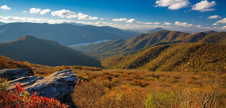 EasyPinnacle Trail1.4 mi · 45 min · 5.6 mi awayShort climb, giant views, and classic rhododendron tunnels
 EasyBlue Ridge Parkway Visitor Center TRACK Trail1.4 mi · 1.3 hr · 7.1 mi awayEasy, family-friendly 1.3-mile forest loop with TRACK Trail activities
 ModerateMountains-to-Sea Trail9.9 mi · 5.5 hr · 7.4 mi awayRugged Blue Ridge Parkway MST segment from US 74A to French Broad River
 ChallengingLittle Butt Trail4.8 mi · 4 hr · 9.2 mi awayHigh-elevation ridge hike to a rocky overlook with big views
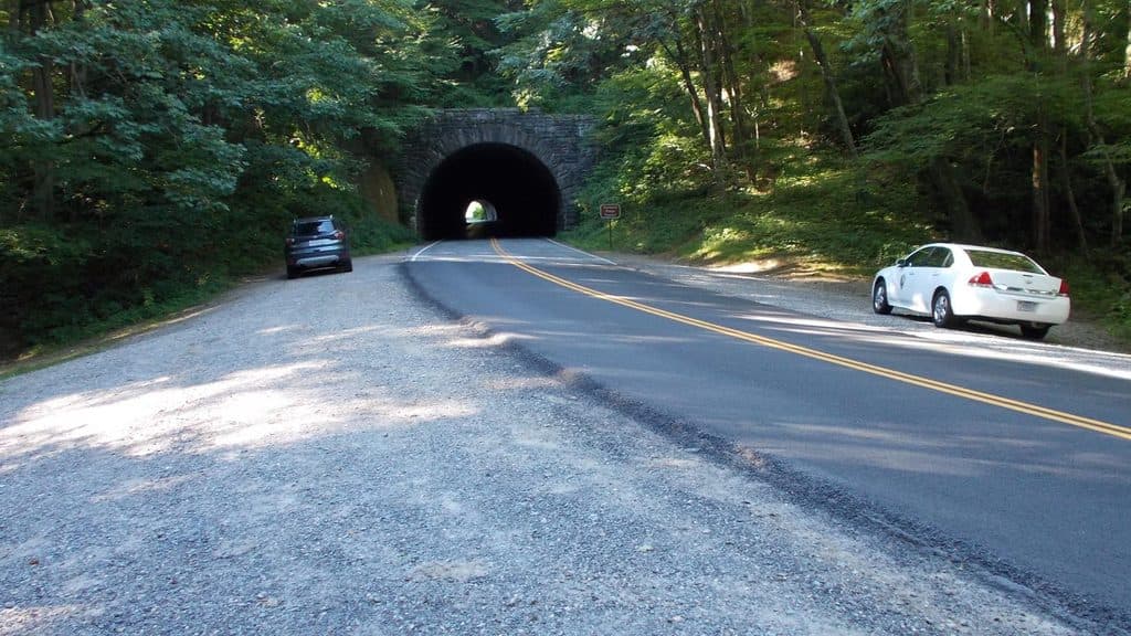 Sight · 0.4 mi awayRattlesnake LodgeHistoric lodge ruins off the Parkway with quiet, shady hiking
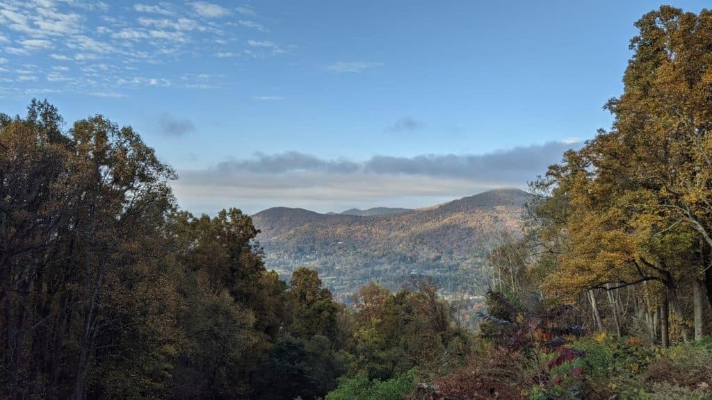 Scenic pullout · 0.7 mi awayBull Creek Valley Overlook (MP 373.8)Roadside valley view with a quirky bison-backstory sign
 Scenic pullout · 1.1 mi awayLane Pinnacle Overlook (MP 372.1)Southeast-facing stop with Swannanoa Valley and Craggies in one frame
 Scenic pullout · 1.6 mi awayTanbark Ridge OverlookQuick pullout with big mountain views just outside Asheville
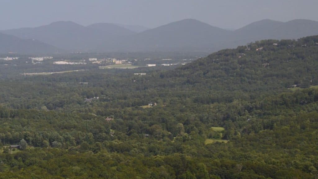 Scenic pullout · 3.8 mi awayHaw Creek Valley (MP 380.0)Quick overlook with big sunset views near Asheville
 Picnic area · 4.6 mi awayCraggy Gardens Picnic AreaHigh-elevation picnic hub with trails and June rhododendrons
 Visitor center · 5.1 mi awayFolk Art CenterPremier Appalachian craft galleries with daily demos and a solid info stop
 Visitor center · 5.2 mi awayCraggy Gardens Visitor’s Center;Craggy GardensHigh-elevation views and June rhododendron blooms with easy hikes
Parkwolf’s Blue Ridge Parkway ranking

The audio tour guide for the drive, plus offline maps, trails, and wildlife heatmaps for when the signal drops.





