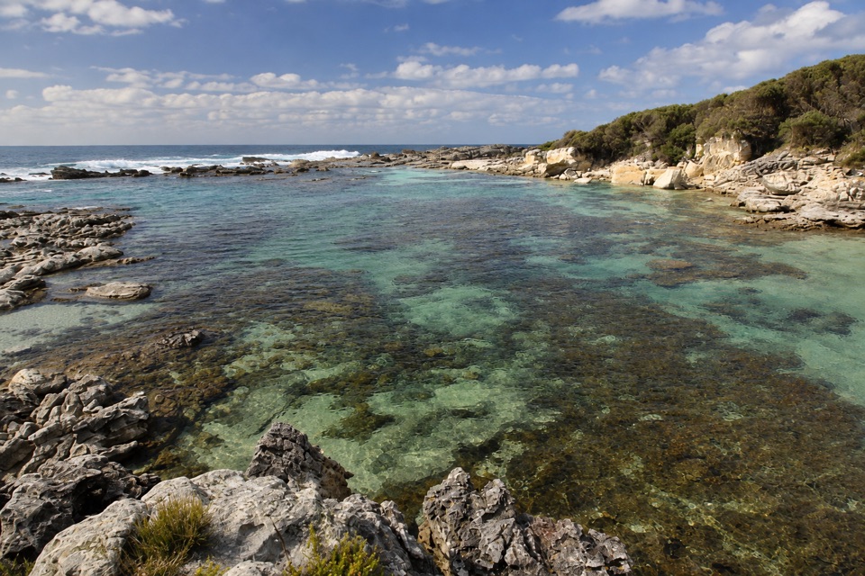
Stony Creek in Booderee National Park

Beach · Booderee National Park

Stony Creek

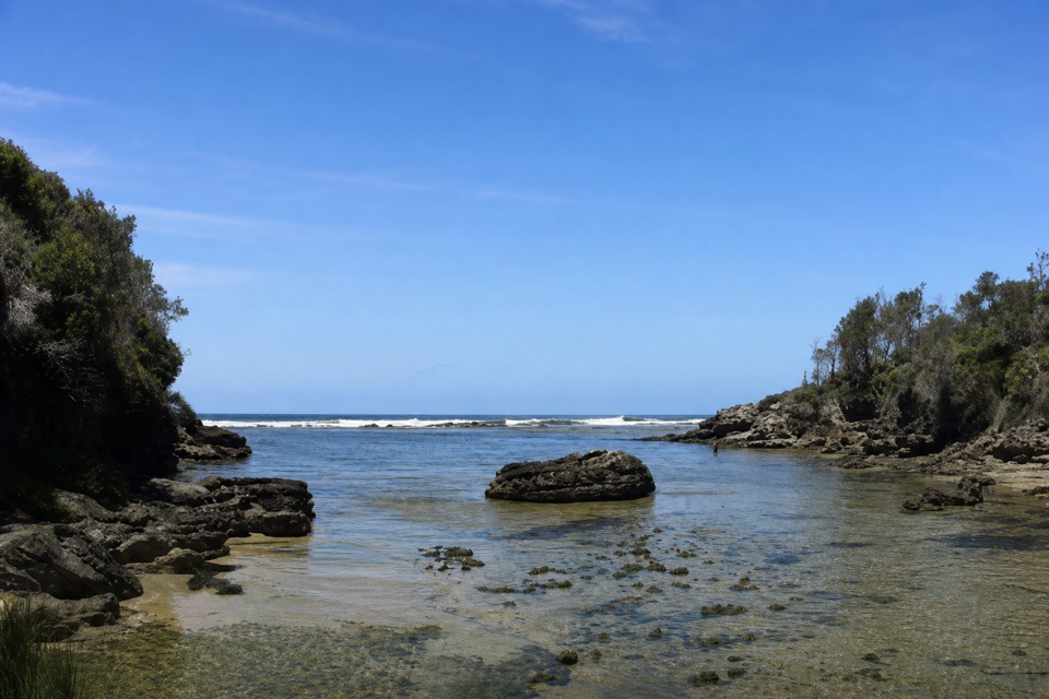
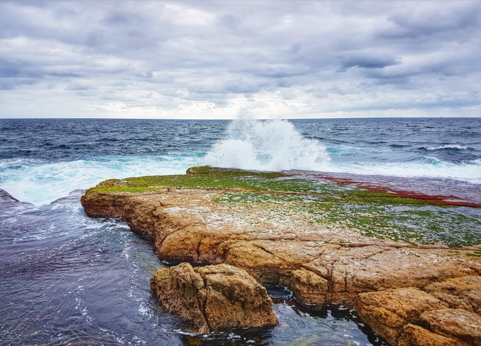
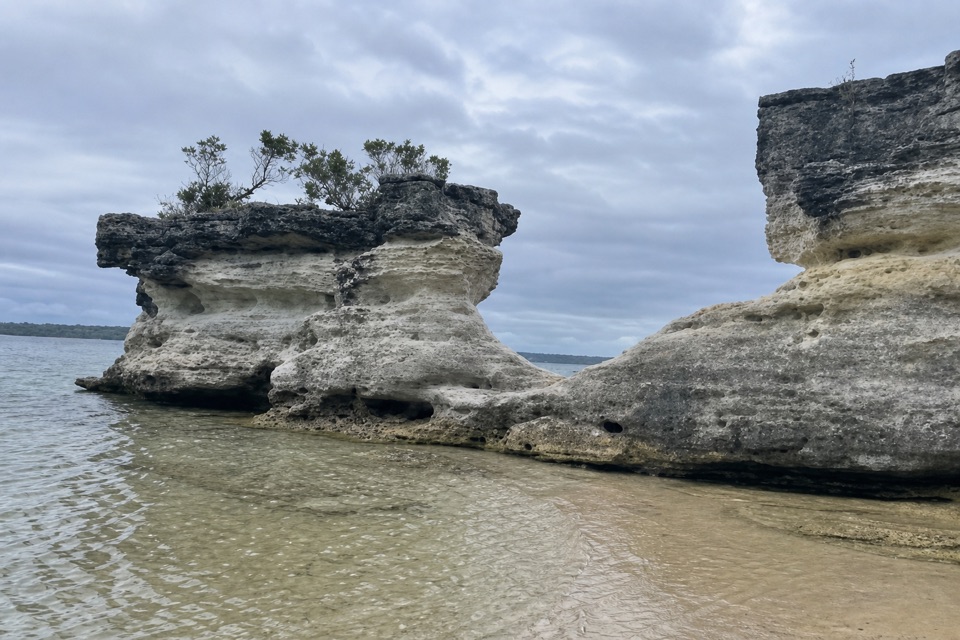
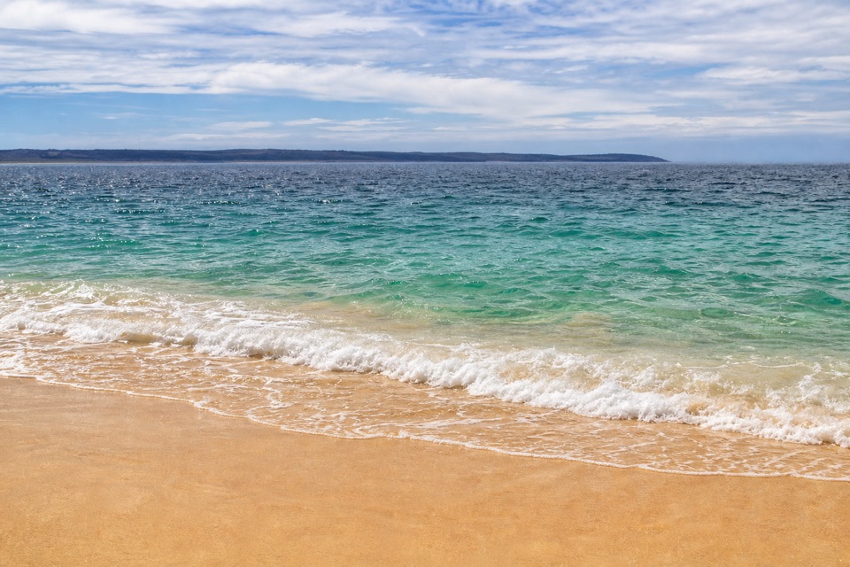
Clear pools behind wave-washed rock make this a quick snorkel stop.

Type
Beach
Nearest trail
0.1 km
Audio stories
5 nearby
  • Parking

Hear the audio tour

Stony Creek: Tidal Pools

Overview

About Stony Creek

Why stop

  • Clear, sheltered pools suit a short swim or snorkel.

Heads up

  • Rocky footing and very little sand limit beach-style lounging.

Map

Where it is

Loading the Booderee map
Full map
BeachStony Creek-35.16737, 150.75438
Keep this map with you offline in the Parkwolf app

Plan your stop

Before you go

3 active Booderee alerts

  • CautionH5 avian influenza detectedH5 avian influenza (bird flu) has been detected in a greater crested tern in Booderee National Park; the park remains open, but visitors must avoid contact with sick or dead wildlife.Official details
  • ClosureIluka Beach access closedIluka Beach day-use area and beach-access staircase are closed while repair works are carried out, leaving Iluka Beach inaccessible via the beach track.Official details

See all 3 alerts
A park ranger sits on a dash-mounted phone, talking, as Parkwolf’s Tour Guide plays “Army Cutworm Moths: A Grizzly Bear Buffet” on Grand Loop Road below Dunraven Pass in Yellowstone
Parkwolf Tour GuideThe highest, rockiest slopes around here are a summer buffet for grizzly bears.

Booderee Tour Guide

Your drive to Stony Creek, narrated.

Parkwolf is a GPS audio tour guide for Booderee National Park. As you drive, it chimes in with what’s ahead: hidden gems, upcoming stops, history, geology, and wildlife, right through your car’s speakers.

Recorded for this place

Stony Creek: Tidal Pools
0:00 / 0:24
“You're approaching Stony Creek's car park, with a short, rocky walk down to a little coastal cove. Choose this for a look at the tidal pools; there's very little sand for settling in on the beach.”

Plays as you drive up to Stony Creek in the Parkwolf Booderee Tour Guide.

More stories near here in the app

  • Moes Rock: Surf over the Shelf
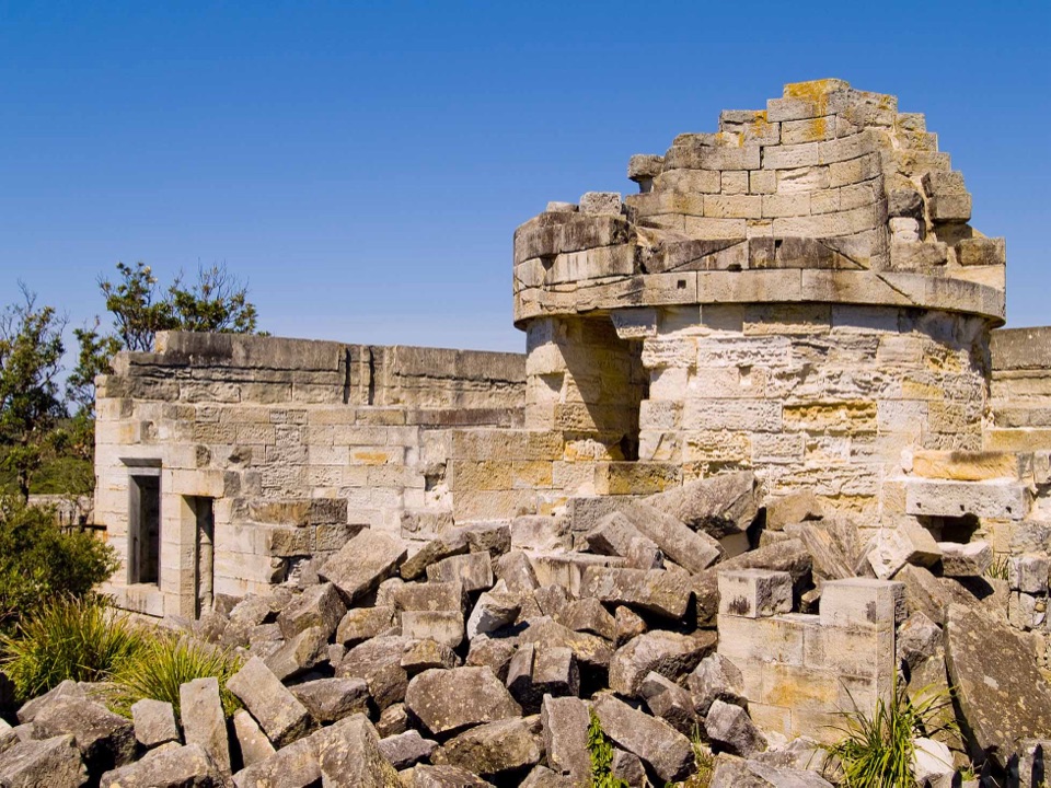
  • Cape St George Lighthouse Ruins
  • A Spotted Return
  • Steamers Beach: The Walk to the Cove
  • 23 audio storiesacross Booderee’s roads, triggered by GPS as you drive
  • Wildlife heatmapsfor Grey Kangaroo, Echidna, Red-necked Wallaby, and 13 more
  • Works offlinemaps, 14 trails, 33 places, and audio download before you lose signal
  • CarPlay readysimple controls built for the drive
★★★★★
“Fantastic app with many points of information… It’s great to just turn on while you’re driving and it gives you an audio tour of the national Park. We love it!!!!”
JMJamesApp Store review
Download Parkwolf on the App StoreGet Parkwolf on Google Play

4.7 from 8,600+ ratings

Guide

More about Stony Creek

A rocky little coveStony Creek is a named coastal stop on Booderee's south coast, where a short path leads to a…

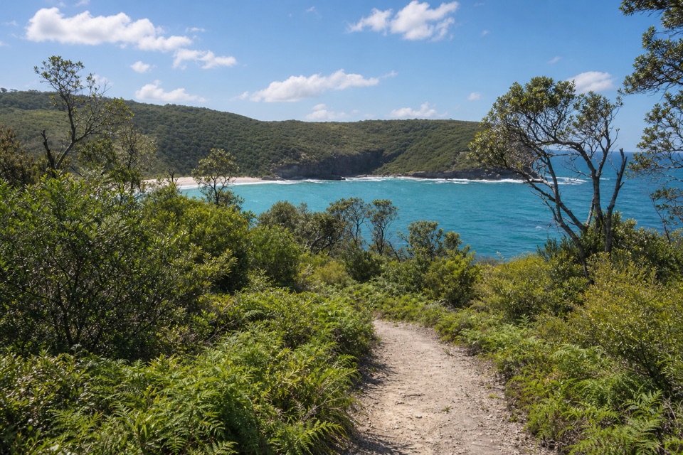
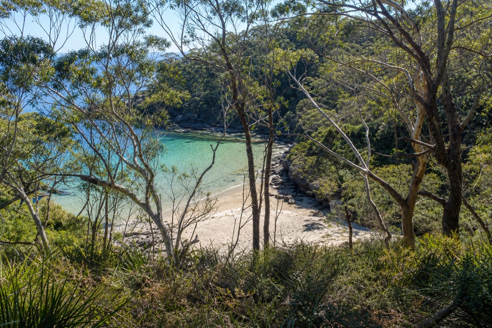
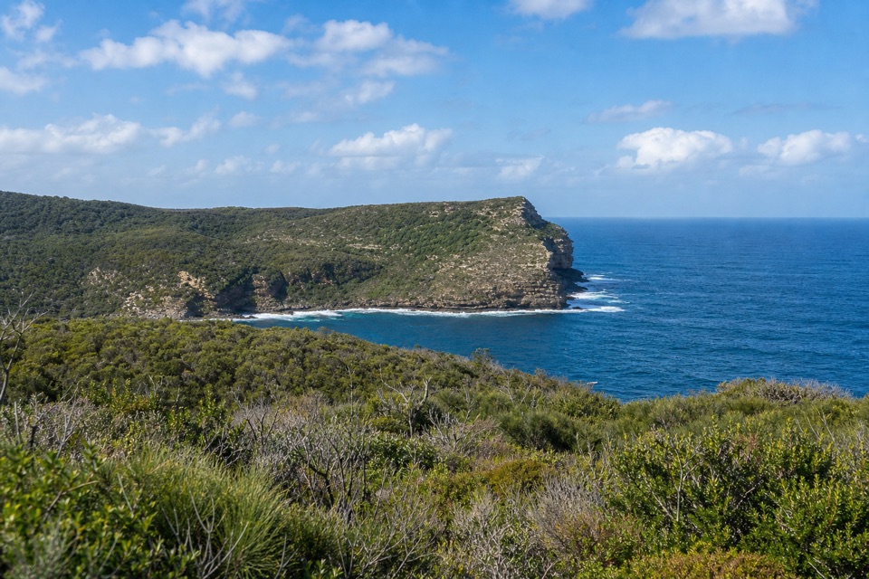
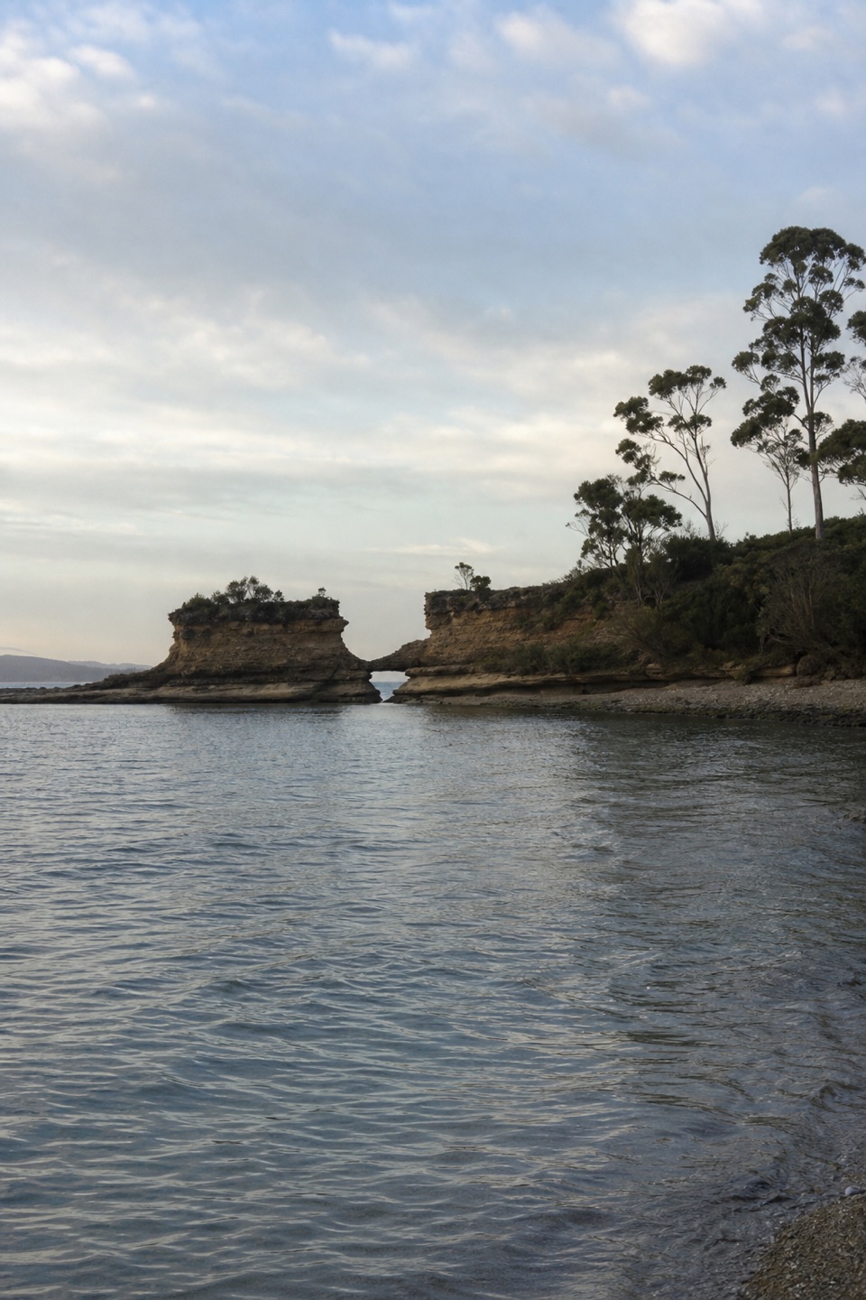
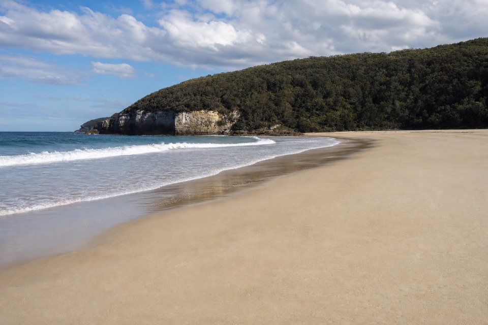
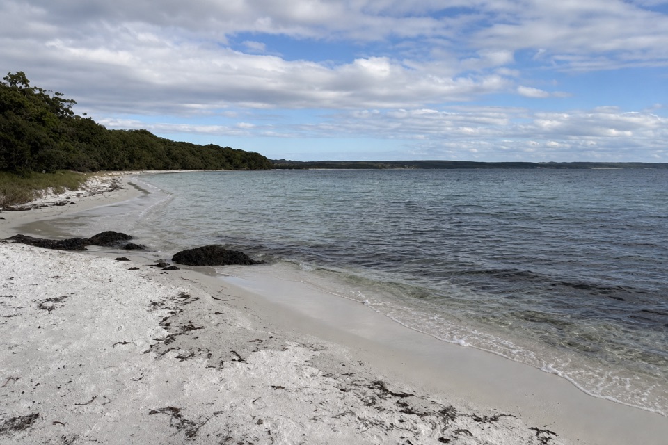
Stony Creek is a named coastal stop on Booderee's south coast, where a short path leads to a small cove and tidal rock pools. If you want a brief swim or snorkel and don't need a broad sandy beach, this is a better fit than a beach day: visitors describe clear, sheltered water behind a low rock rim, and the sandy patch is very small.

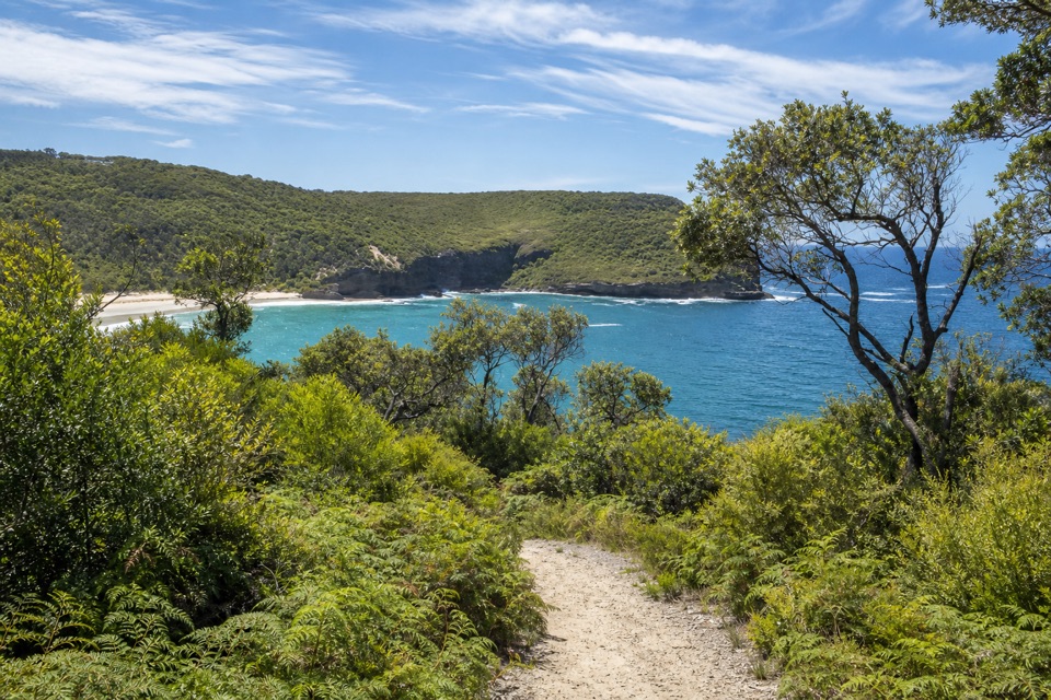
Getting to the waterThe separate car park is followed by a short, narrow, rocky path.

The separate car park is followed by a short, narrow, rocky path. One visitor estimated about 200 metres; the mapped footpath is compacted. Stony Creek Road is unsealed, but a 4WD isn't needed. Expect a rougher coastal approach than a paved beach car park.

Let the tide workThese are tidal pools, not still basins.

These are tidal pools, not still basins. As the tide rises, swell can wash over the rocks and flush the pools; visitors also mention snorkeling in the clearer water at low tide. For a photo, keep the dark rock shelves in the foreground and the low wave-washed rim behind them: that shows how the pool is sheltered from the open ocean. Water entry and footing depend on the conditions, and no safe entry point is marked in the sources checked.

Booderee's rocky coastAcross the Bherwerre Peninsula, Permian marine-origin sandstone, siltstone and conglomerate are…

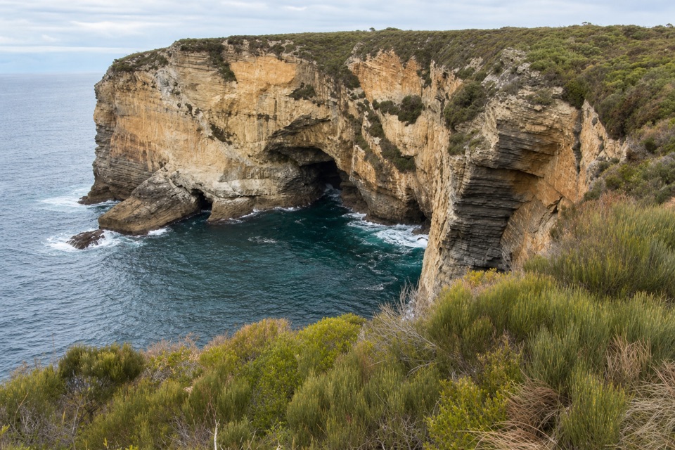
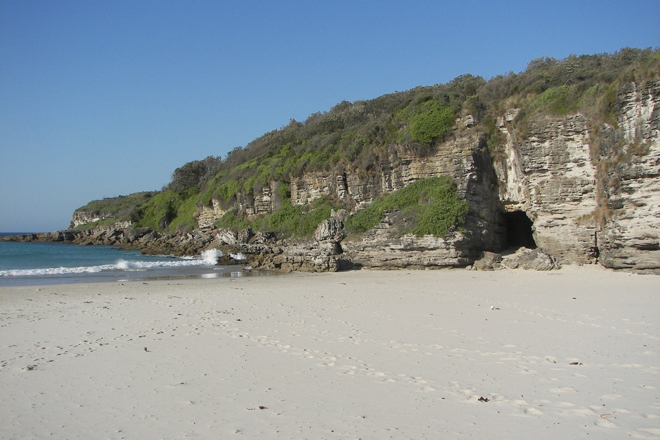
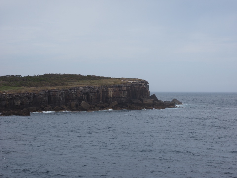
Across the Bherwerre Peninsula, Permian marine-origin sandstone, siltstone and conglomerate are exposed in coastal platforms and creek beds. That's broader peninsula geology rather than a date for this particular pool, but it is the context for the rough, layered shore around the cove.

Wildlife

Wildlife in Booderee

All Booderee wildlife maps

Sighting maps show where each species has been reported across Booderee. Wildlife moves, so no sighting is guaranteed.

Keep exploring

Near Stony Creek

See it all on the map

Trails nearby

More stops nearby

Parkwolf’s Booderee ranking

Top sights in Booderee

All 33 places
  1. 1Murrays BeachBeach
  2. 2Green Patch BeachBeach
  3. 3Cape St George LighthouseSight
  4. 4Booderee Botanic GardensSight
  5. 5Cave BeachBeach
  6. 6Governors Head LookoutSight

Take Parkwolf to Booderee.

The audio tour guide for the drive, plus offline maps, trails, and wildlife heatmaps for when the signal drops.

4.7 from 8,600+ ratings

Download Parkwolf on the App StoreGet Parkwolf on Google Play