Parking
Start beside the entrance to Dalraddy Holiday Park; public parking there is not confirmed. The route finishes at the RSPB Insh Marshes entrance at Invertromie, which has a 12-space car park. Arrange transport between the ends.
Cairngorms National Park, SC
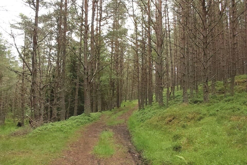
Pine paths, Spey views and a quiet finish by the marshes.
Overview
Map & elevation
Plan your hike

The highest, rockiest slopes around here are a summer buffet for grizzly bears.
Cairngorms Tour Guide
Parkwolf is a GPS audio tour guide for Cairngorms National Park. As you drive, it chimes in with what’s ahead: hidden gems, upcoming stops, history, geology, and wildlife, right through your car’s speakers.
See the Cairngorms audio tourRecorded for this trailhead
Torr Alvie and Food at Dalraddy“Dalraddy is coming up, the starting point for Torr Alvie and a useful food stop even if you're not staying at the holiday park.”
Plays as you drive up to this trailhead in the Parkwolf Cairngorms Tour Guide.
More stories near here in the app
“Fantastic app with many points of information… It’s great to just turn on while you’re driving and it gives you an audio tour of the national Park. We love it!!!!”


Trail guide
The Badenoch Way is a 10.6-mile (17.1 km) point-to-point walk from the Dalraddy Holiday Park entrance to the RSPB Insh Marshes entrance at Invertromie. Allow five to six hours, then add time for the one-way transport. It is a long, lowland crossing rather than a mountain climb, with a changing mix of open moor, pine forest, villages, the Spey and Insh Marshes. Choose it for a full day of varied Highland walking, not for one dramatic summit.
The old route leaves the caravan park entrance and crosses open grazing toward the forest. The path is faint in places; marker posts guide the diagonal crossing, and the newer Speyside Way is clearer along part of this early stretch. In the pine plantation, other tracks cross and split away, so keep checking the Badenoch Way markers rather than following the broadest track.
The walk climbs and dips along the Spey’s wooded high bank, with short steep sections, steps and a wooden-seat viewpoint looking across the river toward the Cairngorms. At the viewpoint, keep the Spey in the foreground to show how the river sits below the hills. The route then drops into Kincraig, crosses the Spey and passes Insh Church, a parish church recorded since 1190.
From Kincraig, the line follows the loch edge by Insh Watersports, then heads through woodland and over the B970 toward Fairleiter Hill. A short viewpoint detour is a good use of the extra time. The main route descends toward Insh village; follow its Badenoch Way signs and the old road behind the village rather than wandering onto the local woodland loops.
Beyond Insh, the route threads through Inveruglas and Drumguish, crosses the Tromie at Tromie Bridge and reaches the Insh Marshes. The last reserve paths pass high banks and steps before the finish at the Invertromie entrance. The marshes are a broad Spey floodplain and an important breeding area for curlews, lapwings, redshanks and snipe. The reserve’s separate marked nature trail and hides are optional extra walking, not part of this 10.6-mile line.
There is no confirmed public parking at the Dalraddy start, so arrange access before leaving a car there. The reserve finish has a small 12-space car park; plan transport between the two ends. There are picnic benches at the reserve, but no toilets, café or shop, so bring what you need for the walk. Dogs are allowed under Scotland’s responsible-access rules; at Insh Marshes keep them on a short lead during the ground-nesting bird season, 1 April to 15 August, and where livestock are present.
Wildlife
 159 sightingsRed DeerMost seen around 7 AMSighting map
 63 sightingsReindeerMost seen around 6 PMSighting map
 102 sightingsOspreyMost seen around 5 PMSighting map
 37 sightingsBlack GrouseMost seen around 4 AMSighting map
 72 sightingsRed GrouseMost seen around 6 PMSighting map
 82 sightingsPine MartenMost seen around 9 PMSighting map
Sighting maps show where each species has been reported across Cairngorms. Wildlife moves, so no sighting is guaranteed.
Keep exploring
 ModerateTorr Alvie Trail5.2 km · 2.5 hr · 0.1 km awayTwo monuments, old pines and a wide view over Strathspey.
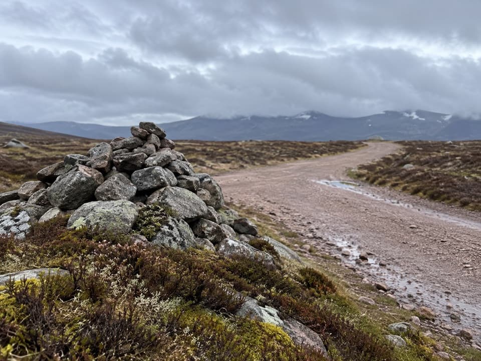 ModerateGeal-charn Mòr from Lynwilg12.5 km · 4 hr · 3.1 km awayA summit circuit with Cairngorm views and a boggy moorland return.
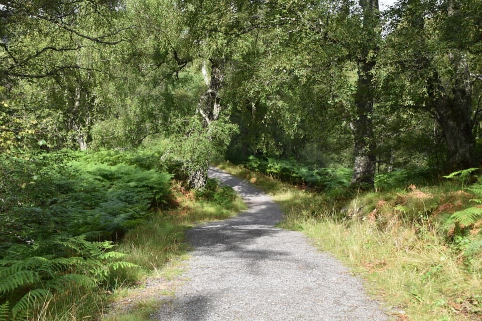 ModerateSpeyside Way North Loop, Kincraig4.4 km · 2 hr · 3.6 km awayA 2¾-mile woodland loop with views over the River Spey.
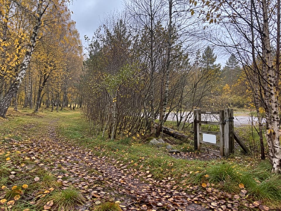 ModerateLochside Loop, Kincraig2.5 km · 1 hr · 3.6 km awayA short loop from Kincraig through oakwood to Loch Insh.
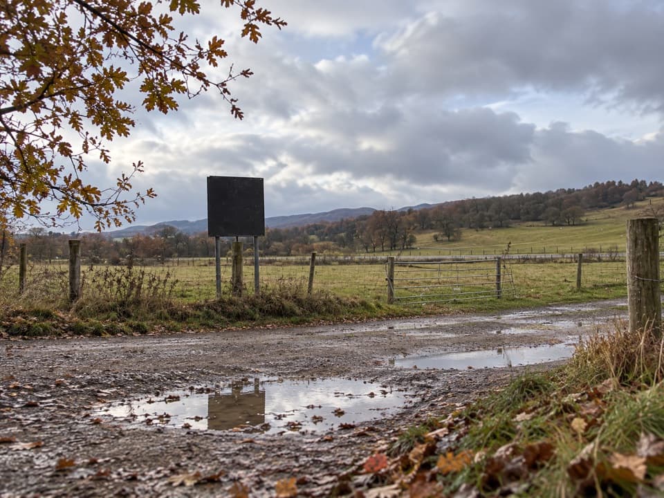 ModerateLeault Trail4.8 km · 2 hr · 3.6 km awayA Kincraig loop through woodland, sheep pasture, and open hill views.
 EasySpeyside Way South Path, Kincraig2.6 km · 1 hr · 3.6 km awayA gentle path past a Highland church with Loch Insh in view.
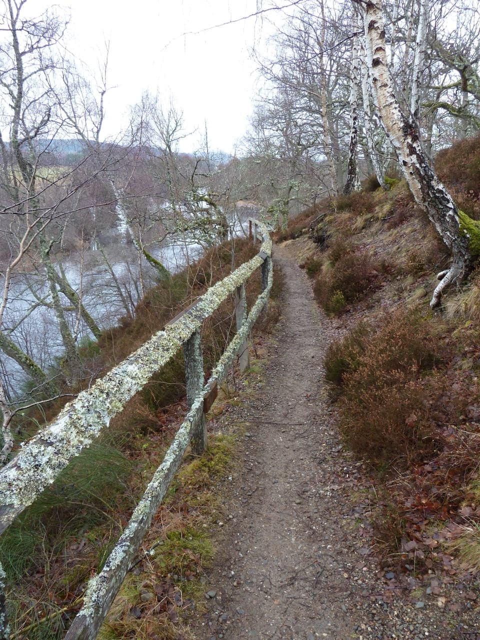 EasyRiverside Walk, Kincraig2.8 km · 1 hr · 3.7 km awayA short riverside ridge walk earns broad views over the Spey.
 EasyLoch an Eilein Circuit5 km · 1.5 hr · 3.8 km awayA three-mile lochside loop through pines and past an island castle
 Campground · 0.1 km awayDalraddy Holiday ParkA forested camping base with Thai food and activity options.Sight · 3.8 km awayLoch an EileinAn island castle makes this easy loch loop memorable.
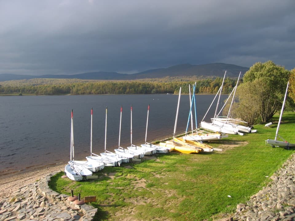 Sight · 4.4 km awayLoch Insh Outdoor CentrePaddle in summer, ski in winter, and eat beside the loch.
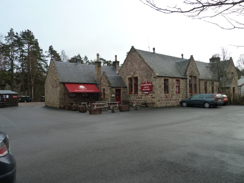 Visitor center · 5.1 km awayRothiemurchus CentreCoffee, estate food and a handy start to local walks.
 Sight · 5.5 km awayStrathspey RailwayA vintage train runs through Speyside to TV-famous Broomhill.
 Campground · 6.1 km awayRothiemurchus Camp and Caravan ParkA pinewood base for tents, caravans and nearby walks.
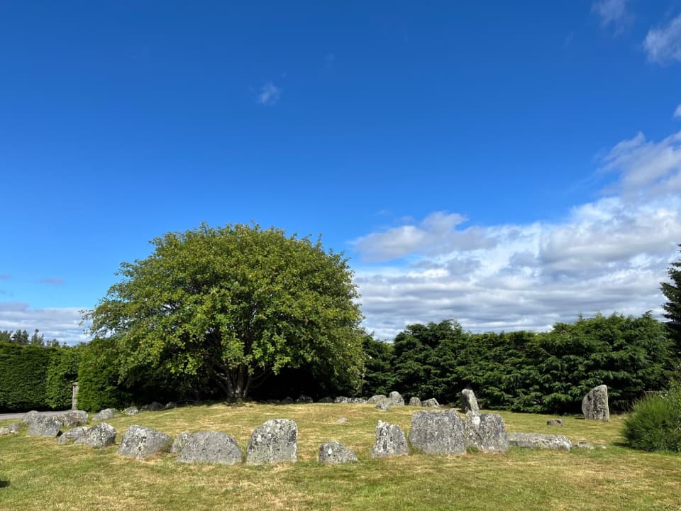 Sight · 6.4 km awayAviemore Ring Cairn and Stone CircleA small prehistoric circle in Aviemore’s unexpected village setting.
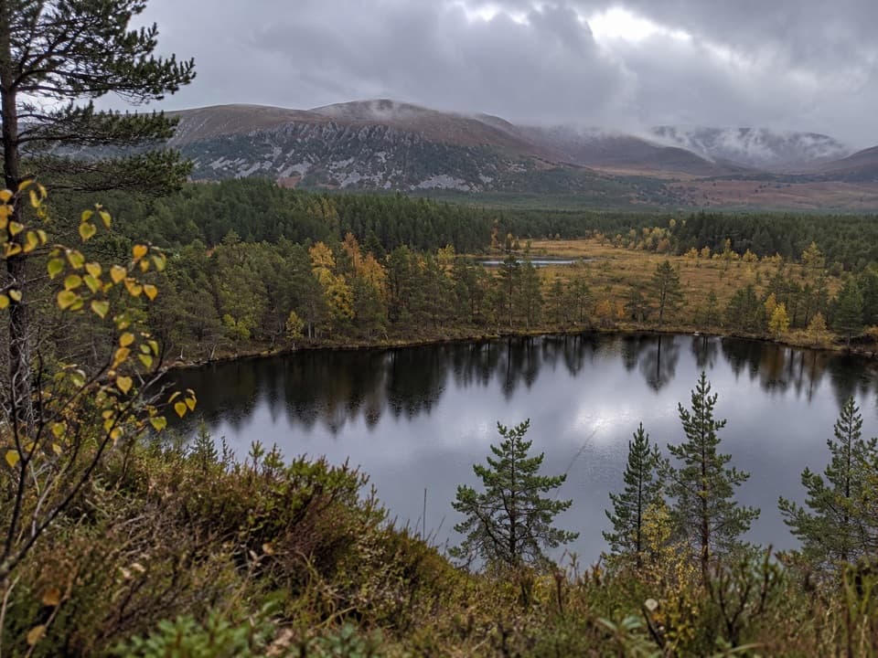 Sight · 6.5 km awayUath LochansSmall woodland lochs, with a steep climb to Strathspey views.
Parkwolf’s Cairngorms ranking

The audio tour guide for the drive, plus offline maps, trails, and wildlife heatmaps for when the signal drops.




