Parking
A dedicated car park for the north-end access was not identified. Check local signs and permission before leaving a vehicle near the road or church.

Cairngorms National Park, SC
A gentle path past a Highland church with Loch Insh in view.
Overview
Map & elevation
Plan your hike

The highest, rockiest slopes around here are a summer buffet for grizzly bears.
Cairngorms Tour Guide
Parkwolf is a GPS audio tour guide for Cairngorms National Park. As you drive, it chimes in with what’s ahead: hidden gems, upcoming stops, history, geology, and wildlife, right through your car’s speakers.
See the Cairngorms audio tourRecorded for this trailhead
Kincraig’s Lochside Loop“Kincraig is coming up, and the Lochside Loop is a good choice for an hour through oakwood and along Loch Insh. Start by the Village Hall and follow the circuit back through the village.”
Plays as you drive up to this trailhead in the Parkwolf Cairngorms Tour Guide.
More stories near here in the app
“Fantastic app with many points of information… It’s great to just turn on while you’re driving and it gives you an audio tour of the national Park. We love it!!!!”


Trail guide
This easy out-and-back follows the Speyside Way from the north end of Loch Insh, near Alvie and Insh Church, south to the Loch Insh watersports centre. The posted figure is 1¼ miles total, but the mapped line measures about 0.8 mile each way, so plan on roughly 1.6 miles and an hour. It is a leg-stretch for Loch Insh views and a church stop, not a hill climb.
Expect pavements, road and generally firm gravel, with trees along the way. Alvie and Insh Church and the shoreline are the main points of interest; views open across Loch Insh at either end. Some of the route uses road, so stay alert for traffic.
The mapped start is on the north-end road just north of Alvie and Insh Church. A dedicated car park for this access was not identified; check local signs and permission before leaving a vehicle. Dogs are allowed under the park’s access guidance: keep them close to heel or on a short lead, especially near livestock and ground-nesting birds, and follow any local signs.
Wildlife
 159 sightingsRed DeerMost seen around 7 AMSighting map
 63 sightingsReindeerMost seen around 6 PMSighting map
 102 sightingsOspreyMost seen around 5 PMSighting map
 37 sightingsBlack GrouseMost seen around 4 AMSighting map
 72 sightingsRed GrouseMost seen around 6 PMSighting map
 82 sightingsPine MartenMost seen around 9 PMSighting map
Sighting maps show where each species has been reported across Cairngorms. Wildlife moves, so no sighting is guaranteed.
Keep exploring
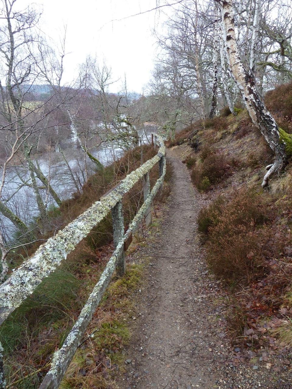 EasyRiverside Walk, Kincraig2.8 km · 1 hr · 0.2 km awayA short riverside ridge walk earns broad views over the Spey.
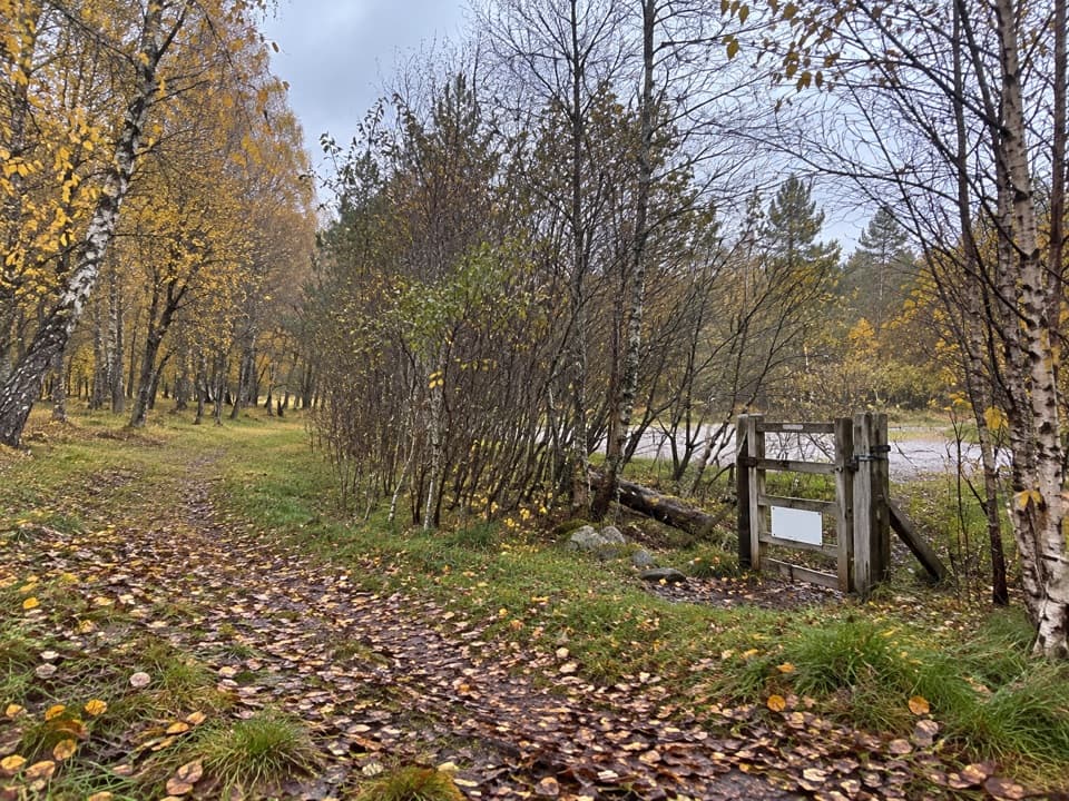 ModerateLochside Loop, Kincraig2.5 km · 1 hr · 0.5 km awayA short loop from Kincraig through oakwood to Loch Insh.
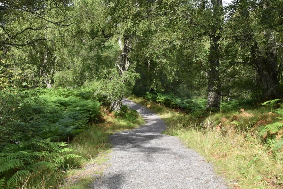 ModerateSpeyside Way North Loop, Kincraig4.4 km · 2 hr · 0.5 km awayA 2¾-mile woodland loop with views over the River Spey.
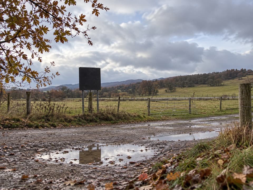 ModerateLeault Trail4.8 km · 2 hr · 0.6 km awayA Kincraig loop through woodland, sheep pasture, and open hill views.
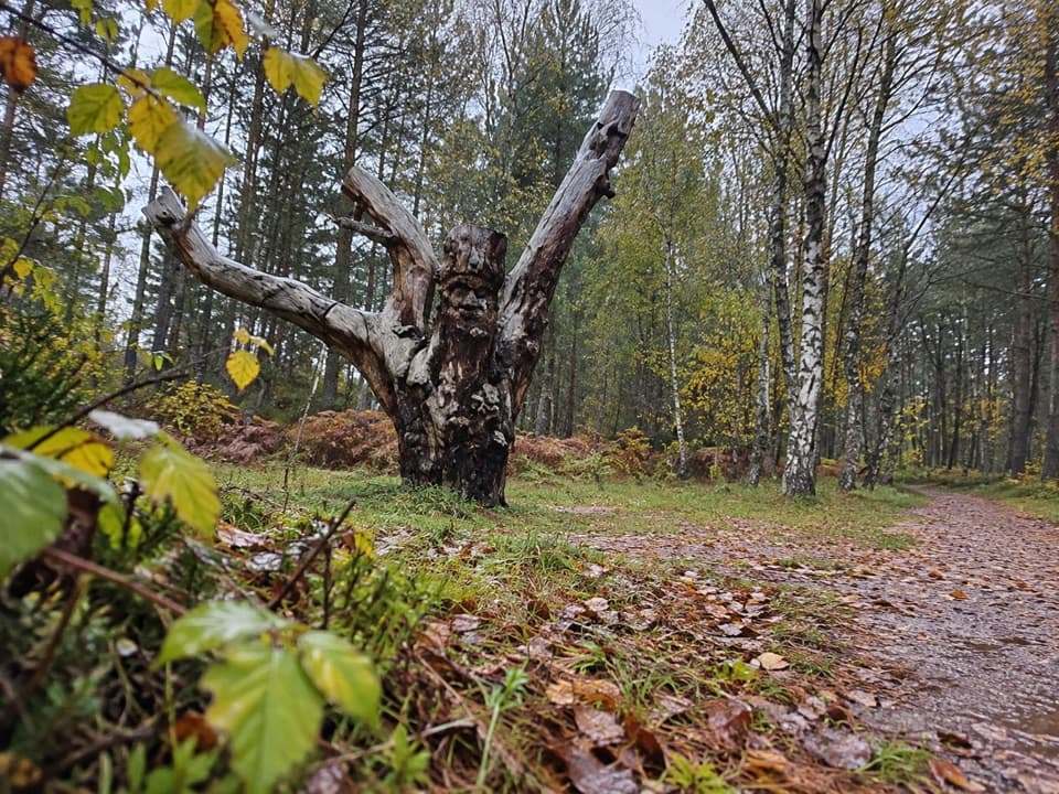 EasyFrank Bruce Sculpture Trail1.6 km · 45 min · 1.6 km awayA gentle woodland loop through Frank Bruce's sculpture remains.
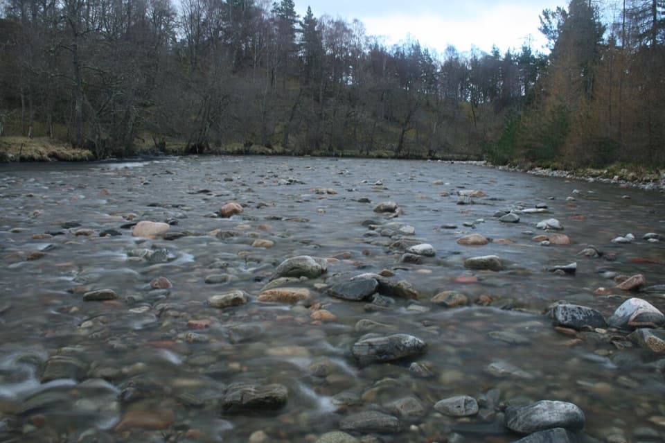 ModerateRiver Feshie Trail2 km · 1 hr · 1.6 km awayShort, rugged River Feshie loop with rough paths and narrow bridges.
 ModerateInshriach Forest Loop5.2 km · 2 hr · 1.6 km awayA gravel loop through Inshriach Forest, with western Cairngorm views.
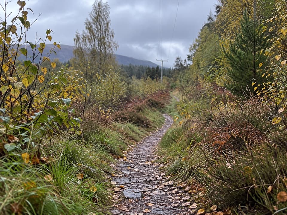 ModerateFeshiebruach Trail1 km · 45 min · 1.6 km awayA pinewood loop for blaeberry, heather and red squirrel spotting.
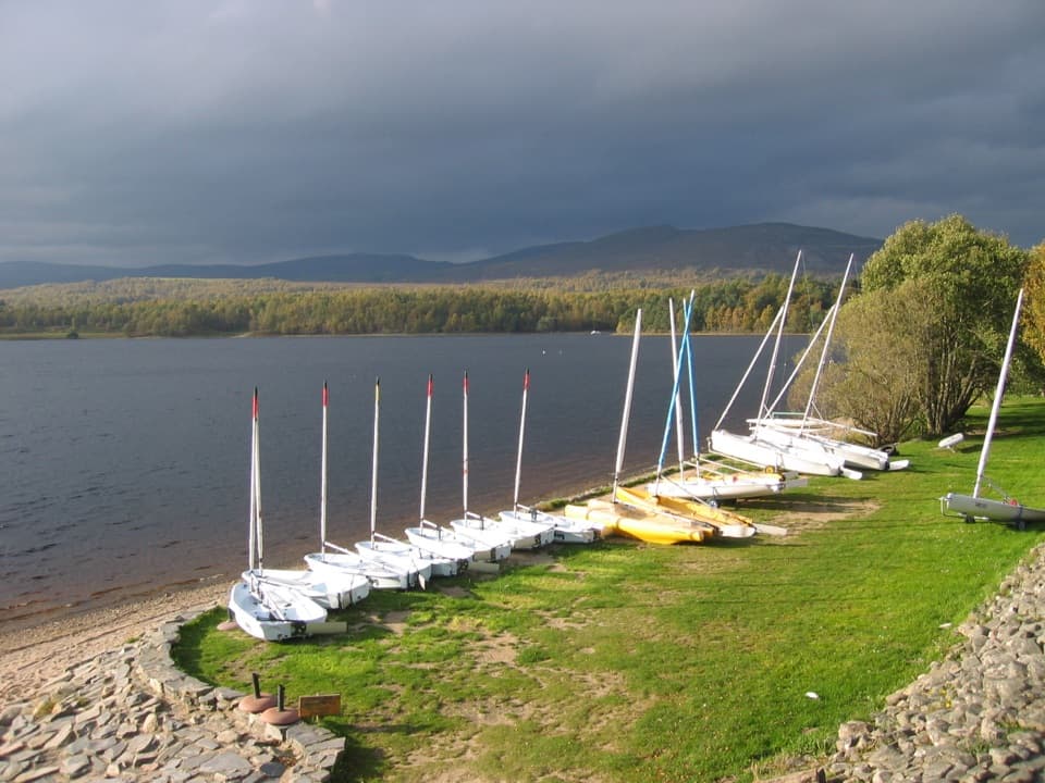 Sight · 1.1 km awayLoch Insh Outdoor CentrePaddle in summer, ski in winter, and eat beside the loch.
 Sight · 3.2 km awayHighland Wildlife ParkSee the reserve by car, then explore the animal habitats on foot.
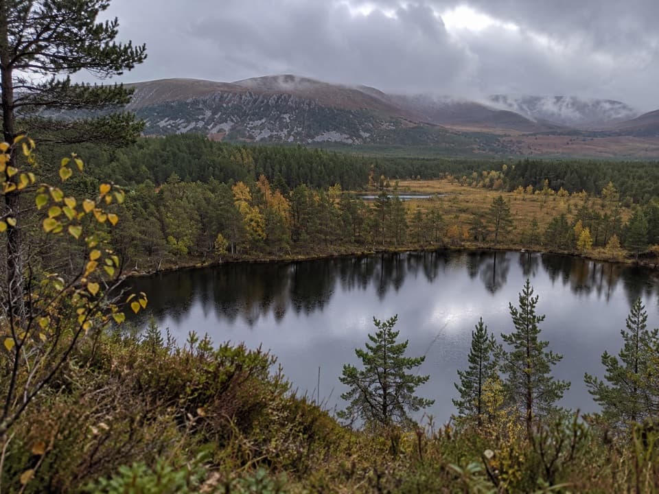 Sight · 3.3 km awayUath LochansSmall woodland lochs, with a steep climb to Strathspey views.
 Campground · 3.5 km awayDalraddy Holiday ParkA forested camping base with Thai food and activity options.
 Sight · 6.7 km awayLoch an EileinAn island castle makes this easy loch loop memorable.
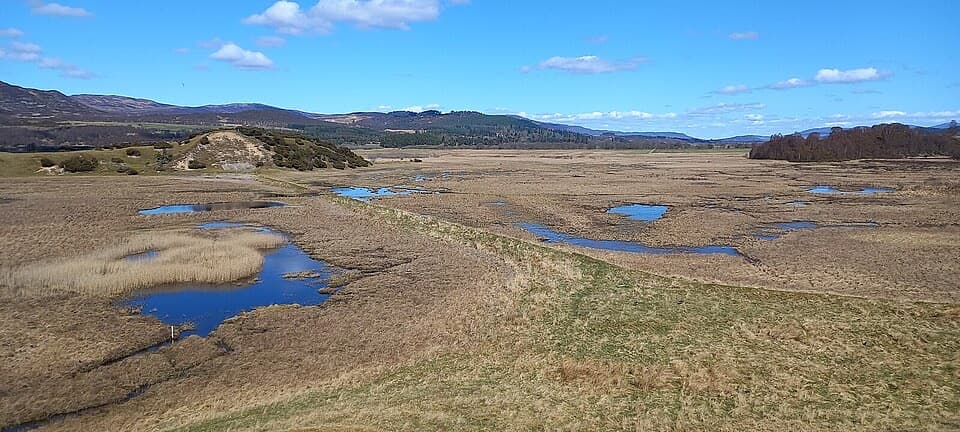 Sight · 8.3 km awayInsh MarshesA slow walk earns bird hides and wide floodplain views.
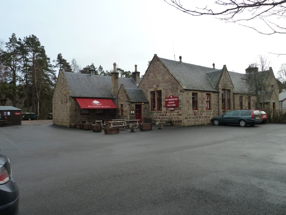 Visitor center · 8.5 km awayRothiemurchus CentreCoffee, estate food and a handy start to local walks.
 Sight · 9.1 km awayStrathspey RailwayA vintage train runs through Speyside to TV-famous Broomhill.
Parkwolf’s Cairngorms ranking

The audio tour guide for the drive, plus offline maps, trails, and wildlife heatmaps for when the signal drops.




