Parking
Limited roadside parking on the right just after the road forks, before the gate at Lynwilg. No public transport serves the start.
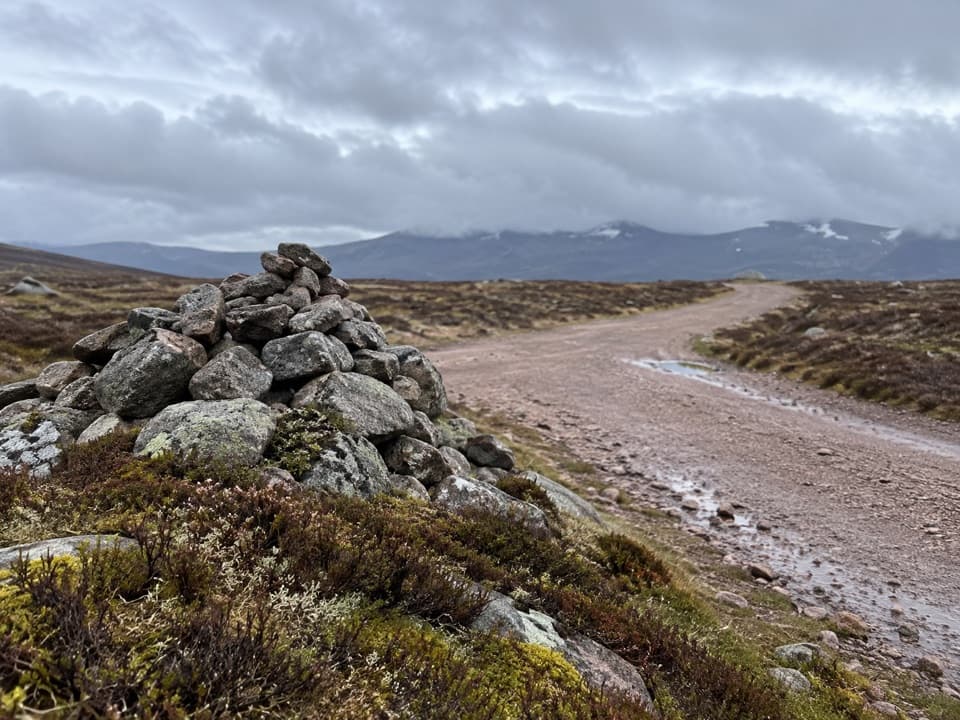
Cairngorms National Park, SC
A summit circuit with Cairngorm views and a boggy moorland return.
Overview
Map & elevation
Plan your hike

The highest, rockiest slopes around here are a summer buffet for grizzly bears.
Cairngorms Tour Guide
Parkwolf is a GPS audio tour guide for Cairngorms National Park. As you drive, it chimes in with what’s ahead: hidden gems, upcoming stops, history, geology, and wildlife, right through your car’s speakers.
See the Cairngorms audio tourRecorded for this trailhead
Geal-charn Mòr from Lynwilg“You're nearing Lynwilg, the start for Geal-charn Mòr, with only limited roadside parking. Choose this for a summit view across Rothiemurchus Forest to the Cairngorms, with a white trig point and shelter cairn at the top.”
Plays as you drive up to this trailhead in the Parkwolf Cairngorms Tour Guide.
More stories near here in the app
“Fantastic app with many points of information… It’s great to just turn on while you’re driving and it gives you an audio tour of the national Park. We love it!!!!”


Trail guide
This 7.75-mile (12.5 km) loop climbs from Lynwilg to Geal-charn Mòr's 824 m summit and returns by rougher paths and farm tracks. Allow 3–4.5 hours, with about 608 m of ascent. The Burma Road makes a steady, mostly good-track climb; the hill path and southeast moorland return are rougher, boggy and slower. Choose it for a proper summit and broad Highland views, not an easy low-level stroll.
Cross the bridge at Lynwilg and follow the signed right of way uphill. The broad track climbs through trees and gates, then into sparser birch and Scots pine before opening onto heather moor. As the woodland thins, look back over the forest toward the Cairngorms. At the large cairn on the Burma Road, take the direct rough path uphill to Geal-charn Mòr; the lower contouring path is the circuit's return line. A stile beside a gate crosses the deer fence before the flatter ground at the top.
A white trig point and a windshelter cairn mark the 824 m summit. The view reaches across Rothiemurchus Forest to the Cairngorms, with the upper Dulnain and Monadh Liath in the other direction. For a photo, include the trig point or cairn in the foreground so the open plateau has scale.
Retrace the summit path to the Burma Road cairn, then take the rough southeast path. It crosses several streams and boggy ground, passes a deer-fence gate, and opens to a view over Loch Alvie. One short patch becomes indistinct before the descent above Caochan Ruadh. From Ballinluig, farm tracks lead back to Lynwilg.
Roadside parking is limited: the described space is on the right just after the road forks and before the gate. There is no public transport to the start. The return passes farm tracks and gates, so keep to the route and leave gates as you find them. Dogs are allowed under Scotland's outdoor access rules; keep them under close control around livestock and wildlife.
Wildlife
 159 sightingsRed DeerMost seen around 7 AMSighting map
 63 sightingsReindeerMost seen around 6 PMSighting map
 102 sightingsOspreyMost seen around 5 PMSighting map
 37 sightingsBlack GrouseMost seen around 4 AMSighting map
 72 sightingsRed GrouseMost seen around 6 PMSighting map
 82 sightingsPine MartenMost seen around 9 PMSighting map
Sighting maps show where each species has been reported across Cairngorms. Wildlife moves, so no sighting is guaranteed.
Keep exploring
 ChallengingViewpoint Trail, Craigellachie4.4 km · 2.5 hr · 1.9 km awayA sustained birchwood climb with wide views over Aviemore.
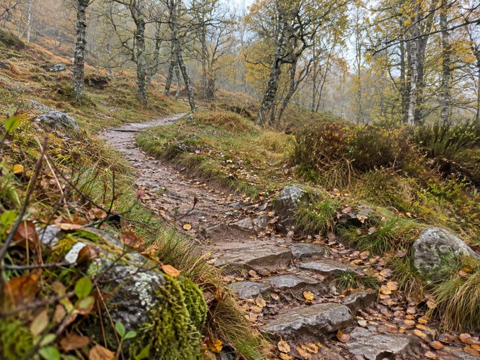 ModerateWoodland Trail, Craigellachie1 km · 20 min · 1.9 km awayA birchwood loop with spring flowers and a few steep, uneven stretches.
 EasyAviemore Orbital7.2 km · 2.5 hr · 2 km awayA gentle Aviemore loop through woods, town paths and the Spey
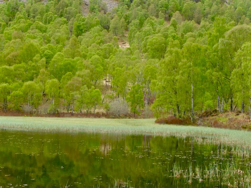 ChallengingBuzzard Trail1.8 km · 1.1 hr · 2 km awayA steep woodland loop above Craigellachie’s old reservoir.
 ModerateBeaver Trail, Rothiemurchus7 km · 2.3 hr · 2.6 km awayWatch for beaver signs, then detour for Loch an Eilein’s ruined castle.
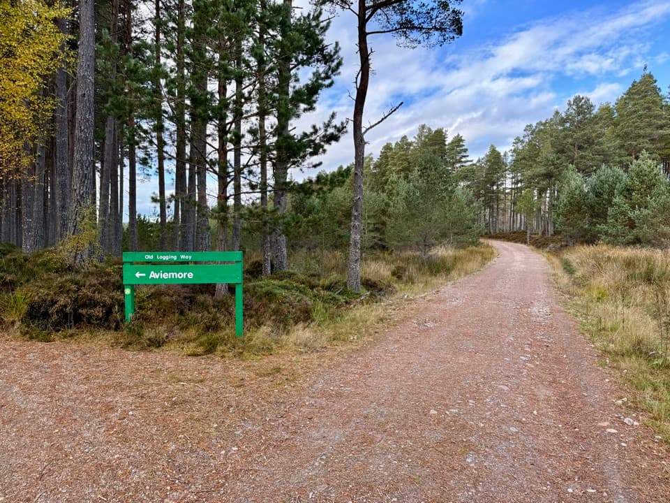 ModerateThe Old Logging Way10.8 km · 4.3 hr · 2.6 km awayA shared forest path from Aviemore to Loch Morlich’s sandy shore.
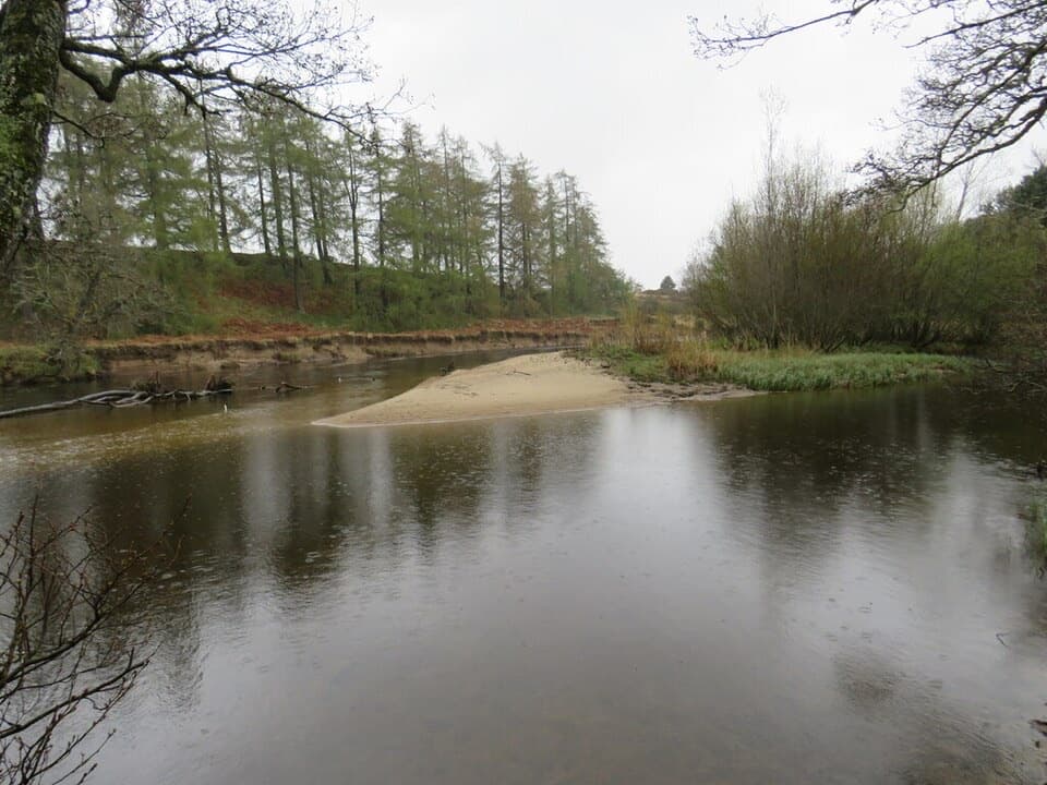 EasyRiverside Park Trail, Aviemore1.4 km · 30 min · 2.8 km awayA gentle River Spey loop for an easy half-hour walk.
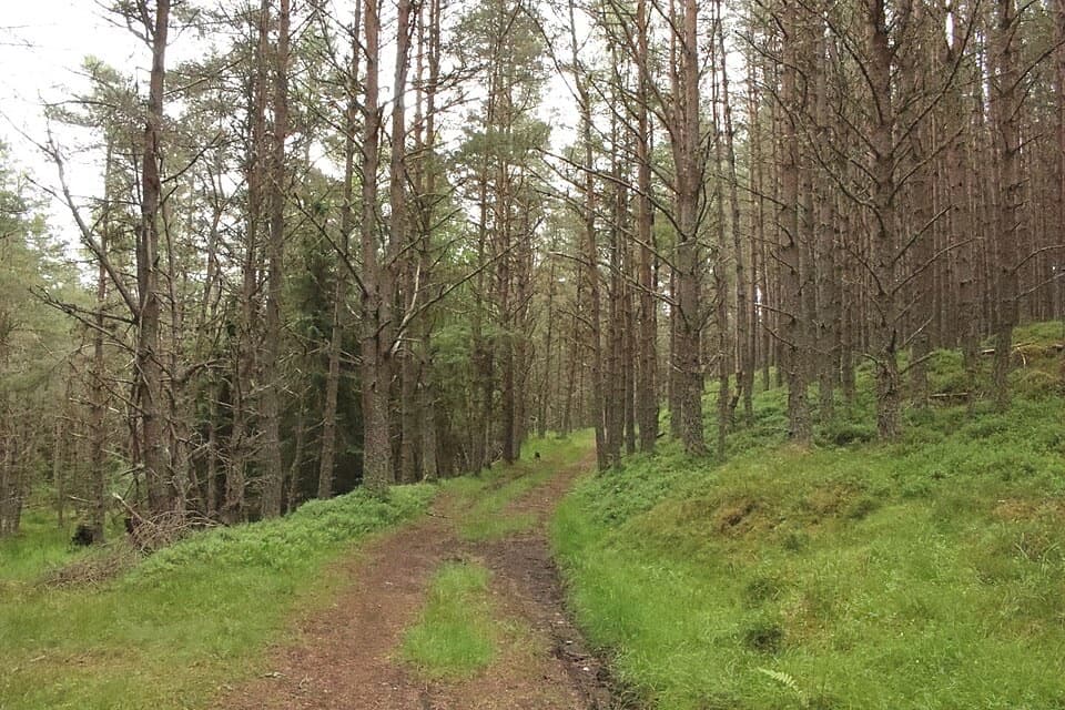 ModerateBadenoch Way17.1 km · 5.5 hr · 3.1 km awayPine paths, Spey views and a quiet finish by the marshes.
 Sight · 2.5 km awayStrathspey RailwayA vintage train runs through Speyside to TV-famous Broomhill.
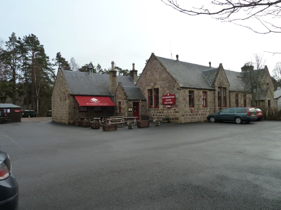 Visitor center · 2.7 km awayRothiemurchus CentreCoffee, estate food and a handy start to local walks.
 Campground · 3.2 km awayDalraddy Holiday ParkA forested camping base with Thai food and activity options.
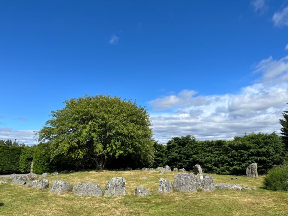 Sight · 3.3 km awayAviemore Ring Cairn and Stone CircleA small prehistoric circle in Aviemore’s unexpected village setting.
 Sight · 3.4 km awayLoch an EileinAn island castle makes this easy loch loop memorable.
 Sight · 3.7 km awayCairngorm BreweryA small Aviemore taproom for trying local ales and taking favourites home.
 Campground · 4 km awayRothiemurchus Camp and Caravan ParkA pinewood base for tents, caravans and nearby walks.
 Campground · 4.6 km awayOakwood Caravan & Camping ParkOak-shaded camping, with Aviemore a 20–30-minute walk away.
Parkwolf’s Cairngorms ranking

The audio tour guide for the drive, plus offline maps, trails, and wildlife heatmaps for when the signal drops.




