Parking
Rough roadside pull-in at the A93 track entrance about 1.5 km north of Spittal of Glenshee; space for about two cars. Park carefully without blocking the gateway.
Cairngorms National Park, SC
A steep, direct climb to open views over Glen Shee.
Overview
Map & elevation
Plan your hike

The highest, rockiest slopes around here are a summer buffet for grizzly bears.
Cairngorms Tour Guide
Parkwolf is a GPS audio tour guide for Cairngorms National Park. As you drive, it chimes in with what’s ahead: hidden gems, upcoming stops, history, geology, and wildlife, right through your car’s speakers.
See the Cairngorms audio tourRecorded for this trailhead
Ben Gulabin from the A93“You're nearing the roadside start for Ben Gulabin, a steep three-hour return hillwalk with open views over Glen Shee.”
Plays as you drive up to this trailhead in the Parkwolf Cairngorms Tour Guide.
More stories near here in the app
“Fantastic app with many points of information… It’s great to just turn on while you’re driving and it gives you an audio tour of the national Park. We love it!!!!”


Trail guide
Ben Gulabin is a 3.5-mile out-and-back from the A93 to an 806 m Corbett summit, with about 450 m of ascent. Allow around three hours for the climb, the open moorland slope and a stop at the rocky cairn. The measured distance goes to the main summit and back; a short detour to the eastern top adds walking.
From the rough estate track, the route crosses Allt a’ Charnaich and turns onto the direct path up the hill. The upper climb is steep and eroded, so the short mileage understates the effort. The grade eases on the heathery summit plateau; follow the main path to the cairn, then return the same way.
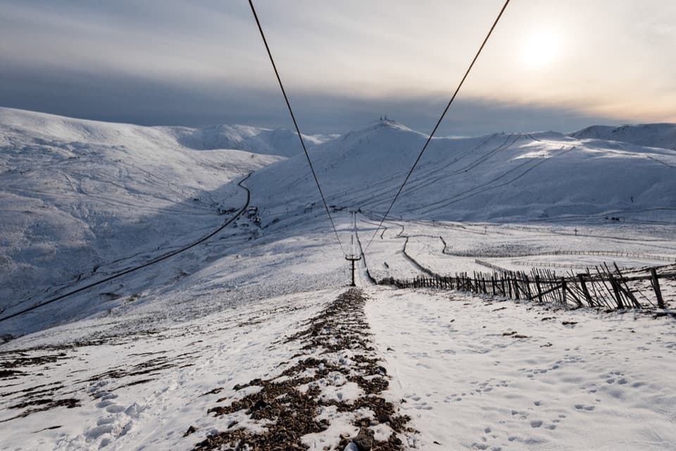
Near the burn crossing, remnants of an old ski tow and the remains of Gulabin Hut, once a club ski hut, sit on the hillside north of the track. The tow predates the ski developments at the head of Glen Shee.
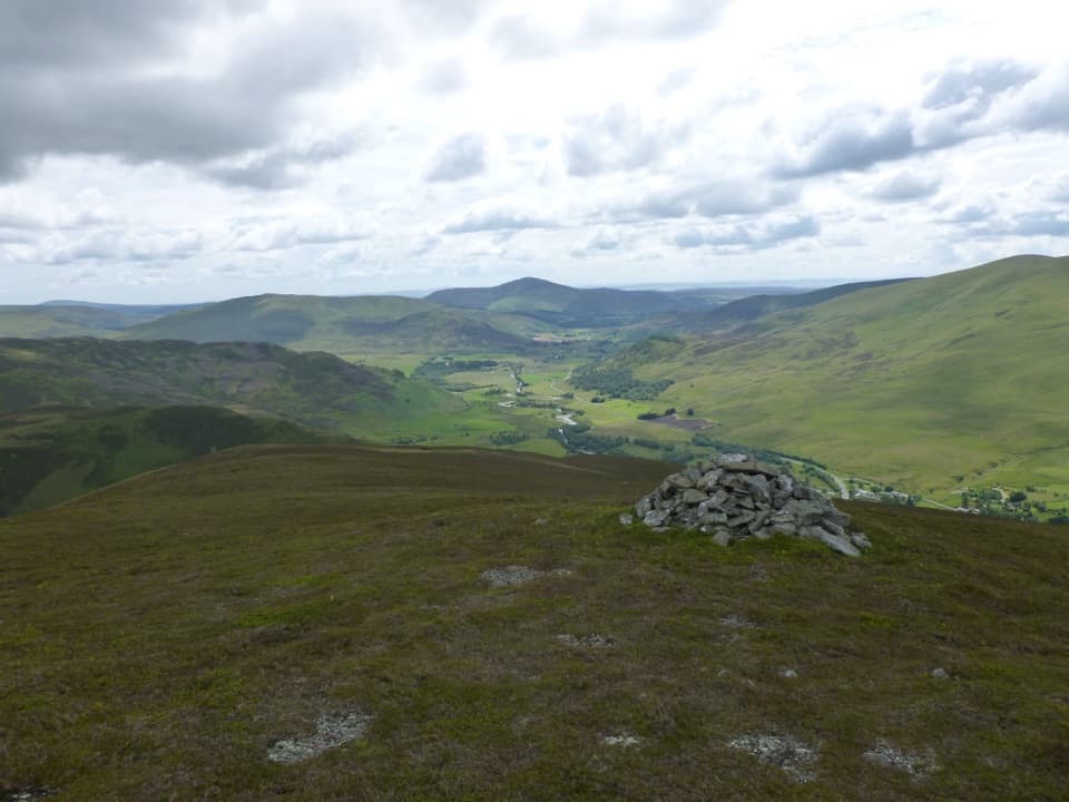
The main cairn stands on a small rocky outcrop, with Glas Tulaichean prominent to the west. If you have energy, a short extra walk to the eastern top looks down Glen Shee toward Mount Blair. For a photo, put the cairn in the foreground with the valley behind it; that gives the open view a clear sense of scale.
Wildlife
 159 sightingsRed DeerMost seen around 7 AMSighting map
 63 sightingsReindeerMost seen around 6 PMSighting map
 102 sightingsOspreyMost seen around 5 PMSighting map
 37 sightingsBlack GrouseMost seen around 4 AMSighting map
 72 sightingsRed GrouseMost seen around 6 PMSighting map
 82 sightingsPine MartenMost seen around 9 PMSighting map
Sighting maps show where each species has been reported across Cairngorms. Wildlife moves, so no sighting is guaranteed.
Keep exploring
 ChallengingGlas Tulaichean and Càrn an Rìgh30.1 km · 9 hr · 1.6 km awayTwo Munros, a remote ridge, and a full day on rough ground.
 ChallengingGlen Ey–Glenshee Track24.5 km · 8 hr · 1.6 km awayA remote crossing over Loch nan Eun into Glen Ey.ChallengingThe Cairnwell Munros Circuit12.9 km · 5.5 hr · 7.2 km awayThree Munros above a high start at Glenshee Ski Centre
 ChallengingMonega Pass14.5 km · 5 hr · 7.9 km awayAn old high road over a bare, exposed plateau.
 ChallengingMonega Hill and Glas Maol Round from Glen Isla21.1 km · 7.3 hr · 8 km awayA long Glen Isla horseshoe with two Munros and a boggy finish.
 ModerateMonamenach from Auchavan5.2 km · 2.5 hr · 8 km awayA short, steep Corbett climb with wide Glen Isla views.
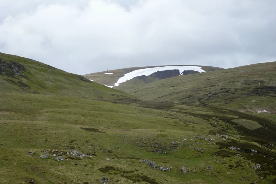 ChallengingGlas Maol Munros Circuit19.3 km · 7 hr · 9.2 km awayFour Munros, old shielings, a broad plateau, and a rocky final ridge
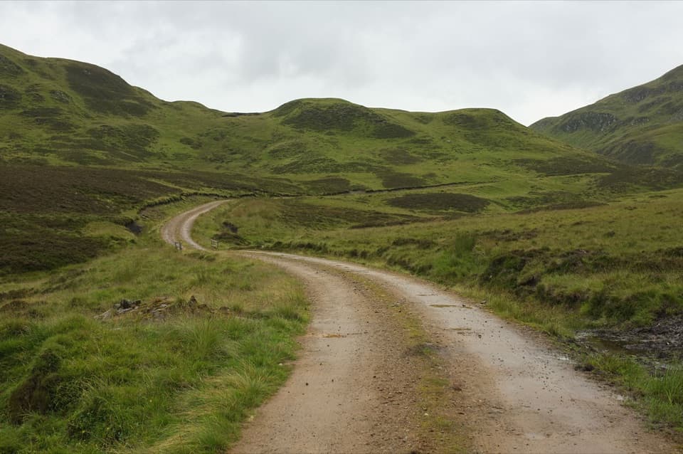 ChallengingGlen Tilt to Glen Fernate Drove Road24 km · 8.5 hr · 9.8 km awayA long old drovers' road across the hills to Glen Tilt.
Parkwolf’s Cairngorms ranking

The audio tour guide for the drive, plus offline maps, trails, and wildlife heatmaps for when the signal drops.