Parking
Start at the roadside layby east of the A93, about 2 km north of Glenshee Ski Centre. The loop returns from Cairnwell Pass with about 2.5 km beside the A93 to the layby.
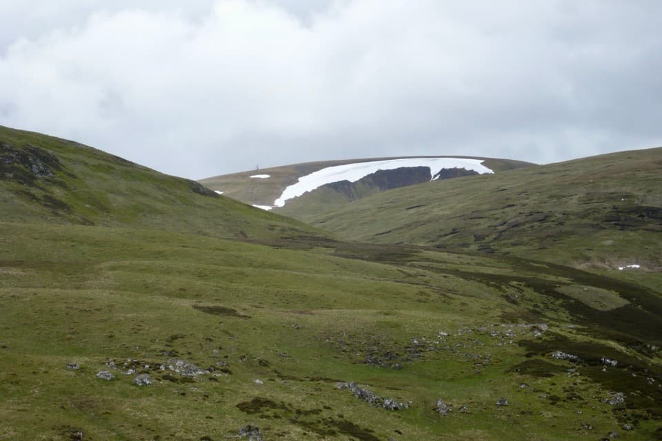
Cairngorms National Park, SC
Four Munros, old shielings, a broad plateau, and a rocky final ridge
Overview
Map & elevation
Plan your hike

The highest, rockiest slopes around here are a summer buffet for grizzly bears.
Cairngorms Tour Guide
Parkwolf is a GPS audio tour guide for Cairngorms National Park. As you drive, it chimes in with what’s ahead: hidden gems, upcoming stops, history, geology, and wildlife, right through your car’s speakers.
See the Cairngorms audio tourRecorded for this trailhead
Glas Maol’s Four-Munro Circuit“You're approaching the A93 layby for the Glas Maol four-Munro circuit, linking broad plateaus with Creag Leacach's rocky ridge.”
Plays as you drive up to this trailhead in the Parkwolf Cairngorms Tour Guide.
More stories near here in the app
“Fantastic app with many points of information… It’s great to just turn on while you’re driving and it gives you an audio tour of the national Park. We love it!!!!”


Trail guide
This 12-mile (19.3 km) loop starts at an A93 layby and crosses Càrn an Tuirc, Cairn of Claise, Glas Maol and Creag Leacach, gaining about 891 m. Allow 6½ to 7½ hours. The high start links the first three summits with little descent, but boggy ground, fading paths and a long return make this a full mountain day. Keep a map ready on the open tops, where the faint line can disappear. If four Munros are your goal, this is the circuit; for Glas Maol and Creag Leacach alone, the shorter two-summit route from Cairnwell Pass is a better fit.
Start at the layby east of the A93, about 2 km north of Glenshee Ski Centre. Head toward the grass-covered old stone bridge, which once carried the military road between Perth and Braemar. A faint path passes two groups of old shielings before crossing a tributary burn. Choose a shallow crossing, then climb through grass and heather. The line fades across bog before becoming stonier on Càrn an Tuirc. Cairnwell Pass opens behind you. The summit is a broad, flat plateau with a main cairn and smaller shelter cairn; views reach across Deeside toward the Cairngorms.
Leave Càrn an Tuirc eastward by a smaller cairn, then descend east-southeast to grassy ground and continue toward Cairn of Claise. Near a dry-stone wall, follow it as the ground grows stonier; it marks an old county boundary, and the summit cairn stands just to its left. Turn southwest along the broad ridge, then use the track by a tiny lochan that skirts the east side of Glas Maol. Leave it for the direct climb to Glas Maol’s large cairn and triangulation pillar. At 1,068 m, it is the circuit’s highest top. The plateau stretches east and north toward Lochnagar, but its breadth can make navigation feel deceptively simple.
Cross open grassy ground southwest to Bathach Beag, then follow the wall south along a clearer ridge. A tiny stone shelter sits at the bealach, barely large enough for a sheep. The ridge climbs over Cul Riabhach to Creag Leacach. At 987 m it is the lowest of the four Munros, but its narrower, rockier crest gives the walk a more defined finish after the broad plateau. Creag Leacach is not the end of the loop: the summer return heads back north to Bathach Beag.
Retrace the ridge to the cairn at Bathach Beag, then take the faint, narrow path contouring around Glas Maol’s west side. It begins across grass and crosses a steep slope before meeting the zigzag path descending along Meall Odhar. Follow it toward the ski tows, then descend through the upper ski area to the peat-hagged bealach and ski-centre buildings. From Cairnwell Pass, the loop closes with about 2.5 km north beside the busy A93 to the layby. That road walk is the awkward price of completing the circuit without retracing the summits.
The west-side contour is the summer return. Under snow, the steep slope can be avalanche-prone and its path may be banked out. The winter alternative leaves Creag Leacach toward its southwest top, then descends by Meall Gorm and Allt Coire a’ Bhathaich before returning by road over Cairnwell Pass; it is a different route from the mapped summer loop. Scotland’s responsible access rights apply here. Dogs are allowed if kept in sight and under control, with a lead when needed to avoid disturbing livestock or wildlife. Check current hill-stalking notices and estate signs before setting out; activity can be planned year-round. There is no bus to the layby; the nearest stop is at Glenshee Ski Centre.
Wildlife
 159 sightingsRed DeerMost seen around 7 AMSighting map
 63 sightingsReindeerMost seen around 6 PMSighting map
 102 sightingsOspreyMost seen around 5 PMSighting map
 37 sightingsBlack GrouseMost seen around 4 AMSighting map
 72 sightingsRed GrouseMost seen around 6 PMSighting map
 82 sightingsPine MartenMost seen around 9 PMSighting map
Sighting maps show where each species has been reported across Cairngorms. Wildlife moves, so no sighting is guaranteed.
Keep exploring
 ChallengingThe Cairnwell Munros Circuit12.9 km · 5.5 hr · 2 km awayThree Munros above a high start at Glenshee Ski Centre
 ChallengingAn Socach from Glen Clunie15.7 km · 5.8 hr · 3.3 km awayA long return hike from Baddoch to An Socach’s western Munro summit.
 ModerateLoch Callater Trail11.7 km · 3.3 hr · 8.3 km awayA river-side track leads to a high loch and Tolmount views.
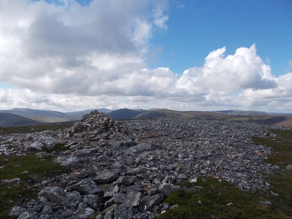 ChallengingCreag nan Gabhar Circuit14.5 km · 5.5 hr · 8.3 km awayA 9-mile ridge loop with a boggy, pathless return.
 ChallengingThe Tolmounth (Jock’s Road)20.4 km · 8 hr · 8.3 km awayA high, exposed pass with a drove-road story.
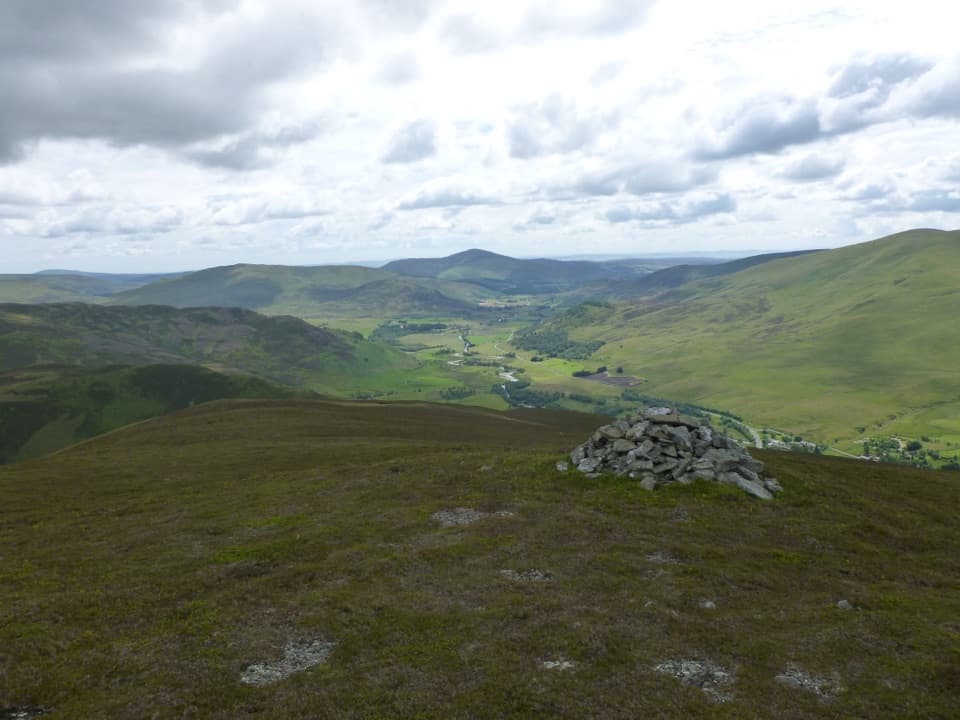 ModerateBen Gulabin Trail5.6 km · 3 hr · 9.2 km awayA steep, direct climb to open views over Glen Shee.ChallengingGlas Tulaichean and Càrn an Rìgh30.1 km · 9 hr · 10.7 km awayTwo Munros, a remote ridge, and a full day on rough ground.
 ChallengingGlen Ey–Glenshee Track24.5 km · 8 hr · 10.8 km awayA remote crossing over Loch nan Eun into Glen Ey.
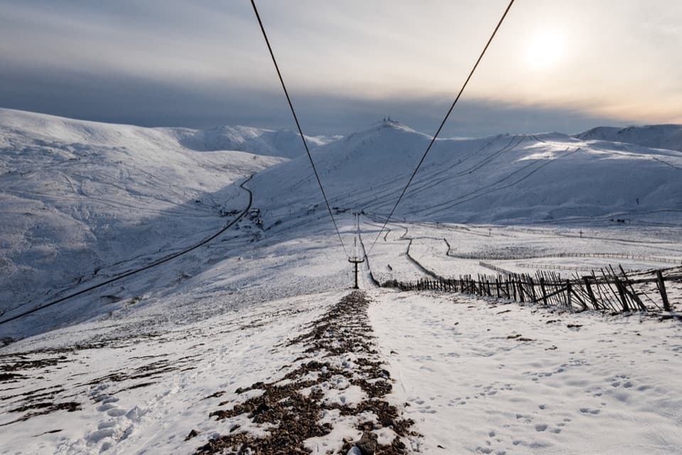 Sight · 2 km awayGlenshee Ski CentreSki on good snow, or ride the Cairnwell Chair for summer views.
 Sight · 4.4 km awayConnecting ContoursA contour-lined path turns a Glenshee layby into a scenic pause.
 Campground · 11 km awayBraemar Caravan Park & Camping PodsA practical base near Braemar village and Invercauld Estate walks.
 Visitor center · 11.3 km awayThe Duke of Rothesay Highland Games PavilionMeet the Gathering’s story beside the field where it unfolds.
 Sight · 11.3 km awayKindrochit CastleA small Braemar ruin with a royal story worth a short stop.
 Lodging · 11.4 km awayThe Fife ArmsStop for a pub meal inside Braemar’s Victorian landmark hotel.
 Store · 11.5 km awayBraemar Chocolate ShopScottish-inspired handmade chocolates in a Braemar village shop.
 Sight · 11.5 km awayCorrie FeeA long forest walk opens onto an ice-carved mountain bowl.
Parkwolf’s Cairngorms ranking

The audio tour guide for the drive, plus offline maps, trails, and wildlife heatmaps for when the signal drops.





