Parking
Start from the café-side parking at Glenshee Ski Centre beside the A93. A larger east-side parking area is used in ski season; parking is chargeable.

Cairngorms National Park, SC
Three Munros above a high start at Glenshee Ski Centre
Overview
Map & elevation
Plan your hike

The highest, rockiest slopes around here are a summer buffet for grizzly bears.
Cairngorms Tour Guide
Parkwolf is a GPS audio tour guide for Cairngorms National Park. As you drive, it chimes in with what’s ahead: hidden gems, upcoming stops, history, geology, and wildlife, right through your car’s speakers.
See the Cairngorms audio tourRecorded for this trailhead
Glenshee and the Cairnwell Chair“Glenshee Ski Centre is ahead at Cairnwell Pass, with an easier way into the high views during summer.”
Plays as you drive up to this trailhead in the Parkwolf Cairngorms Tour Guide.
More stories near here in the app
“Fantastic app with many points of information… It’s great to just turn on while you’re driving and it gives you an audio tour of the national Park. We love it!!!!”


Trail guide
The Cairnwell Munros Circuit is a high-level loop from Glenshee Ski Centre over Càrn Aosda, Càrn a’ Ghèoidh and The Cairnwell. Published figures are about 8 mi (13 km) and 8.8 mi (14.2 km); allow 5–6 hours, with roughly 700 m of ascent. The stored connected-path line measures 6.9 mi, shorter than either published distance. Follow the described three-summit circuit and check the route details before setting out; the line and trip reports do not agree on total mileage.
The opening climb leaves the café-side start and rises steeply on eroded, stony tracks through ski infrastructure to Càrn Aosda (915 m). The high start makes this the easiest summit of the three to reach, but the grade is sustained and the ski runs shape much of the approach. From the ridge, descend toward the bealach above Loch Vrotachan (about 808 m).
Beyond the bealach, the route climbs grassy slopes beside broken crags and small lochans, passing Càrn nan Sac before a flatter, less distinct ridge leads to Càrn a’ Ghèoidh (975 m). This is the circuit’s more remote-feeling summit, with a broad westward view toward Glas Tulaichean. The ridge can be hard to follow in cloud. Return to the 808 m bealach along the same ridge before turning east.
Climb back onto the ridge, pass the chairlift top and reach The Cairnwell (933 m), where masts and buildings occupy the summit. Continue beyond them for a clearer view down Glen Shee. The gentler return drops to the 795 m bealach below Càrn Aosda and follows a corrie track back toward the ski centre. A direct descent below the chairlift is shorter but steeper.
Use the Glenshee Ski Centre café-side car park beside the A93; a larger east-side lot is also used in ski season, and parking is chargeable. Deer management activity increases from September to mid-February, so follow estate notices and stay on established paths and ridges. Dogs may accompany visitors under Scotland’s access code when kept under proper control, especially around livestock and wildlife. This is exposed, open mountain ground: carry a map and compass, and do not rely on a phone or faint tracks alone in mist.
Wildlife
 159 sightingsRed DeerMost seen around 7 AMSighting map
 63 sightingsReindeerMost seen around 6 PMSighting map
 102 sightingsOspreyMost seen around 5 PMSighting map
 37 sightingsBlack GrouseMost seen around 4 AMSighting map
 72 sightingsRed GrouseMost seen around 6 PMSighting map
 82 sightingsPine MartenMost seen around 9 PMSighting map
Sighting maps show where each species has been reported across Cairngorms. Wildlife moves, so no sighting is guaranteed.
Keep exploring
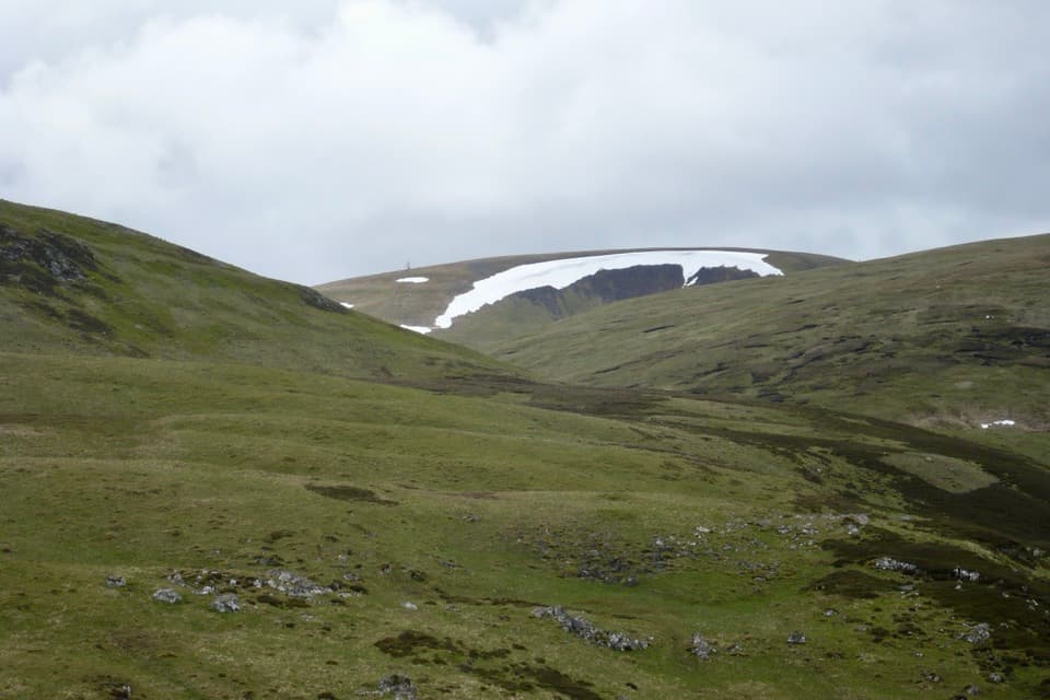 ChallengingGlas Maol Munros Circuit19.3 km · 7 hr · 2 km awayFour Munros, old shielings, a broad plateau, and a rocky final ridge
 ChallengingAn Socach from Glen Clunie15.7 km · 5.8 hr · 5 km awayA long return hike from Baddoch to An Socach’s western Munro summit.
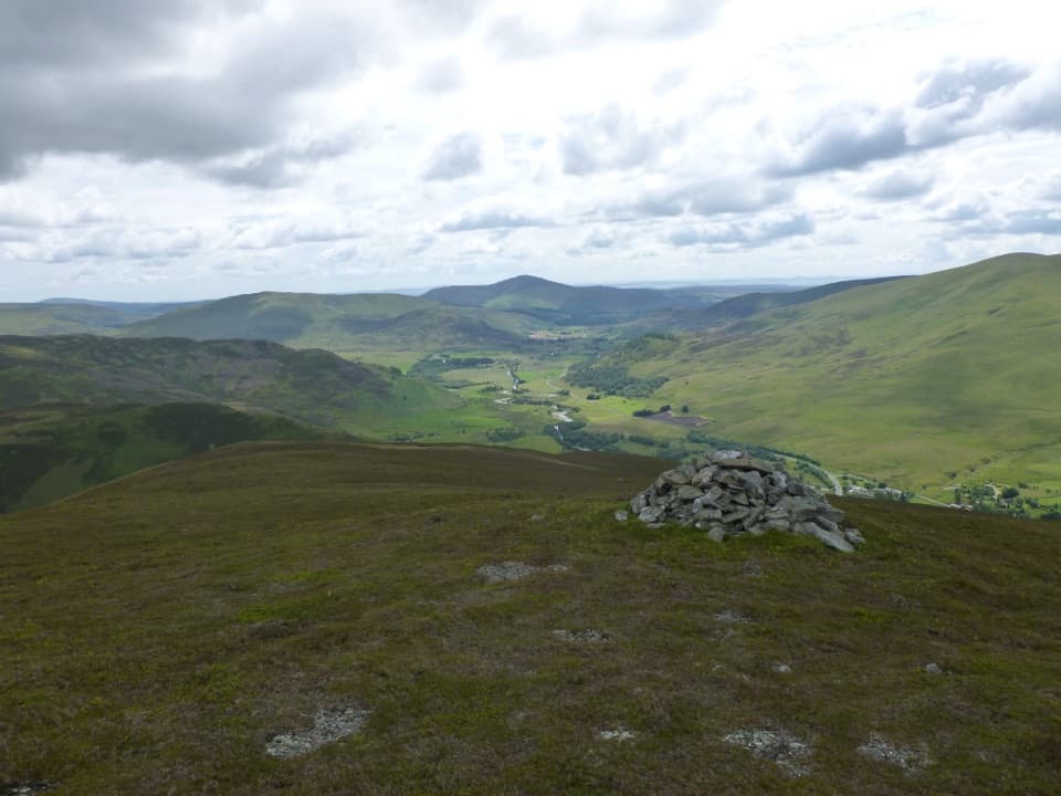 ModerateBen Gulabin Trail5.6 km · 3 hr · 7.2 km awayA steep, direct climb to open views over Glen Shee.ChallengingGlas Tulaichean and Càrn an Rìgh30.1 km · 9 hr · 8.7 km awayTwo Munros, a remote ridge, and a full day on rough ground.
 ChallengingGlen Ey–Glenshee Track24.5 km · 8 hr · 8.7 km awayA remote crossing over Loch nan Eun into Glen Ey.
 ChallengingMonega Hill and Glas Maol Round from Glen Isla21.1 km · 7.3 hr · 9.9 km awayA long Glen Isla horseshoe with two Munros and a boggy finish.
 ModerateMonamenach from Auchavan5.2 km · 2.5 hr · 10 km awayA short, steep Corbett climb with wide Glen Isla views.
 ChallengingMonega Pass14.5 km · 5 hr · 10 km awayAn old high road over a bare, exposed plateau.
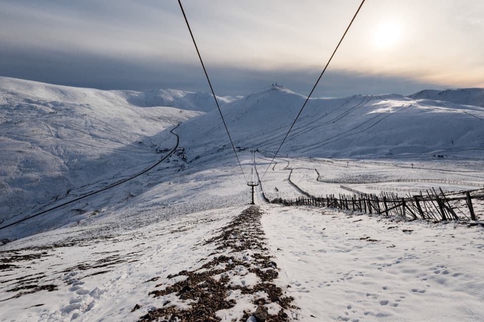 Sight · At the trailheadGlenshee Ski CentreSki on good snow, or ride the Cairnwell Chair for summer views.
 Sight · 2.5 km awayConnecting ContoursA contour-lined path turns a Glenshee layby into a scenic pause.
 Sight · 11.8 km awayCorrie FeeA long forest walk opens onto an ice-carved mountain bowl.
 Campground · 12.9 km awayBraemar Caravan Park & Camping PodsA practical base near Braemar village and Invercauld Estate walks.
 Visitor center · 13.2 km awayThe Duke of Rothesay Highland Games PavilionMeet the Gathering’s story beside the field where it unfolds.
 Sight · 13.2 km awayKindrochit CastleA small Braemar ruin with a royal story worth a short stop.
 Lodging · 13.3 km awayThe Fife ArmsStop for a pub meal inside Braemar’s Victorian landmark hotel.
 Sight · 13.4 km awayLinn of QuoichFollow Quoich Water to its granite Punchbowl and restored cottage.
Parkwolf’s Cairngorms ranking

The audio tour guide for the drive, plus offline maps, trails, and wildlife heatmaps for when the signal drops.





