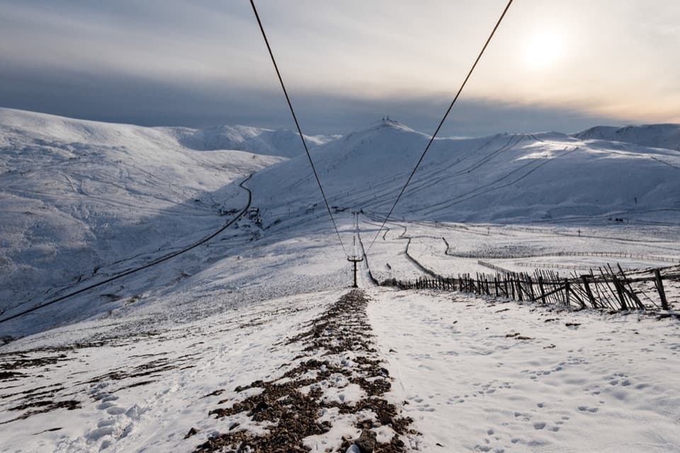
Parking
Start east of the old A93 stone bridge over Shee Water at Spittal of Glenshee; the route ends in Inverey. No dedicated parking or return-transport details were confirmed, so plan transport between the endpoints.

Cairngorms National Park, SC
A remote crossing over Loch nan Eun into Glen Ey.
Overview
Glen Ey–Glenshee Track is a 24.5 km (15.2 mile) one-way crossing from Spittal of Glenshee to Inverey. It climbs through Gleann Taitneach to Loch nan Eun, crosses the watershed, then drops into Glen Ey past Altanour Lodge. This is a long, remote day out for walkers comfortable navigating when the path thins or disappears. If you need an obvious tread all the way or a loop back to your car, choose another walk. Allow around eight hours of walking before a long stop; that is an estimate, and route-finding or water crossings can add time. Arrange transport between the two ends before setting out.
 Parkwolf’s verdictIs this the crossing for you?
Map & elevation
Plan your hike

The highest, rockiest slopes around here are a summer buffet for grizzly bears.
Cairngorms Tour Guide
Parkwolf is a GPS audio tour guide for Cairngorms National Park. As you drive, it chimes in with what’s ahead: hidden gems, upcoming stops, history, geology, and wildlife, right through your car’s speakers.
See the Cairngorms audio tourRecorded for this trailhead
Spittal of Glenshee and the Dalmunzie Hills“You're coming up on Spittal of Glenshee, the starting area for the Glas Tulaichean and Càrn an Rìgh mountain circuit.”
Plays as you drive up to this trailhead in the Parkwolf Cairngorms Tour Guide.
More stories near here in the app
“Fantastic app with many points of information… It’s great to just turn on while you’re driving and it gives you an audio tour of the national Park. We love it!!!!”


Trail guide
Start east of the old A93 stone bridge over Shee Water and head northwest, then north up the east side of Gleann Taitneach. At NO 076 760, the vehicle track turns away to ford the burn; the walking route continues up the narrowing glen. Loch nan Eun sits high among the rounded Mounth hills. Go around its east side. The visible path fades there, so pay close attention to your mapped route instead of expecting a continuous tread.
Descend northeast, then north beside Allt Cac Dubh. At NO 070 803, where it meets Allt Beinn Iutharn, the route crosses a burn before an occasional path on the west bank leads toward the ruined Altanour Lodge. That crossing deserves a careful decision: do not wade if the water is unsafe. Below the lodge, a better track crosses and re-crosses Ey Burn over grassy haughs, then descends on the burn’s east side to Inverey. Expect a mix of faint upland path and clearer lower track, not one consistent surface.
Maps surveyed in the 1860s mark ruined townships, buildings and enclosures along this line, though they do not show a continuous through-track. Five families were evicted from lower Glen Ey in 1829, and eight more families with their animals in 1842; a clampdown on illicit whisky distilling helped hasten those departures. A medieval travelers’ hospital at Spittal has been suggested from the place-name, but no contemporary record proves it, so treat that as a possibility rather than a fact.
Dogs can accompany walkers under Scotland’s access rights. Keep yours under proper control around livestock and wildlife.
Wildlife
 159 sightingsRed DeerMost seen around 7 AMSighting map
 63 sightingsReindeerMost seen around 6 PMSighting map
 102 sightingsOspreyMost seen around 5 PMSighting map
 37 sightingsBlack GrouseMost seen around 4 AMSighting map
 72 sightingsRed GrouseMost seen around 6 PMSighting map
 82 sightingsPine MartenMost seen around 9 PMSighting map
Sighting maps show where each species has been reported across Cairngorms. Wildlife moves, so no sighting is guaranteed.
Keep exploring
 ChallengingGlas Tulaichean and Càrn an Rìgh30.1 km · 9 hr · 0.5 km awayTwo Munros, a remote ridge, and a full day on rough ground.
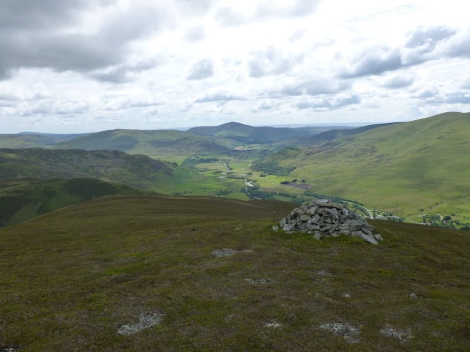 ModerateBen Gulabin Trail5.6 km · 3 hr · 1.6 km awayA steep, direct climb to open views over Glen Shee.
 ChallengingMonega Pass14.5 km · 5 hr · 8.1 km awayAn old high road over a bare, exposed plateau.
 ChallengingMonega Hill and Glas Maol Round from Glen Isla21.1 km · 7.3 hr · 8.2 km awayA long Glen Isla horseshoe with two Munros and a boggy finish.
 ModerateMonamenach from Auchavan5.2 km · 2.5 hr · 8.2 km awayA short, steep Corbett climb with wide Glen Isla views.
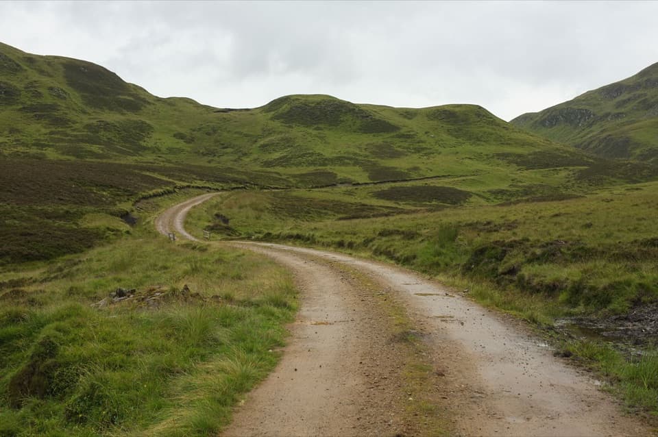 ChallengingGlen Tilt to Glen Fernate Drove Road24 km · 8.5 hr · 8.4 km awayA long old drovers' road across the hills to Glen Tilt.ChallengingThe Cairnwell Munros Circuit12.9 km · 5.5 hr · 8.7 km awayThree Munros above a high start at Glenshee Ski Centre
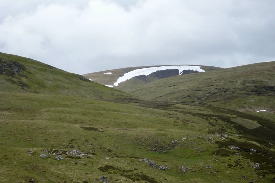 ChallengingGlas Maol Munros Circuit19.3 km · 7 hr · 10.8 km awayFour Munros, old shielings, a broad plateau, and a rocky final ridge
Parkwolf’s Cairngorms ranking
The audio tour guide for the drive, plus offline maps, trails, and wildlife heatmaps for when the signal drops.