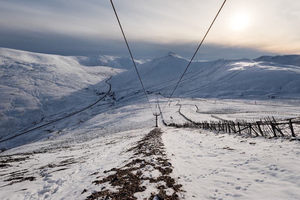
Parking
Free hillwalker parking is by the entrance to Dalmunzie’s private drive at Spittal of Glenshee. The route follows the drive about 2 km to the hotel and back. Limited paid parking at the hotel shortens that approach.

Cairngorms National Park, SC
Two Munros, a remote ridge, and a full day on rough ground.
Overview
Map & elevation
Plan your hike

The highest, rockiest slopes around here are a summer buffet for grizzly bears.
Cairngorms Tour Guide
Parkwolf is a GPS audio tour guide for Cairngorms National Park. As you drive, it chimes in with what’s ahead: hidden gems, upcoming stops, history, geology, and wildlife, right through your car’s speakers.
See the Cairngorms audio tourRecorded for this trailhead
Spittal of Glenshee and the Dalmunzie Hills“You're coming up on Spittal of Glenshee, the starting area for the Glas Tulaichean and Càrn an Rìgh mountain circuit.”
Plays as you drive up to this trailhead in the Parkwolf Cairngorms Tour Guide.
More stories near here in the app
“Fantastic app with many points of information… It’s great to just turn on while you’re driving and it gives you an audio tour of the national Park. We love it!!!!”


Trail guide
Glas Tulaichean and Càrn an Rìgh make a long mountain loop from the Dalmunzie drive entrance at Spittal of Glenshee. The mapped route is about 18.7 miles (30 km), with roughly 1,085 m of ascent; allow eight to ten hours. It climbs Glen Lochsie to Glas Tulaichean’s 1,051 m summit, crosses rough high ground to Càrn an Rìgh, then returns by Loch nan Eun and Gleann Taitneach. This is a demanding day for experienced hillwalkers, not a short add-on to a hotel visit. Shorter published totals differ; this measurement counts the whole approach from Spittal and the return drive, roughly 2 km each way from the hotel.
From the free parking by Dalmunzie’s private drive, walk the drive to the hotel, then continue past it toward Glenlochsie Farm. Follow the estate markers that bypass the farmyard through the field and rejoin the track. The route climbs beside the burn, passing the line of a small railway built in 1921 to bring stone for Dalmunzie Castle. Old concrete sleepers remain. The track steepens around Glenlochsie Lodge, then eases as it climbs onto the broad ridge and reaches the domed summit of Glas Tulaichean. Leave the track briefly for the trig point; the craggier Ghlas Choire lies to the east.
The ridge crossing is the hardest part to navigate. From Glas, descend northeast around the edge of the corrie, then turn north and keep left of Glas Choire Bheag. Boggy slopes lead to a stalkers’ path and the 771 m bealach. Leave the path for Càrn an Rìgh’s grassy, stony upper slope. Its untidy cairn marks the 1,029 m summit, with Beinn a’ Ghlò to the west. The ground is open and the tread is faint in places, so cloud makes route-finding much harder.
Retrace the line to the bealach and follow the path below Màm nan Càrn. It fades into bog before reappearing toward the south side of Loch nan Eun, a lonely loch near 800 m. From there, descend on the left side of the stream over a boggy path; a bulldozed track comes after about 1.5 km. The glen is steep-sided and the way down is long. Follow the track across the Allt Elrig side stream, then leave it at the footbridge over Allt Ghlinn Thaitneach and take the path on the west bank. It rejoins the outward route near the hotel; walk the drive back to Spittal.
Dalmunzie’s written records reach back to 1510, and the glens had farms and hamlets before 1800. Cottage footings still mark that older settlement. The railway is the more unusual remnant: it carried building stone in the 1920s, then served sporting guests into the 1970s. Gleann Taitneach was shaped by glaciation, and the estate notes mountain hares, deer and eagles among the wildlife visitors may spot there.
Wildlife
 159 sightingsRed DeerMost seen around 7 AMSighting map
 63 sightingsReindeerMost seen around 6 PMSighting map
 102 sightingsOspreyMost seen around 5 PMSighting map
 37 sightingsBlack GrouseMost seen around 4 AMSighting map
 72 sightingsRed GrouseMost seen around 6 PMSighting map
 82 sightingsPine MartenMost seen around 9 PMSighting map
Sighting maps show where each species has been reported across Cairngorms. Wildlife moves, so no sighting is guaranteed.
Keep exploring
 ChallengingGlen Ey–Glenshee Track24.5 km · 8 hr · 0.5 km awayA remote crossing over Loch nan Eun into Glen Ey.
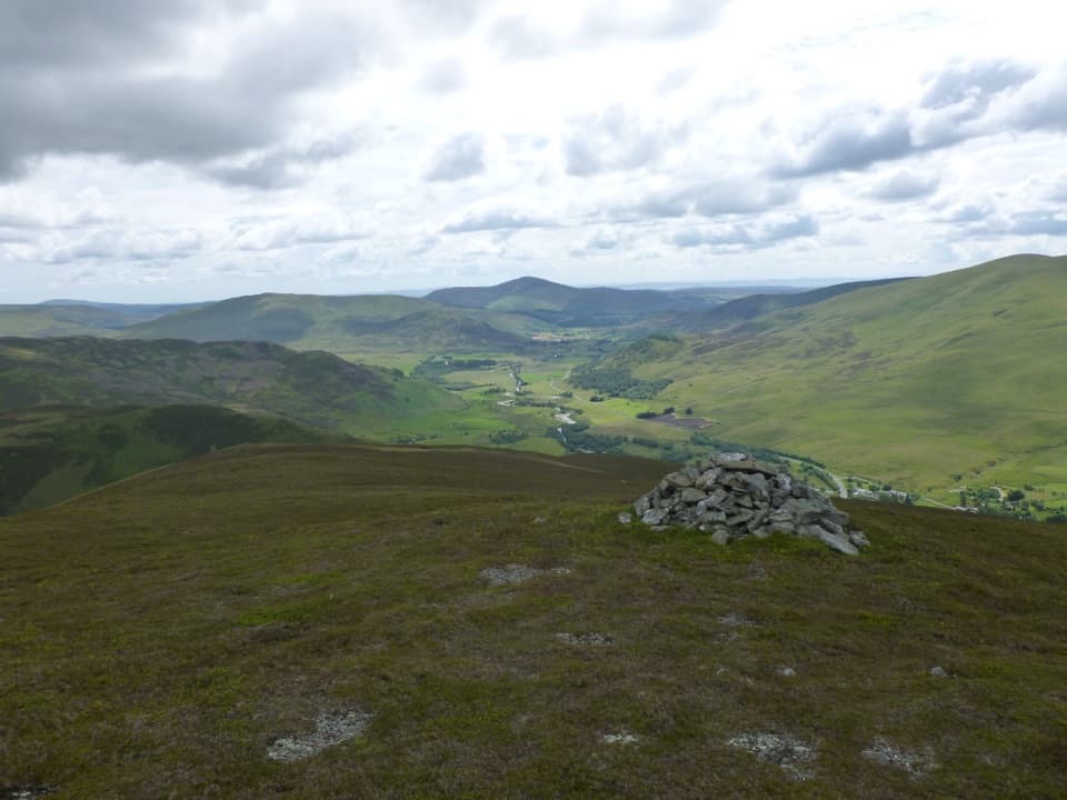 ModerateBen Gulabin Trail5.6 km · 3 hr · 1.6 km awayA steep, direct climb to open views over Glen Shee.
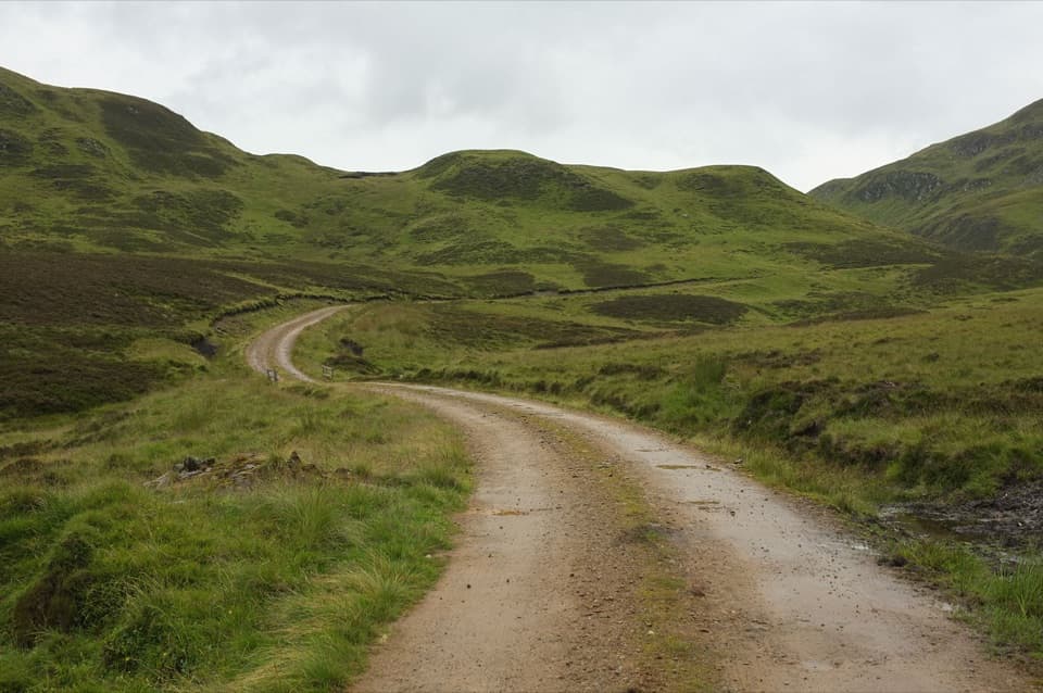 ChallengingGlen Tilt to Glen Fernate Drove Road24 km · 8.5 hr · 8.2 km awayA long old drovers' road across the hills to Glen Tilt.
 ChallengingMonega Pass14.5 km · 5 hr · 8.6 km awayAn old high road over a bare, exposed plateau.ChallengingThe Cairnwell Munros Circuit12.9 km · 5.5 hr · 8.7 km awayThree Munros above a high start at Glenshee Ski Centre
 ChallengingMonega Hill and Glas Maol Round from Glen Isla21.1 km · 7.3 hr · 8.7 km awayA long Glen Isla horseshoe with two Munros and a boggy finish.
 ModerateMonamenach from Auchavan5.2 km · 2.5 hr · 8.7 km awayA short, steep Corbett climb with wide Glen Isla views.
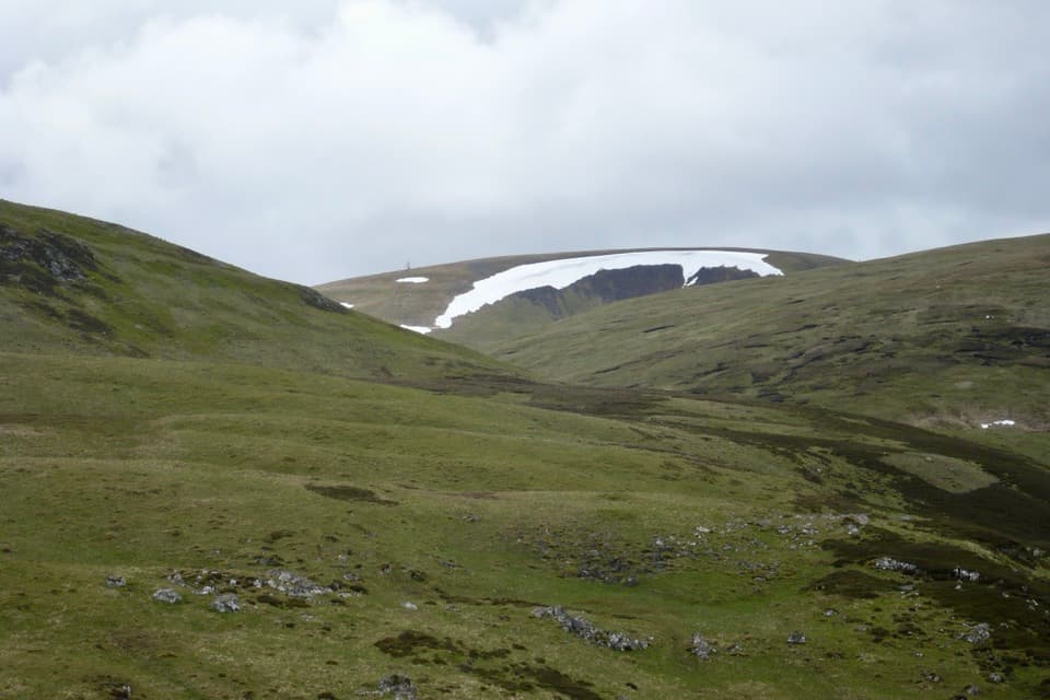 ChallengingGlas Maol Munros Circuit19.3 km · 7 hr · 10.7 km awayFour Munros, old shielings, a broad plateau, and a rocky final ridge
Parkwolf’s Cairngorms ranking

The audio tour guide for the drive, plus offline maps, trails, and wildlife heatmaps for when the signal drops.