Parking
Falls of Truim roadside access off the A9 at Crubenbeg, on the junction signed for Crubenmore and Dalwhinnie. Check local signs: public information on parking capacity and restrictions is unclear.

Cairngorms National Park, SC
Several close looks at the River Truim's rocky rapids.
Overview
Map & elevation
Plan your hike

The highest, rockiest slopes around here are a summer buffet for grizzly bears.
Cairngorms Tour Guide
Parkwolf is a GPS audio tour guide for Cairngorms National Park. As you drive, it chimes in with what’s ahead: hidden gems, upcoming stops, history, geology, and wildlife, right through your car’s speakers.
See the Cairngorms audio tourRecorded for this trailhead
Falls of Truim's Rocky Rapids“You're approaching the start of the Falls of Truim walk at Crubenbeg. Choose this for a half-hour riverside outing, with a series of rapids and close viewpoints along a one-kilometre return path.”
Plays as you drive up to this trailhead in the Parkwolf Cairngorms Tour Guide.
More stories near here in the app
“Fantastic app with many points of information… It’s great to just turn on while you’re driving and it gives you an audio tour of the national Park. We love it!!!!”


Trail guide
Falls of Truim is a 1 km return walk (about 0.62 mile) beside the tumbling River Truim; allow about 30 minutes. The payoff is a series of rapids and several close viewpoints, not one high plunge. This entry covers the short walk to the falls and back. A separate 9 km woodland circuit shares the name but is a much longer hike.
The path has narrow sections over rocks and rough ground above a steep drop to the river. It is a quick outing, but uneven footing and the exposed edge make it a poor match if you need a wide, smooth path. Keep well back from the bank. Pools and potholes in the rock have been carved by the river over centuries.
Start from the Falls of Truim roadside access at Crubenbeg, just off the A9, signed for Crubenmore and Dalwhinnie. The access is described as a car park, but its parking rules and capacity are not consistently documented, so check the signs before leaving your car. Cattle may be in the fields and woods nearby; dogs can come along but need close control, and follow any signs.
Wildlife
 159 sightingsRed DeerMost seen around 7 AMSighting map
 63 sightingsReindeerMost seen around 6 PMSighting map
 102 sightingsOspreyMost seen around 5 PMSighting map
 37 sightingsBlack GrouseMost seen around 4 AMSighting map
 72 sightingsRed GrouseMost seen around 6 PMSighting map
 82 sightingsPine MartenMost seen around 9 PMSighting map
Sighting maps show where each species has been reported across Cairngorms. Wildlife moves, so no sighting is guaranteed.
Keep exploring
 ModerateGlentruim Forest Viewpoint Walk2.1 km · 1 hr · 2 km awayA brief, steep climb to a broad Badenoch panorama.
 ModerateGlentruim Forest Loop2.9 km · 1.5 hr · 2 km awayA blue-waymarked forest loop past the Centre of Scotland Stone.
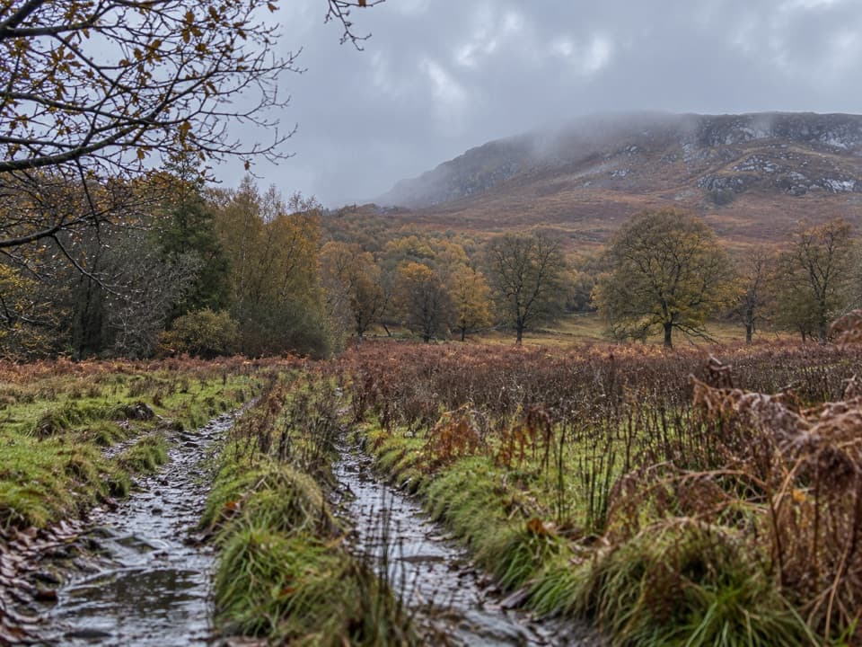 ModerateAllt Mhoraich Circuit5.6 km · 2.5 hr · 2.6 km awayA rough moorland loop where the track fades beneath the crags.
 ModerateMeall Chuaich from Layby 9414.1 km · 4.5 hr · 6.2 km awayA long track walk earns a broad Munro summit panorama.
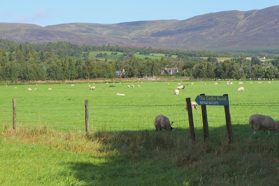 EasyThe Coffin Road, Newtonmore2.8 km · 1 hr · 6.7 km awayA short historic walk from the Spey to Banchor Cemetery.
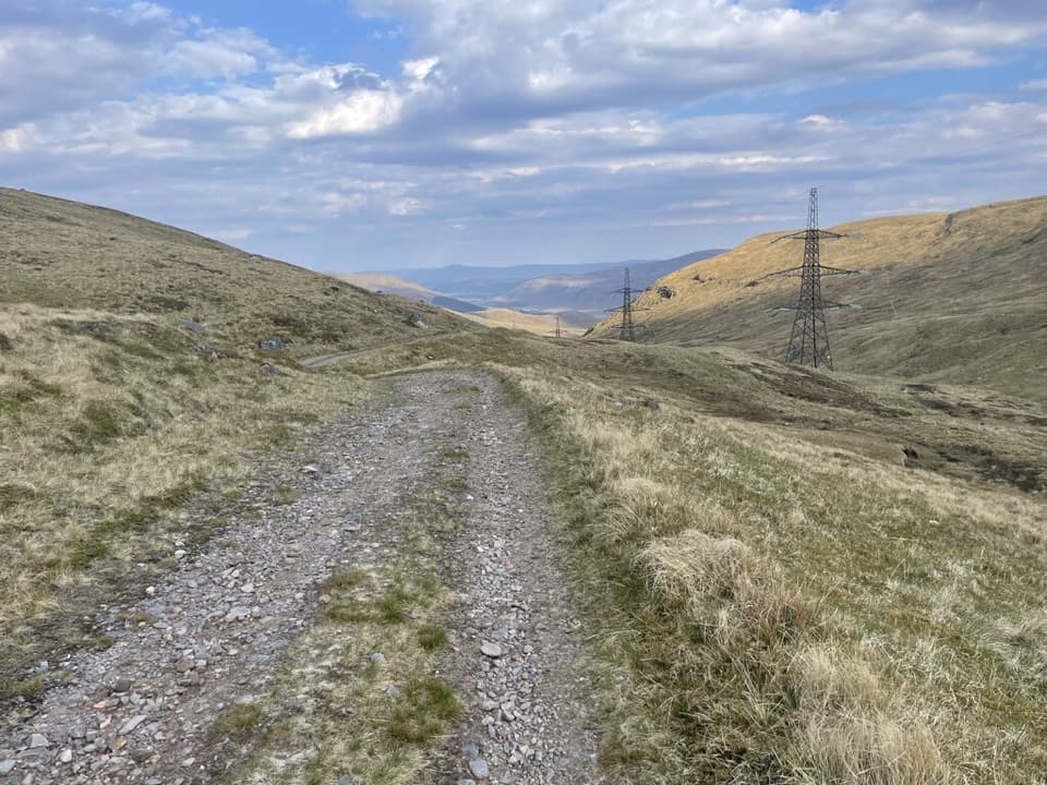 ChallengingCorrieyairack Pass39.4 km · 11 hr · 7 km awayFollow General Wade’s 1731 road across the Monadhliath.
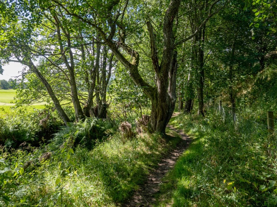 ModerateThe Wildcat Trail10.1 km · 3.5 hr · 7.1 km awayA village loop through birchwood, rivers and a steep gorge.
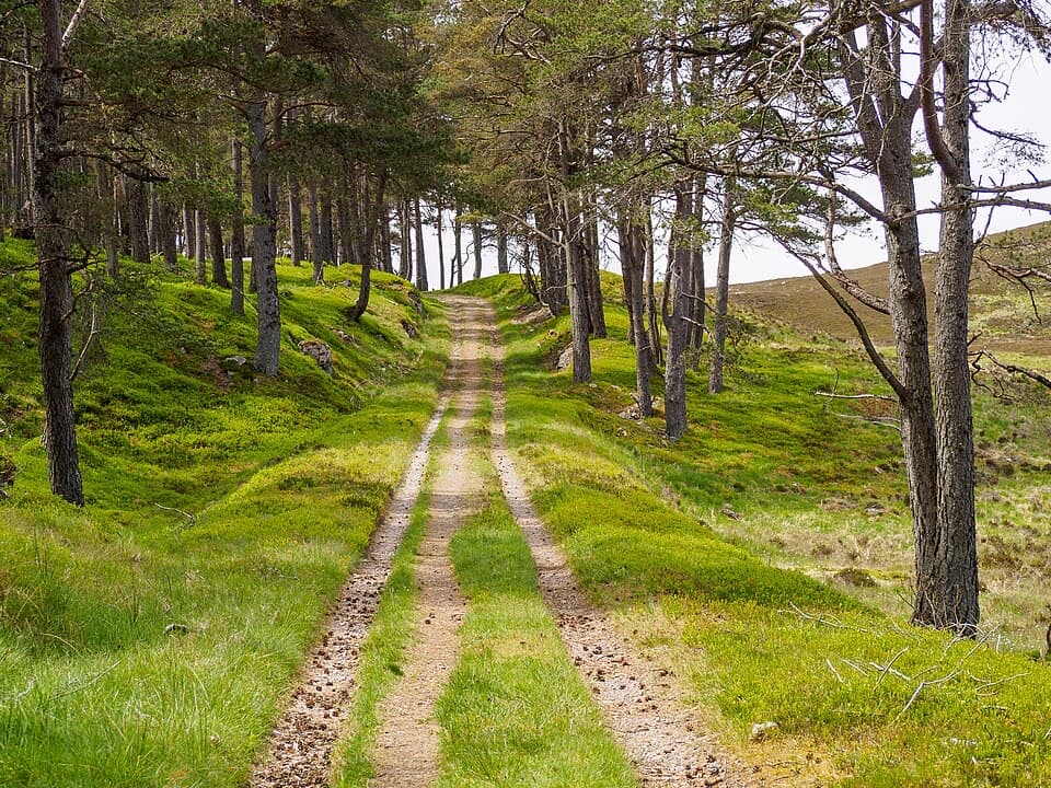 ChallengingComyn’s Road35 km · 13 hr · 7.2 km awayA 35 km medieval crossing with vanished bridges and hard navigation.
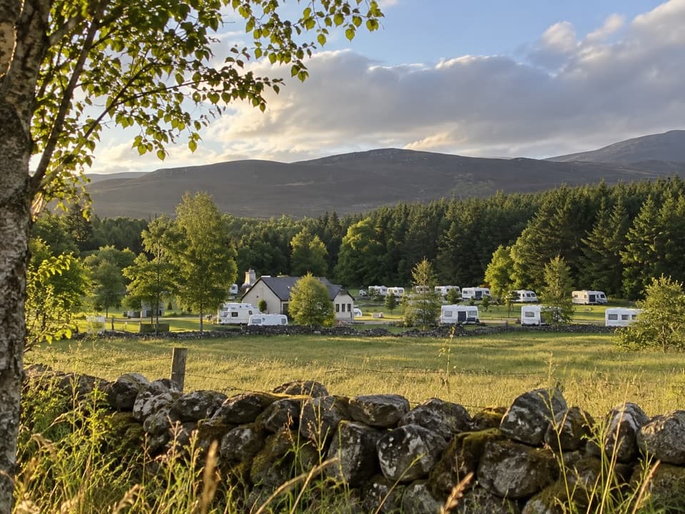 Campground · 2.9 km awayInvernahavon Caravan ParkRoomy pitches, hot showers and wooded Highland views.
 Sight · 7.4 km awayClan Macpherson MuseumClan stories, Jacobite objects and music in a village museum.
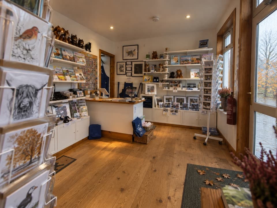 Visitor center · 7.7 km awayThe Wildcat CentrePick up a map and hunt Newtonmore’s 132 painted wildcats.
 Sight · 8 km awayDalwhinnie DistilleryWhisky tours and tastings at a Highland distillery 355 metres up.
 Sight · 8.8 km awayLaggan WolftraxOver 20 forest miles, from beginner greens to one unforgiving black.
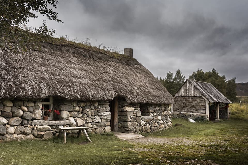 Sight · 8.9 km awayHighland Folk MuseumA reconstructed township and over 35 Highland buildings to explore.
 Campground · 10.9 km awayKingussie Camping & AireA practical motorhome stop beside Kingussie station.
 Sight · 11.2 km awayRuthven BarracksCulloden's aftermath is written into these roofless barracks.
Parkwolf’s Cairngorms ranking

The audio tour guide for the drive, plus offline maps, trails, and wildlife heatmaps for when the signal drops.





