Parking
Start from the car park on the green in central Ballater; follow Bridge Street to Ballater Bridge and the signed path on the B976.

Cairngorms National Park, SC
A steep woodland climb to a cairn above Ballater.
Overview
Map & elevation
Plan your hike

The highest, rockiest slopes around here are a summer buffet for grizzly bears.
Cairngorms Tour Guide
Parkwolf is a GPS audio tour guide for Cairngorms National Park. As you drive, it chimes in with what’s ahead: hidden gems, upcoming stops, history, geology, and wildlife, right through your car’s speakers.
See the Cairngorms audio tourRecorded for this trailhead
Ballater Old Royal Station“Ballater's Old Royal Station is ahead, a handy stop for royal railway history and something to eat.”
Plays as you drive up to this trailhead in the Parkwolf Cairngorms Tour Guide.
More stories near here in the app
“Fantastic app with many points of information… It’s great to just turn on while you’re driving and it gives you an audio tour of the national Park. We love it!!!!”


Trail guide
This is a loop from Ballater’s green, across Ballater Bridge and the B976, through Pannanich Woods to the 397 m summit cairn on Craig Coillich, then back by Dalmochie Camp. The connected route line measures about 4.1 km (2.6 mi); the published figure rounds it to 4 km (2.5 mi). Allow 1.5–2 hours for roughly 208 m of ascent. It is a short outing with a sustained, very steep climb and a rough, rooted descent.
From the green, follow Bridge Street over Ballater Bridge and cross the B976 to the signed path. Take the uphill right fork, then keep right at the next junction for the restored Mackenzie “Come & Rest” seat. Stay on the path to its left, beside an artificial lochan, and cross the forestry track onto the faint, rutted climbing track. Near the top, follow the main track to the summit viewpoint by the radio mast and cairn; return to the junction and take the narrower descending path. Bear left at the next fork, then turn left on the forestry track at the hill foot to reach Dalmochie Camp. Continue to the junction, take the right-hand path down to the road, and cross the bridge back to Ballater. The separate 3.2 km Pannanich Woods Circular is a gentler option that passes the camp without climbing Craig Coillich.
The upper track climbs steeply through the trees before it levels near the top. At the cairn, Ballater lies below with the surrounding hills beyond. This is the route’s clearest viewpoint; pause here for the panorama, then retrace the short summit spur before starting the descent.
The woods take their name from Pannanich Wells, a spring whose water was reputed to have healing qualities. Ballater grew as a stopping place for people visiting the wells, which became known as the “Lourdes of the North.” The restored memorial seat on the ascent commemorates Sir Allan Russell MacKenzie, the second Baronet of Glenmuick.
The descent passes Dalmochie Camp, where Canadian lumberjacks lived while felling timber for the Second World War effort. Three interpretation boards tell the story of the camp and the forestry work.
Blaeberry on the upper slopes is food for capercaillie. The birds are elusive, though their call may be heard. Keep dogs under tight control and stay on the paths so people and animals do not disturb the birds, especially while they are rearing young.
Wildlife
 159 sightingsRed DeerMost seen around 7 AMSighting map
 63 sightingsReindeerMost seen around 6 PMSighting map
 102 sightingsOspreyMost seen around 5 PMSighting map
 37 sightingsBlack GrouseMost seen around 4 AMSighting map
 72 sightingsRed GrouseMost seen around 6 PMSighting map
 82 sightingsPine MartenMost seen around 9 PMSighting map
Sighting maps show where each species has been reported across Cairngorms. Wildlife moves, so no sighting is guaranteed.
Keep exploring
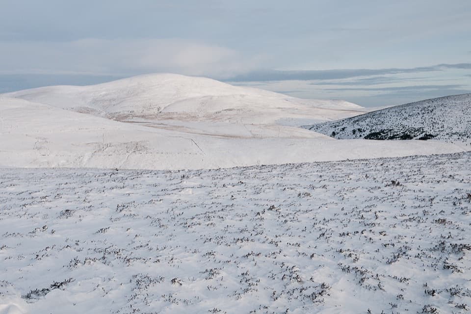 ModerateSgòr Buidhe Circuit, Ballater12.6 km · 3.5 hr · At the trailheadA steep Ballater loop to open moorland and views across the Dee.
 ModerateRiverside Walk, Ballater3.7 km · 1.5 hr · At the trailheadA short Dee-side loop with mountain views and one steep, uneven stretch.
 ModerateSeven Bridges Walk, Ballater8.9 km · 3.3 hr · At the trailheadA riverside loop through oak woods, old rail paths and iron bridges.
 ModeratePannanich Woods Circular3.2 km · 1.3 hr · At the trailheadA short Ballater woodland loop past a wartime Canadian lumber camp.
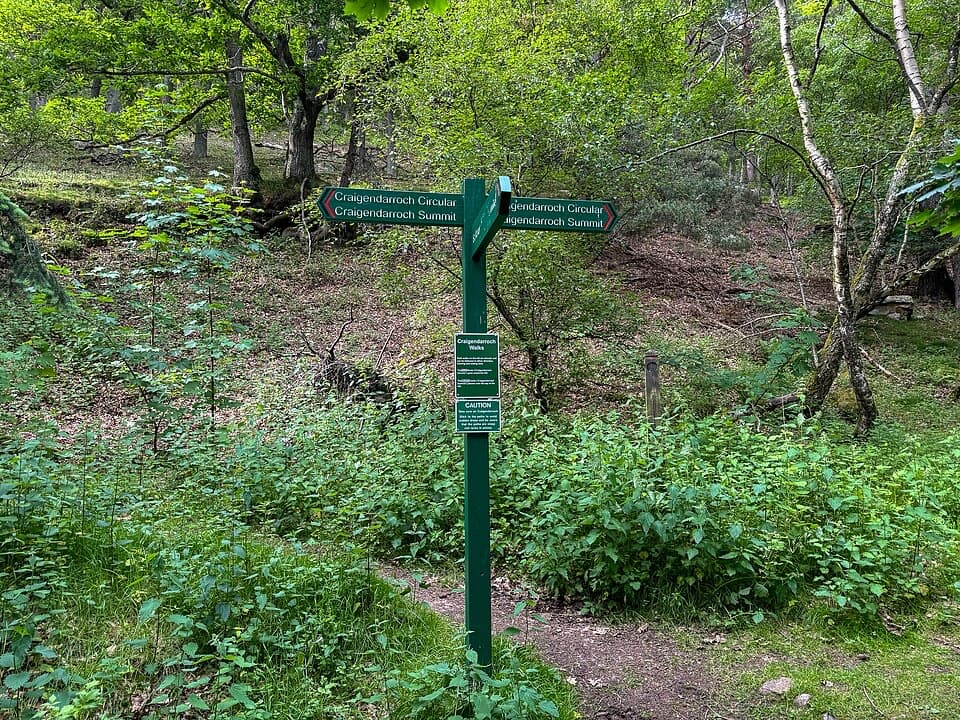 ChallengingCraigendarroch Circular3.6 km · 2 hr · At the trailheadCircle the rocky oak hill beneath a mixed woodland canopy.
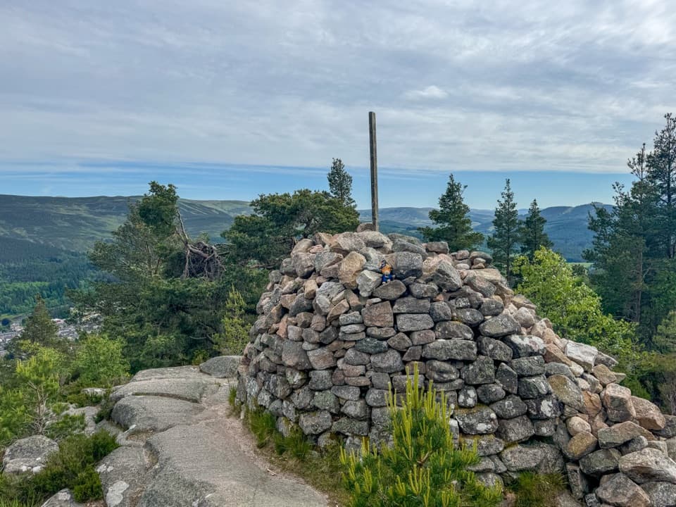 ChallengingCraigendarroch Summit Trail3.5 km · 2 hr · At the trailheadSteep oakwood climb to a summit cairn and views over Ballater
 ModerateCambus o’May Circular12.5 km · 4.5 hr · At the trailheadFollow the river to a 1905 suspension bridge and loop back.
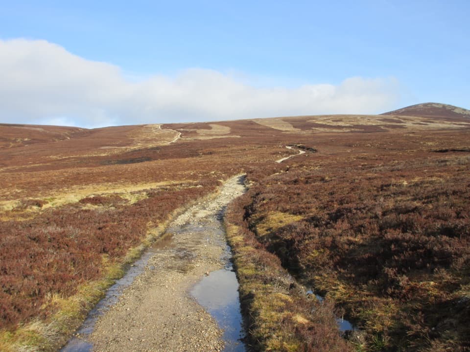 ChallengingMount Keen Through-Route from Bridge of Muick to Invermark21 km · 7 hr · 1.2 km awayA long, rough historic crossing through the Mounth
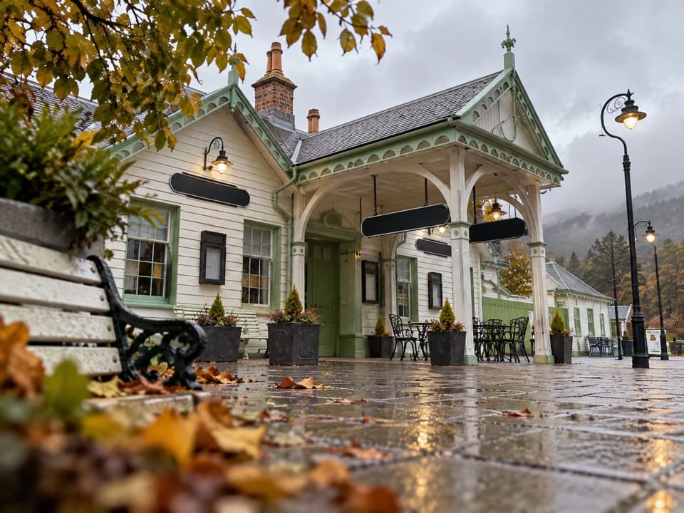 Sight · At the trailheadBallater Old Royal StationA replica royal carriage, station history and a café under one roof.
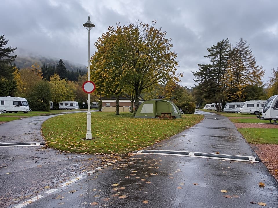 Campground · 0.6 km awayBallater Caravan ParkPitch beside the Dee, then walk into Ballater.
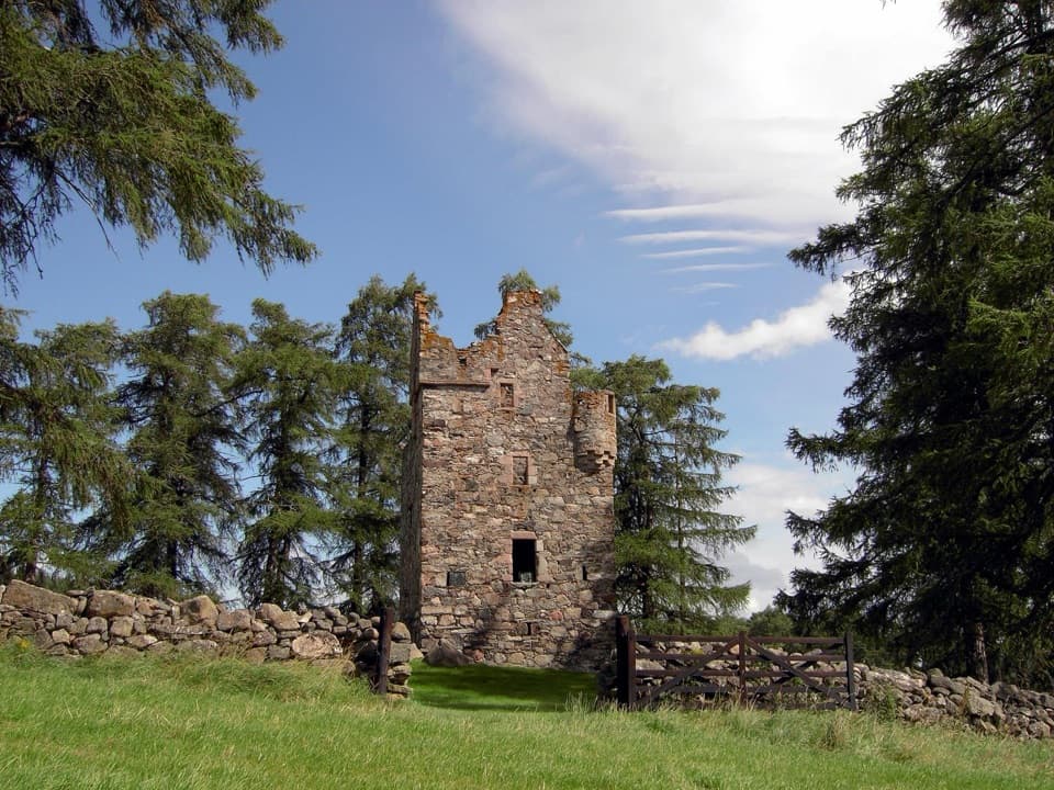 Sight · 1.9 km awayKnock CastleA roofless Gordon tower above Ballater, with a surviving spiral stair.Sight · 5.4 km awayCambus o’May Suspension BridgeCross the Dee on a white 1905 suspension bridge
 Sight · 6.6 km awayBurn O’VatA narrow crack opens into an 18-metre granite chamber with a waterfall.
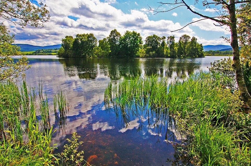 Sight · 8.1 km awayLoch KinordA lochside circuit links wooded islands and Pictish carving.
 Sight · 8.9 km awayGairnshiel BridgeA humpback stone arch beside the modern A939 crossing.
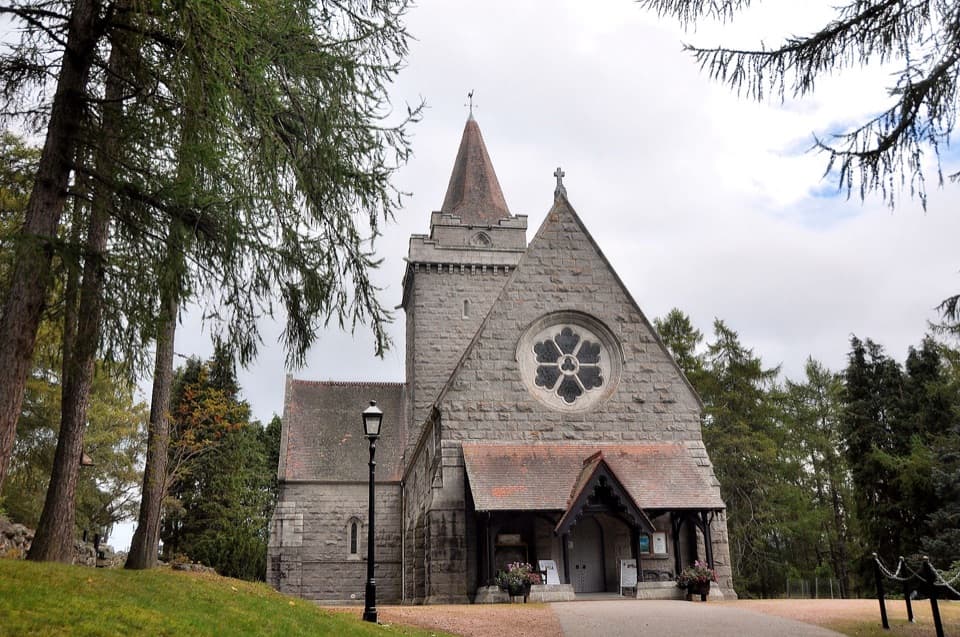 Sight · 10.4 km awayCrathie KirkA royal parish church above the Dee, near Balmoral.
Parkwolf’s Cairngorms ranking

The audio tour guide for the drive, plus offline maps, trails, and wildlife heatmaps for when the signal drops.





