Parking
Station Square, Ballater; public parking is marked close to the start.

Cairngorms National Park, SC
A short Dee-side loop with mountain views and one steep, uneven stretch.
Overview
Map & elevation
Plan your hike

The highest, rockiest slopes around here are a summer buffet for grizzly bears.
Cairngorms Tour Guide
Parkwolf is a GPS audio tour guide for Cairngorms National Park. As you drive, it chimes in with what’s ahead: hidden gems, upcoming stops, history, geology, and wildlife, right through your car’s speakers.
See the Cairngorms audio tourRecorded for this trailhead
Ballater Old Royal Station“Ballater's Old Royal Station is ahead, a handy stop for royal railway history and something to eat.”
Plays as you drive up to this trailhead in the Parkwolf Cairngorms Tour Guide.
More stories near here in the app
“Fantastic app with many points of information… It’s great to just turn on while you’re driving and it gives you an audio tour of the national Park. We love it!!!!”


Trail guide
Riverside Walk is a low-level circular route of about 2¼ miles (3.7 km), starting from Station Square and circling between the River Dee and Ballater Golf Club. Allow about 1½ hours. One section is steep and uneven, so expect a little more effort than a flat riverside stroll.
Follow the Dee beside the golf course on mostly wide, earthy paths. Some stretches narrow and become rough and rocky, and the route has one steep, uneven section. It stays low overall, with mountain views along the way.
Begin at Station Square and follow the green waymarks around the circuit. Public parking and toilets are marked close to the start. Dogs are welcome; keep them close at heel or on a short lead in busier places, and follow posted signs.
Wildlife
 159 sightingsRed DeerMost seen around 7 AMSighting map
 63 sightingsReindeerMost seen around 6 PMSighting map
 102 sightingsOspreyMost seen around 5 PMSighting map
 37 sightingsBlack GrouseMost seen around 4 AMSighting map
 72 sightingsRed GrouseMost seen around 6 PMSighting map
 82 sightingsPine MartenMost seen around 9 PMSighting map
Sighting maps show where each species has been reported across Cairngorms. Wildlife moves, so no sighting is guaranteed.
Keep exploring
 ModerateCraig Coillich and Pannanich Woods4.2 km · 1.8 hr · At the trailheadA steep woodland climb to a cairn above Ballater.
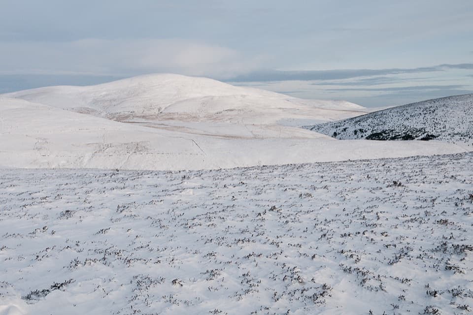 ModerateSgòr Buidhe Circuit, Ballater12.6 km · 3.5 hr · At the trailheadA steep Ballater loop to open moorland and views across the Dee.
 ModerateSeven Bridges Walk, Ballater8.9 km · 3.3 hr · At the trailheadA riverside loop through oak woods, old rail paths and iron bridges.
 ModeratePannanich Woods Circular3.2 km · 1.3 hr · At the trailheadA short Ballater woodland loop past a wartime Canadian lumber camp.
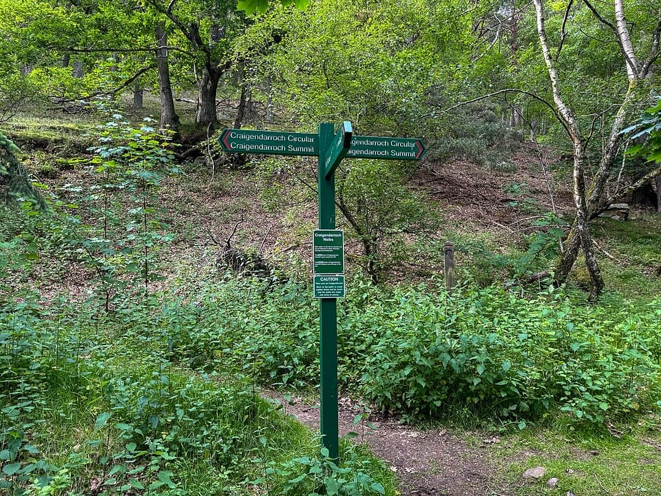 ChallengingCraigendarroch Circular3.6 km · 2 hr · At the trailheadCircle the rocky oak hill beneath a mixed woodland canopy.
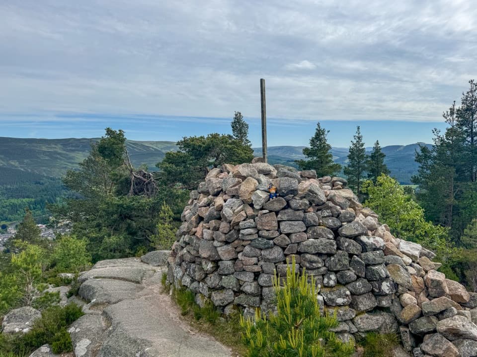 ChallengingCraigendarroch Summit Trail3.5 km · 2 hr · At the trailheadSteep oakwood climb to a summit cairn and views over Ballater
 ModerateCambus o’May Circular12.5 km · 4.5 hr · At the trailheadFollow the river to a 1905 suspension bridge and loop back.
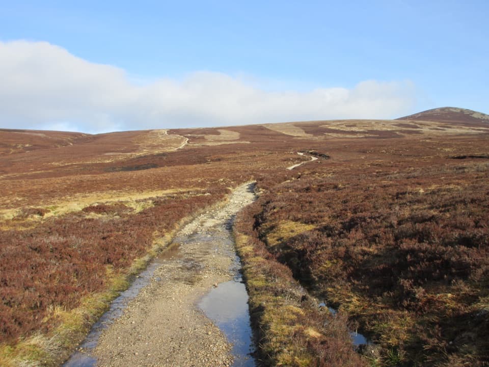 ChallengingMount Keen Through-Route from Bridge of Muick to Invermark21 km · 7 hr · 1.2 km awayA long, rough historic crossing through the Mounth
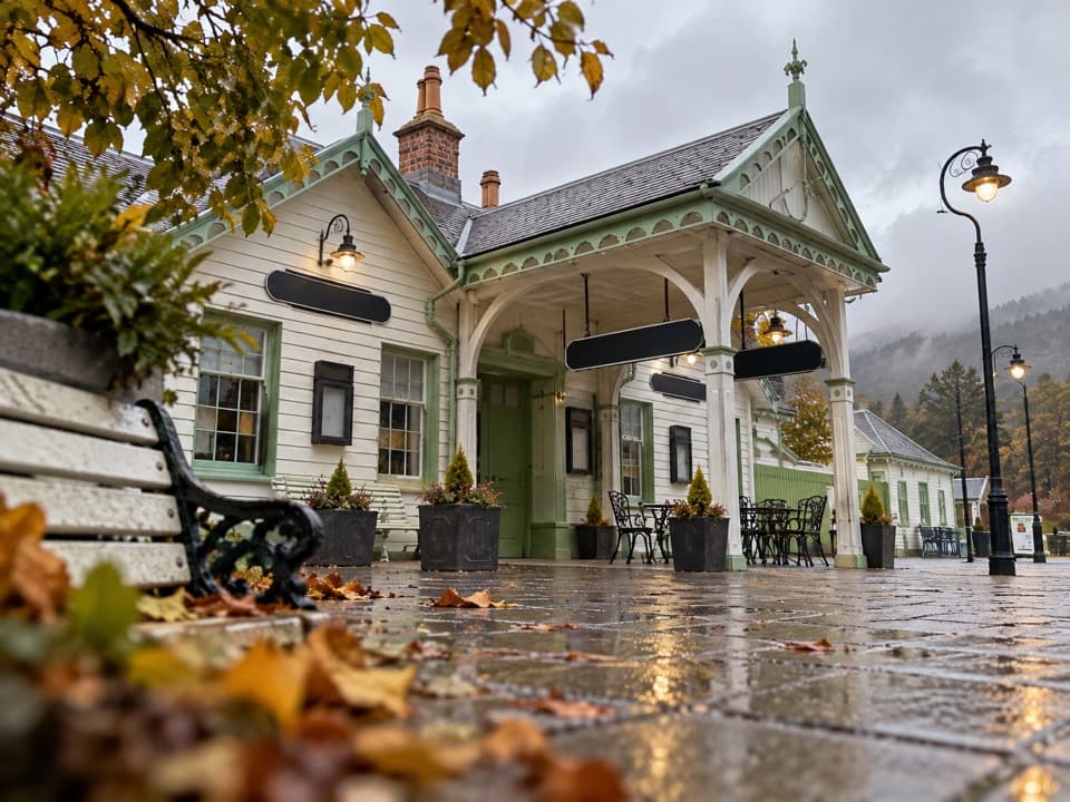 Sight · At the trailheadBallater Old Royal StationA replica royal carriage, station history and a café under one roof.
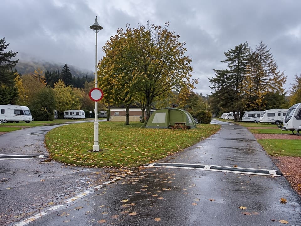 Campground · 0.6 km awayBallater Caravan ParkPitch beside the Dee, then walk into Ballater.
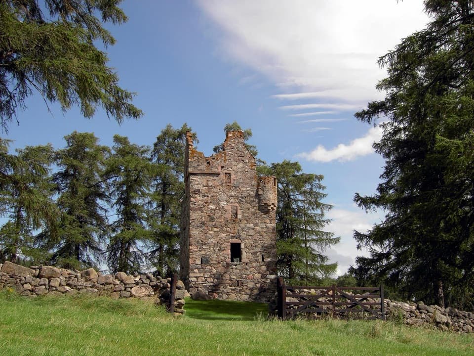 Sight · 1.9 km awayKnock CastleA roofless Gordon tower above Ballater, with a surviving spiral stair.Sight · 5.3 km awayCambus o’May Suspension BridgeCross the Dee on a white 1905 suspension bridge
 Sight · 6.6 km awayBurn O’VatA narrow crack opens into an 18-metre granite chamber with a waterfall.
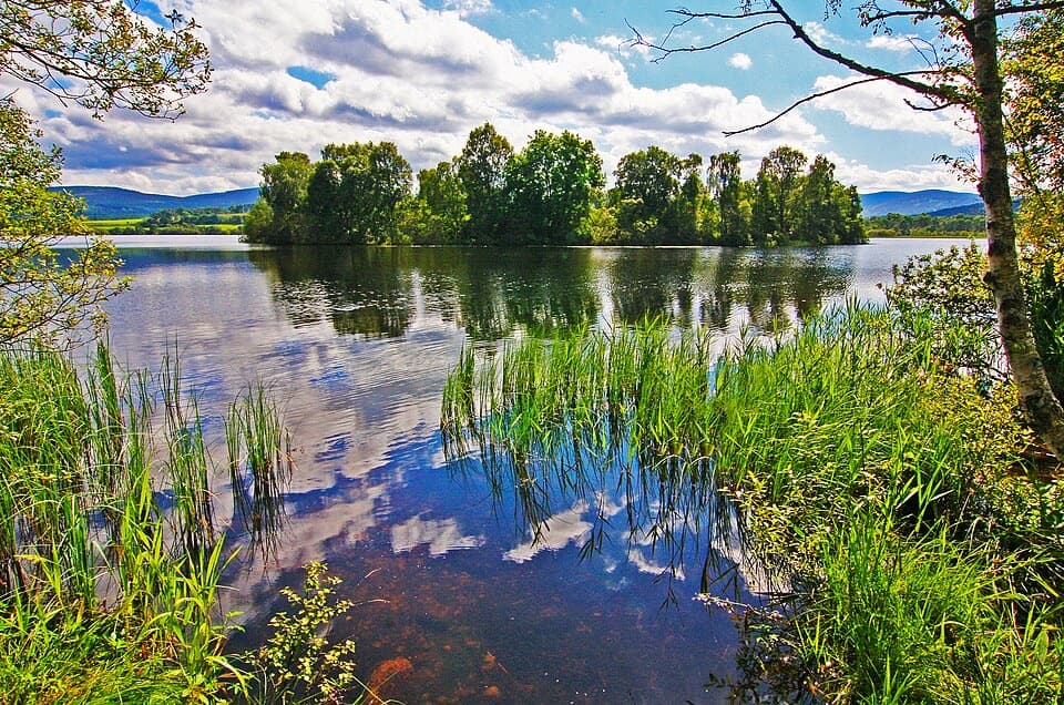 Sight · 8.1 km awayLoch KinordA lochside circuit links wooded islands and Pictish carving.
 Sight · 8.9 km awayGairnshiel BridgeA humpback stone arch beside the modern A939 crossing.
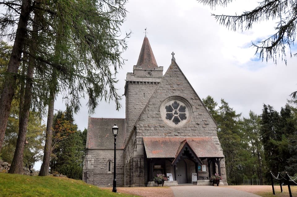 Sight · 10.4 km awayCrathie KirkA royal parish church above the Dee, near Balmoral.
Parkwolf’s Cairngorms ranking

The audio tour guide for the drive, plus offline maps, trails, and wildlife heatmaps for when the signal drops.





