Parking
Use the village centre car park beside the Linn of Dee road. The route starts at Mar Road in Auchendryne, a short walk away; follow the pedestrian ramp to the A93 and take the lane just left of the church.
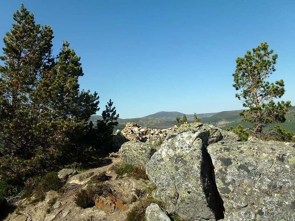
Cairngorms National Park, SC
A short climb from Braemar for a wide Dee valley view.
Overview
Map & elevation
Plan your hike

The highest, rockiest slopes around here are a summer buffet for grizzly bears.
Cairngorms Tour Guide
Parkwolf is a GPS audio tour guide for Cairngorms National Park. As you drive, it chimes in with what’s ahead: hidden gems, upcoming stops, history, geology, and wildlife, right through your car’s speakers.
See the Cairngorms audio tourRecorded for this trailhead
Braemar, the Flying Stag and Kindrochit“You're nearing the centre of Braemar, a good place to combine a meal with a short wander. The Flying Stag, the public pub at the Fife Arms hotel, serves Scottish favourites such as fish and chips and pies.”
Plays as you drive up to this trailhead in the Parkwolf Cairngorms Tour Guide.
More stories near here in the app
“Fantastic app with many points of information… It’s great to just turn on while you’re driving and it gives you an audio tour of the national Park. We love it!!!!”


Trail guide
Creag Choinnich is a short, steep out-and-back from Braemar to a 538 m summit cairn. Allow around two hours. The mapped climb is about 1.5 km each way, so budget close to 3 km (1.9 miles) return; shorter 2.5–2.7 km figures appear for this walk, but they do not match the current mapped line. With roughly 200 m of climbing, it is a proper hill walk packed into half a day, not a flat village stroll.
From the village centre, cross the A93 by the pedestrian ramp and take the lane just left of the church. After about 300 m, where the lane bends right, continue straight through the large gate into pine woodland. At the fingerpost, take the left branch for Creag Choinnich; straight ahead leads toward the separate Lion’s Face route. The path climbs steeply past a bench. When the Cromlins path joins from the left, keep straight uphill. The woods thin and open a view back over Braemar.
The upper path turns rocky. An outcrop on the right can look like the top, but the main path passes it and continues to the true summit cairn. From there the Dee valley opens toward Balmoral, with Lochnagar to the right and Invercauld Castle to the left; northward, look for Beinn a’ Bhùird and the sharp granite tors on Ben Avon. For a useful summit photo, keep the cairn or foreground rock in the frame so the wide valley has scale.
Creag Choinnich is glossed as “mossy hill.” The Braemar community paths follow in the footsteps of competitors in the village’s annual hill race, and Creag Choinnich is the lower, easier hill route in that local mix. The summit’s rounded, wooded approach makes the open view feel bigger when you reach it.
Start at Mar Road in Auchendryne, a short walk from Braemar’s village centre car park beside the Linn of Dee road. Retrace the same path to return; the Lion’s Face and Cromlins circuit is a separate extension, not part of this route distance. Dogs may accompany walkers under Scotland’s outdoor access rules, provided they are kept under proper control. Expect steps, narrow rough stretches and rocky footing near the top.
Wildlife
 159 sightingsRed DeerMost seen around 7 AMSighting map
 63 sightingsReindeerMost seen around 6 PMSighting map
 102 sightingsOspreyMost seen around 5 PMSighting map
 37 sightingsBlack GrouseMost seen around 4 AMSighting map
 72 sightingsRed GrouseMost seen around 6 PMSighting map
 82 sightingsPine MartenMost seen around 9 PMSighting map
Sighting maps show where each species has been reported across Cairngorms. Wildlife moves, so no sighting is guaranteed.
Keep exploring
 ChallengingMorrone Trail12.1 km · 5 hr · At the trailheadA full hill circuit with a steep climb and riverside return.
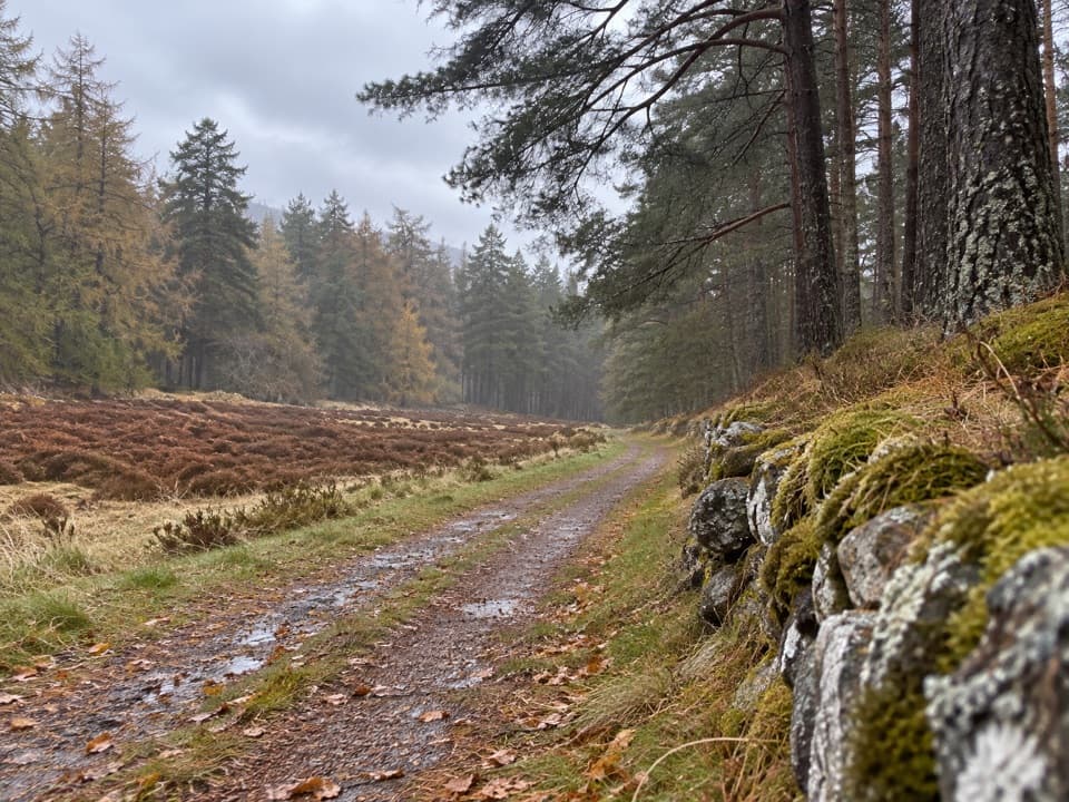 EasyQueen’s Drive, Braemar4.4 km · 1.5 hr · 0.1 km awayRiver crossings and birchwood views on Queen Victoria’s Braemar drive.
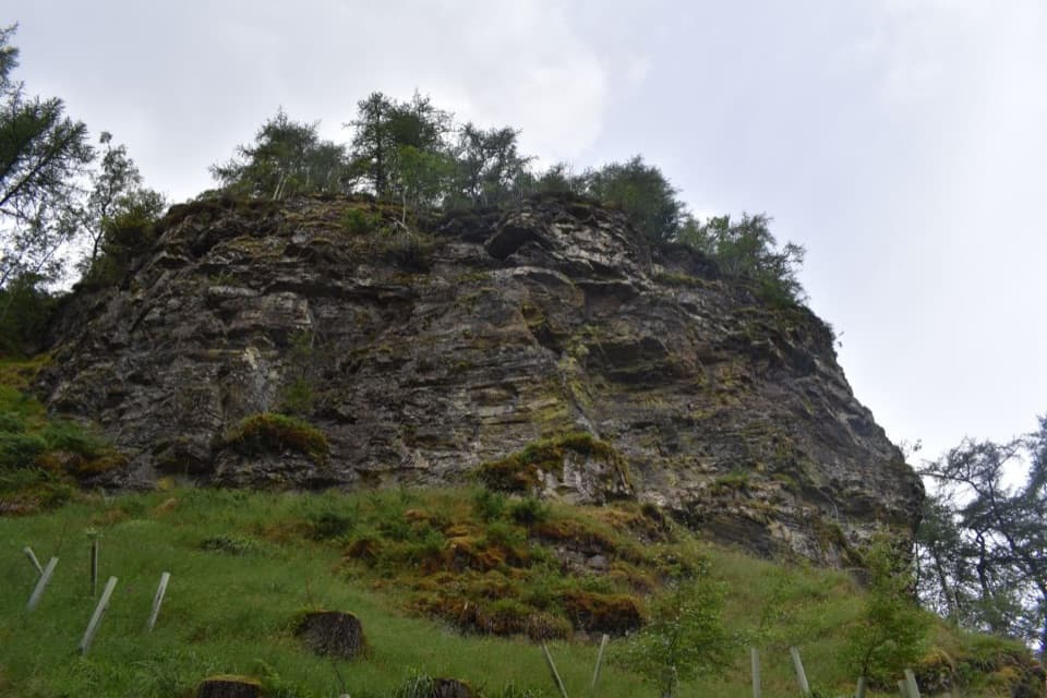 ModerateLion’s Face and the Cromlins6.4 km · 2.5 hr · 0.1 km awayPine woods, the Lion’s Face, and two Braemar viewpoints.
 EasyRiver Dee Walk, Braemar4.8 km · 2 hr · 0.3 km awayA Braemar loop to the Dee–Clunie confluence and a strath viewpoint
 ModerateMorrone Birkwood Trail4.4 km · 2 hr · 0.8 km awayA birchwood loop with juniper slopes and wide Dee valley views.
 ChallengingThe Tolmounth (Jock’s Road)20.4 km · 8 hr · 3.2 km awayA high, exposed pass with a drove-road story.
 ModerateLoch Callater Trail11.7 km · 3.3 hr · 3.2 km awayA river-side track leads to a high loch and Tolmount views.
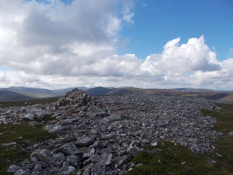 ChallengingCreag nan Gabhar Circuit14.5 km · 5.5 hr · 3.2 km awayA 9-mile ridge loop with a boggy, pathless return.
 Lodging · At the trailheadThe Fife ArmsStop for a pub meal inside Braemar’s Victorian landmark hotel.
 Sight · At the trailheadKindrochit CastleA small Braemar ruin with a royal story worth a short stop.
 Store · 0.1 km awayBraemar Chocolate ShopScottish-inspired handmade chocolates in a Braemar village shop.
 Visitor center · 0.3 km awayThe Duke of Rothesay Highland Games PavilionMeet the Gathering’s story beside the field where it unfolds.
 Campground · 0.5 km awayBraemar Caravan Park & Camping PodsA practical base near Braemar village and Invercauld Estate walks.
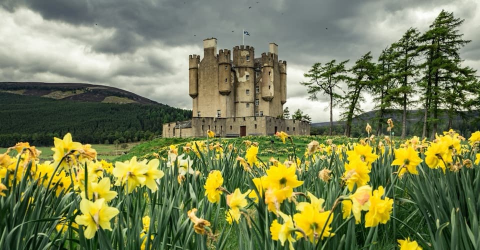 Sight · 1.1 km awayBraemar CastleA lively 1628 castle tour with a garden and a thatched folly.
 Sight · 3.6 km awayLinn of QuoichFollow Quoich Water to its granite Punchbowl and restored cottage.
 Sight · 9 km awayLinn of DeeA Victorian granite bridge over a river squeezed through stone.
Parkwolf’s Cairngorms ranking

The audio tour guide for the drive, plus offline maps, trails, and wildlife heatmaps for when the signal drops.





