Parking
Use the village car park just off the A93; toilets are noted there. If it is full, a second village car park over the bridge opposite the Fife Arms is the suggested alternative.
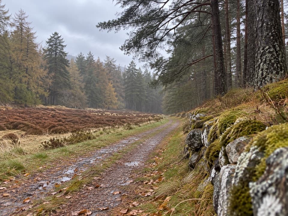
Cairngorms National Park, SC
River crossings and birchwood views on Queen Victoria’s Braemar drive.
Overview
Map & elevation
Plan your hike

The highest, rockiest slopes around here are a summer buffet for grizzly bears.
Cairngorms Tour Guide
Parkwolf is a GPS audio tour guide for Cairngorms National Park. As you drive, it chimes in with what’s ahead: hidden gems, upcoming stops, history, geology, and wildlife, right through your car’s speakers.
See the Cairngorms audio tourRecorded for this trailhead
Braemar, the Flying Stag and Kindrochit“You're nearing the centre of Braemar, a good place to combine a meal with a short wander. The Flying Stag, the public pub at the Fife Arms hotel, serves Scottish favourites such as fish and chips and pies.”
Plays as you drive up to this trailhead in the Parkwolf Cairngorms Tour Guide.
More stories near here in the app
“Fantastic app with many points of information… It’s great to just turn on while you’re driving and it gives you an audio tour of the national Park. We love it!!!!”


Trail guide
Queen’s Drive is a 2.75-mile loop from Braemar that follows the River Clunie before climbing gently through birchwood along Queen Victoria’s former carriage drive and descending through the woods back to the village. Allow about 1½ hours; the published ascent is 86 m. Most of the walk is on a narrow, generally smooth earth path with short moderate slopes, though some parts are uneven and can be muddy after rain.
From the village car park just off the A93, walk back toward the village street and cross the bridge over the Clunie, where a low waterfall runs beneath it. Turn left on the minor road toward the golf course. A preserved aircraft engine beside this approach commemorates servicemen lost in a 1945 crash. At the Queen’s Drive sign, cross the Clunie on a footbridge, then take a second bridge over a tributary. The grassy path follows the fence beside the river, looking across toward Morrone Birkwood.
After a gate, the path climbs away from the water and overlooks the golf course before reaching the A93. Cross carefully and take the path on the far side to the right, away from Braemar; the left-hand way returns directly to the village. Beyond a gate the path widens into the old carriage drive and rises gently through scattered birchwood, with views opening back over Braemar and the surrounding hills.
At the green Village Centre sign, the low piles of stone on the left are all that remain of Dubh Chlais cottage, whose name means “black hollow.” The cottage was home to relatives of John Brown, and Queen Victoria is said to have visited with him, bringing tea and tobacco. Turn left at the sign to stay on this circuit; continuing straight leads onto the separate Lion’s Face walk. The return descends more steeply through woodland beside a wall. Keep left at the bench and continue straight at later forks, passing a wigwam wildlife hide before a gate leads back into the village and past the church.
Expect a short road section at the start and one crossing of the A93; uneven sections may be slick or muddy after rain. The village car park has toilets, and another car park over the bridge opposite the Fife Arms is the suggested fallback if it is full. Dogs are welcome under the park’s guidance: keep them close or on a short lead, and leash where signs request. The bridge and low waterfall make a good stop early in the loop; the birchwood climb gives the broadest views back toward Braemar.
Wildlife
 159 sightingsRed DeerMost seen around 7 AMSighting map
 63 sightingsReindeerMost seen around 6 PMSighting map
 102 sightingsOspreyMost seen around 5 PMSighting map
 37 sightingsBlack GrouseMost seen around 4 AMSighting map
 72 sightingsRed GrouseMost seen around 6 PMSighting map
 82 sightingsPine MartenMost seen around 9 PMSighting map
Sighting maps show where each species has been reported across Cairngorms. Wildlife moves, so no sighting is guaranteed.
Keep exploring
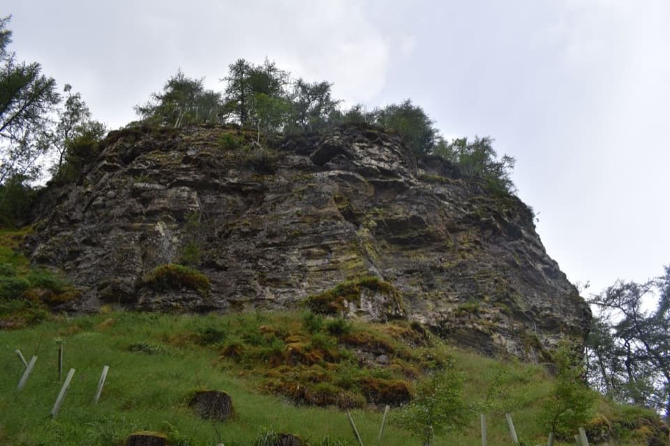 ModerateLion’s Face and the Cromlins6.4 km · 2.5 hr · At the trailheadPine woods, the Lion’s Face, and two Braemar viewpoints.
 ChallengingMorrone Trail12.1 km · 5 hr · 0.1 km awayA full hill circuit with a steep climb and riverside return.
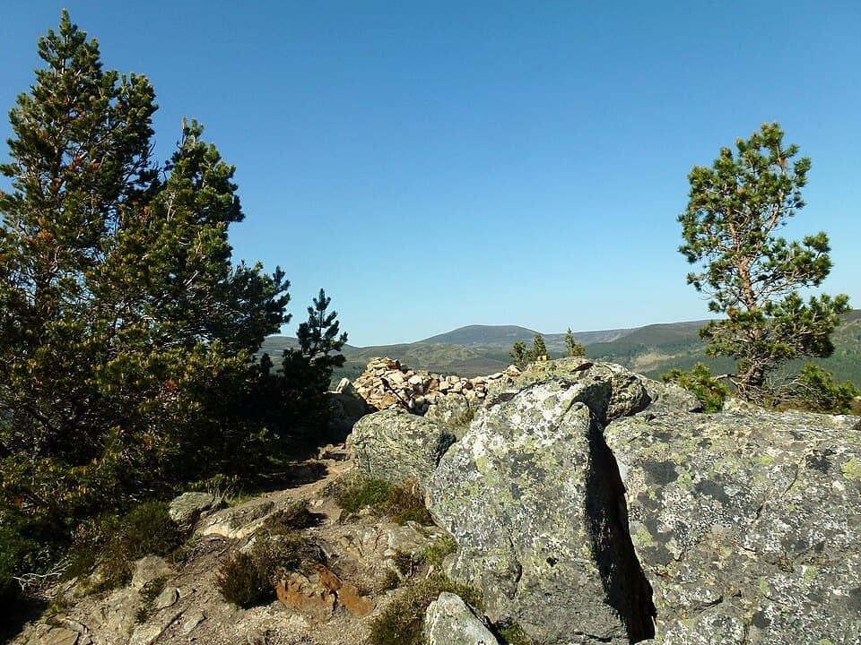 ModerateCreag Choinnich Trail3 km · 2 hr · 0.1 km awayA short climb from Braemar for a wide Dee valley view.
 EasyRiver Dee Walk, Braemar4.8 km · 2 hr · 0.2 km awayA Braemar loop to the Dee–Clunie confluence and a strath viewpoint
 ModerateMorrone Birkwood Trail4.4 km · 2 hr · 0.9 km awayA birchwood loop with juniper slopes and wide Dee valley views.
 ChallengingThe Tolmounth (Jock’s Road)20.4 km · 8 hr · 3.2 km awayA high, exposed pass with a drove-road story.
 ModerateLoch Callater Trail11.7 km · 3.3 hr · 3.2 km awayA river-side track leads to a high loch and Tolmount views.
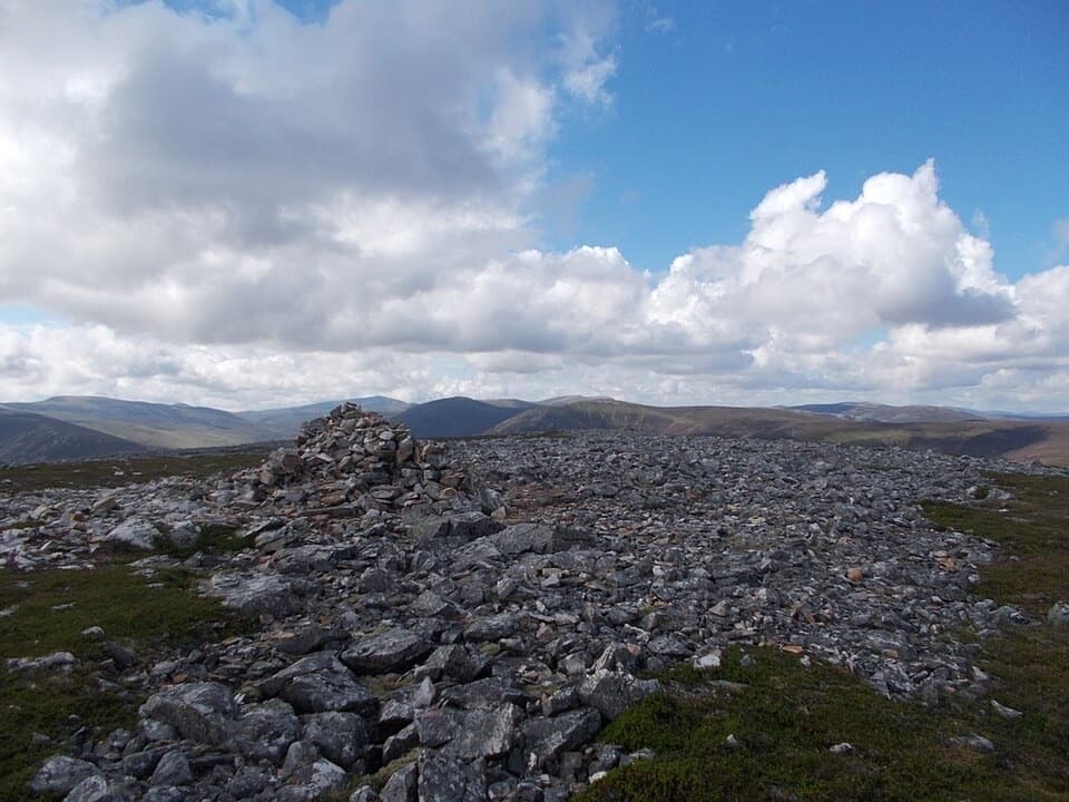 ChallengingCreag nan Gabhar Circuit14.5 km · 5.5 hr · 3.2 km awayA 9-mile ridge loop with a boggy, pathless return.
 Sight · At the trailheadKindrochit CastleA small Braemar ruin with a royal story worth a short stop.
 Lodging · 0.1 km awayThe Fife ArmsStop for a pub meal inside Braemar’s Victorian landmark hotel.
 Store · 0.1 km awayBraemar Chocolate ShopScottish-inspired handmade chocolates in a Braemar village shop.
 Visitor center · 0.4 km awayThe Duke of Rothesay Highland Games PavilionMeet the Gathering’s story beside the field where it unfolds.
 Campground · 0.5 km awayBraemar Caravan Park & Camping PodsA practical base near Braemar village and Invercauld Estate walks.
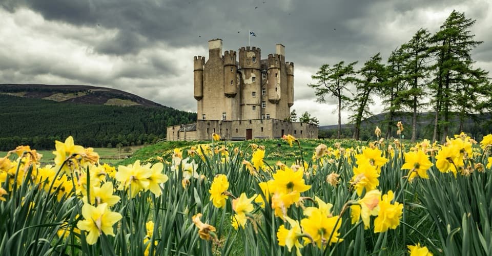 Sight · 1.1 km awayBraemar CastleA lively 1628 castle tour with a garden and a thatched folly.
 Sight · 3.7 km awayLinn of QuoichFollow Quoich Water to its granite Punchbowl and restored cottage.
 Sight · 9.1 km awayLinn of DeeA Victorian granite bridge over a river squeezed through stone.
Parkwolf’s Cairngorms ranking

The audio tour guide for the drive, plus offline maps, trails, and wildlife heatmaps for when the signal drops.





