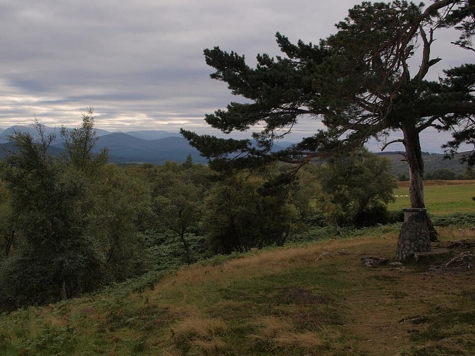
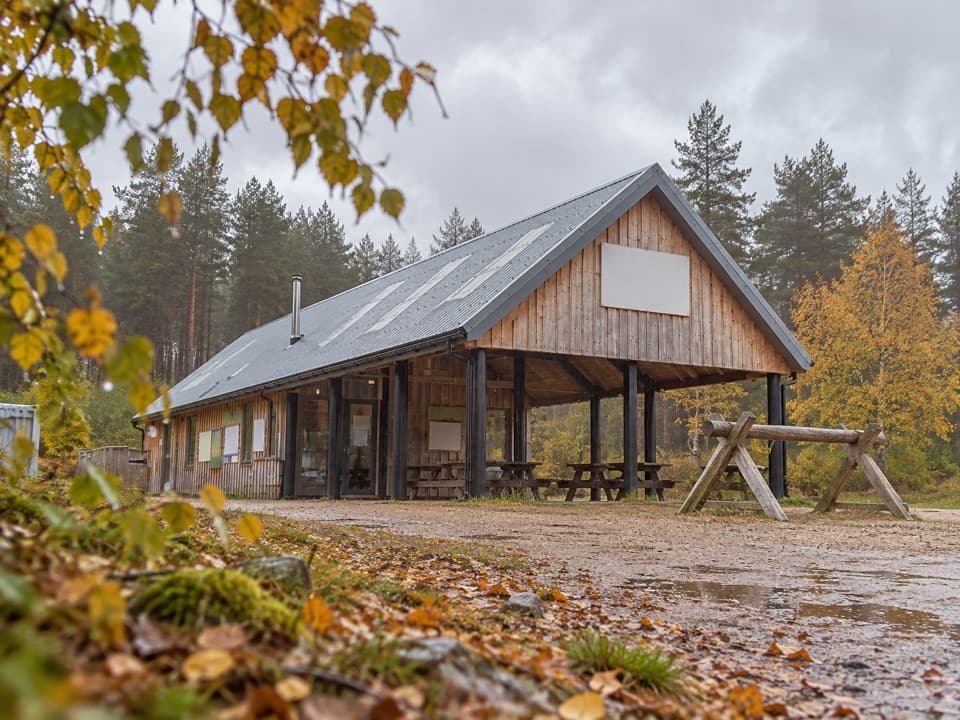
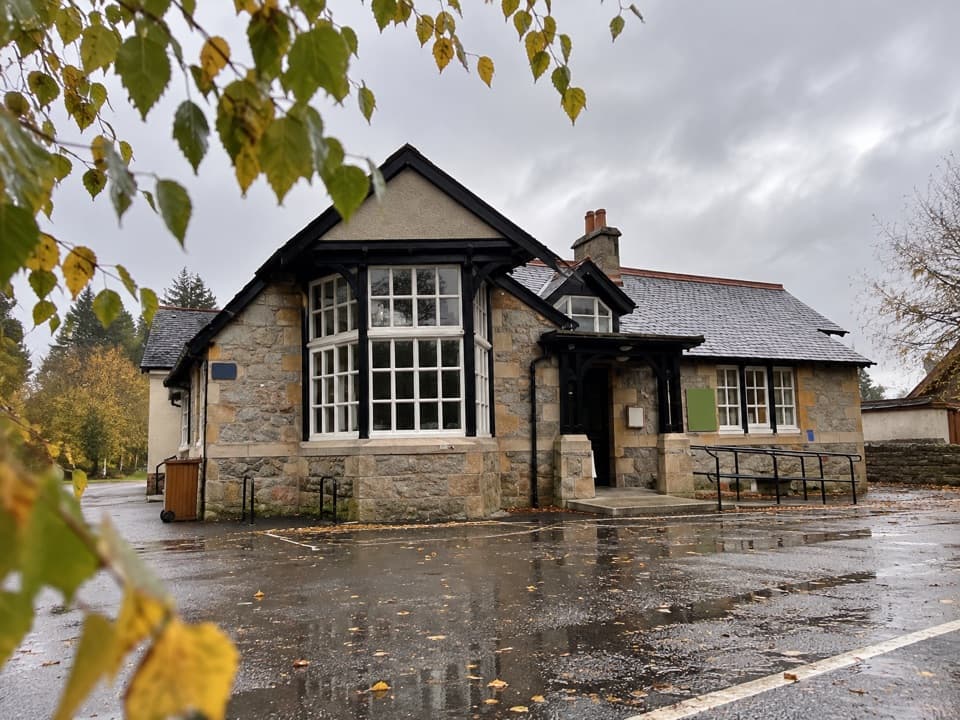
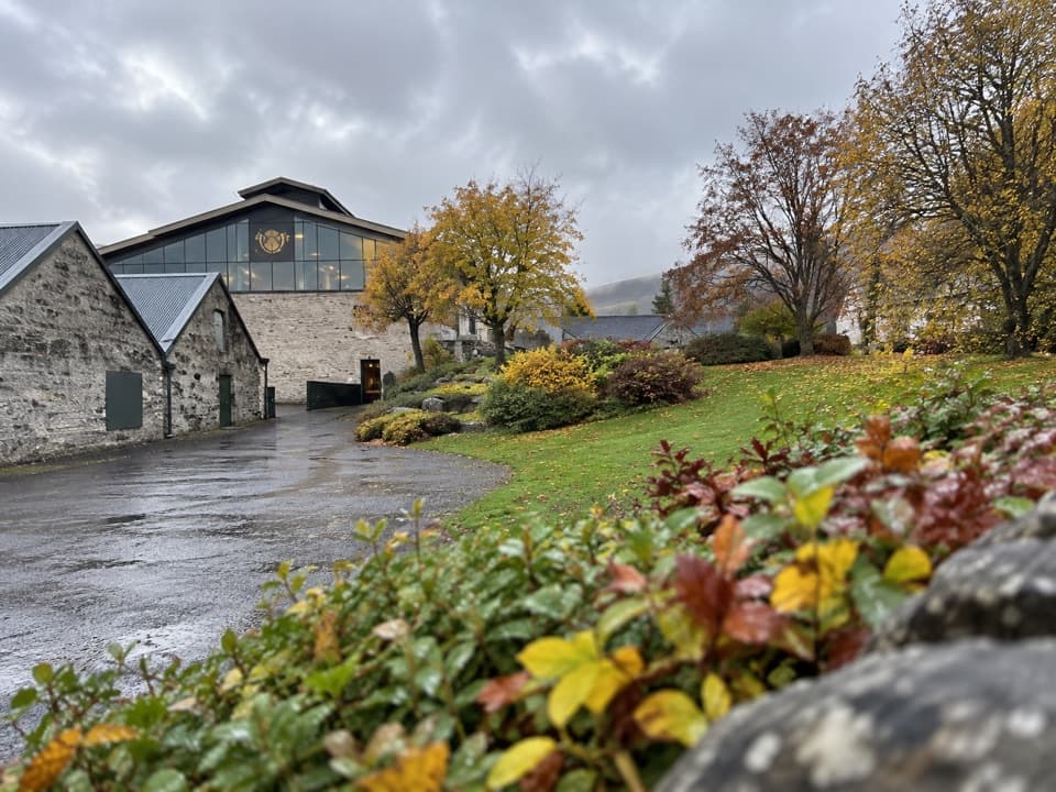
Creagan a’ Chaise, Cromdale Hills in Cairngorms National Park

Cairngorms National Park, SC

Creagan a’ Chaise, Cromdale Hills

A 10-mile moorland walk to two cairns above Speyside.

Photo: Wikimedia Commons
Length
16.1km
Time
4.5hr
Elev. change
520m
Difficulty
Challenging
  • Dogs allowed
  • High point 709 m

Hear the audio tour

Cromdale and Creagan a’ Chaise

Overview

About Creagan a’ Chaise, Cromdale Hills

Why go

  • Two historic cairns and a hilltop trig point
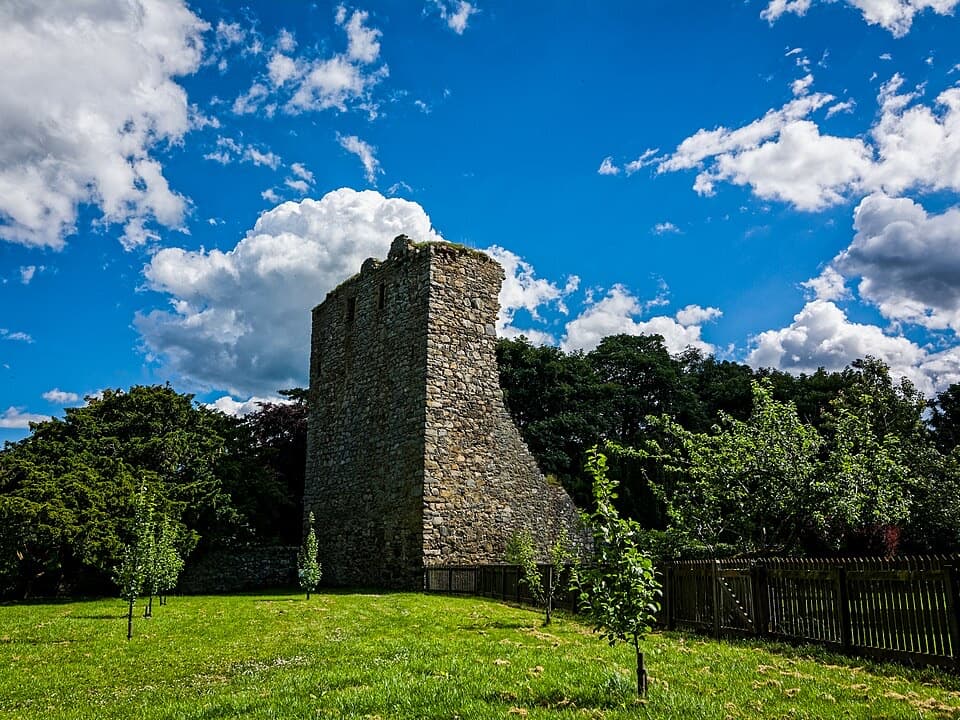
  • Lethendry Castle and Piper’s Stone add character to the approach
  • Wide views over Speyside and the Cairngorms

Heads up

  • Long road and rough-track approach before the ridge
  • Boggy, faint path across the open ridge
Creagan a’ Chaise is a 10-mile out-and-back from Cromdale Park to the summit Jubilee Cairn, via Lethendry Castle, Piper’s Stone and the tall Coronation Cairn. Expect about 595 m of ascent and four to five hours on road, rough track and boggy, sometimes pathless moor. It’s a worthwhile half-day if you want a quieter hill walk with historic stops; the ridge is broad, but the faint tread makes this a real hill route rather than an easy stroll.
Parkwolf’s verdictIs this the hike for you?

Map & elevation

The route

Loading the Cairngorms map
Full map
Elevation189–709 m
TrailheadCromdale Park parking area57.33890, -3.53790
Keep this map with you offline in the Parkwolf app

Plan your hike

Before you go

Parking

Start at the Cromdale Park parking area on the west side of the A95, beside the recycling bins. The walk crosses the A95 and follows it toward Haughs Hotel before turning onto The Haughs. There is no parking at the signed Lethendry Castle track entrance.

Safety

Crossing and walking beside the A95; rough, eroded track and boggy, faintly trodden ridge with difficult navigation in poor visibility. Keep dogs close around livestock and ground-nesting birds and out of fields with young animals.

3 active Cairngorms alerts

  • CautionStorm Boelo high windsStorm Boelo will bring extremely windy weather to the Cairngorms; take extra care and limit time outdoors. - The Park Authority expects the very windy weather to last until Monday 26 October.Official details
  • ClosureGlenmore wildfire closures and dangerous treesWildfire damage has closed Allt Mor car park and the path to Sugarbowl/Utsi’s Bridge; keep out of the closed area.Official details
See all 3 alerts
A park ranger sits on a dash-mounted phone, talking, as Parkwolf’s Tour Guide plays “Army Cutworm Moths: A Grizzly Bear Buffet” on Grand Loop Road below Dunraven Pass in Yellowstone
Parkwolf Tour GuideThe highest, rockiest slopes around here are a summer buffet for grizzly bears.

Cairngorms Tour Guide

Your drive to Creagan a’ Chaise, Cromdale Hills, narrated.

Parkwolf is a GPS audio tour guide for Cairngorms National Park. As you drive, it chimes in with what’s ahead: hidden gems, upcoming stops, history, geology, and wildlife, right through your car’s speakers.

See the Cairngorms audio tour

Recorded for this trailhead

Cromdale and Creagan a’ Chaise
0:00 / 0:28
“Cromdale is coming up, the village start for Creagan a' Chaise in the Cromdale Hills.”

Plays as you drive up to this trailhead in the Parkwolf Cairngorms Tour Guide.

More stories near here in the app

  • The Snap in a Strathspey
  • The Flowers Inside a Dandelion
  • Where Whisky Gets Its Smoke
  • The Tiny Flowers Beside the Catkins
  • 298 audio storiesacross Cairngorms’s roads, triggered by GPS as you drive
  • Wildlife heatmapsfor Red Deer, Reindeer, Osprey, and 13 more
  • Works offlinemaps, 260 trails, 90 places, and audio download before you lose signal
  • CarPlay readysimple controls built for the drive
★★★★★
“Fantastic app with many points of information… It’s great to just turn on while you’re driving and it gives you an audio tour of the national Park. We love it!!!!”
JMJamesApp Store review
Download Parkwolf on the App StoreGet Parkwolf on Google Play

4.7 from 8,600+ ratings

Trail guide

Hiking Creagan a’ Chaise, Cromdale Hills

From Cromdale to the castleStart at Cromdale Park, cross the A95 and walk along it to Haughs Hotel, then turn up The…

Start at Cromdale Park, cross the A95 and walk along it to Haughs Hotel, then turn up The Haughs. The tarmac passes houses, a plantation, birchwoods and meadows. After just over a kilometre, turn onto the signed track for Lethendry Castle and Piper’s Stone. At the first junction, take the short farmyard spur to the castle, then return to the junction before climbing. The ruins were a scene of fighting in the Battle of Cromdale in 1690. There’s no parking at the signed track entrance, so begin at the village car park.

Climb to Piper’s StoneThe track passes through Lethendry farmyard and follows the Scots pine plantation.

The track passes through Lethendry farmyard and follows the Scots pine plantation. It steepens beside Claggersnich Wood and gets rough and eroded; above the felled forest, a wet path branches right near the track’s high point. Piper’s Stone sits just below it beside two Scots pines. Local legend says a wounded Jacobite piper named Hamish played from this boulder during the battle. From here, a rough path past grouse butts climbs to the ridge.

The cairns and the open ridgeThe tall Coronation Cairn has wide views over Speyside, with Grantown among its surrounding…

The tall Coronation Cairn has wide views over Speyside, with Grantown among its surrounding woods. It marks Edward VII’s 1902 coronation and the bonfire lit on the hill. From the cairn, the summit route heads southwest across a dip, just to the right of the fence. The path becomes very faint over sodden ground; the broad ridge then curves south to the heavier Jubilee Cairn and trig point after a short, steep rise. The Jubilee Cairn marks Queen Victoria’s Golden Jubilee. On a clear day, the Cairngorms are visible from the summit. Return to the Coronation Cairn and retrace the tracks to Cromdale.

Effort and accessThe hardest part is keeping to the faint ridge line over wet ground, especially in poor…

The hardest part is keeping to the faint ridge line over wet ground, especially in poor visibility. The walk also includes an A95 crossing and roadside stretch. It passes farmyards and open ground; a single land manager and current local access notices could not be confirmed, so check and follow signs at gates and buildings. Keep dogs under close control, on a short lead around livestock and ground-nesting birds, and out of fields with young animals.

Winter wildlife and the viewSome of the Cairngorm reindeer herd’s males roam the Cromdale Hills in winter, so keep an eye…

Some of the Cairngorm reindeer herd’s males roam the Cromdale Hills in winter, so keep an eye out from the ridge and give them space. From the Coronation Cairn, frame Grantown and the wooded Speyside valley below; including the cairn gives the view a useful foreground.

Wildlife

Wildlife in Cairngorms

All Cairngorms wildlife maps

Sighting maps show where each species has been reported across Cairngorms. Wildlife moves, so no sighting is guaranteed.

Keep exploring

Near Creagan a’ Chaise, Cromdale Hills

See it all on the map

Trails that start nearby

Places near the trailhead

Parkwolf’s Cairngorms ranking

Top-rated trails in Cairngorms

All 260 trails
  1. 1Loch an Eilein CircuitEasy · 5 km
  2. 2Lairig GhruChallenging · 30.6 km
  3. 3Ben Macdui and Cairn Gorm CircuitChallenging · 19.8 km
  4. 4Loch Morlich TrailModerate · 5.6 km
  5. 5Meall a’ Bhuachaille CircuitChallenging · 8 km
  6. 6Loch Muick CircuitModerate · 12.5 km

Take Parkwolf to Cairngorms.

The audio tour guide for the drive, plus offline maps, trails, and wildlife heatmaps for when the signal drops.

4.7 from 8,600+ ratings

Download Parkwolf on the App StoreGet Parkwolf on Google Play