Parking
One-way route from Dalnacardoch Lodge on the A9 to Tromie Bridge. No dedicated lots were confirmed; arrange a drop-off at the start and collection at the finish.

Cairngorms National Park, SC
A remote old drove road, with lochs, bog and three fords.
Overview
Map & elevation
Plan your hike

The highest, rockiest slopes around here are a summer buffet for grizzly bears.
Cairngorms Tour Guide
Parkwolf is a GPS audio tour guide for Cairngorms National Park. As you drive, it chimes in with what’s ahead: hidden gems, upcoming stops, history, geology, and wildlife, right through your car’s speakers.
See the Cairngorms audio tourRecorded for this trailhead
Dalnacardoch and Gaick Pass“Dalnacardoch is coming up, the southern access for Gaick Pass. This old drove road links remote glens and lochs on a twenty-one-mile, roughly nine-hour walk to Tromie Bridge.”
Plays as you drive up to this trailhead in the Parkwolf Cairngorms Tour Guide.
More stories near here in the app
“Fantastic app with many points of information… It’s great to just turn on while you’re driving and it gives you an audio tour of the national Park. We love it!!!!”


Trail guide
Gaick Pass is a 21.4-mile one-way crossing from Dalnacardoch Lodge on the A9 to Tromie Bridge in Glen Tromie. It traces an old drove road through Glen Edendon, skirts Loch an Dùin and Loch Bhrodainn, crosses the central pass by Gaick Lodge, then turns down the River Tromie. Allow around nine hours of walking; the length makes this a full-day undertaking even though the route has little steep climbing. Tromie Bridge is the finish for this trail. Continuing toward Kingussie adds another section and extra miles, while the nearby Gaick Corbetts Circuit is a different outing.
Arrange a finish pickup before you start: this is a through-walk, not a circuit. The southern access is beside Dalnacardoch Lodge on the A9, and the route crosses the busy dual carriageway. No dedicated parking or services were confirmed at either end, so plan the transfer rather than relying on a trailhead lot. No food or water stop was verified along the route. Dogs are allowed under Scotland’s access rules; keep them close on moorland and near livestock, especially during the bird-breeding season.
A good track runs north for about 9 km through a plantation, past a radio mast and alongside Edendon Water to Sronphadruig Lodge. From the lodge, the route changes character: a faint path crosses boggy moorland, then rejoins a clearer track along the west shore of Loch an Dùin. The loch lies below An Dùn’s steep slopes, which rise about 300 m from water to summit. At the north end, cross Allt Loch an Dùin either at the wider, slower outflow or at the narrower, faster track ford. Choose only a crossing that is safe at the current water level.
Beyond the loch, Domingo’s Road heads northeast through the pass. The track becomes rough near Loch Bhrodainn, followed by substantial fords near the loch and at Allt Gharbh Ghaig. Both can be difficult in wet conditions, so don’t treat a recent dry crossing as a promise about the next one. The route passes remote Gaick Lodge by Loch an t-Seilich; snow can cut off the lodge in winter, when avalanche danger also matters.
The pass is an old drove road, and the alignment appears on an early six-inch map of the area. Near the lodge, a memorial marks five members of a hunting party who died when an avalanche buried their bothy in January 1800. It gives the quiet central section a stark bit of history; leave a few minutes to find and read it.
Past Loch an t-Seilich, reach Allt Bhran bridge, where the route joins the Minigaig, then follow a track east of the River Tromie past Lynaberack Lodge to Tromie Bridge. The sampled elevation profile rises from about 330 m near Dalnacardoch to roughly 520 m on the route, then drops to around 250 m at the finish. At the north end of Loch an t-Seilich, look back into the Gaick: the loch and track make a strong foreground for the hills. The journey is about steady mileage, boggy ground and water crossings, not a summit scramble.
Wildlife
 159 sightingsRed DeerMost seen around 7 AMSighting map
 63 sightingsReindeerMost seen around 6 PMSighting map
 102 sightingsOspreyMost seen around 5 PMSighting map
 37 sightingsBlack GrouseMost seen around 4 AMSighting map
 72 sightingsRed GrouseMost seen around 6 PMSighting map
 82 sightingsPine MartenMost seen around 9 PMSighting map
Sighting maps show where each species has been reported across Cairngorms. Wildlife moves, so no sighting is guaranteed.
Keep exploring
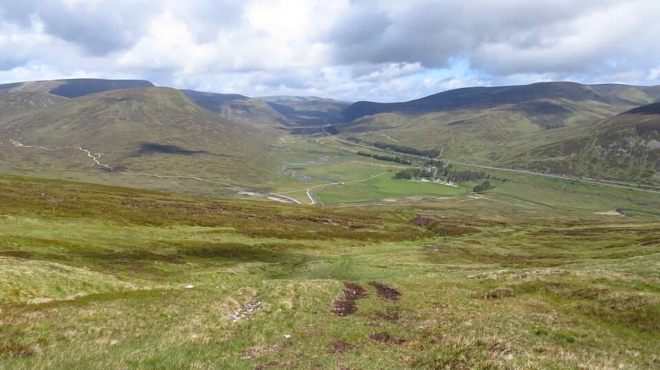 ModerateMeall na Leitreach from Dalnaspidal8.1 km · 3 hr · 8.3 km awayA rough hill track to a broad summit above Drumochter Pass
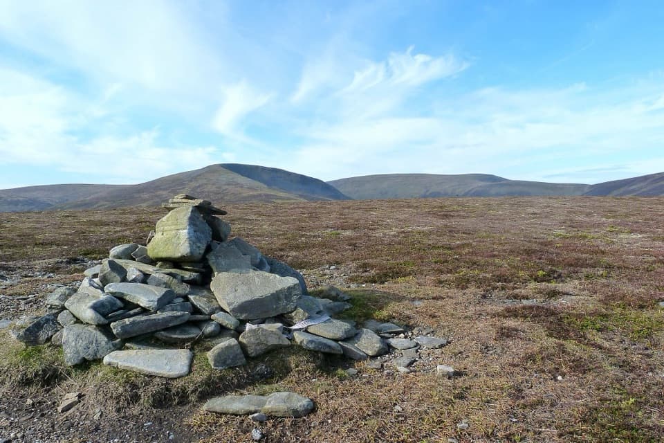 ModerateSow of Atholl from Dalnaspidal6.8 km · 2.8 hr · 8.3 km awayA rough climb to a broad view over Drumochter Pass.
 ModerateStruan Kirk Walk2.4 km · 1 hr · 9.1 km awayA short circuit to a remote kirk above the River Garry gorge.
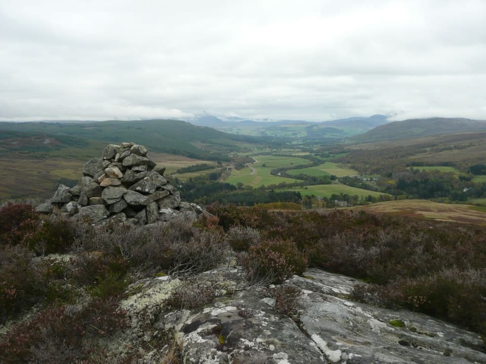 ChallengingStruan Point Walk4 km · 1.8 hr · 9.4 km awayA short, steep moorland climb to views over Strathgarry.
 ModerateFalls of Bruar Trail2.4 km · 1.5 hr · 10.7 km awayA short gorge loop links waterfalls, stone bridges, and a Burns story.
 ChallengingA’ Mharconaich and Geal Chàrn Circuit11.6 km · 5.5 hr · 13 km awayTwo Munros, a high saddle, and a Loch Ericht view
 ChallengingCàrn na Caim and A’ Bhuidheanach Bheag19 km · 6 hr · 14.3 km awayTwo Munros, fence posts, boggy dips and miles of open plateau.
 ChallengingScottish National Trail: Blair Atholl to Kingussie71.2 km · 19.5 hr · 15.6 km awayThree remote days link river fords, a bothy, and the Insh Marshes.Sight · 10.3 km awayFalls of BruarA wooded gorge walk with cascades, old bridges and a rock arch
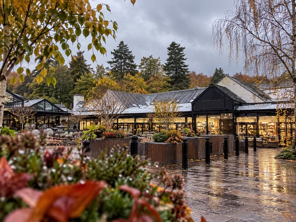 Store · 10.7 km awayHouse of BruarA country-store and food stop beside the Falls of Bruar.
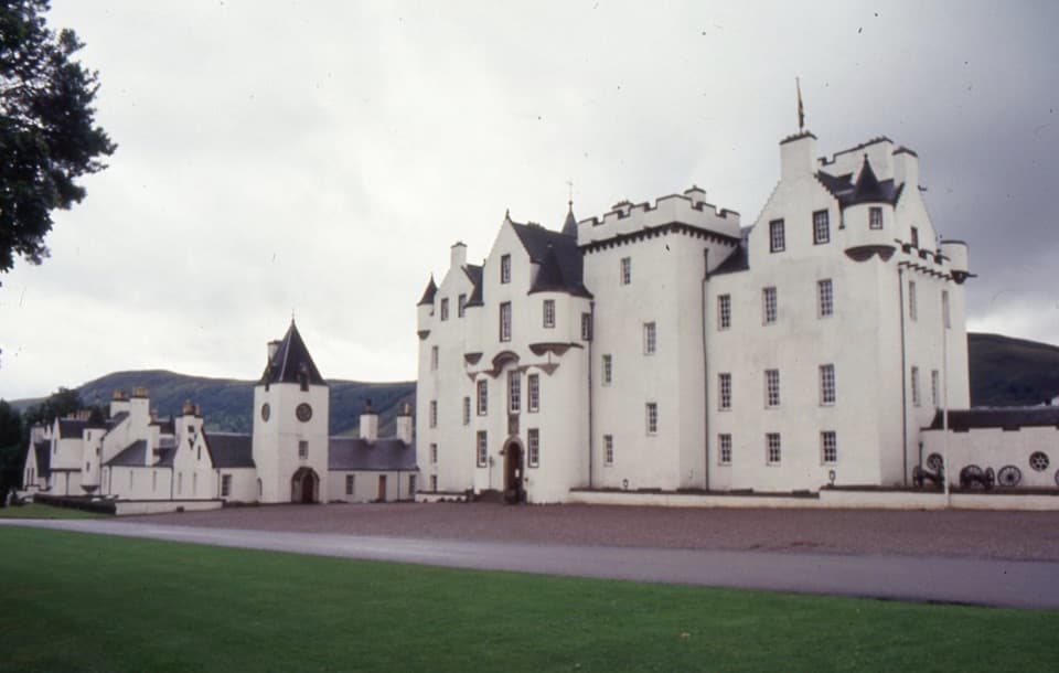 Sight · 14.8 km awayBlair Castle & GardensFurnished rooms, formal gardens and 750 years of castle history
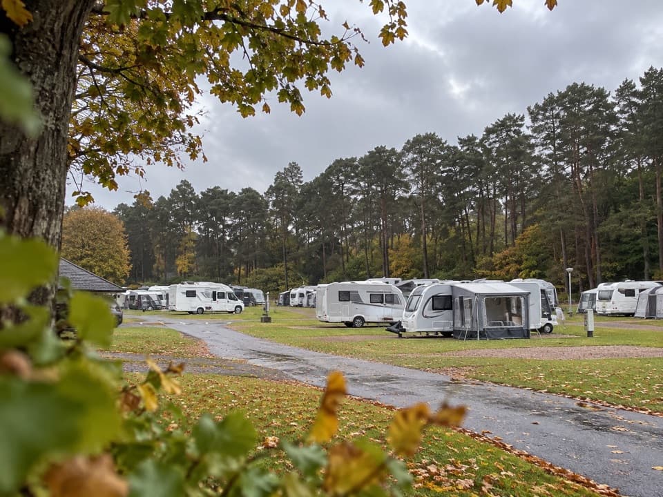 Campground · 15.8 km awayBlair Castle Caravan ParkA practical base for castle gardens and woodland walks
 Sight · 15.9 km awayAtholl Country Life MuseumSee the moved post office and a doctor’s winter-call sleigh.
 Visitor center · 15.9 km awayBlair Atholl Information CentreA quick orientation stop, with local history and family activities.
Parkwolf’s Cairngorms ranking

The audio tour guide for the drive, plus offline maps, trails, and wildlife heatmaps for when the signal drops.





