Parking
The route starts at the end of the unclassified road to Camerory and finishes at the A939. No dedicated trail parking is identified at either end; arrange a drop-off and pickup or another return plan.
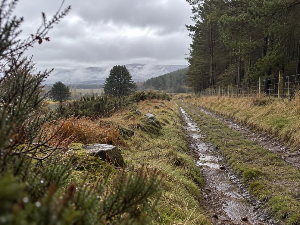
Cairngorms National Park, SC
A short crossing on an 18th-century military road.
Overview
Map & elevation
Plan your hike

The highest, rockiest slopes around here are a summer buffet for grizzly bears.
Cairngorms Tour Guide
Parkwolf is a GPS audio tour guide for Cairngorms National Park. As you drive, it chimes in with what’s ahead: hidden gems, upcoming stops, history, geology, and wildlife, right through your car’s speakers.
See the Cairngorms audio tourRecorded for this area
The Hollows Beside the Old Road“If you walk the old military road at Camerory, look beyond the track itself. Traces of banks and outer ditches still flank the route, with small hollows where builders quarried stone for its construction.”
Plays near this trailhead in the Parkwolf Cairngorms Tour Guide.
More stories near here in the app
“Fantastic app with many points of information… It’s great to just turn on while you’re driving and it gives you an audio tour of the national Park. We love it!!!!”


Trail guide
Grantown-on-Spey Military Road is a 4.4 km (2.7 mi) one-way walk from the end of the unclassified road to Camerory to the A939. The grassy old road climbs to the wood edge, fades across open moor toward Anaboard, then firms into track again by Loch Mhic Leoid. Come for a short crossing with clear traces of an 18th-century route, not a manicured path. Allow about 1½–2 hours and arrange a drop-off and pickup; this is not a loop.
The first stretch is a firm grassy track climbing beside woodland. Beyond the wood, the route crosses open moor and its line becomes harder to pick out. Around Anaboard the ground is boggy, with a small burn crossing near the ruin. After that the way is drier, becomes a double track, passes Loch Mhic Leoid and reaches the A939. Carry offline navigation and expect wet, uneven ground in the middle section.
This is one surviving section of the military road between Coupar Angus and Fort George, built from 1748 to 1757 under Major Caulfeild to connect the new fort with the south. Much of the old line became a modern road; here, the banks and ditches still trace the historic route. Bridge piers at Camerory and near Anaboard, plus borrow pits where stone was quarried, make the walk feel like following the road’s construction as well as its course. Two wells were marked nearby on maps from the late 1860s.
Start at the end of the Camerory road and finish at the A939. No dedicated trail car park or return service is identified at either end, so arrange transport before setting out. There are no route-side facilities listed; bring water and food. The Anaboard bridge is described as ruined with decaying timber, but its present condition has not been verified—check local advice before relying on that crossing.
Wildlife
 159 sightingsRed DeerMost seen around 7 AMSighting map
 63 sightingsReindeerMost seen around 6 PMSighting map
 102 sightingsOspreyMost seen around 5 PMSighting map
 37 sightingsBlack GrouseMost seen around 4 AMSighting map
 72 sightingsRed GrouseMost seen around 6 PMSighting map
 82 sightingsPine MartenMost seen around 9 PMSighting map
Sighting maps show where each species has been reported across Cairngorms. Wildlife moves, so no sighting is guaranteed.
Keep exploring
 ModerateBeachen Green Trail2 km · 45 min · 3.3 km awayBirch and juniper woods frame a short climb to Grantown views.
 ModerateBeachen Orange Trail4.8 km · 2 hr · 3.3 km awayA rough woodland loop opens to a Glenbeg view.
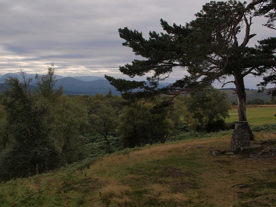 ModerateViewpoint Trail, Grantown-on-Spey5.2 km · 2 hr · 3.7 km awayA steep climb to a hilltop cairn above Grantown
 ModerateVia Regia13.7 km · 5.5 hr · 3.7 km awayFords, ruins, and a medieval road that fades into bog.
 ModerateDava Way38.2 km · 11 hr · 3.7 km awayWalk the old railway across open moor to a seven-arch viaduct.
 ModerateDreggie and Glen Beg Circuit9 km · 3 hr · 3.7 km awayA rolling loop through Glen Beg hills, the Spey and a lochan
 ModerateAnagach Red Trail8.9 km · 2.5 hr · 4.1 km awayA longer loop into the heart of Anagach’s pinewoods.
 ModerateAnagach Blue Trail4 km · 1.3 hr · 4.1 km awayA blue loop through Anagach’s pinewoods and moss.
 Campground · 3.2 km awayGrantown-on-Spey Caravan ParkStay close to town, with touring pitches, pods and a chalet.
 Sight · 3.7 km awayGrantown MuseumA Highland town’s story, from a brass brooch to its old schoolhouse.
 Sight · 9.5 km awayCastle RoyA compact medieval fortress with a wide Cairngorms view.
 Visitor center · 9.6 km awayThe Speyside CentreA plant-filled café stop with clootie dumpling and Highland gifts.
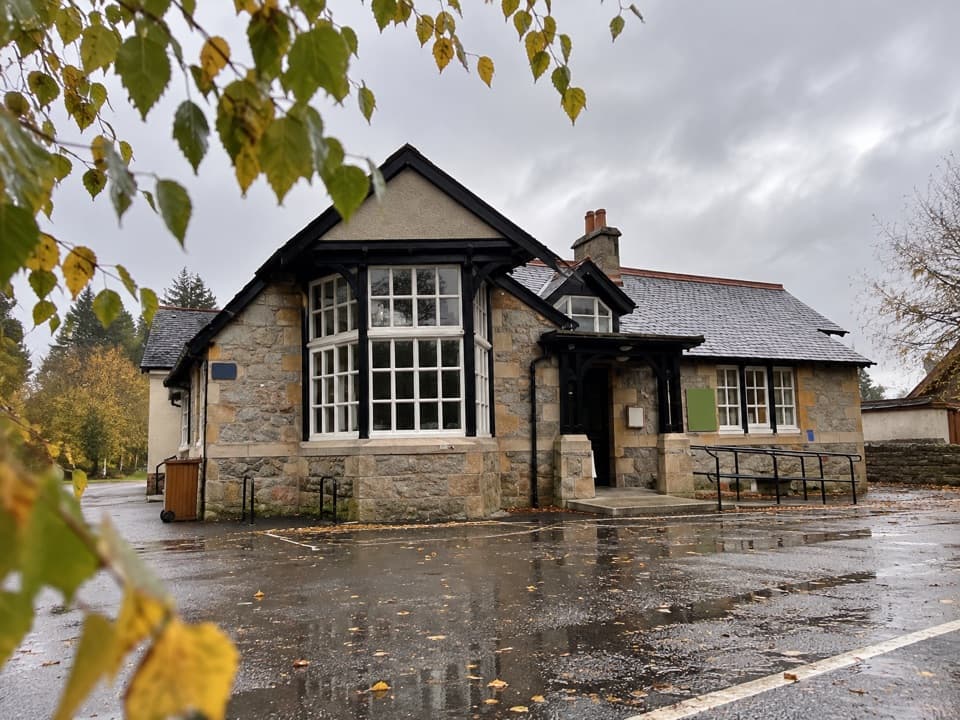 Visitor center · 11 km awayExplore Abernethy Visitor CentreA useful first stop for Abernethy Forest maps and woodland walks.
 Visitor center · 13.7 km awayLoch Garten Nature CentreNest scopes, wildlife cameras and pinewood trails, whatever you spot.
 Sight · 14.1 km awayCarrbridge Old Packhorse BridgeA ruined 1717 bridge with a funeral-route story.
 Sight · 14.5 km awayLandmark Forest Adventure ParkForest trails, tower views and water rides fill a full family day.
Parkwolf’s Cairngorms ranking

The audio tour guide for the drive, plus offline maps, trails, and wildlife heatmaps for when the signal drops.





