Parking
The only parking spot identified is just west of Bridge of Bantrach, at a sharp bend on the south side of the river, near the mapped finish. No parking directions are given for the Auchnagallin start, so arrange a lift or a second vehicle.

Cairngorms National Park, SC
Fords, ruins, and a medieval road that fades into bog.
Overview
Map & elevation
Plan your hike

The highest, rockiest slopes around here are a summer buffet for grizzly bears.
Cairngorms Tour Guide
Parkwolf is a GPS audio tour guide for Cairngorms National Park. As you drive, it chimes in with what’s ahead: hidden gems, upcoming stops, history, geology, and wildlife, right through your car’s speakers.
See the Cairngorms audio tourRecorded for this area
How a River Makes Foam“A patch of foam below river rapids can start with fallen leaves. As leaves and other plants break down, they release natural substances that lower the water's surface tension, helping air bubbles last longer.”
Plays on the road 0.8 km from the trailhead in the Parkwolf Cairngorms Tour Guide.
More stories near here in the app
“Fantastic app with many points of information… It’s great to just turn on while you’re driving and it gives you an audio tour of the national Park. We love it!!!!”


Trail guide
Via Regia is an 8.5-mile, one-way heritage walk from an unclassified road west of Auchnagallin to Bridge of Bantrach on the River Divie, south of Dunphail. It follows an old road between the Spey area and Forres or Elgin, mixing farm tracks and woodland with rough, boggy ground. Allow about five and a half hours. Choose it if you are comfortable following an indistinct old route and handling fords; it is not a casual heritage stroll. The mapped line uses the riverside finish to Bridge of Bantrach, not the alternative approach via Feakirk Bridge.
A good track leaves the road west of Auchnagallin, passes Badahall ruin and reaches a shooting hut. The older line then follows the Ourack Burn, crosses a ford and turns west near the old Ourack farm. Beyond it, a short rough track ends; traces of path and old road continue through boggy heather along the burn’s west bank. This is the hardest stretch to follow. Keep the route on your map and confirm each turn before leaving the clearer track.
The line enters a conifer plantation through a metal gate, reaches Lynagowan ruin and continues on a modern track to a ford over the River Divie. Past Glenmore ruin, the mapped route descends beside the river to Bridge of Bantrach. There are two fords, so do not attempt a crossing when the water is unsafe. This is point-to-point, and the only parking spot identified is near the far end; arrange a lift or a second vehicle. No food, water or toilets are identified along the route.
Via Regia means “King’s Way.” The route is described as a major 12th-century link between the Spey area and Forres or Elgin. The name refers to the road’s status; it does not show that a king used it. Dogs are allowed under Scotland’s responsible access rules, but keep them under control around livestock and wildlife.
Wildlife
 159 sightingsRed DeerMost seen around 7 AMSighting map
 63 sightingsReindeerMost seen around 6 PMSighting map
 102 sightingsOspreyMost seen around 5 PMSighting map
 37 sightingsBlack GrouseMost seen around 4 AMSighting map
 72 sightingsRed GrouseMost seen around 6 PMSighting map
 82 sightingsPine MartenMost seen around 9 PMSighting map
Sighting maps show where each species has been reported across Cairngorms. Wildlife moves, so no sighting is guaranteed.
Keep exploring
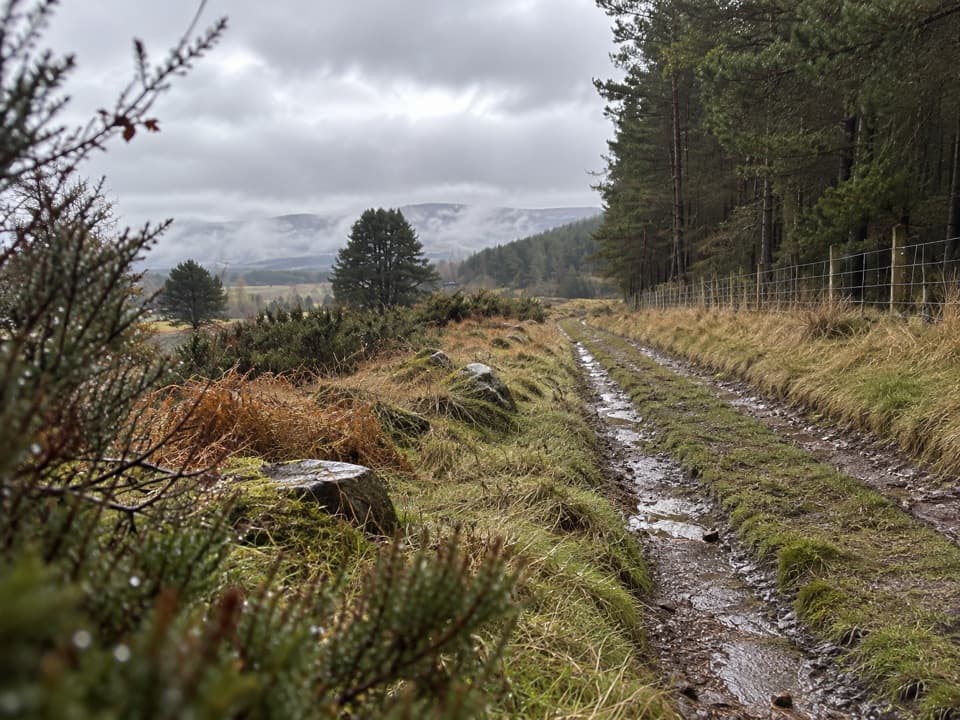 ModerateGrantown-on-Spey Military Road4.4 km · 1.8 hr · 3.7 km awayA short crossing on an 18th-century military road.
 ChallengingCreagan a’ Chaise, Cromdale Hills16.1 km · 4.5 hr · 5.9 km awayA 10-mile moorland walk to two cairns above Speyside.
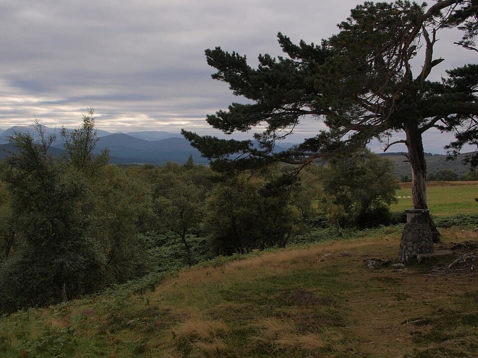 ModerateViewpoint Trail, Grantown-on-Spey5.2 km · 2 hr · 6.1 km awayA steep climb to a hilltop cairn above Grantown
 ModerateDava Way38.2 km · 11 hr · 6.2 km awayWalk the old railway across open moor to a seven-arch viaduct.
 ModerateDreggie and Glen Beg Circuit9 km · 3 hr · 6.2 km awayA rolling loop through Glen Beg hills, the Spey and a lochan
 ModerateBeachen Green Trail2 km · 45 min · 6.3 km awayBirch and juniper woods frame a short climb to Grantown views.
 ModerateBeachen Orange Trail4.8 km · 2 hr · 6.3 km awayA rough woodland loop opens to a Glenbeg view.
 ModerateAnagach Red Trail8.9 km · 2.5 hr · 6.5 km awayA longer loop into the heart of Anagach’s pinewoods.
 Campground · 6 km awayGrantown-on-Spey Caravan ParkStay close to town, with touring pitches, pods and a chalet.
 Sight · 6 km awayGrantown MuseumA Highland town’s story, from a brass brooch to its old schoolhouse.
 Sight · 12.6 km awayCastle RoyA compact medieval fortress with a wide Cairngorms view.
 Visitor center · 13.1 km awayThe Speyside CentreA plant-filled café stop with clootie dumpling and Highland gifts.
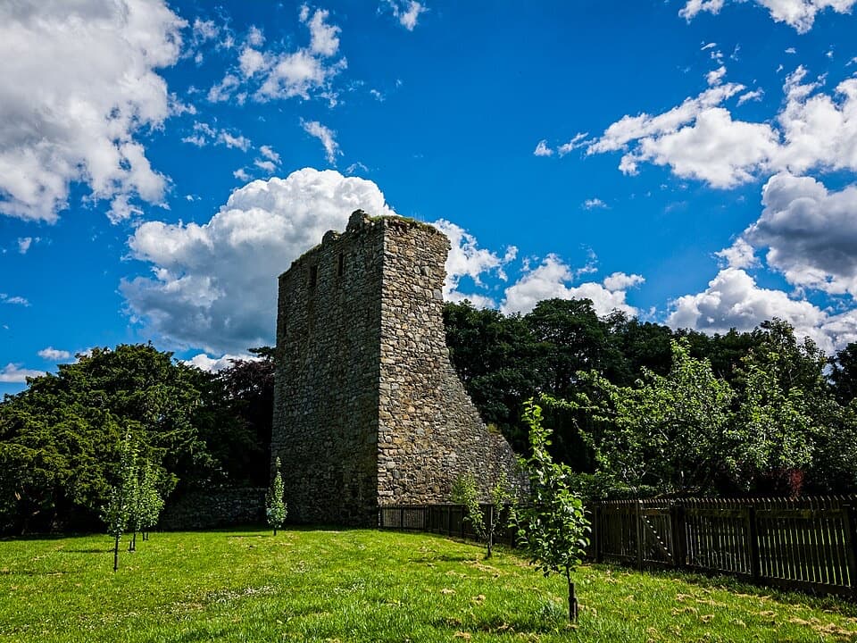 Sight · 14 km awayDrumin CastleA small tower ruin perched above the Livet and Avon.
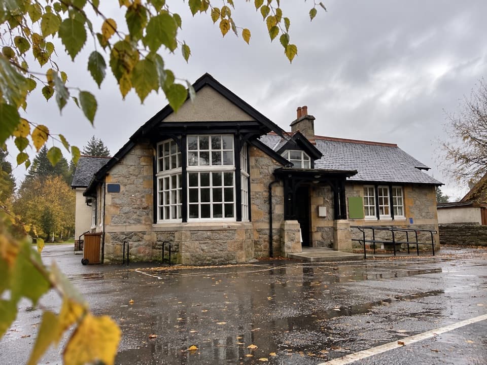 Visitor center · 14.1 km awayExplore Abernethy Visitor CentreA useful first stop for Abernethy Forest maps and woodland walks.
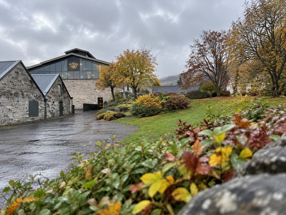 Sight · 15.5 km awayThe Glenlivet DistillerySee Speyside whisky being made, then taste it.
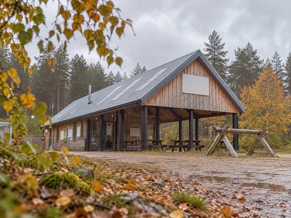 Sight · 15.7 km awayBike GlenlivetFlowing mountain-bike trails, café and zip wire reward a longer stop.
Parkwolf’s Cairngorms ranking

The audio tour guide for the drive, plus offline maps, trails, and wildlife heatmaps for when the signal drops.





