Parking
Use the small layby just west of the Allt Mhoraich bridge on the minor road toward Catlodge; it fits about two cars. No public transport reaches the start.
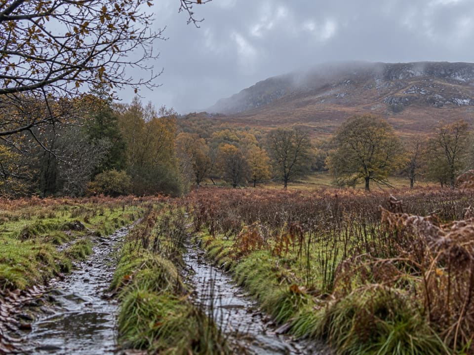
Cairngorms National Park, SC
A rough moorland loop where the track fades beneath the crags.
Overview
Map & elevation
Plan your hike

The highest, rockiest slopes around here are a summer buffet for grizzly bears.
Cairngorms Tour Guide
Parkwolf is a GPS audio tour guide for Cairngorms National Park. As you drive, it chimes in with what’s ahead: hidden gems, upcoming stops, history, geology, and wildlife, right through your car’s speakers.
See the Cairngorms audio tourRecorded for this area
A Caddisfly’s Portable Home“A tiny tube of sand or twigs moving across the bottom of a stream may be a caddisfly larva.”
Plays on the road 1.6 km from the trailhead in the Parkwolf Cairngorms Tour Guide.
More stories near here in the app
“Fantastic app with many points of information… It’s great to just turn on while you’re driving and it gives you an audio tour of the national Park. We love it!!!!”


Trail guide
Allt Mhoraich Circuit circles Creag na Sanais above upper Speyside. It is 5.5 km (3.5 miles) around, with about 238 m of ascent; allow two to two and a half hours. The payoff is a quiet moorland walk with broad views into Spey Valley and Badenoch. The trade-off is very sparse waymarking and tread that disappears in places, so this suits walkers comfortable navigating open, boggy ground.
From the small layby west of Allt Mhoraich bridge, pass through the signed gate and climb a faint track across grassy fields toward Creag na Sanais. The burn lies far below on the left, edged by trees. The track aims toward the crags, then swings left below their broken faces. After a couple of marker posts, the path fades out; continue across the open moor beneath the crags. Views open down the Spey Valley here.
Boggy ground leads to a fence; turn right and follow it around the back of the hill. As the route descends, keep about 50 yards to the right of the fence, where a path appears intermittently. The descent follows the fence for roughly a kilometre, with one steep stretch followed by boggy ground. At the planted area's edge, take the right-hand fence, then cross the wet, rough moor when it turns left. A wind turbine by the cottages at Easter Breakachy is a useful direction cue. Markers and a gate above the cottages lead to the minor road; turn right and walk about a kilometre back to the start.
The layby is just west of the Allt Mhoraich bridge on the minor road toward Catlodge and has room for about two cars. There is no public transport to the start, and no toilets, water or food were found at the trailhead or along the route. Livestock are often in the first field; the farmer asks walkers to leave dogs behind.
Wildlife
 159 sightingsRed DeerMost seen around 7 AMSighting map
 63 sightingsReindeerMost seen around 6 PMSighting map
 102 sightingsOspreyMost seen around 5 PMSighting map
 37 sightingsBlack GrouseMost seen around 4 AMSighting map
 72 sightingsRed GrouseMost seen around 6 PMSighting map
 82 sightingsPine MartenMost seen around 9 PMSighting map
Sighting maps show where each species has been reported across Cairngorms. Wildlife moves, so no sighting is guaranteed.
Keep exploring
 ModerateGlentruim Forest Loop2.9 km · 1.5 hr · 2 km awayA blue-waymarked forest loop past the Centre of Scotland Stone.
 ModerateGlentruim Forest Viewpoint Walk2.1 km · 1 hr · 2.1 km awayA brief, steep climb to a broad Badenoch panorama.
 ModerateFalls of Truim Trail1 km · 30 min · 2.6 km awaySeveral close looks at the River Truim's rocky rapids.
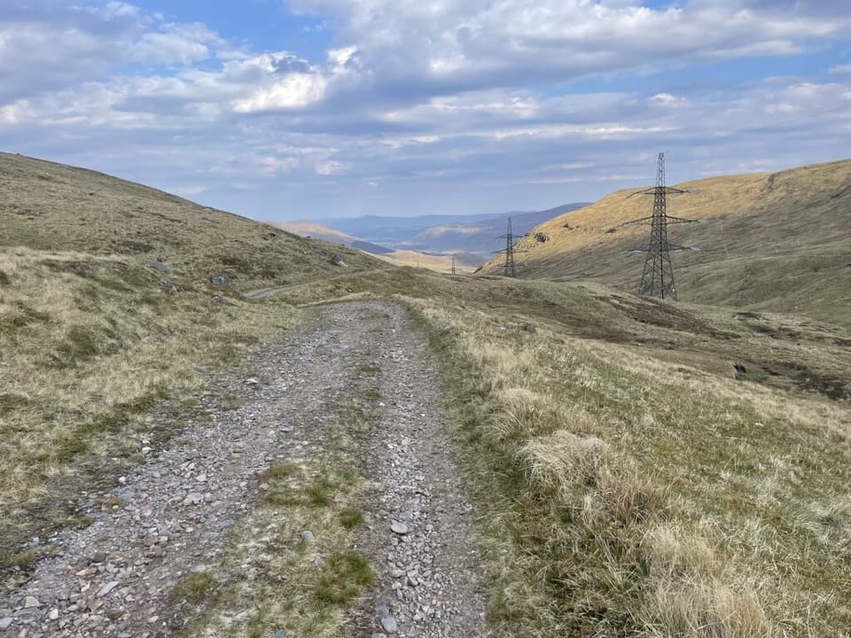 ChallengingCorrieyairack Pass39.4 km · 11 hr · 4.5 km awayFollow General Wade’s 1731 road across the Monadhliath.
 ModerateGorstean Trail4.2 km · 1.5 hr · 5 km awayA firm gravel forest path shared with mountain bikers
 ModerateDun da Lamh Fort Trail7.2 km · 3 hr · 6.6 km awayClimb Laggan woodland to an Iron Age fort with wide Highland views.
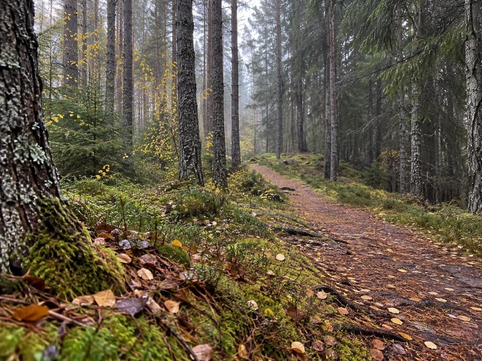 ModerateSpruce and Squirrel Trail, Laggan2.2 km · 45 min · 6.7 km awayFollow red waymarks and look for pine cones nibbled by squirrels.
 ModerateMeall Chuaich from Layby 9414.1 km · 4.5 hr · 6.9 km awayA long track walk earns a broad Munro summit panorama.
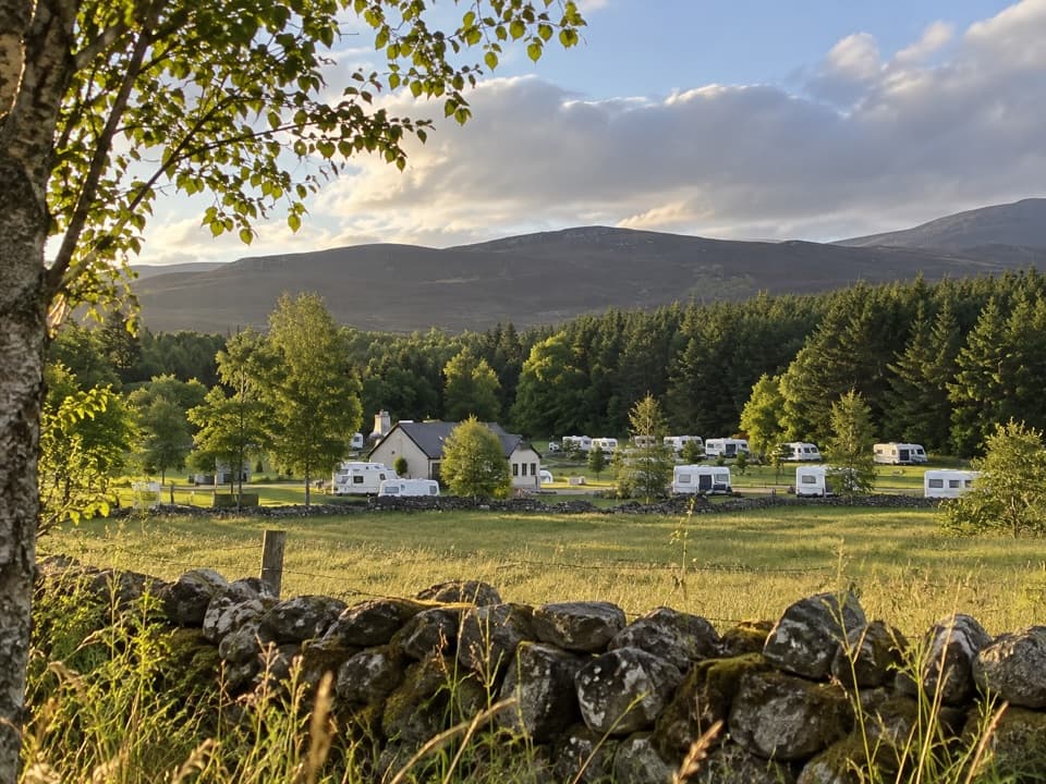 Campground · 3.3 km awayInvernahavon Caravan ParkRoomy pitches, hot showers and wooded Highland views.
 Sight · 6.7 km awayLaggan WolftraxOver 20 forest miles, from beginner greens to one unforgiving black.
 Sight · 7.7 km awayClan Macpherson MuseumClan stories, Jacobite objects and music in a village museum.
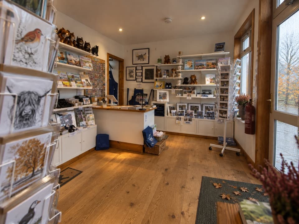 Visitor center · 8 km awayThe Wildcat CentrePick up a map and hunt Newtonmore’s 132 painted wildcats.
 Sight · 8.3 km awayDalwhinnie DistilleryWhisky tours and tastings at a Highland distillery 355 metres up.
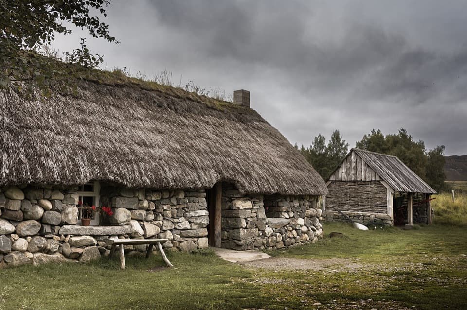 Sight · 9.4 km awayHighland Folk MuseumA reconstructed township and over 35 Highland buildings to explore.
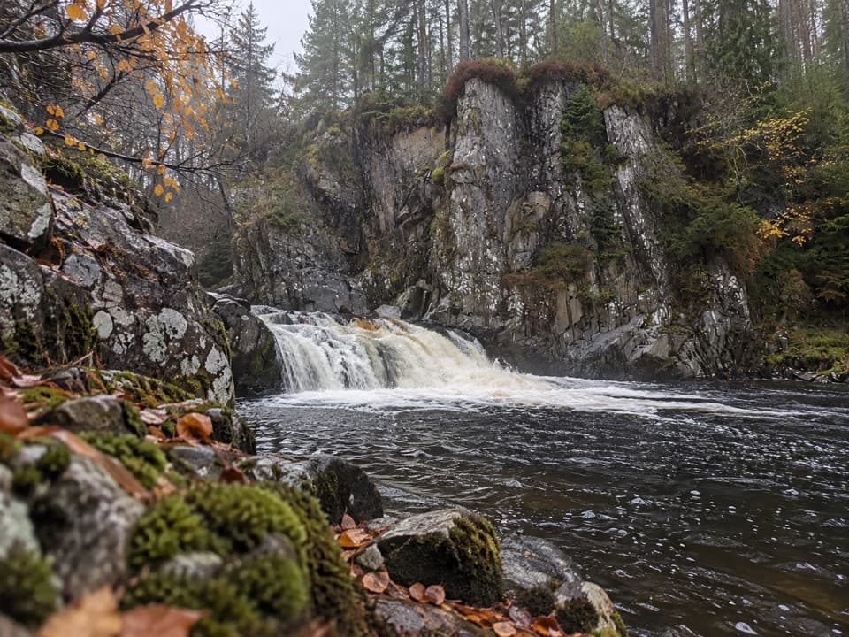 Sight · 9.8 km awayPattack FallsShort woodland walk to cascades in a rocky gorge.
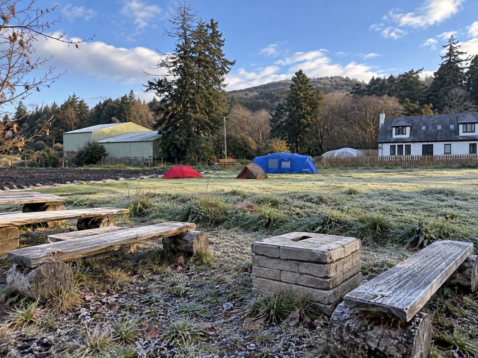 Campground · 11.7 km awayKingussie Camping & AireA practical motorhome stop beside Kingussie station.
Parkwolf’s Cairngorms ranking

The audio tour guide for the drive, plus offline maps, trails, and wildlife heatmaps for when the signal drops.





