Parking
No verified public parking details at the A95/B9153 start or Raigbeg. This is a point-to-point walk, so arrange a lift or two-car transfer between the ends.

Cairngorms National Park, SC
An 18th-century military road links bridges, forest and open heather.
Overview
Slochd Military Road is an 18 km (11.2 mi) point-to-point walk from the A95/B9153 junction north of Kinveachy to Raigbeg. It follows surviving sections of General Wade’s 18th-century road through forest, the Slochd pass and open heather. Allow about six hours. The main commitment is the distance and variable footing, with two careful A9 crossings and harder route-finding north of the pass. A recorded walk to a nearby layby measured 19.7 km, so using a different endpoint can add distance. Arrange transport between the ends; parking details at both are unclear.
 Parkwolf’s verdictIs this the walk for you?
Map & elevation
Plan your hike

The highest, rockiest slopes around here are a summer buffet for grizzly bears.
Cairngorms Tour Guide
Parkwolf is a GPS audio tour guide for Cairngorms National Park. As you drive, it chimes in with what’s ahead: hidden gems, upcoming stops, history, geology, and wildlife, right through your car’s speakers.
See the Cairngorms audio tourRecorded for this area
A World Title for Porridge“Carrbridge has made a world championship out of porridge. The first competition was held in nineteen ninety-four, after a local hotel owner came up with the idea to promote the village.”
Plays on the road 1.1 km from the trailhead in the Parkwolf Cairngorms Tour Guide.
More stories near here in the app
“Fantastic app with many points of information… It’s great to just turn on while you’re driving and it gives you an audio tour of the national Park. We love it!!!!”


Trail guide
The route starts on the road toward Kinveachy Lodge, passes under the railway, then crosses the A9 before turning northwest onto the old road through forest. After about 5 km it meets a narrow road and a gate; if the gate is shut, a described option follows the road northeast to National Cycle Network route 7, which rejoins the military road. The descent beyond is steep and stone-laid, and can be greasy when wet. Sluggan Bridge carries the route over the River Dulnain. Near Insharn, the cycle route turns north while the old road heads west, crosses a small stone arch bridge and climbs beside woodland. It goes under the railway and follows the old A9 into Slochd Mor, then crosses the modern A9 again at the summit.
Beyond Slochd, the old road first serves as a communications-mast track, then fades into a shallow line across heather as it descends to the River Findhorn at Raigbeg. Parts are washed out or hard to follow; where the old road has become a deep, gorse-filled trench, shorter heather beside it may be easier. Keep a map or navigation track ready for this open section.
The military road between Dunkeld and Inverness was built from 1728 to 1730 under General Wade. Much of it now lies beneath the A9, but the Slochd section survives on another alignment. Sluggan Bridge was built at Major Caulfeild’s instigation in 1764 to replace a ford, destroyed in a flood and rebuilt five years later. A later direct road between Carrbridge and Slochd bypassed the bridge and the southern section. The large stones on higher stretches were probably line-of-sight markers and aids to winter travel. At Sluggan Bridge, include the arch with the River Dulnain in the frame to show how the old road crossed the valley.
Wildlife
 159 sightingsRed DeerMost seen around 7 AMSighting map
 63 sightingsReindeerMost seen around 6 PMSighting map
 102 sightingsOspreyMost seen around 5 PMSighting map
 37 sightingsBlack GrouseMost seen around 4 AMSighting map
 72 sightingsRed GrouseMost seen around 6 PMSighting map
 82 sightingsPine MartenMost seen around 9 PMSighting map
Sighting maps show where each species has been reported across Cairngorms. Wildlife moves, so no sighting is guaranteed.
Keep exploring
 EasyLoch Vaa Circuit3.6 km · 1 hr · 1.3 km awayA short lochside loop with a boathouse and an esker.
 ModerateRoe Deer Trail, Boat of Garten3.1 km · 48 min · 2.1 km awayA 1.9-mile forest loop branching off the Red Squirrel Trail
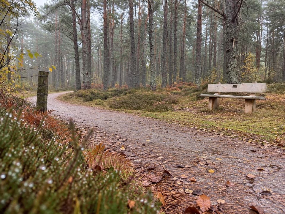 EasyCapercaillie Trail, Boat of Garten1.6 km · 45 min · 2.7 km awayEasy pinewood loop with benches and a capercaillie story
 ModerateSalmon Trail, Boat of Garten4 km · 1 hr · 3.3 km awayA 2.5-mile loop from the village to the Spey and golf course.
 EasyOsprey Trail, Boat of Garten9.6 km · 3 hr · 3.3 km awayFollow the Spey into pinewoods to Loch Garten’s Osprey Centre.
 ModerateRed Squirrel Trail, Boat of Garten4.8 km · 1.5 hr · 3.3 km awayA village loop with a proper stretch through Scots pine woods
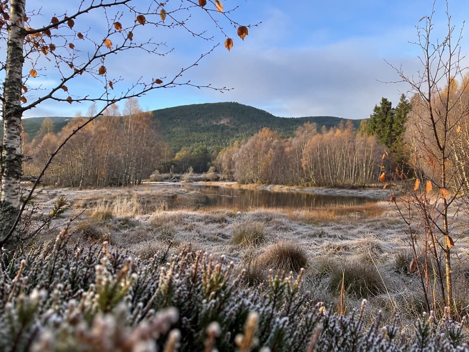 ModeratePine Marten Trail, Boat of Garten11.3 km · 3.5 hr · 3.3 km awayA railway-side woodland track ends at a small loch with open views.
 EasyHeron Trail, Boat of Garten1.6 km · 30 min · 3.4 km awayAn easy village walk to a lochside boardwalk and pond platform.
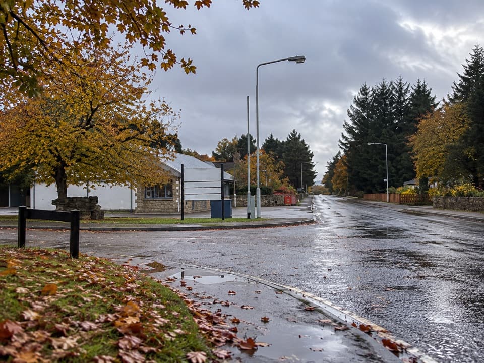 Lodging · 2.9 km awayBoat of Garten Holiday ParkA handy village base for exploring Strathspey and the Cairngorms.
 Sight · 3.5 km awayLandmark Forest Adventure ParkForest trails, tower views and water rides fill a full family day.
 Campground · 4 km awayOakwood Caravan & Camping ParkOak-shaded camping, with Aviemore a 20–30-minute walk away.
 Sight · 4.2 km awayCarrbridge Old Packhorse BridgeA ruined 1717 bridge with a funeral-route story.
 Sight · 5.1 km awayCairngorm BreweryA small Aviemore taproom for trying local ales and taking favourites home.
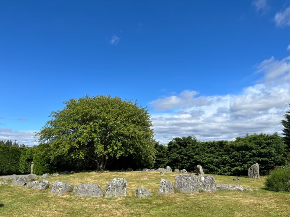 Sight · 5.4 km awayAviemore Ring Cairn and Stone CircleA small prehistoric circle in Aviemore’s unexpected village setting.
 Sight · 6.5 km awayStrathspey RailwayA vintage train runs through Speyside to TV-famous Broomhill.
 Visitor center · 6.8 km awayLoch Garten Nature CentreNest scopes, wildlife cameras and pinewood trails, whatever you spot.
Parkwolf’s Cairngorms ranking
The audio tour guide for the drive, plus offline maps, trails, and wildlife heatmaps for when the signal drops.





