Parking
Use the Loch Vaa parking area on the left beside Laggantrygown Cemetery, off the A95; the locked cemetery car park is separate. A further layby lies toward Aviemore.

Cairngorms National Park, SC
A short lochside loop with a boathouse and an esker.
Overview
Map & elevation
Plan your hike

The highest, rockiest slopes around here are a summer buffet for grizzly bears.
Cairngorms Tour Guide
Parkwolf is a GPS audio tour guide for Cairngorms National Park. As you drive, it chimes in with what’s ahead: hidden gems, upcoming stops, history, geology, and wildlife, right through your car’s speakers.
See the Cairngorms audio tourRecorded for this trailhead
Loch Vaa and its Wooded Ridge“Loch Vaa's walking access is coming up beside Laggantrygown Cemetery. Choose this for an hour among wooded shores, with a red-roofed boathouse, two stiles and a short steep descent on the circuit.”
Plays as you drive up to this trailhead in the Parkwolf Cairngorms Tour Guide.
More stories near here in the app
“Fantastic app with many points of information… It’s great to just turn on while you’re driving and it gives you an audio tour of the national Park. We love it!!!!”


Trail guide
Loch Vaa Circuit is a 3.5 km (2.25 mi) loop from the small parking area beside Laggantrygown Cemetery. It gains about 28 m and takes around an hour. The route follows the shore to the boathouse, then makes a wooded detour before returning over a low ridge. Choose it for the boathouse, wooded shore and a longer forest loop rather than a mountain view. Shorter paths also circle the water, but this route includes the woodland detour.
Start on the clear path outside the cemetery’s left edge. It climbs a wooded esker, then curves down to the loch. Follow the shore left toward the red-roofed boathouse. From there, head into the woods and stay on the main track, passing to the right of a locked gate. Keep ignoring side tracks until about a kilometre beyond the gate, where a smaller right-hand track turns back toward the water; a small boulder among rocks marks its second branch.
The narrow return path reaches a stile and climbs a low wooded rise with views over the loch. At the next fork, take the right branch down the steeper slope, then follow the fence to another stile. The path along the esker top brings you back to the outward route and the car park.
Expect informal paths beside the water and woodland tracks farther out. The shore tread shifts with water levels, so it may not stay right at the water’s edge. The return has two stiles, several small forks and one short steep descent; watch for the boulder at the turn rather than following every path toward the loch.
The wooded ridge is an esker, a long mound left by meltwater flowing beneath glacial ice. The loop crosses it near the start and again on the way back. Loch Vaa holds the remains of a crannog, a human-built island dwelling. When water levels fell in 2018–19, the remains drew renewed archaeological attention; a possible earlier Pictish or Iron Age phase has been suggested, but that interpretation is tentative. From the shore, the boathouse makes the most distinctive picture: frame its red roof against the pines with a strip of water in front.
Use the Loch Vaa parking area on the left beside Laggantrygown Cemetery, off the A95; the locked cemetery car park is separate. There is another layby toward Aviemore. No Loch Vaa-specific dog rule was found, so check local notices and follow Scotland’s outdoor access rules. The route information did not confirm toilets, drinking water or food at the trailhead.
Wildlife
 159 sightingsRed DeerMost seen around 7 AMSighting map
 63 sightingsReindeerMost seen around 6 PMSighting map
 102 sightingsOspreyMost seen around 5 PMSighting map
 37 sightingsBlack GrouseMost seen around 4 AMSighting map
 72 sightingsRed GrouseMost seen around 6 PMSighting map
 82 sightingsPine MartenMost seen around 9 PMSighting map
Sighting maps show where each species has been reported across Cairngorms. Wildlife moves, so no sighting is guaranteed.
Keep exploring
 ModerateSlochd Military Road18 km · 6 hr · 1.3 km awayAn 18th-century military road links bridges, forest and open heather.
 ModerateRoe Deer Trail, Boat of Garten3.1 km · 48 min · 2.1 km awayA 1.9-mile forest loop branching off the Red Squirrel Trail
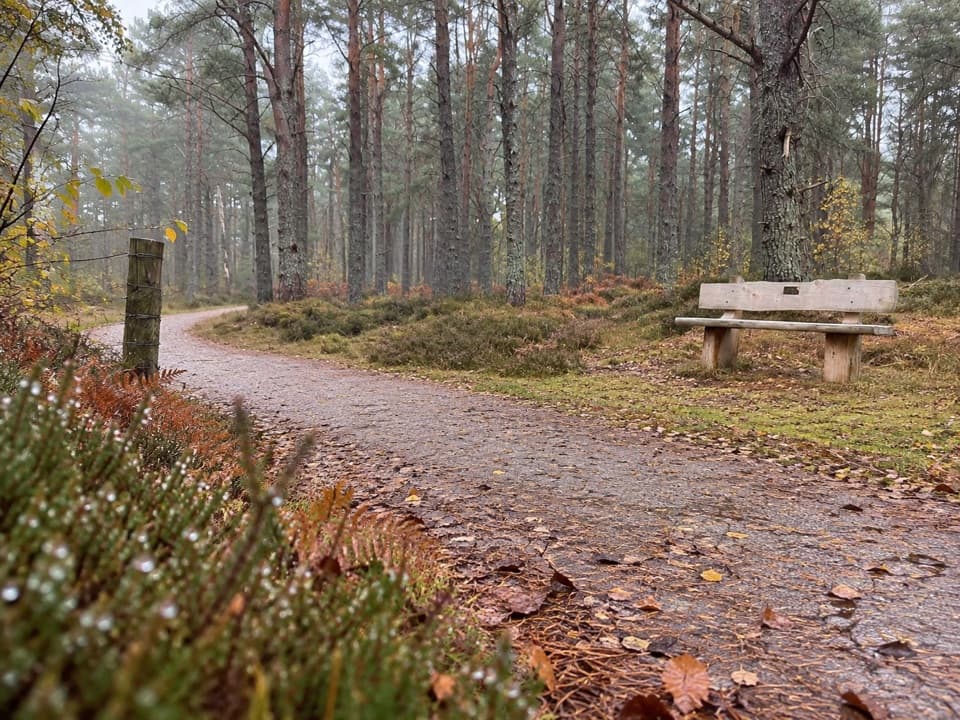 EasyCapercaillie Trail, Boat of Garten1.6 km · 45 min · 3 km awayEasy pinewood loop with benches and a capercaillie story
 ModerateRed Squirrel Trail, Boat of Garten4.8 km · 1.5 hr · 3.6 km awayA village loop with a proper stretch through Scots pine woods
 ModerateSalmon Trail, Boat of Garten4 km · 1 hr · 3.6 km awayA 2.5-mile loop from the village to the Spey and golf course.
 EasyOsprey Trail, Boat of Garten9.6 km · 3 hr · 3.6 km awayFollow the Spey into pinewoods to Loch Garten’s Osprey Centre.
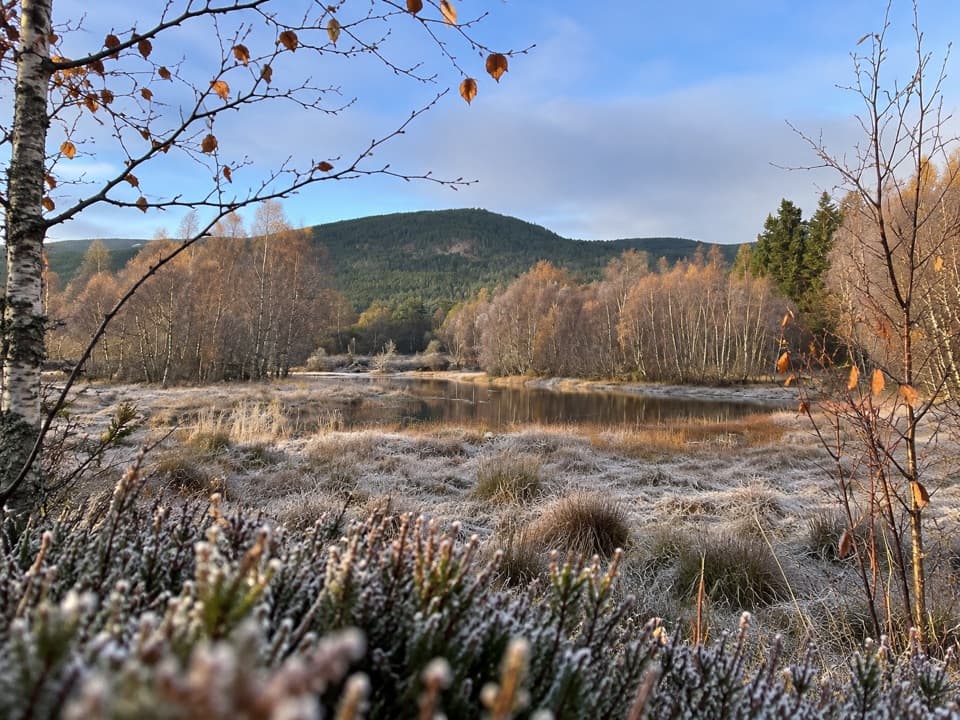 ModeratePine Marten Trail, Boat of Garten11.3 km · 3.5 hr · 3.6 km awayA railway-side woodland track ends at a small loch with open views.
 EasyHeron Trail, Boat of Garten1.6 km · 30 min · 3.6 km awayAn easy village walk to a lochside boardwalk and pond platform.
 Campground · 2.8 km awayOakwood Caravan & Camping ParkOak-shaded camping, with Aviemore a 20–30-minute walk away.
 Lodging · 3.3 km awayBoat of Garten Holiday ParkA handy village base for exploring Strathspey and the Cairngorms.
 Sight · 3.8 km awayCairngorm BreweryA small Aviemore taproom for trying local ales and taking favourites home.
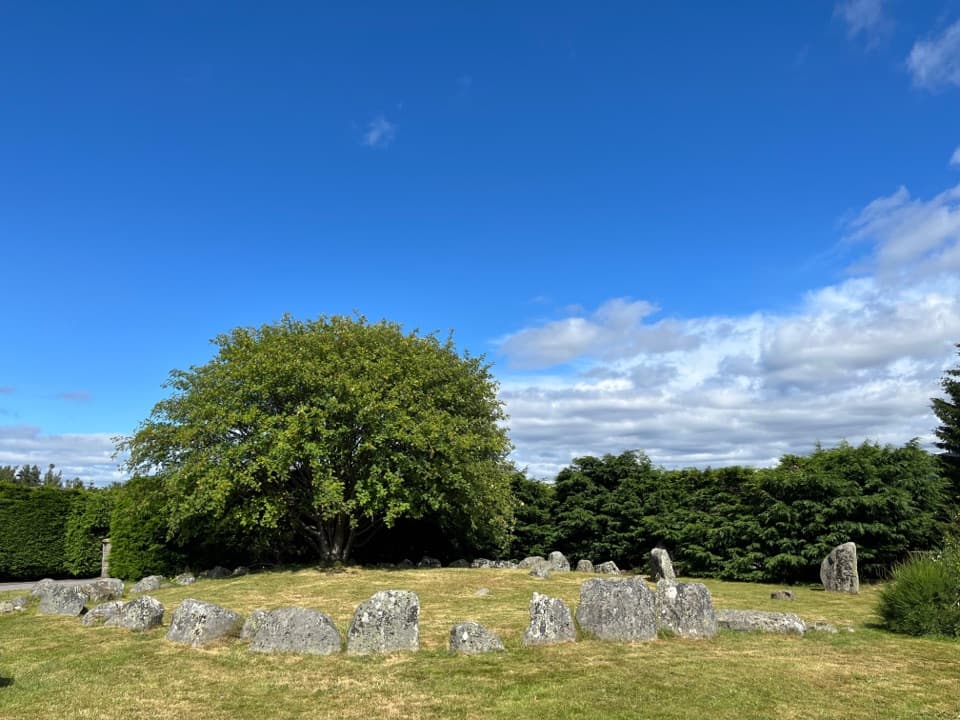 Sight · 4.2 km awayAviemore Ring Cairn and Stone CircleA small prehistoric circle in Aviemore’s unexpected village setting.
 Sight · 4.8 km awayLandmark Forest Adventure ParkForest trails, tower views and water rides fill a full family day.
 Sight · 5.2 km awayStrathspey RailwayA vintage train runs through Speyside to TV-famous Broomhill.
 Sight · 5.5 km awayCarrbridge Old Packhorse BridgeA ruined 1717 bridge with a funeral-route story.
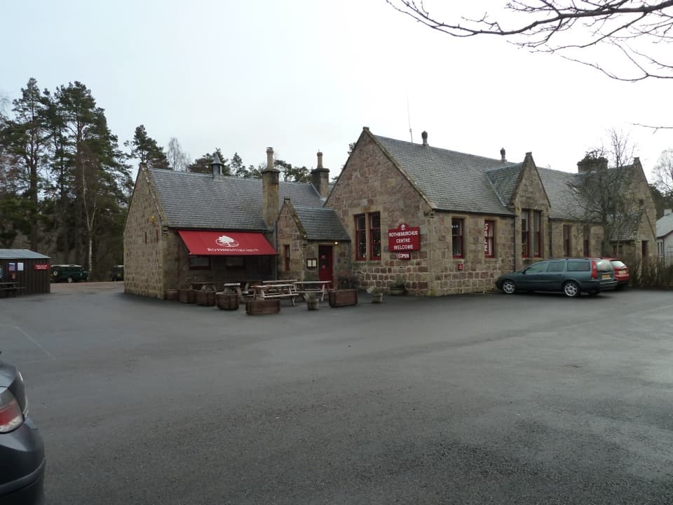 Visitor center · 6.5 km awayRothiemurchus CentreCoffee, estate food and a handy start to local walks.
Parkwolf’s Cairngorms ranking

The audio tour guide for the drive, plus offline maps, trails, and wildlife heatmaps for when the signal drops.





